



Amazonas route

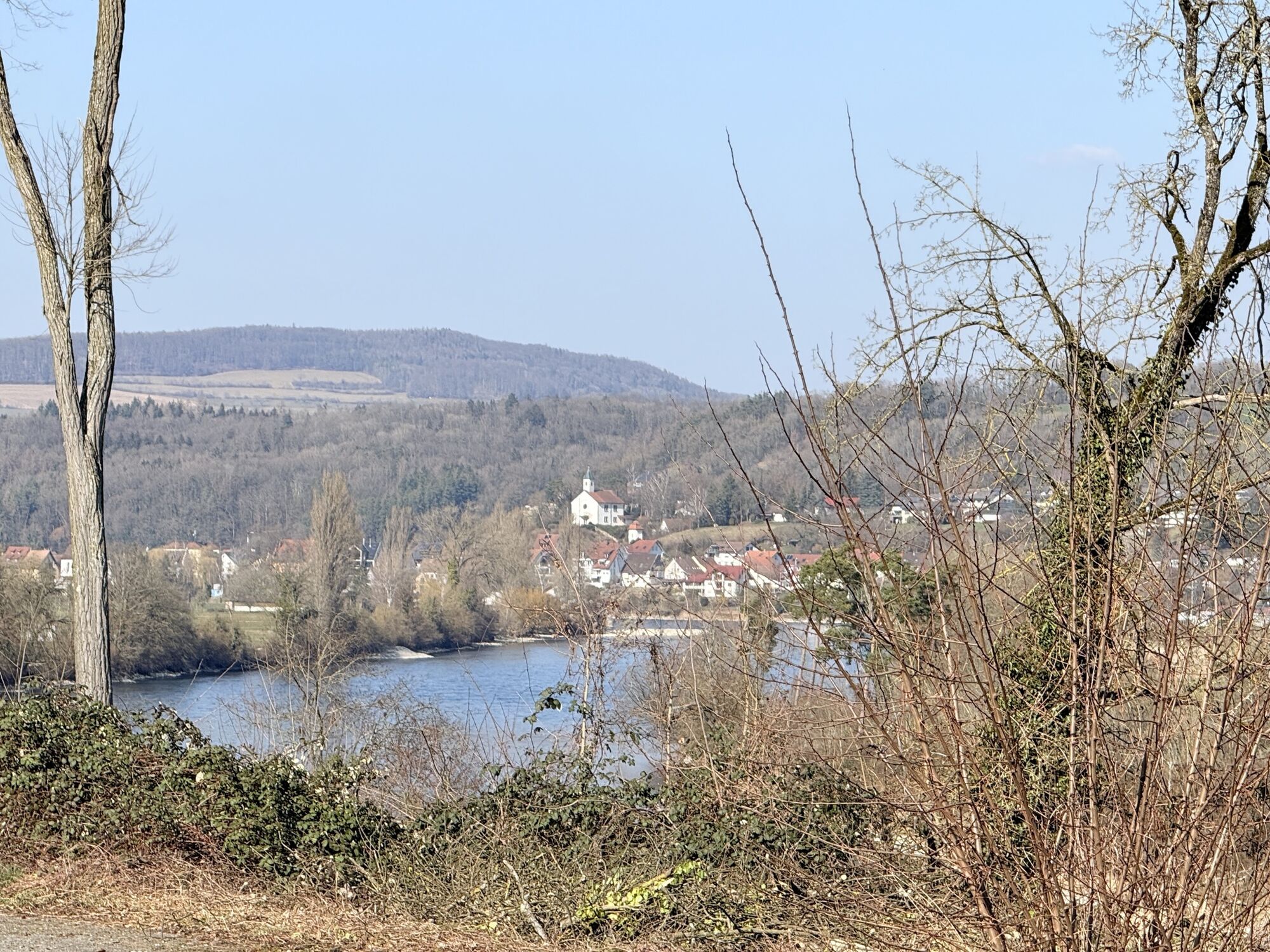
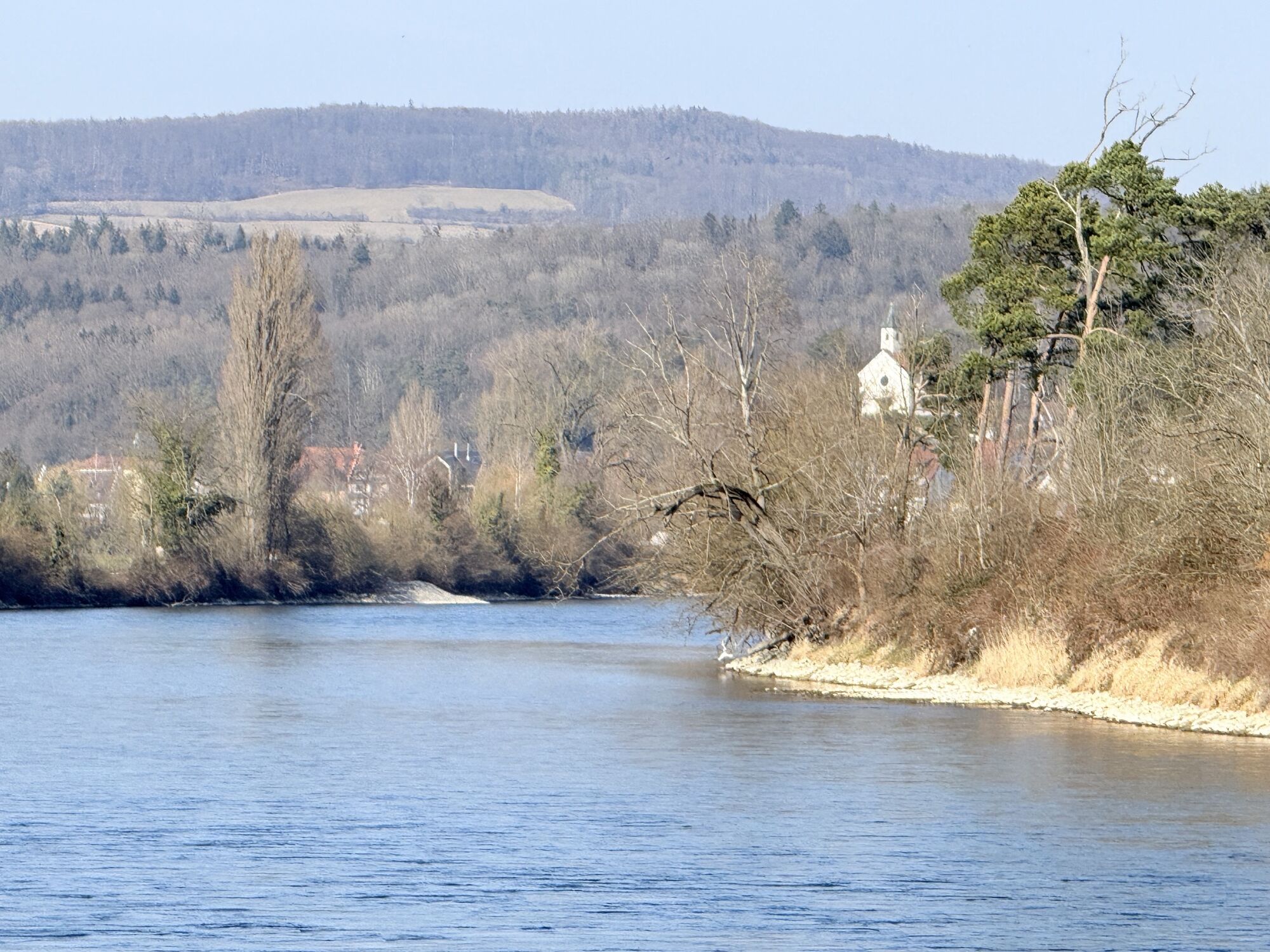
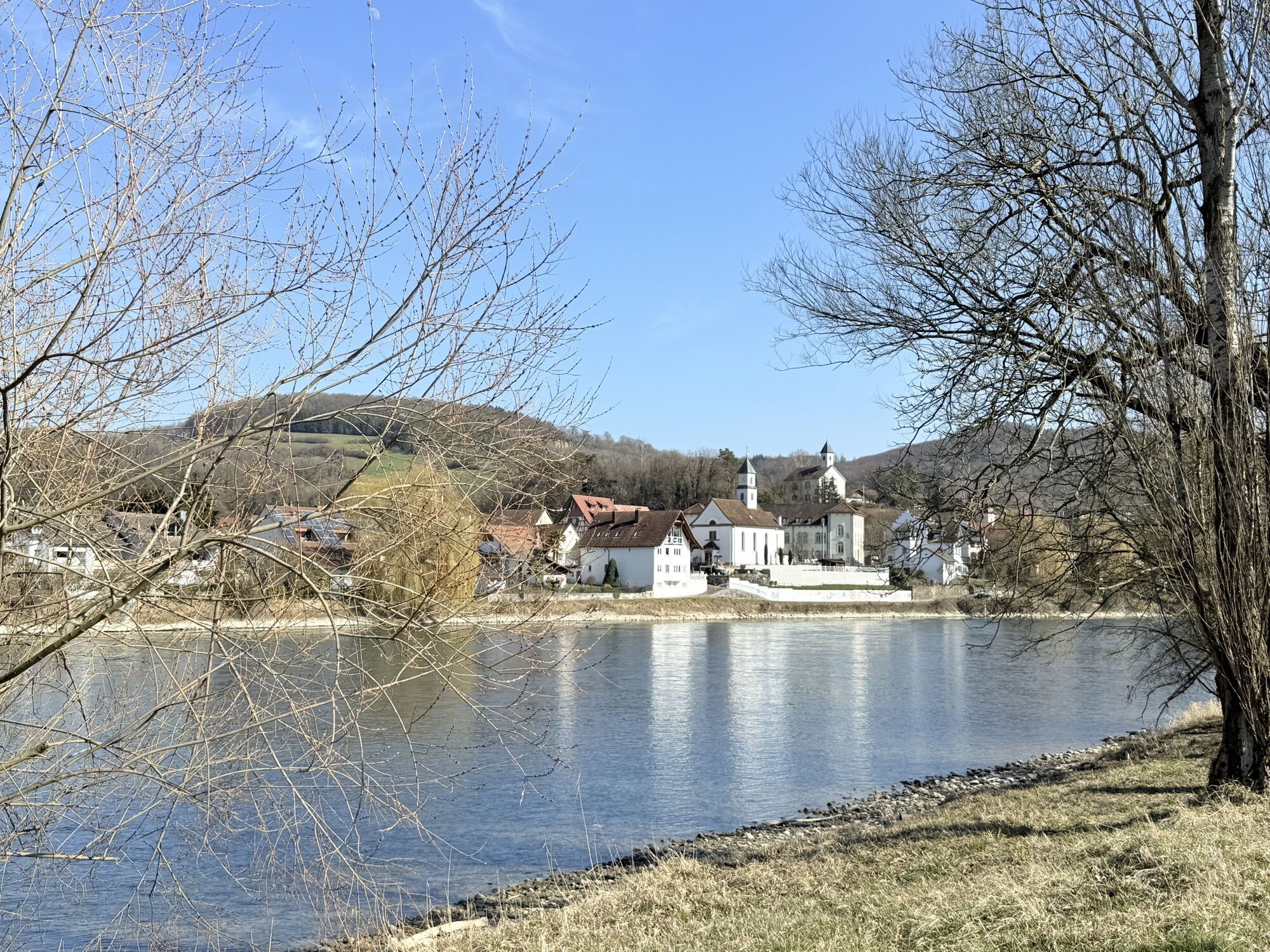
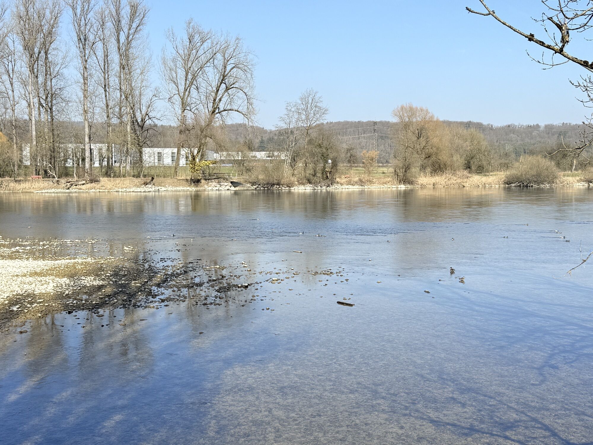
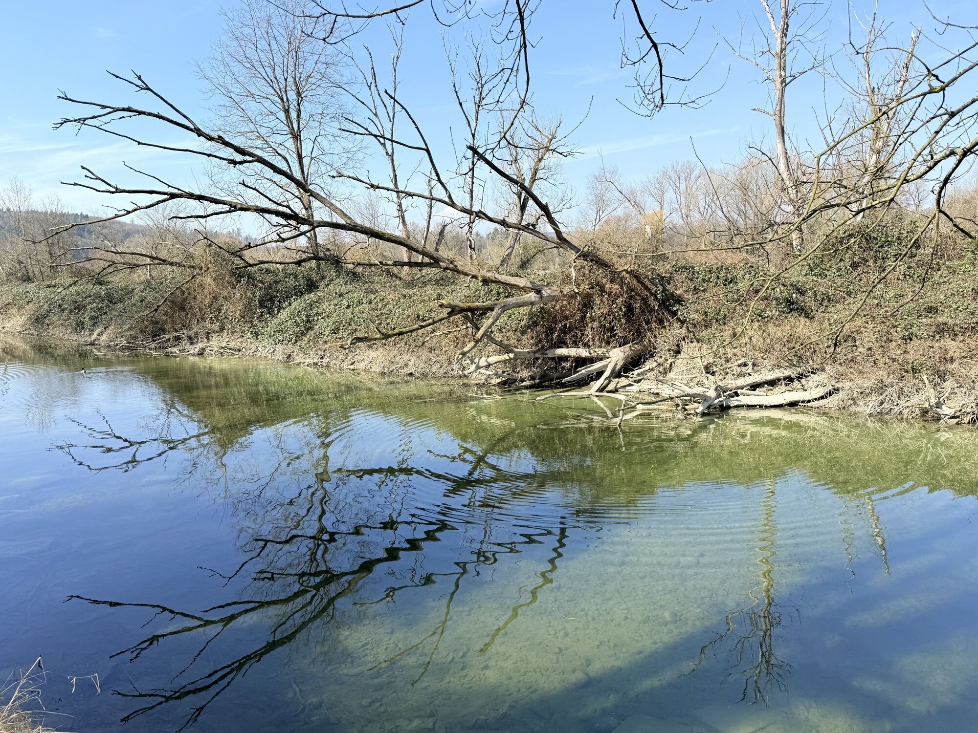
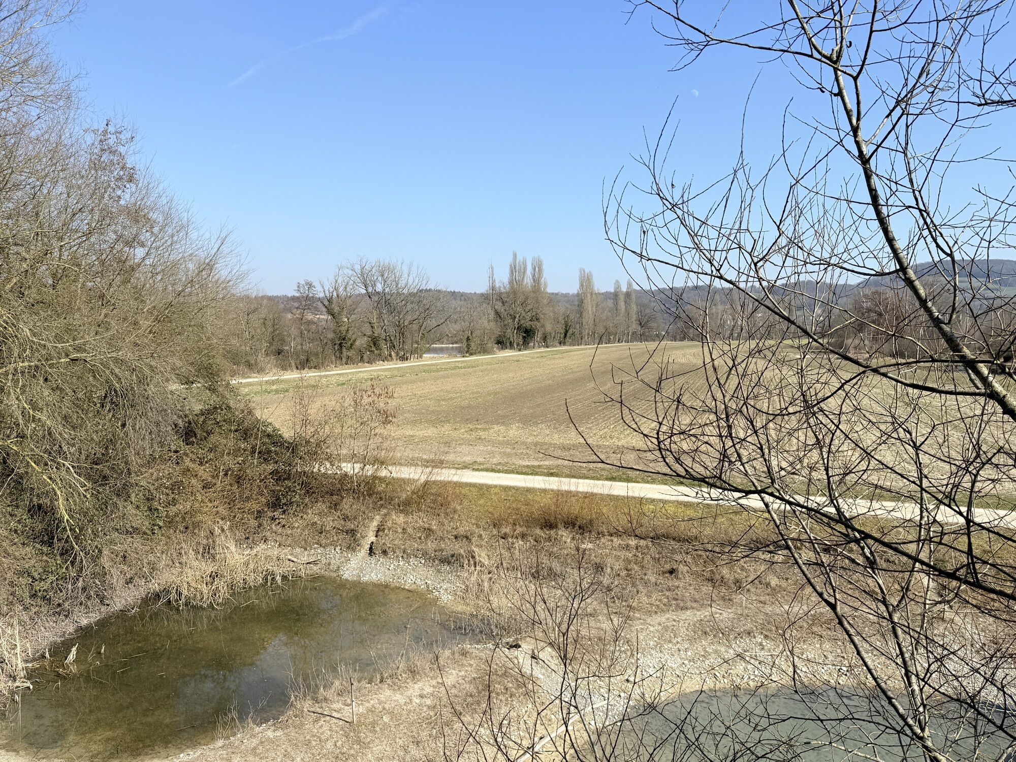
Between Lake Constance and Basel flows the High Rhine, which here largely forms the natural border between Germany and Switzerland. The Aargau section lies between the small town of Kaiserstuhl and the...
Between Lake Constance and Basel flows the High Rhine, which here largely forms the natural border between Germany and Switzerland. The Aargau section lies between the small town of Kaiserstuhl and the former Roman metropolis Augusta Raurica (Kaiseraugst). Here, the river flows unhindered through the landscape over long stretches.
In Kaiserstuhl, it is worth exploring the historic old town. Let yourself be carried away on a fascinating journey through time, made tangible by historic alleys, charming squares, and well-preserved half-timbered houses, the rich heritage of this city.
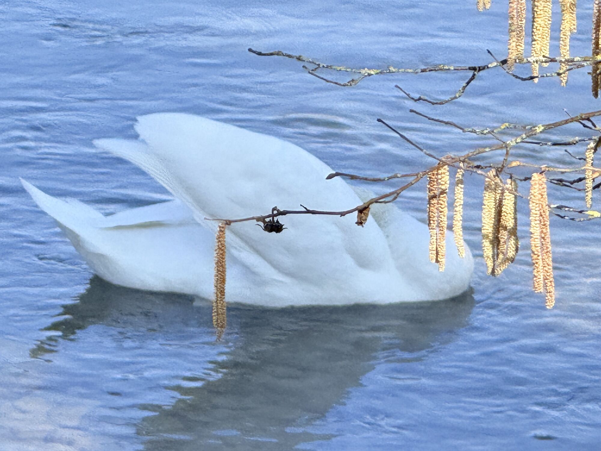
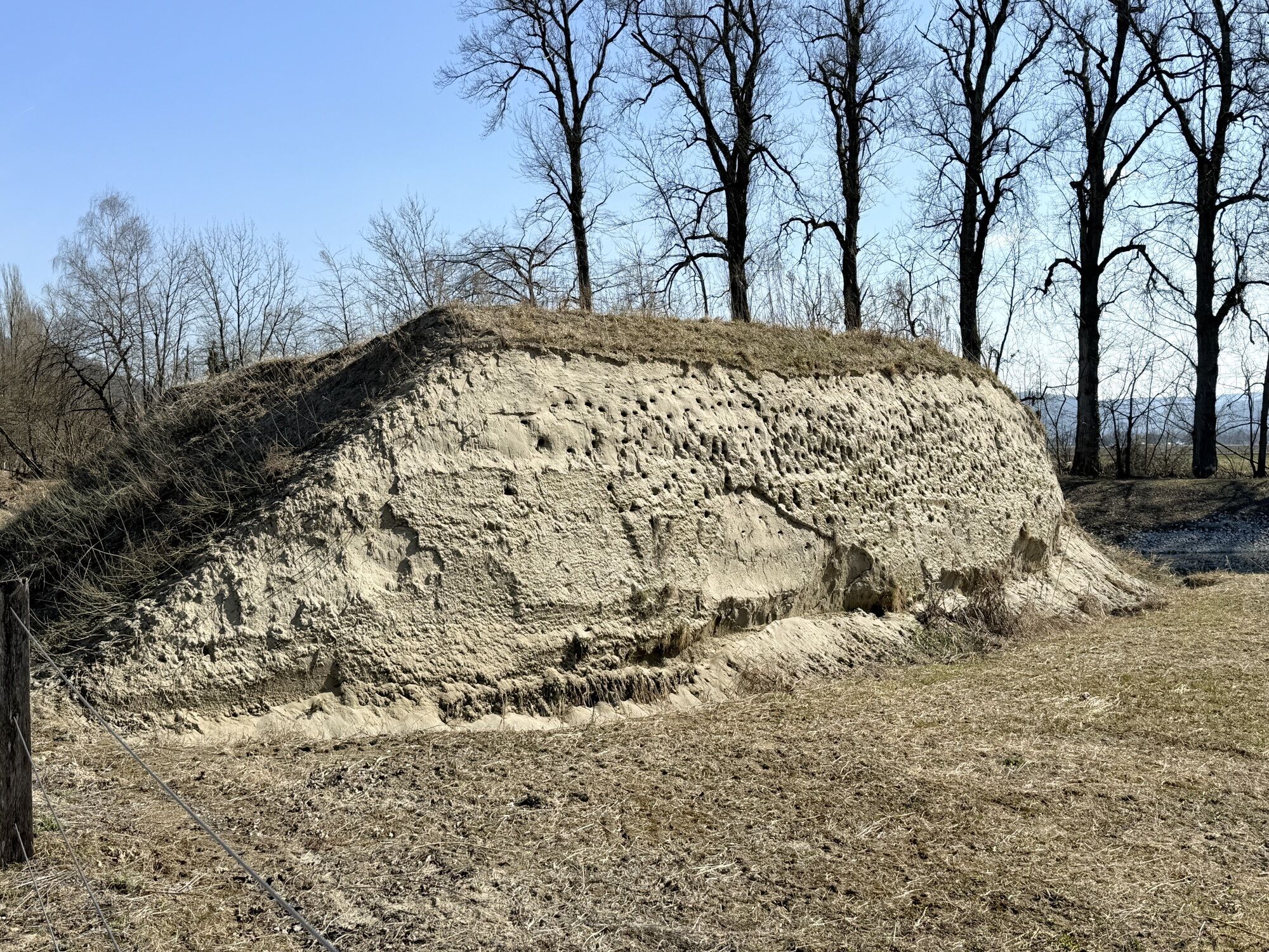
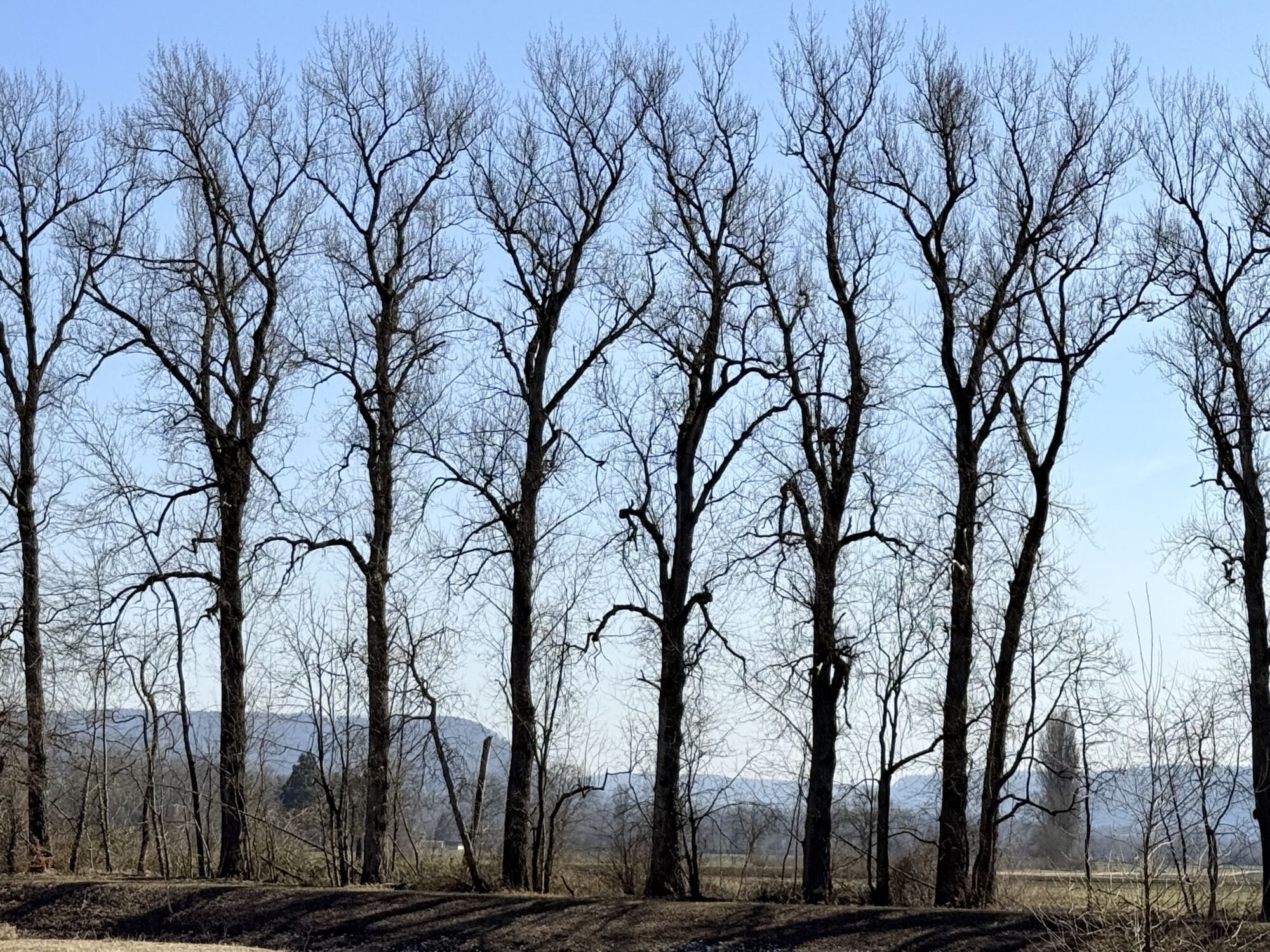
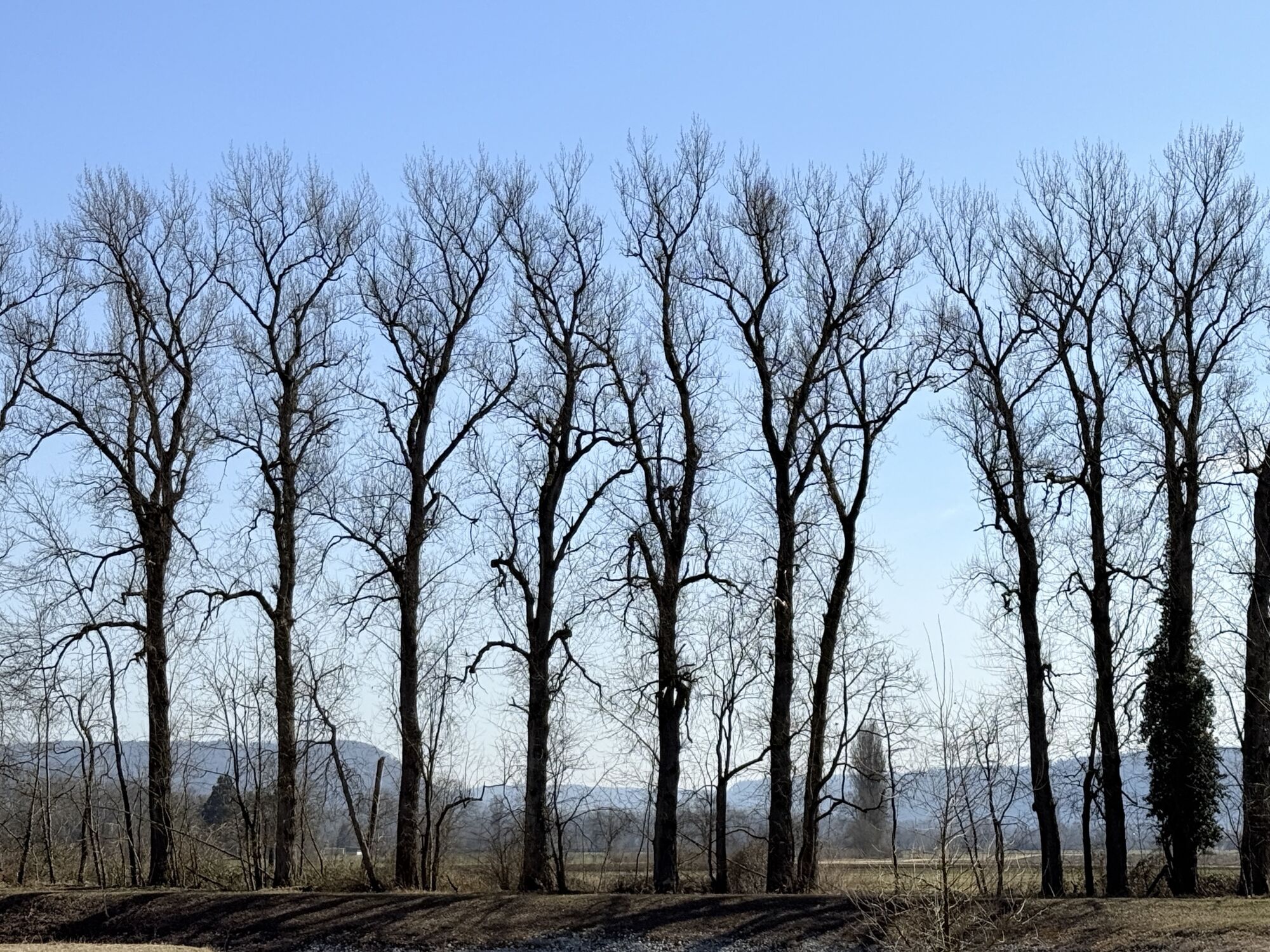
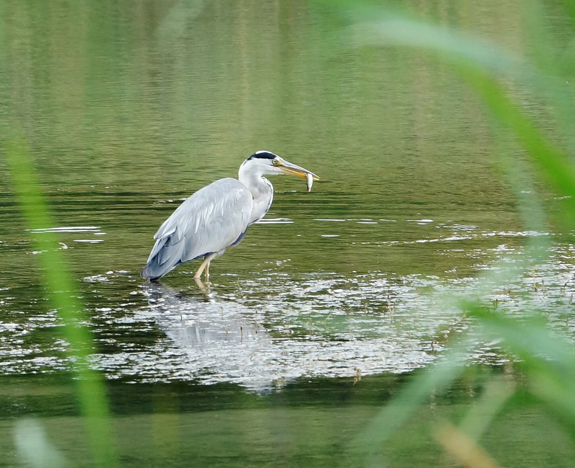
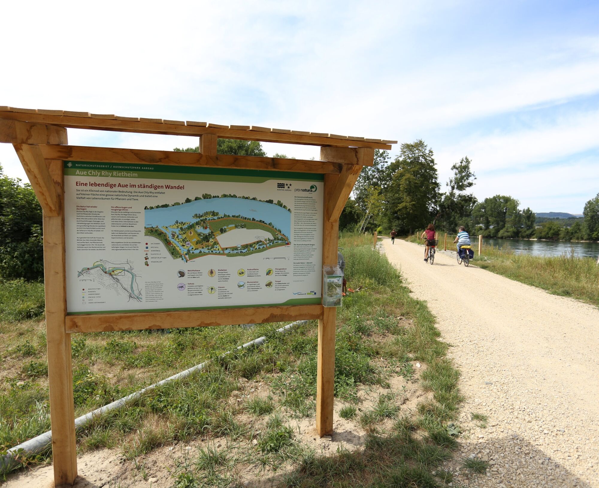
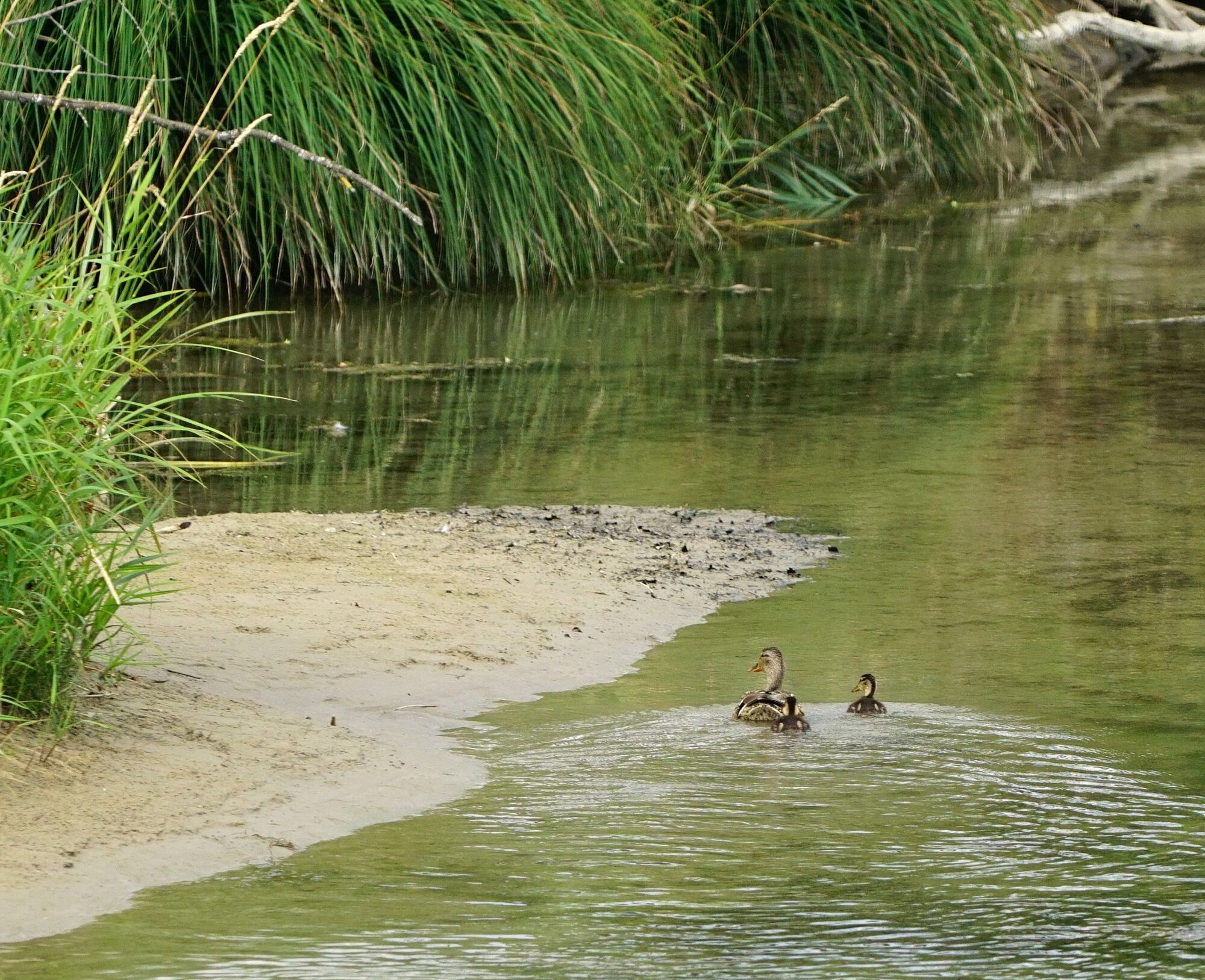
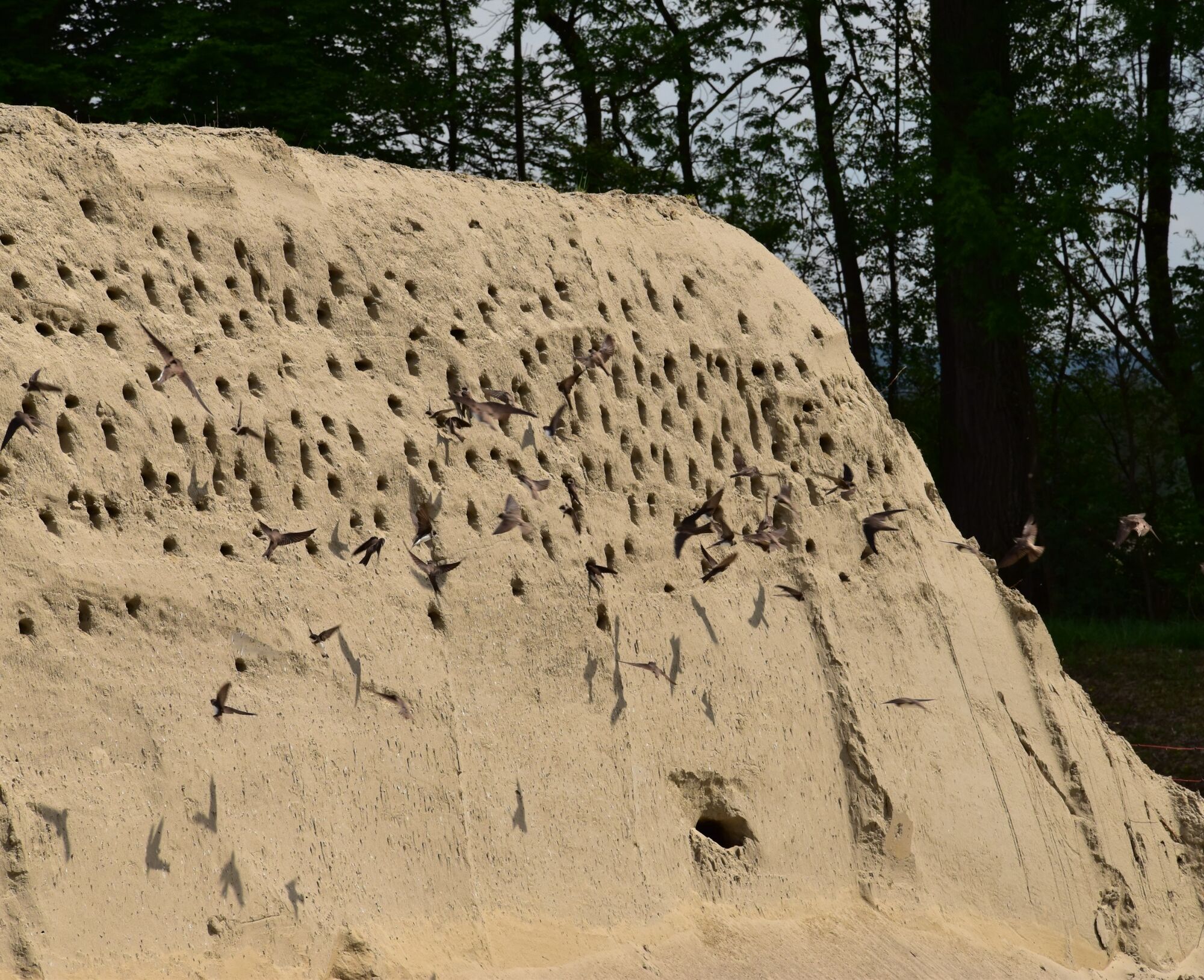
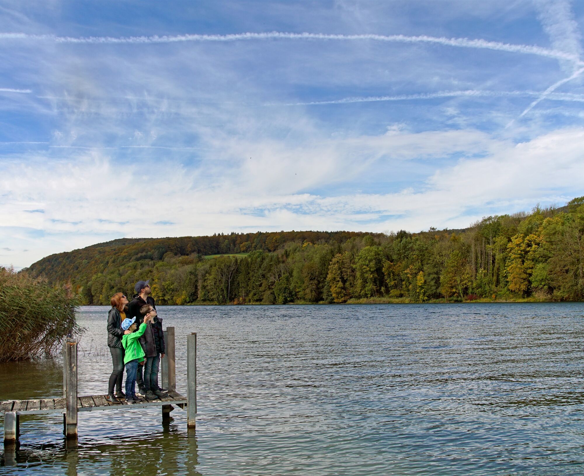
The floodplain protection area "Chly Rhy" offers a great variety of habitats. Viewing platforms provide a clear view of nature away from the walkable paths. Here you can observe, make small and large discoveries, enjoy peace, stroll, research, and barbecue. The best way to access the habitats of the floodplain is on a hike. Many floodplain animals also go hiking: for example, frogs and toads from the hinterland seek spawning sites in sun-warmed ponds, and young beavers raised in the floodplain set out to conquer their own territory.

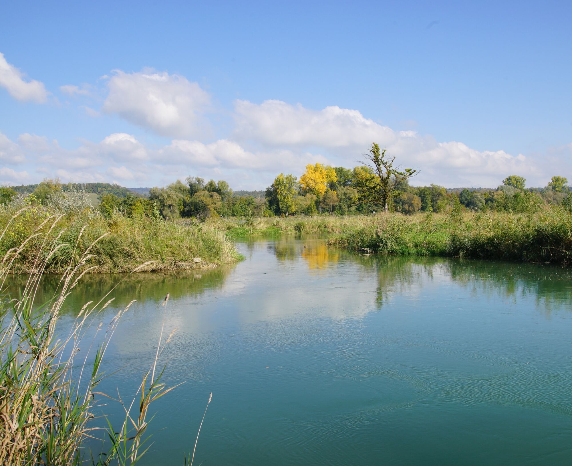
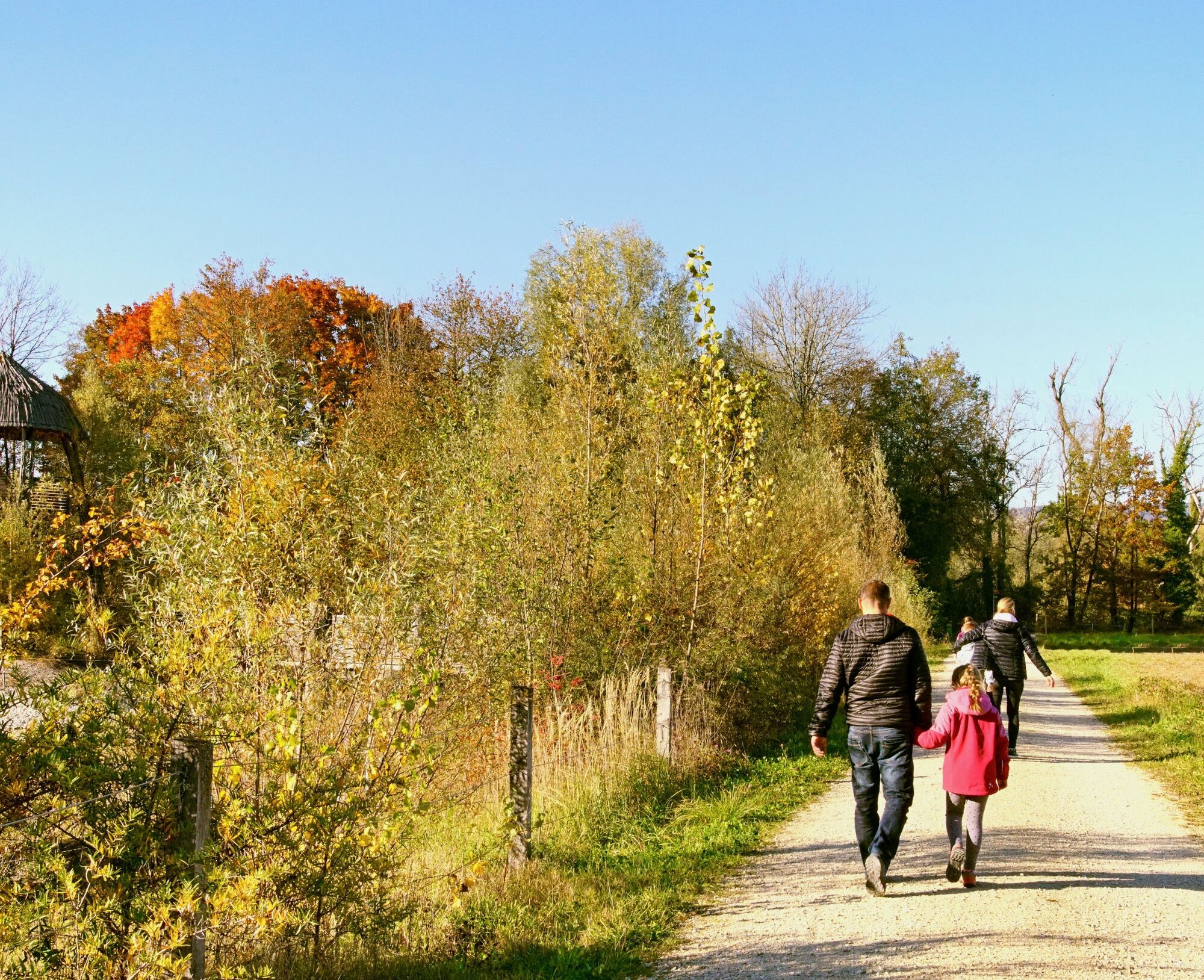
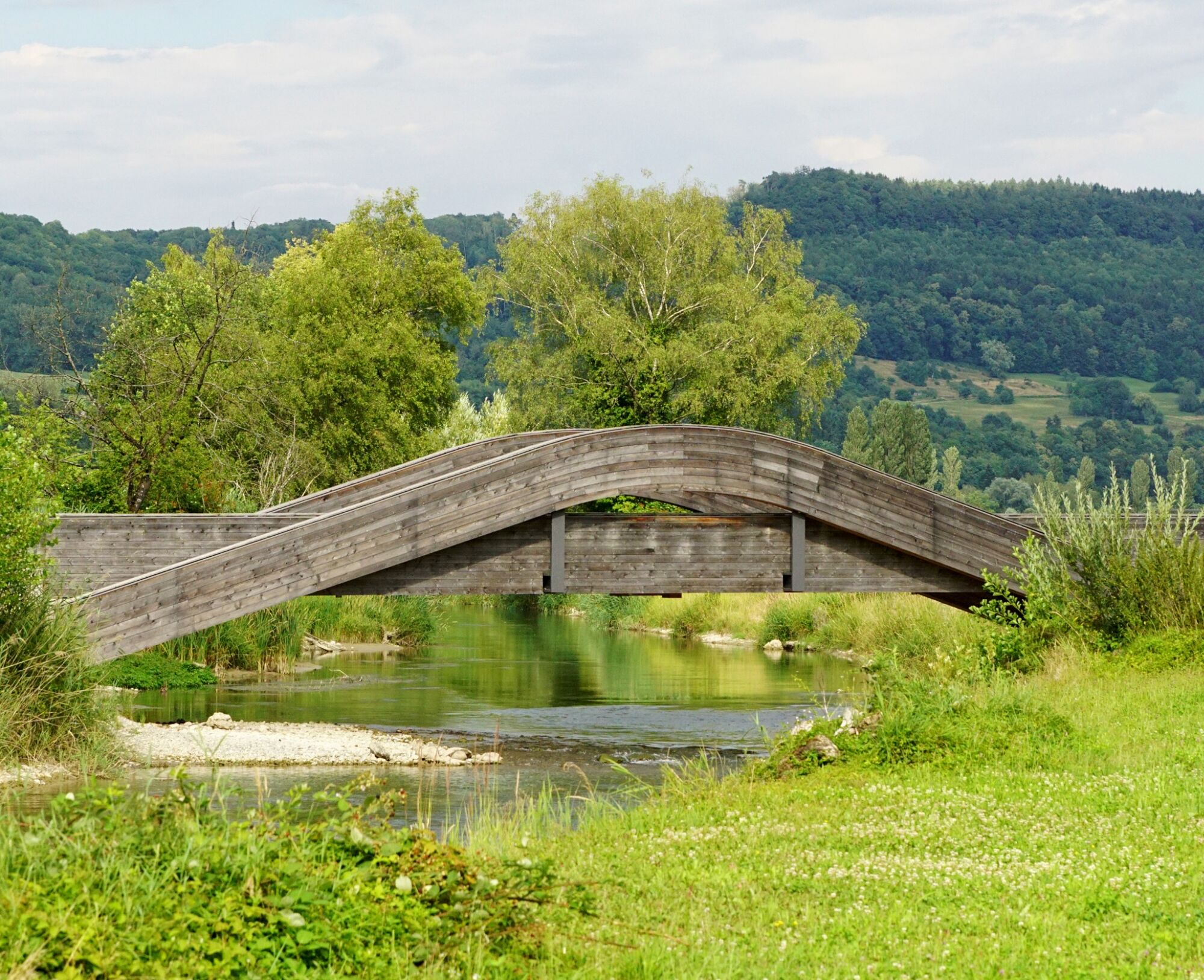
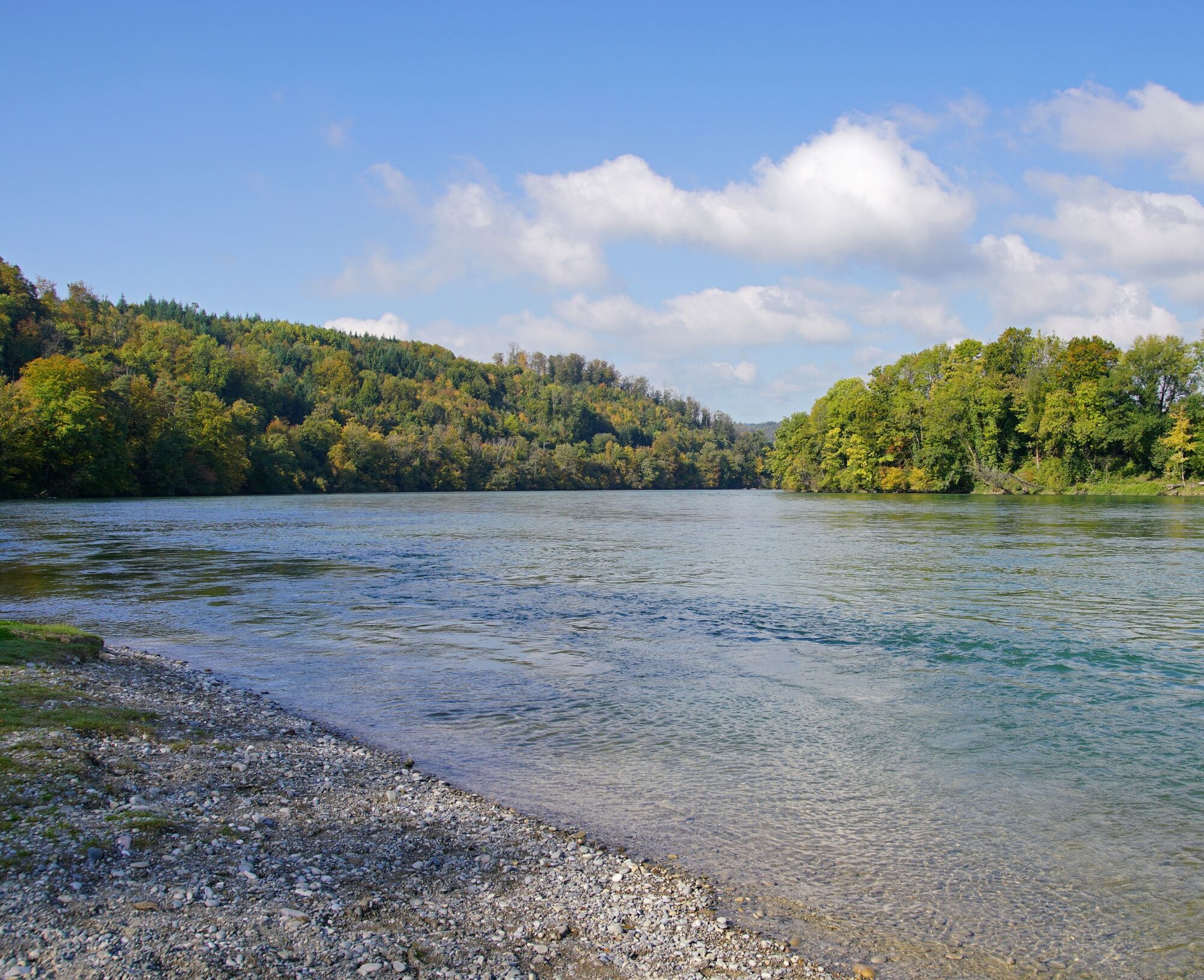
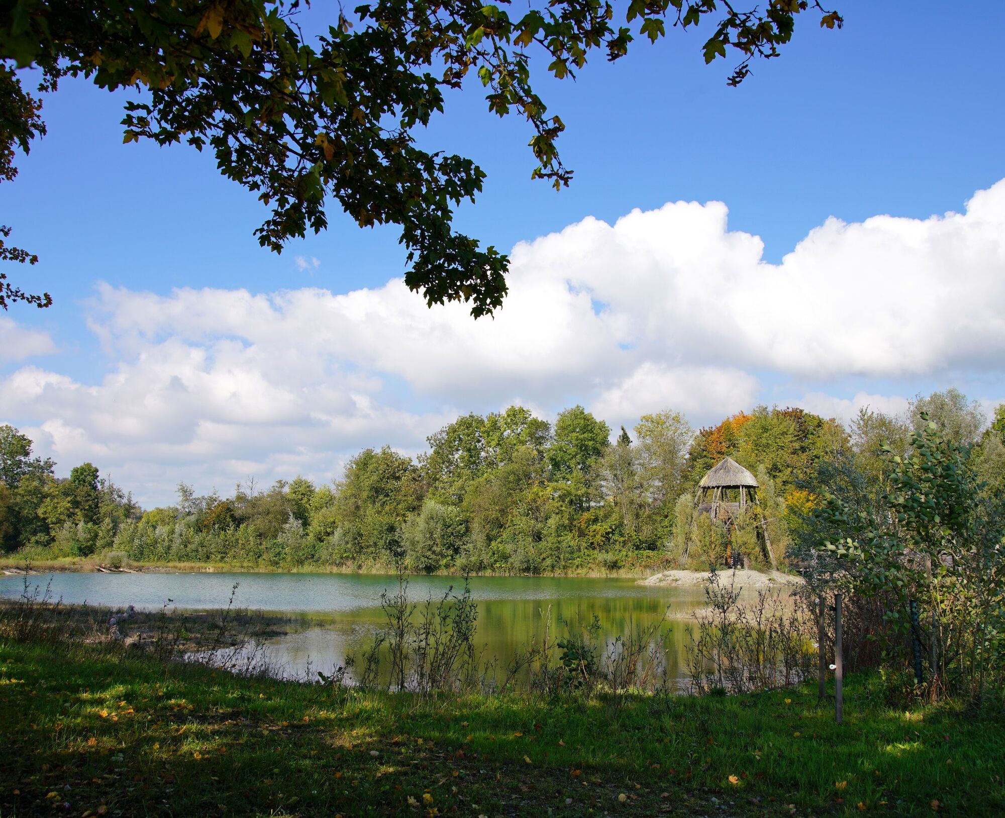
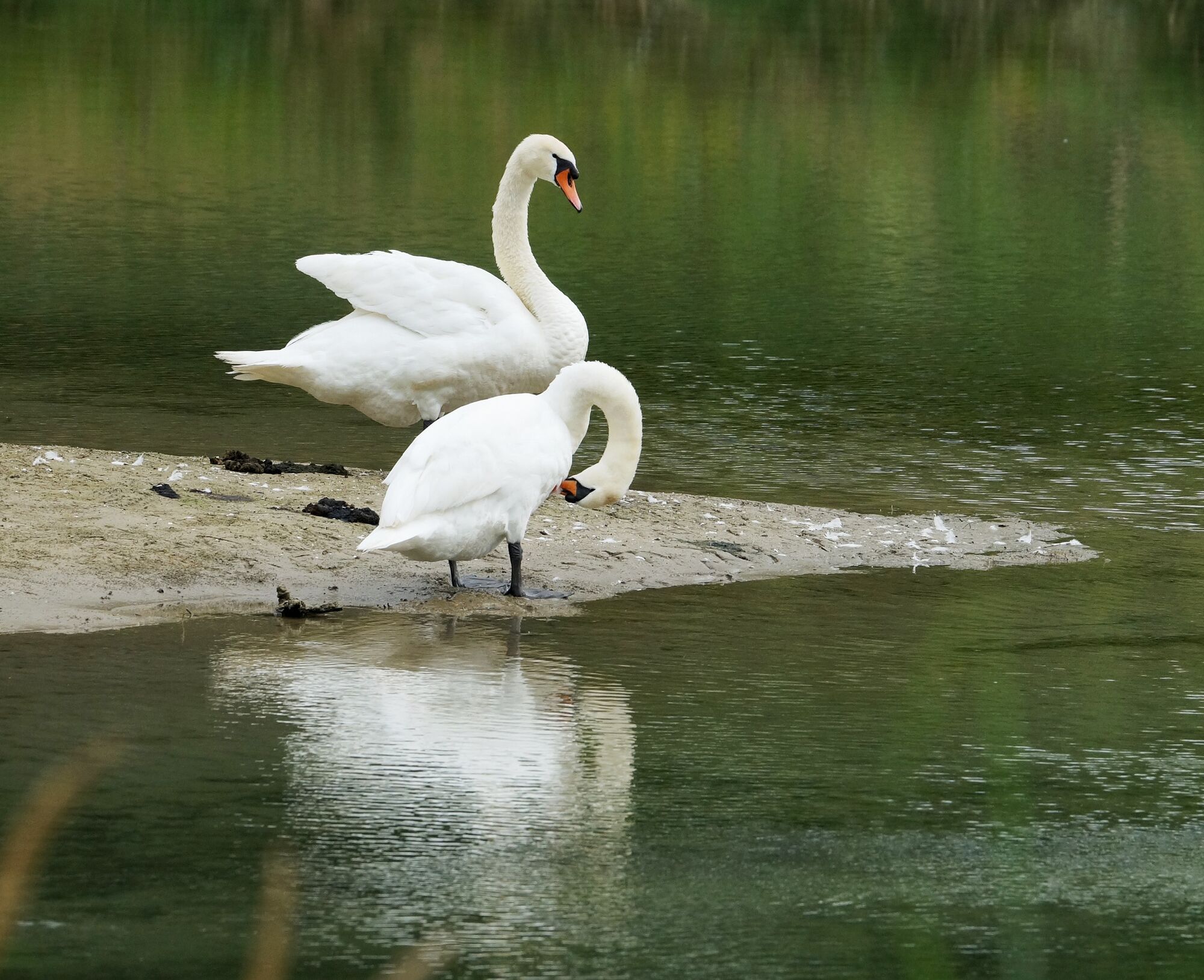
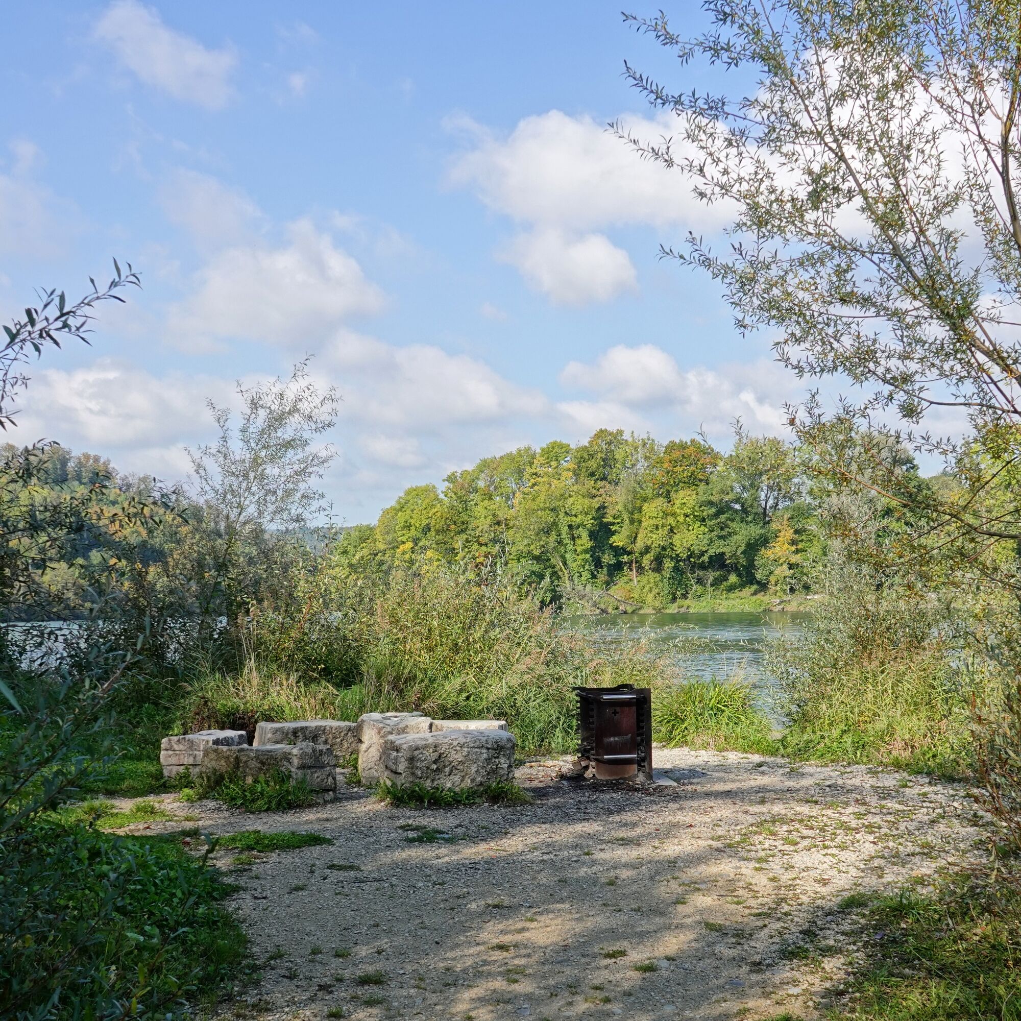
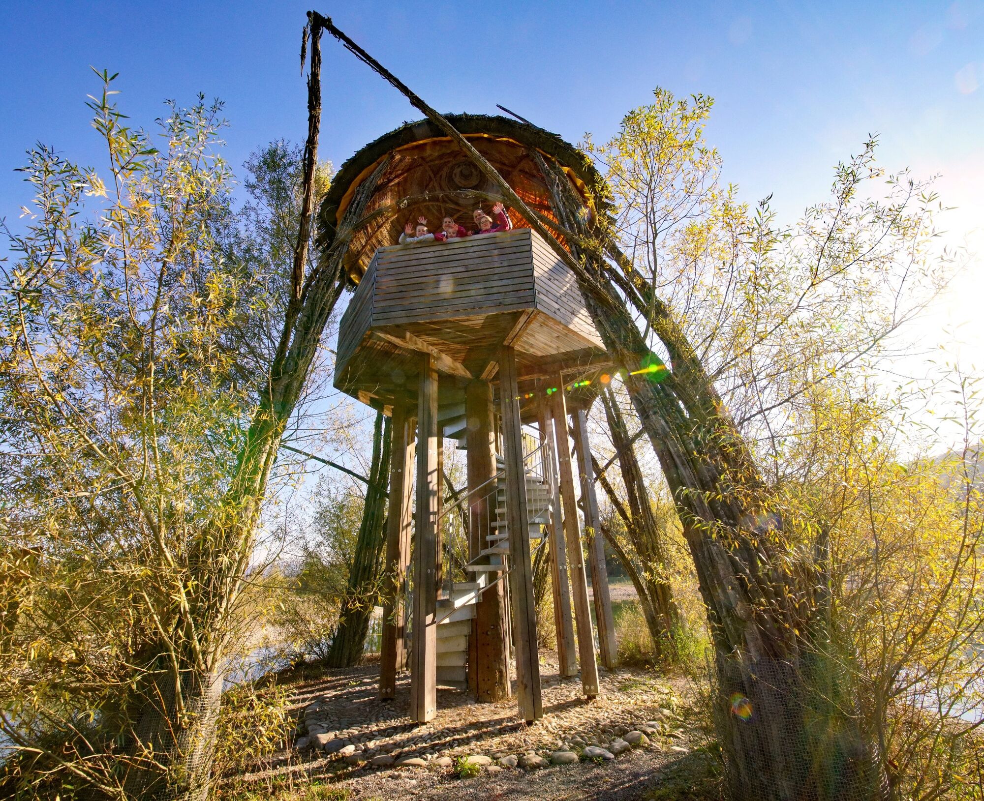
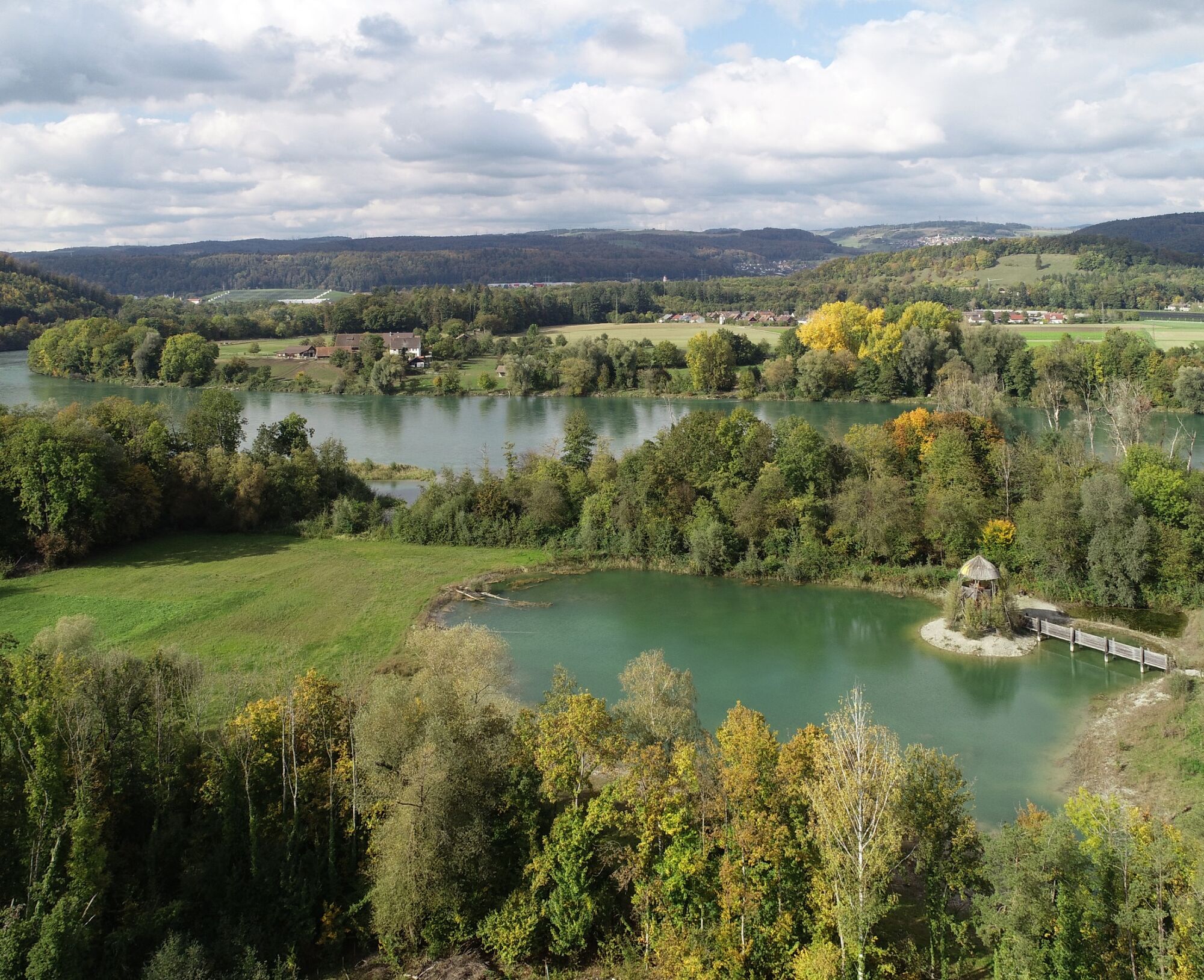
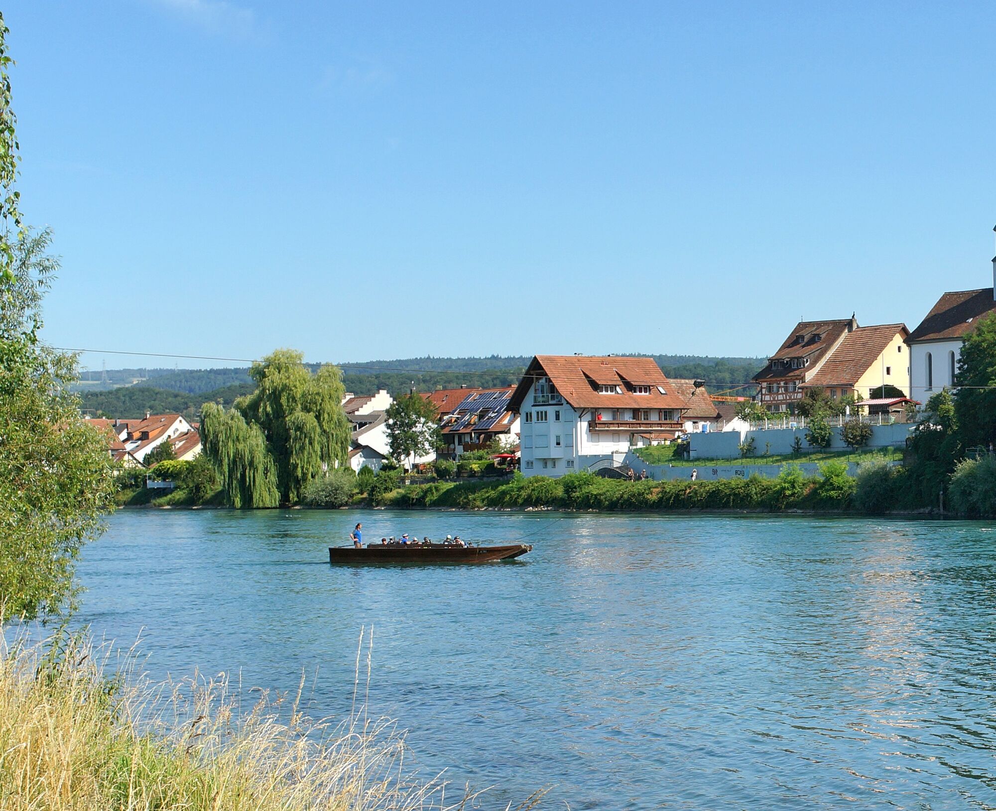
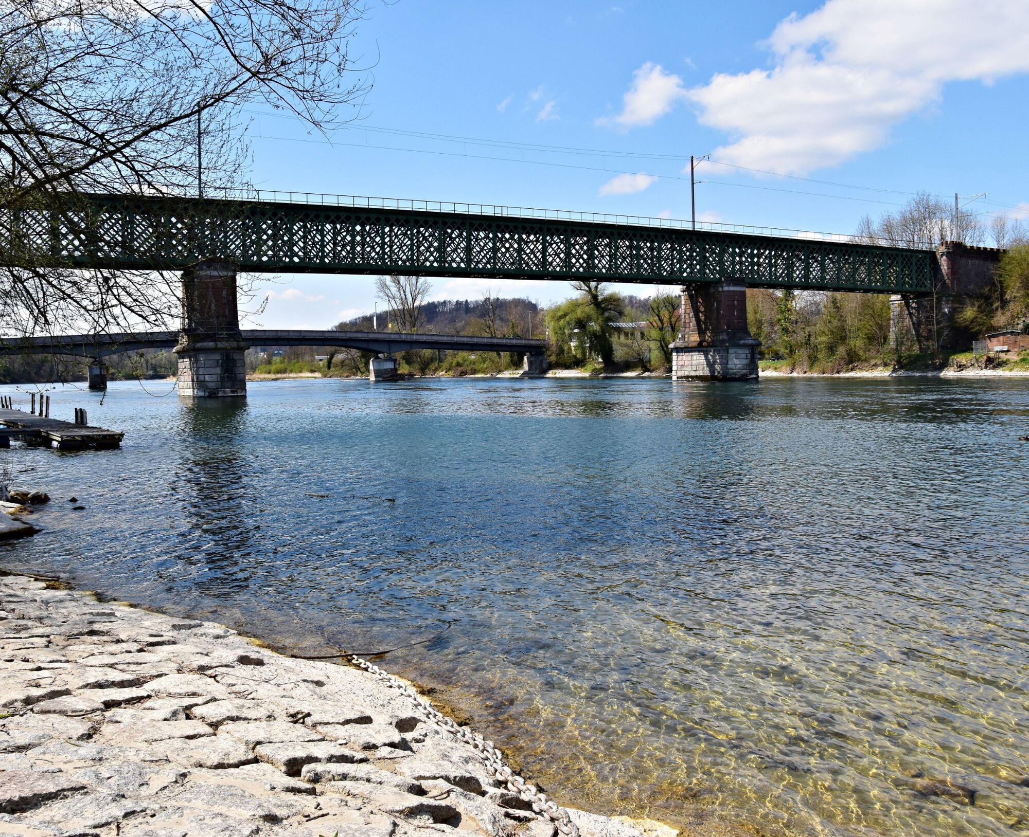
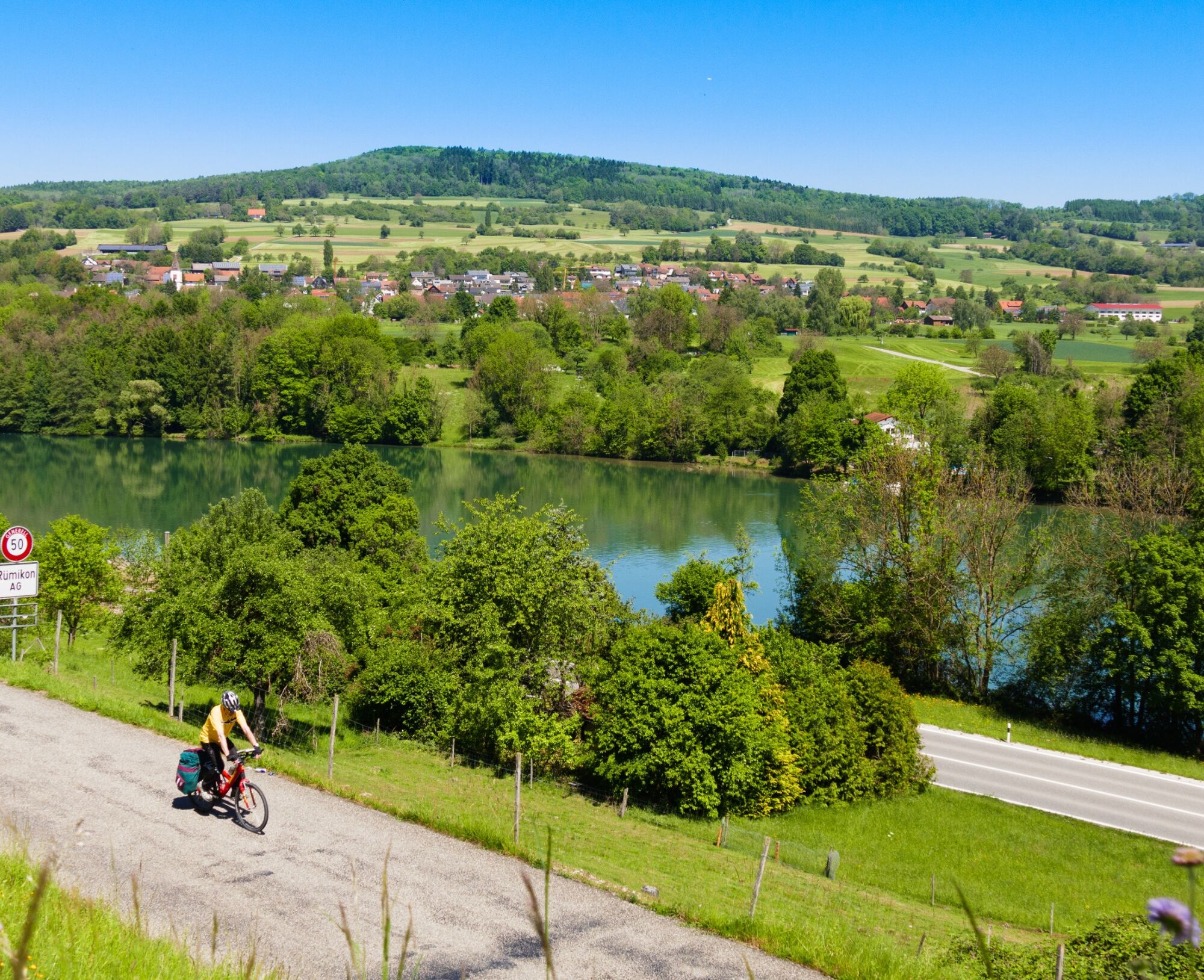
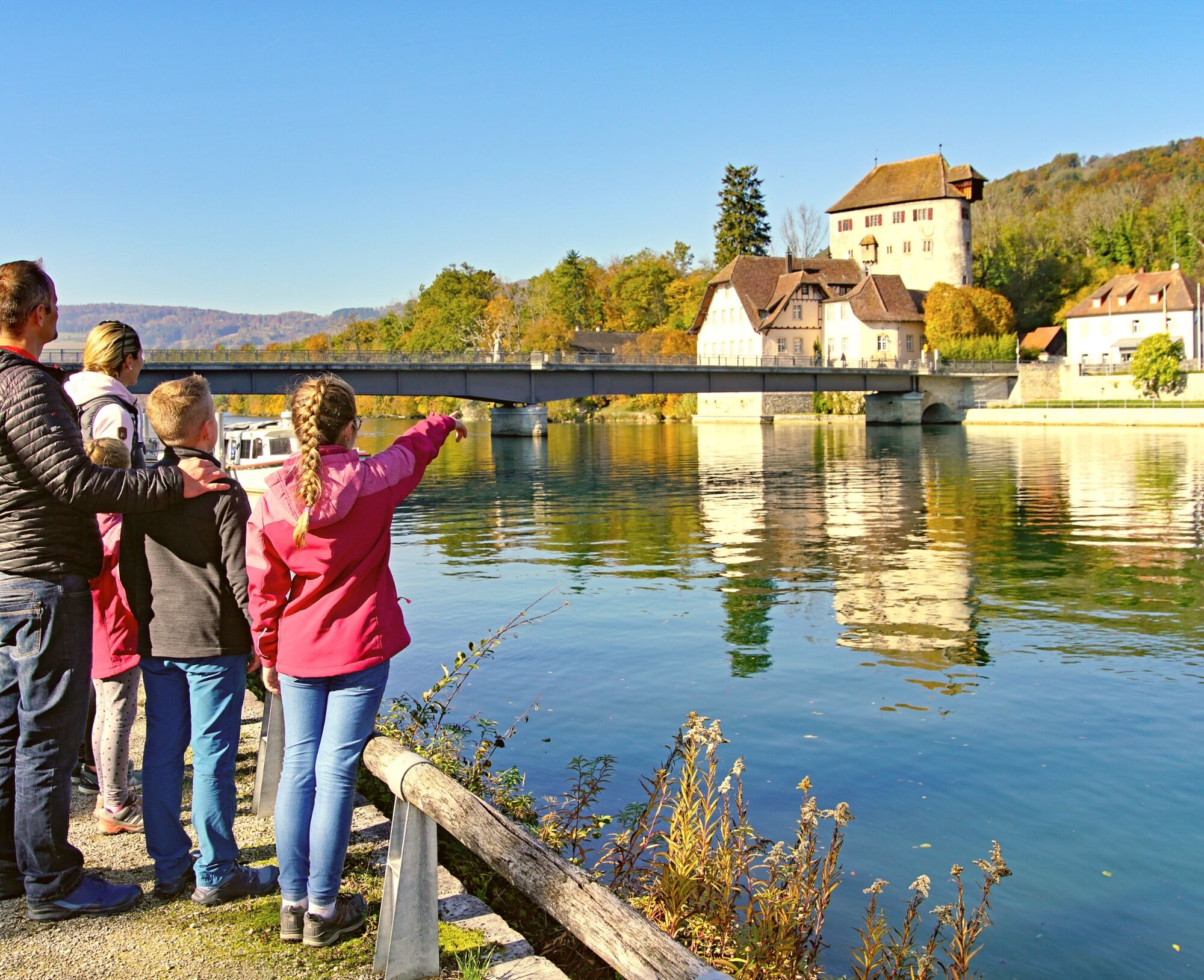
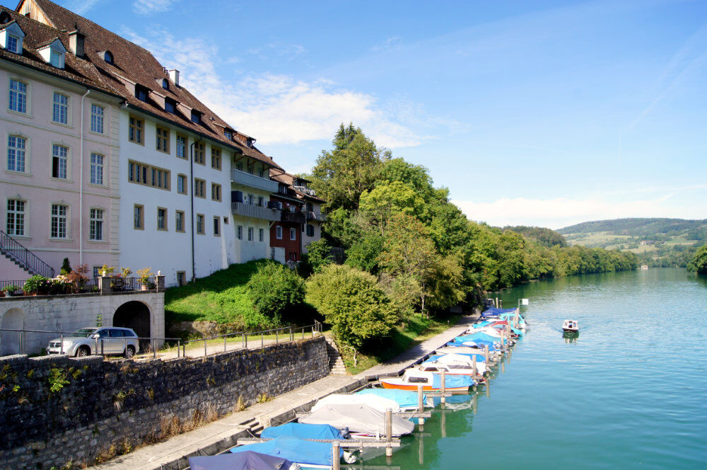

From the train station in Kaiserstuhl, follow the signposts of hiking route 60 "ViaRhenana" towards Bad Zurzach / Rietheim / Koblenz. Along this route, you will walk almost continuously along the bank of the Aargau High Rhine.
With binoculars and an information brochure, you can observe some of the floodplain inhabitants in their daily lives.
By car:
From Baden, it is about 20 minutes; from Zurich or Zurich Airport Kloten, 20 minutes; and from Schaffhausen, 40 minutes to Kaiserstuhl.
From Baden, it is about 25 minutes; from Zurich or Zurich Airport Kloten, 35 minutes; and from Schaffhausen, 40 minutes to Bad Zurzach.
By bus/train:
You can reach Kaiserstuhl by train from Baden or Waldshut. From Koblenz, you can return to Kaiserstuhl by train within 21 minutes.
You can reach Bad Zurzach by bus from Brugg or by train from Baden or Waldshut. From Koblenz, you can return to Bad Zurzach by train within 8 minutes.
In Kaiserstuhl, you have parking options in the paid parking lot at the train station.
In Bad Zurzach, you have parking options in the paid parking lot of the Zurzach Thermal Baths.
Further information about the Chly Rhy floodplain can be found here.
Note: The route can be shortened and you can choose your starting point.
At a stop at the tourism office in Bad Zurzach, you will receive an informative brochure about the Chly Rhy floodplain and learn interesting facts about this unique natural jewel on the Aargau High Rhine.
The path between Rekingen and Koblenz is pram-friendly.


Popularne wycieczki w okolicy
- 3,8
Chänzeli -Tour: Eine Panorama - Stadtwanderung
światłoWędrówka 7,81 km - 4,3
Lägern Rundwanderung
średniWędrówka 13,0 km - 4,0
Ridge hike over the Lägern
ciężkiWędrówka 14,8 km - 5,0
Berau - ruins, rocks & gorges
średniWędrówka 9,68 km - 4,0
Cross-border Rhine riverside path
światłoWędrówka 7,81 km Wolfssteig Höchenschwand
średniWędrówka 22,0 kmAround the Klingnau reservoir
światłoWędrówka 10,7 km- 5,0
Schinznach Bad - Brugg, Schweiz
światłoWędrówka 10,5 km - 4,0
"Falkenstein" circular route
światłoWędrówka 5,66 km - 5,0
Limmat Cultural Route
światłoTrasa tematyczna 8,77 km
Wędrówki i tropienie


Nie przegap ofert i inspiracji na następne wakacje
Twój adres e-mail została dodana do listy mailingowej.


