







SAFFRON EDUCATIONAL PATH MUND

Did you know why Mund saffron is more valuable than gold? And how, according to legend, it was intriguingly smuggled into Mund? The answers to these and many other fascinating questions can be found on...
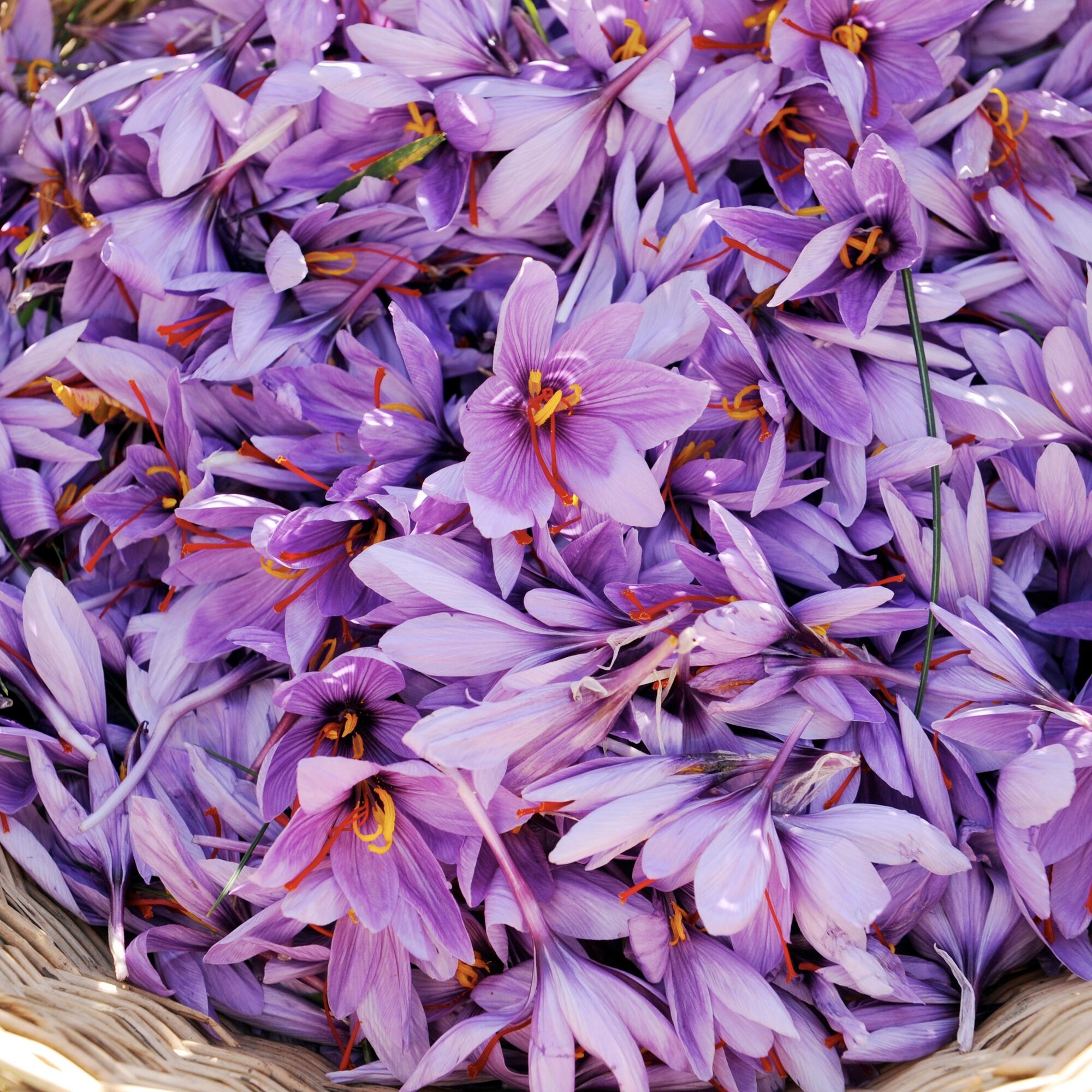
Did you know why Mund saffron is more valuable than gold? And how, according to legend, it was intriguingly smuggled into Mund? The answers to these and many other fascinating questions can be found on the saffron educational path in Mund.
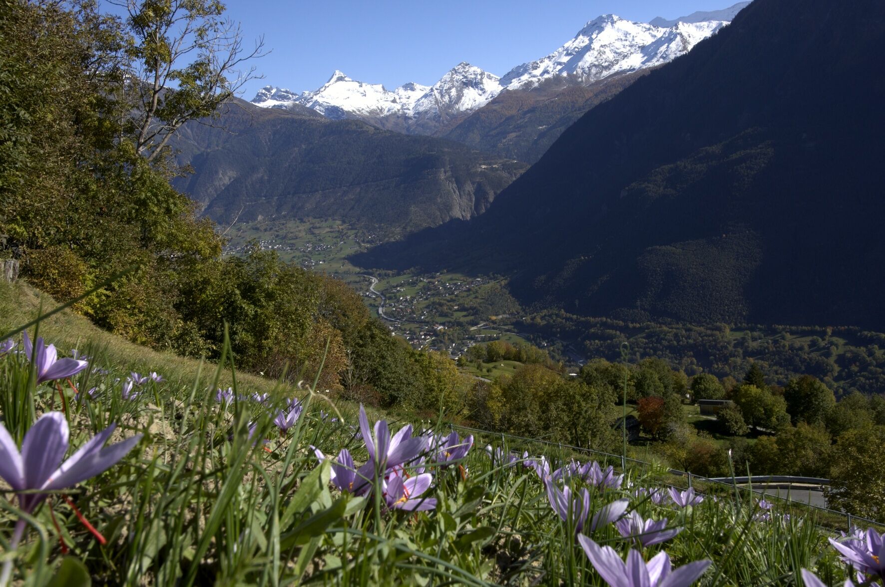
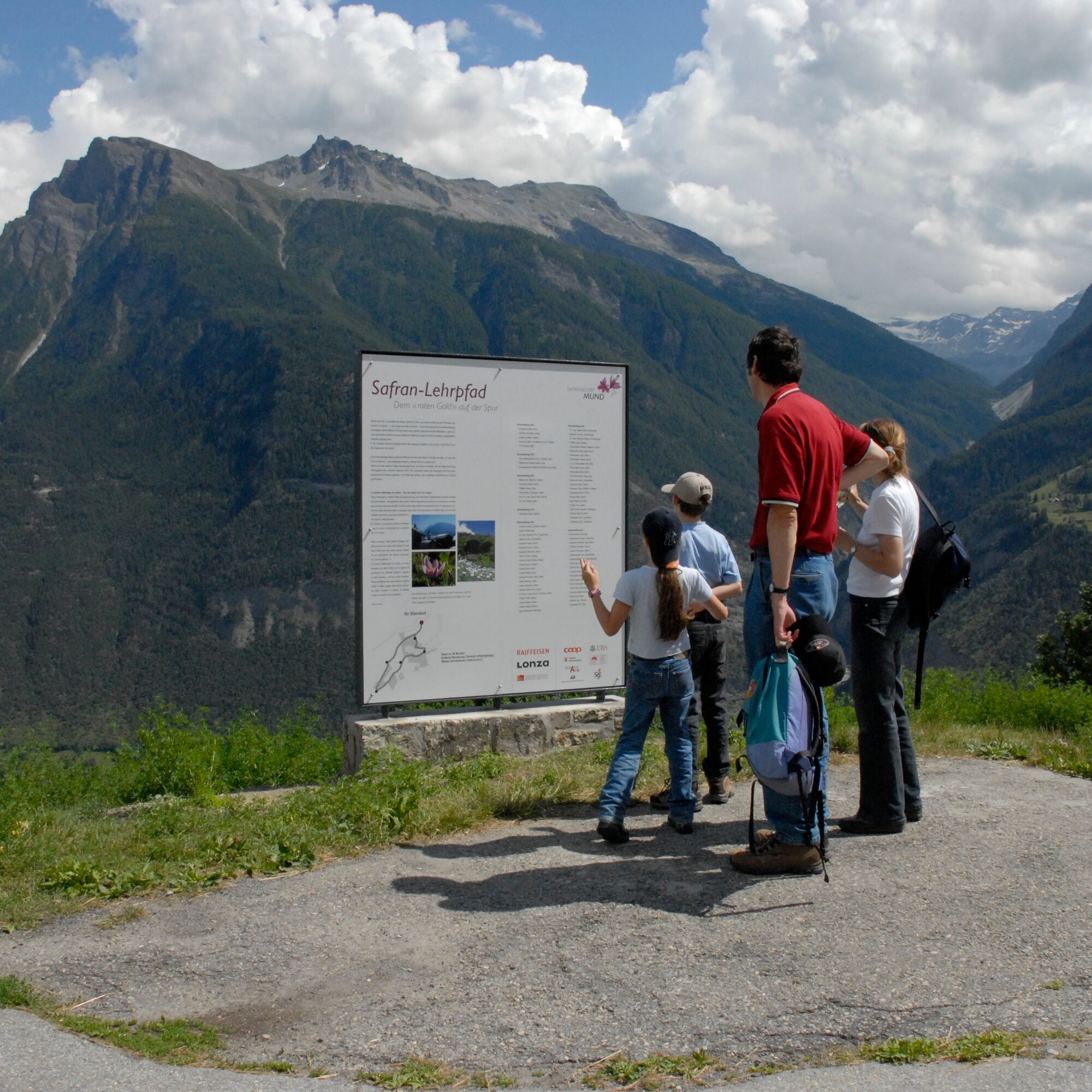
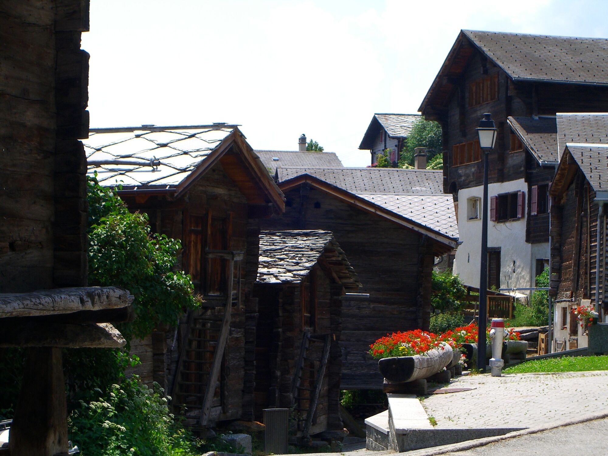
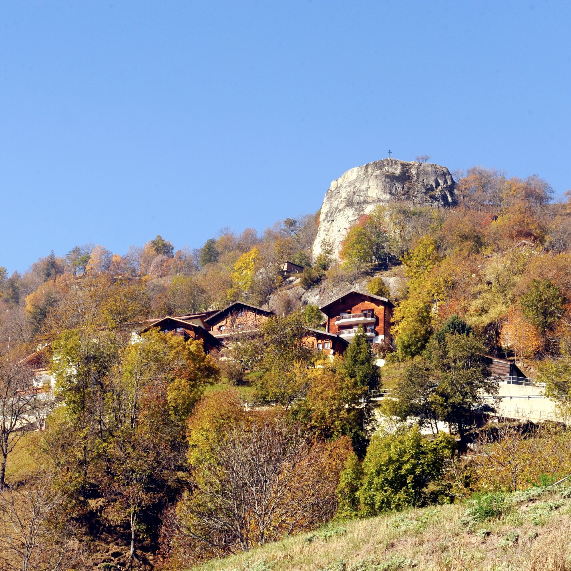
The starting point of the saffron educational path is the village center. From there you reach a peaceful circular route that passes through saffron fields and meadows with an impressive view of the Rhone Valley. Along the hike there are currently six stations with information boards that provide insights in German and French on the Mund saffron culture. Visitors learn, for example, why the culinary miracle saffron may only be picked and processed by hand, or who counts among its worst enemies. Information is given on history, origin, culinary use, cultivation, processing, botany and local tradition. The saffron educational path is an entertaining hiking opportunity in nature. Part of the route is wheelchair accessible!





Mund, bus stop - Saffron educational path - Mund, bus stop
Tak
Tak
Sturdy footwear, weather-appropriate clothing, sun and rain protection, as well as sufficient supplies of food and drinks, are recommended in case there are no restaurants or shops open. Although the path is very well marked throughout, for safety reasons you should always carry a suitable hiking map. Take poles or other aids with you.
Despite the “unmisleading” markings on the hiking trails, for safety reasons we always recommend carrying a suitable hiking map so that in the event of a thunderstorm or emergency you can quickly reach a safe area.
Especially in autumn, be aware that fallen leaves on the ground can cover uneven spots, roots, stones or holes in the path. After storms, trees can still fall or branches can drop. Especially in adverse weather conditions, natural trails can have muddy and slippery sections. You should expect such trail impairments when hiking.
Not all rocks or cliffs are secured with ropes or railings. Some sure-footedness is required. If you find certain trail sections impassable for you, you should bypass them.
Arrival by car
From Western Switzerland: A9 Lausanne - Vevey, or Northwestern Switzerland: A12 Bern - Vevey: A9 - Sierre: main road Sierre - Brig
From Northwestern Switzerland: A6 Bern - Thun - Spiez: main road Spiez - Kandersteg (car shuttle Lötschberg tunnel) - Goppenstein - Gampel - Brig
From Eastern and Central Switzerland: Andermatt - Realp (year-round car shuttle Furka; in summer over Furka Pass) - Oberwald - Brig
From Ticino (in summer): Airolo - Nufenen Pass - Ulrichen – Brig
Or via Centovalli – Domodossola – Simplon Pass – Brig
From Italy (Aosta, Mont Blanc Tunnel): Aosta - Grand Saint Bernard tunnel (in summer over the pass) - Martigny: highway A9 - Sierre: main road Sierre – Brig
Or via Domodossola – Simplon Pass – Brig
Birgisch / Mund
From Brig you reach Birgisch and Mund via Naters.
Take the post bus to Mund village and start your route there.
The timetable and further information on arrival can be found at: www.belalp.ch
Parking spaces are available next to the church and the bus stop in Mund.
For questions contact:
Belalp Bahnen AG
Blatten - Belalp Tourismus AG
If you want to learn more about saffron, contact Blatten-Belalp Tourism for a guided tour.

Popularne wycieczki w okolicy
- 4,9
Moosalp Panoramaweg
światłoWędrówka 6,36 km - 5,0
BELALP - SPARRHORN
ciężkiWędrówka 11,2 km - 4,9
SUSPENSION BRIDGE RIEDERALP - BELALP
średniWędrówka 11,5 km - 4,6
Gspon high-altitude route
średniWędrówka 13,9 km CIRCULAR HIKE MASSEGGA SUSPENSION BRIDGE
światłoWędrówka 6,44 km- 4,0
Höhenwanderung Rosswald
światłoWędrówka 6 km - 5,0
Panoramaweg Visperterminen
światłoWędrówka 9,72 km - 5,0
VIA FERRATA "ALETSCH"
średniVia ferrata 3,40 km SUONEN CIRCULAR HIKE GREDETSCHTAL
średniWędrówka 7,45 km- 4,0
FOGGENHORN ROUND HIKE
średniWędrówka 13,1 km
Wędrówki i tropienie


Nie przegap ofert i inspiracji na następne wakacje
Twój adres e-mail została dodana do listy mailingowej.





