







Passo Pordoi Ossuary - Family walk
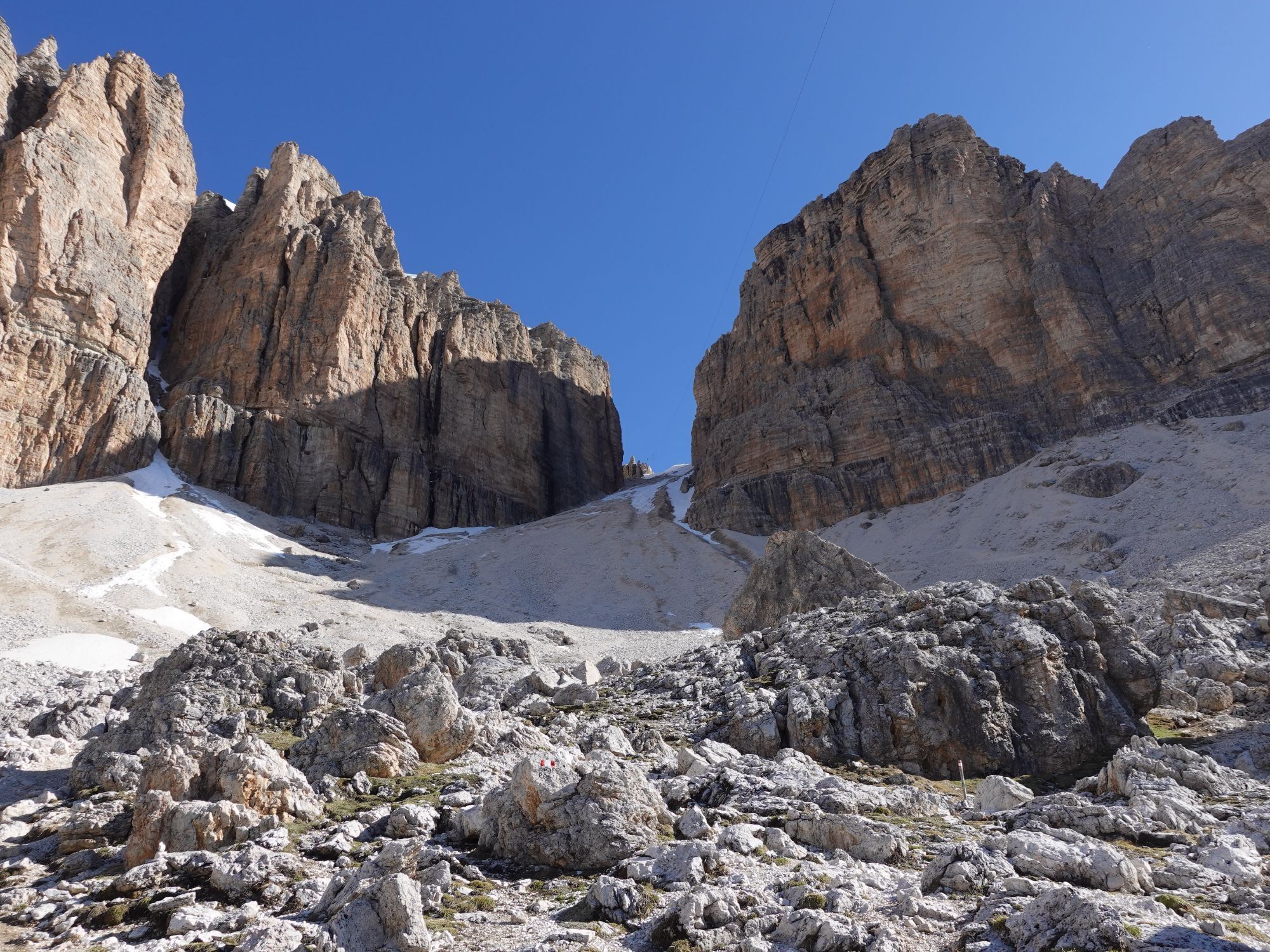
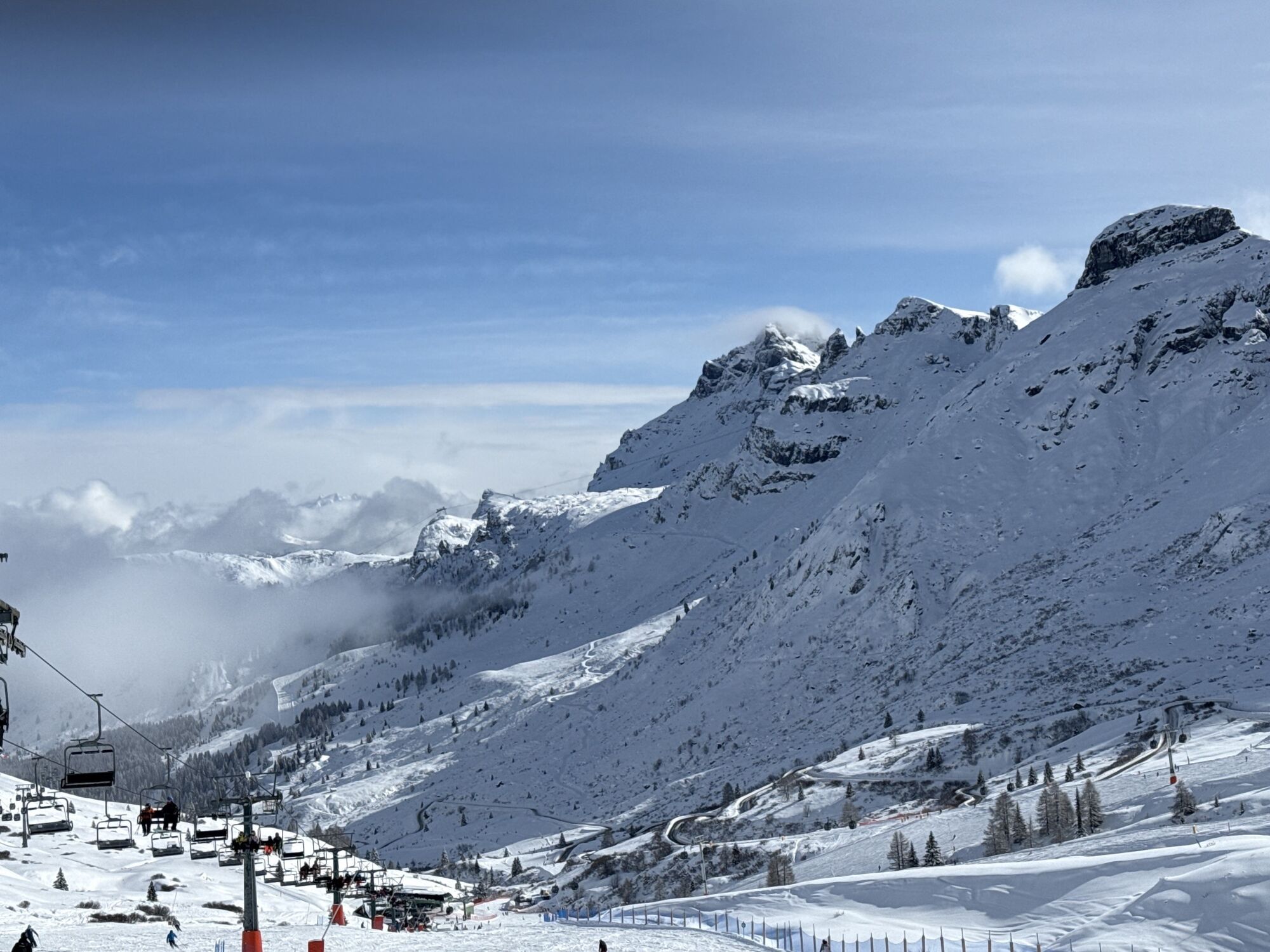
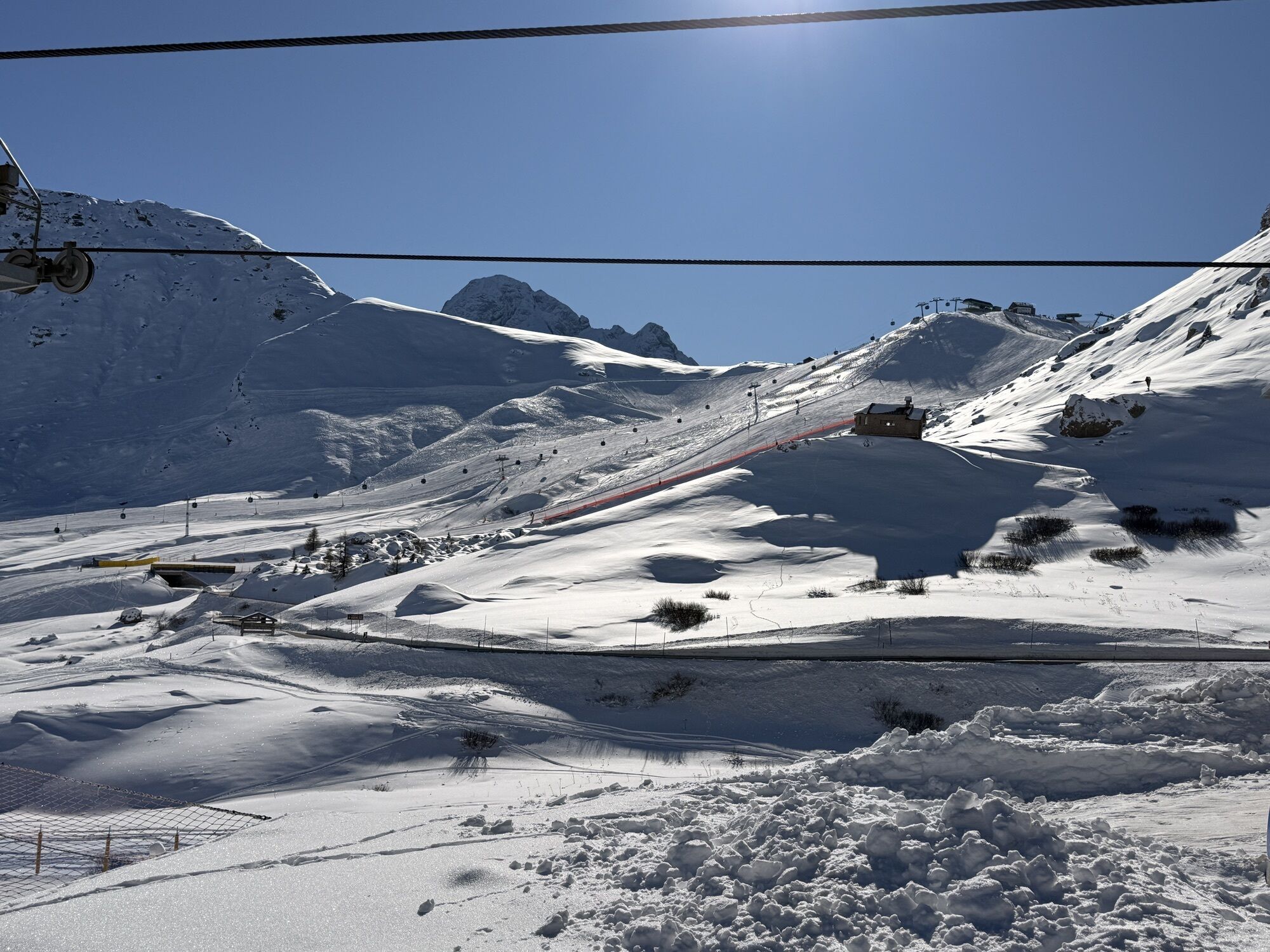
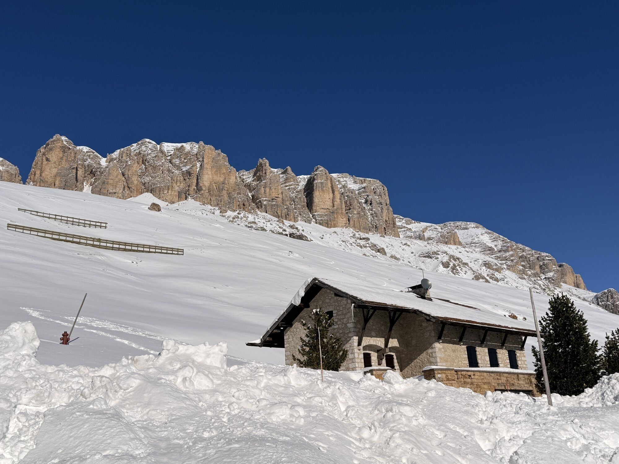

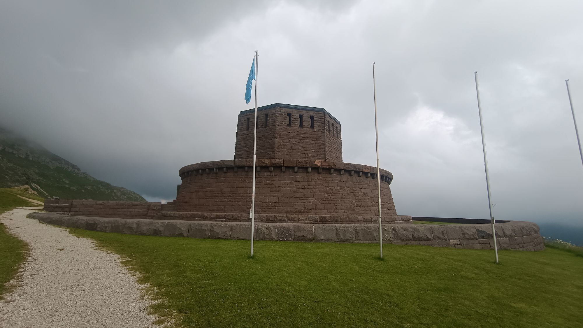
A very easy route that offers a spectacular view and allows you to have fun with the family in complete safety.
You walk gently downhill along the road that leads from Passo Pordoi to the German Ossuary....
A very easy route that offers a spectacular view and allows you to have fun with the family in complete safety.
You walk gently downhill along the road that leads from Passo Pordoi to the German Ossuary. An ideal place to stop and admire, as well as contemplate, the splendid panorama of the surrounding valley.
The Ossuary is located at an altitude of 2,239 m and the monumental complex includes an octagonal tower with a large circular two-story base.
In the central crypt are the remains of 454 German fallen soldiers and 8,128 Austro-Hungarian fallen soldiers from various War cemeteries.
In the outer layers are buried the remains of 842 German Wehrmacht fallen soldiers of the Second World War, from the cemeteries located in the Belluno area.

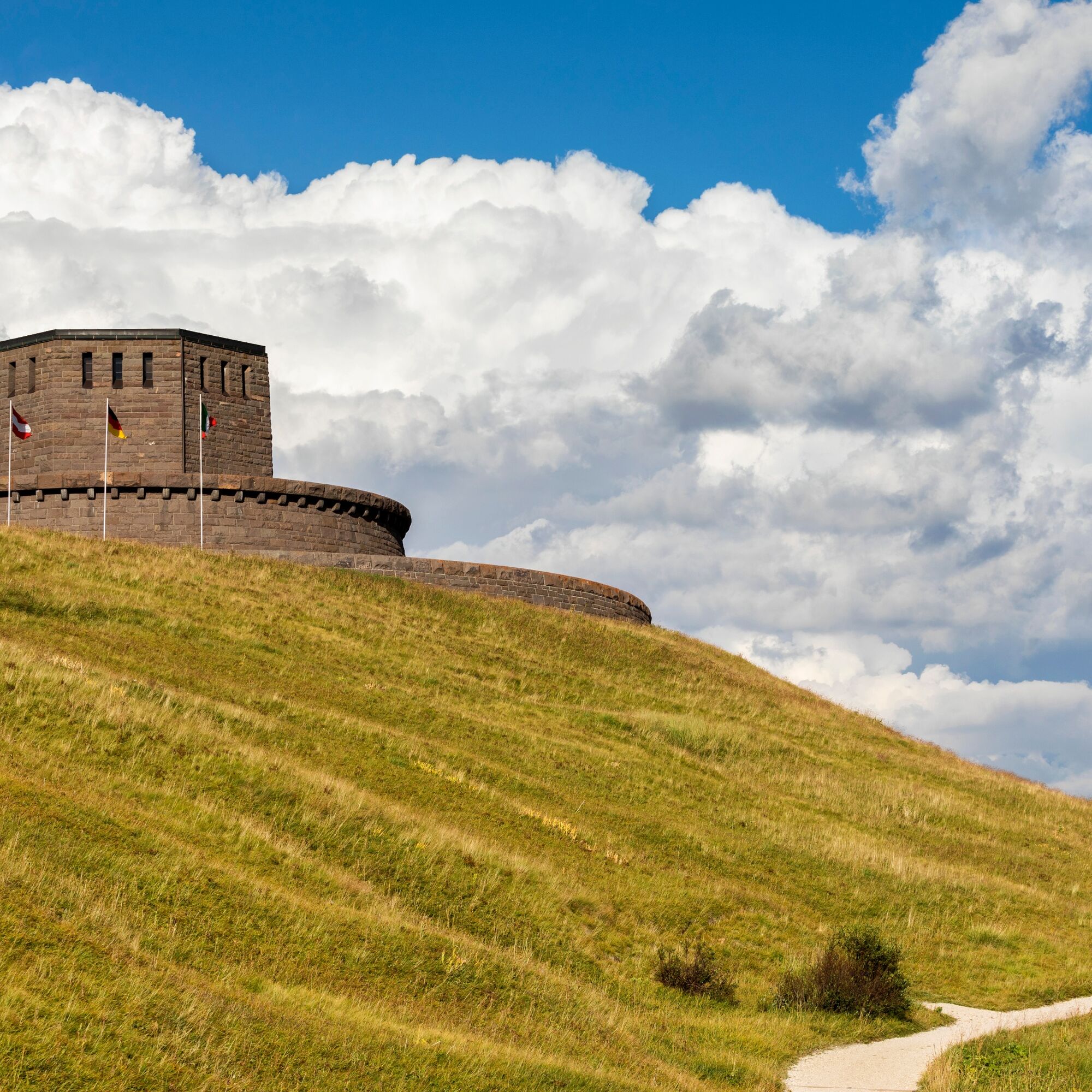

From the top of Passo Pordoi, head towards the clearly visible Ossuary
Tak
Tak
Tak
Always let someone know where you are going and the approximate duration of the hike.
The emergency phone number is 112 or 118 (ambulance).
By car
From Innsbruck, take the Brenner Motorway A22 to the Bressanone exit, then continue through the Val Pusteria, Val Badia, Passo Campolongo, and Passo Pordoi. From Verona/Milan, take the Brenner Motorway A22 to the Egna Ora exit, then continue through the Val di Fiemme, Val di Fassa, and Passo Pordoi. From Venice, take the A27 Motorway, Belluno exit, then follow the Agordina 203 to Agordo, Caprile, Arabba, and Passo Pordoi.By train
Nearest train stations:
Belluno - 70 km Brunico - 48 km Ponte Gardena - 51 kmBy bus
Brunico - 47 km connection via SAD line www.sad.it Belluno – 70 km connection via Dolomitibus line www.dolomitibus.itBy plane
Venice Treviso/Venice Marco Polo – 160/170 km Innsbruck - 140 km Verona – 270 km Milan Bergamo/Milan Malpensa - 310/400 kmArabba is connected to Passo Pordoi by bus service.
For information on ticket prices and the number of lines, please consult the following link
Large clearings and parking areas at the top of Passo Pordoi.
Kamery internetowe z trasy
Col dei Rossi
Arabba - Bec de Roces
Arabba - Porta Vescovo
Pordoi - Pass
Canazei - Col dei Rossi
Canazei - Col dei Rossi
Canazei - Col dei Rossi
Canazei - Col dei Rossi
Canazei - Col dei Rossi
Canazei - Col dei Rossi
Canazei - Col dei Rossi
Canazei - Col dei Rossi
Boé
Pordoi - Pass
Canazei - Col dei Rossi
Canazei - Col dei Rossi
Canazei - Col dei Rossi
Canazei - Col dei Rossi
Canazei - Col dei Rossi
Sass Pordoi - Altopiano del Boe
Sass Pordoi - Altopiano del Boe
Sass Pordoi - Altopiano del Boe
Sass Pordoi - Altopiano del Boe
Sass Pordoi - Altopiano del Boe
Sass Pordoi - Altopiano del Boe
Sass Pordoi - Altopiano del Boe
Sass Pordoi - Altopiano del Boe
Sass Pordoi - Altopiano del Boe
Sass Pordoi - Altopiano del Boe
Sass Pordoi - Altopiano del Boe
Sass Pordoi - Altopiano del Boe
Sass Pordoi - Altopiano del Boe
Sass Pordoi - Altopiano del Boe
Sass Pordoi - Altopiano del Boe
Sass Pordoi - Altopiano del Boe
Sass Pordoi - Altopiano del Boe
Sass Pordoi - Altopiano del Boe
Sass Pordoi - Altopiano del Boe
Sass Pordoi - Altopiano del Boe
Sass Pordoi - Altopiano del Boe
Uzyskaj wgląd Zawsze na żywo z ponad 9 500 kamer internetowych. bergfex Jako użytkownik Pro, możesz teraz zobaczyć odpowiednie kamery internetowe dla wielu wycieczek w aplikacji wycieczki od. Pozwala to na bezpośredni podgląd aktualnych warunków. Popularne wycieczki w okolicy
- 4,7
Pordoi Pass - Sass Pordoi - Forcella Pordoi - Piz Boè - Boè Refuge - Forcella Pordoi - Pordoi Pass
ciężkiWędrówka 8,39 km - 5,0
Langkofel Klettersteig/Ferrata Furcela de Saslonch
ciężkiVia ferrata 7,07 km - 5,0
Um den Langkofel
średniWędrówka 9,76 km - 4,0
Der Friedrich-August-Weg
średniWędrówka 10,4 km - 4,9
Lang- und Plattkofel Umrundung
średniWędrówka 17,5 km - 4,8
Langkofel-Umrundung
średniWędrówka 12,9 km - 4,8
Vom Col Raiser über die Seceda und Pieralongia zur Regensburger Hütte
średniWędrówka 10,4 km - 4,8
Pisciadùsteig Sella Gruppe
średniVia ferrata 7,15 km - 4,7
Compatsch - Piz - Saltria - Joch - Compatsch
średniWędrówka 16,8 km - 4,4
Seceda und Regensburger Hütte
średniWędrówka 14,1 km
Wędrówki i tropienie


Nie przegap ofert i inspiracji na następne wakacje
Twój adres e-mail została dodana do listy mailingowej.





