


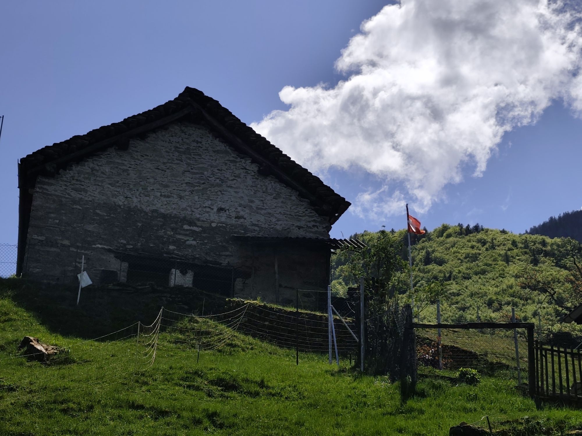
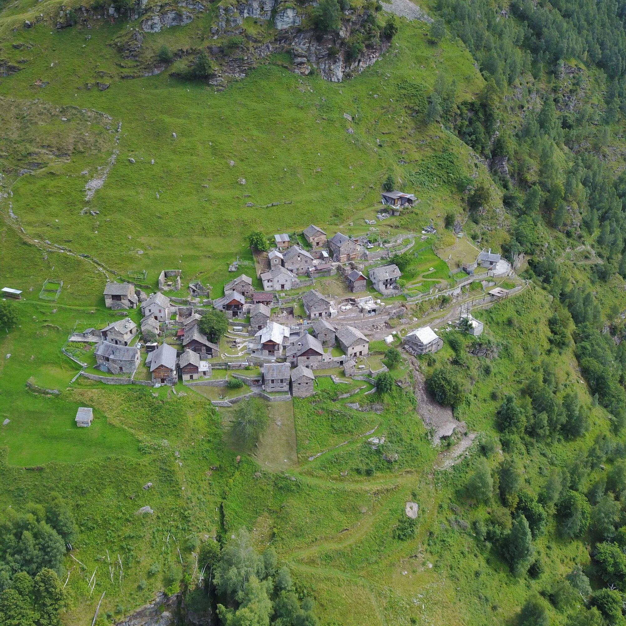
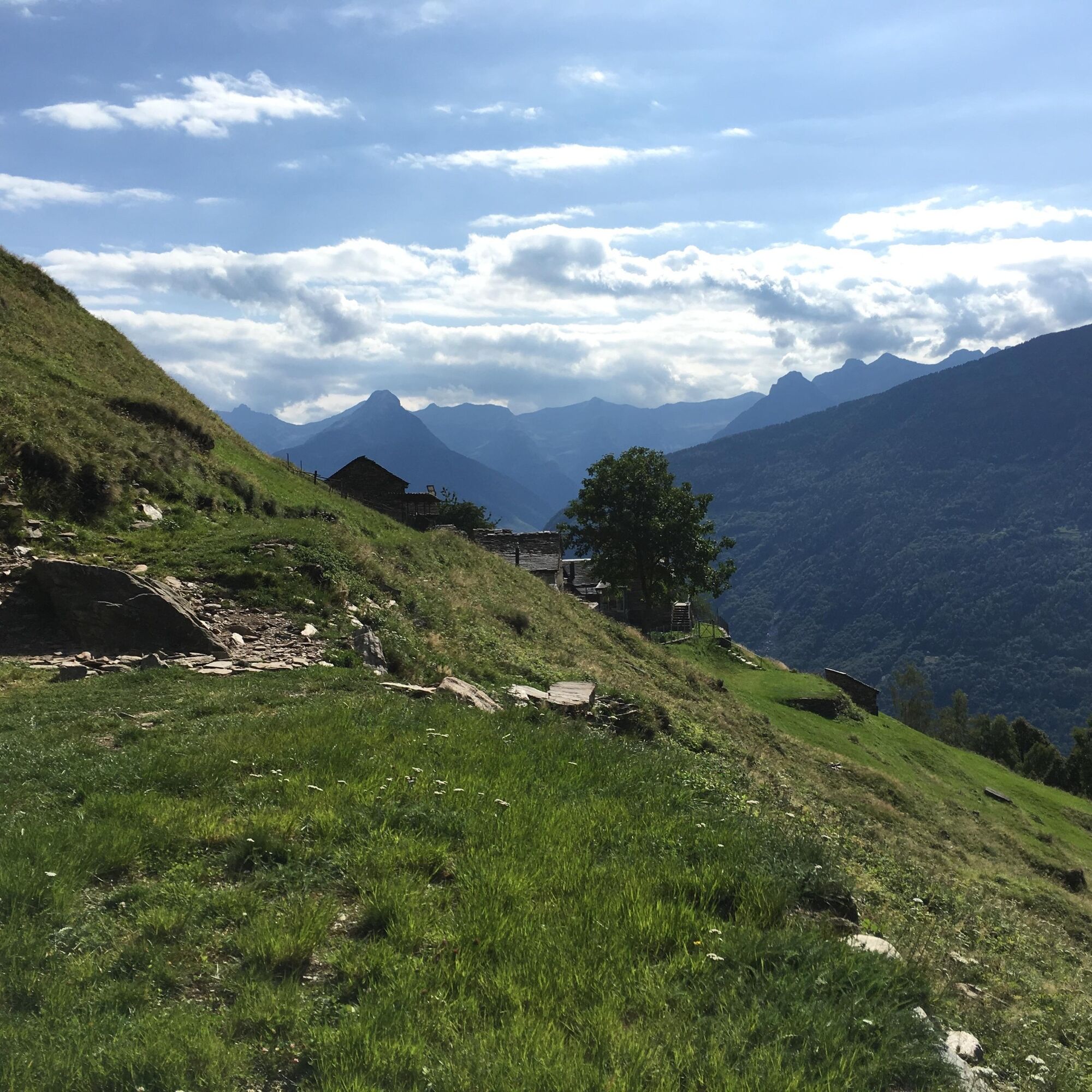
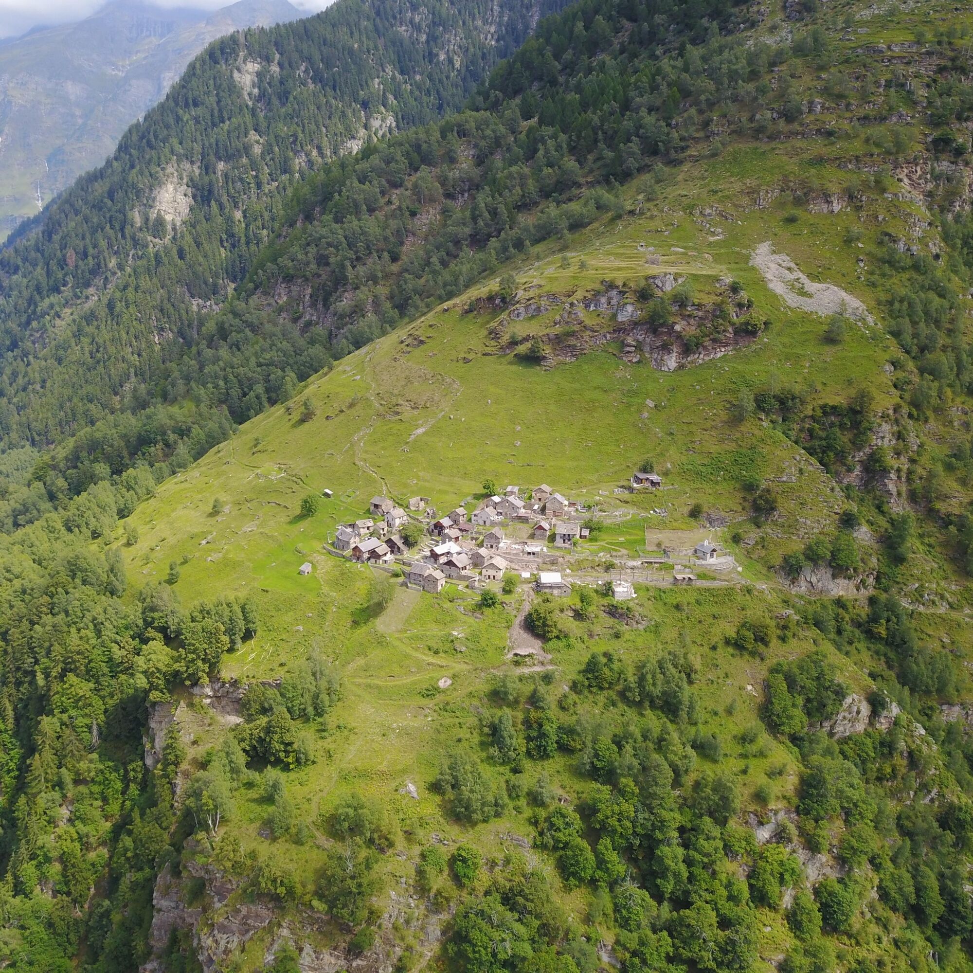
Celtic Trail in Malvaglia Valley


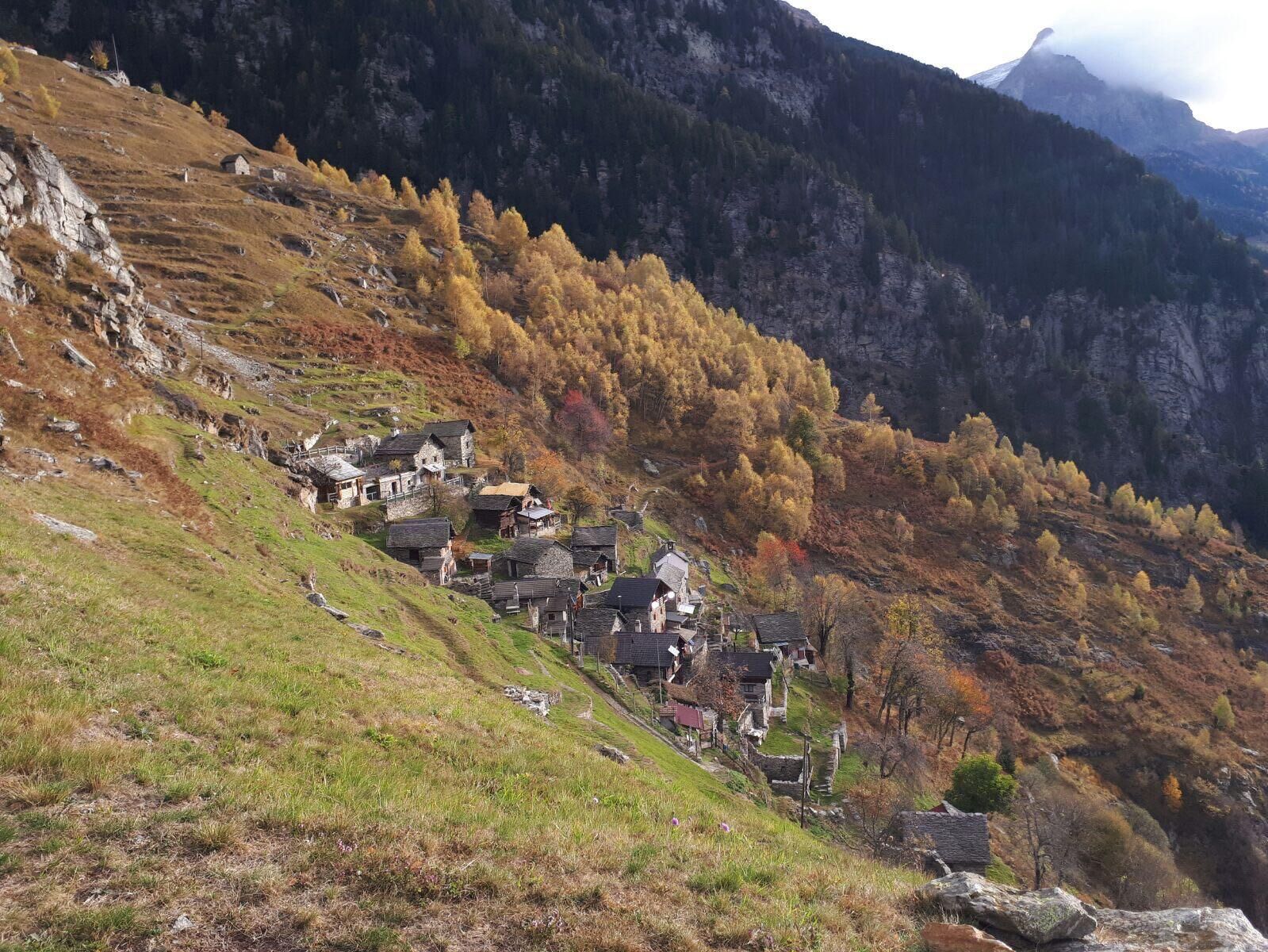
The Celtic Trail starts from Montegreco and, running up to Solgone, gets hikers close to nature. Informative boards along the trail explain the Bovis measurements which determine the quality of energy...
The Celtic Trail starts from Montegreco and, running up to Solgone, gets hikers close to nature. Informative boards along the trail explain the Bovis measurements which determine the quality of energy that these places give off: an invitation to close your eyes and experience the harmony. The itinerary returns to Malvaglia by passing Pontironetto and the old mule trail.

Tak
The careful planning of a tour will ensure that you also derive the maximum pleasure and enjoyment from it.
Popularne wycieczki w okolicy
Lago di Canée
Wędrówka 14,2 km- 4,7
Tibet Suspension Bridge Route Riasc
światłoWędrówka 6,12 km Frasco-Efra Hut-Frasco
ciężkidługodystansowy szlak pieszy 17,6 kmCima del Simano (2580 m)
Wędrówka 9 km- 5,0
Cusié > Capanna Quarei > Laghetto dei Cadabi > Alpe di poxxo > Cusié
średniWędrówka 13,0 km - 5,0
Via Alta della Verzasca - 3rd stage: Cornavosa hut - Efra hut
ciężkiWędrówka 13,3 km Lago d'Efra Trail
ciężkiTrailrunning 13,6 km- 4,0
Capanna Gorda
średniRakieta do chodzenia po śniegu 14,3 km Alpe della Bolla - Adula UTOE - Laghetto Cadabi (Passo Laghetto) - Alpe Quarnei - Dandrio
Wędrówka 25,3 kmPizzo Molare
Wędrówka 6,20 km

Wędrówki i tropienie


Nie przegap ofert i inspiracji na następne wakacje
Twój adres e-mail została dodana do listy mailingowej.