






Malga Cugola from Passo Oclini

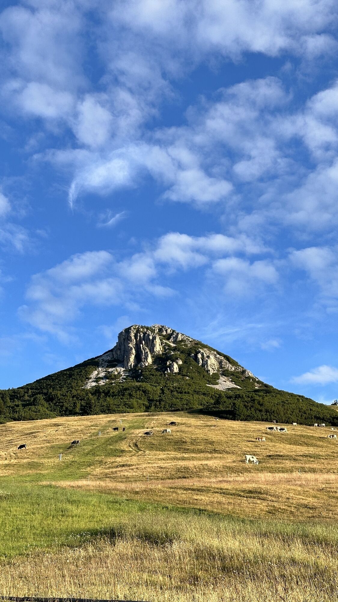
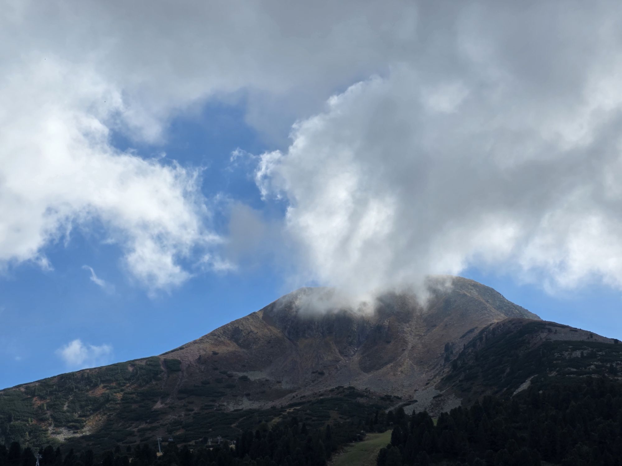
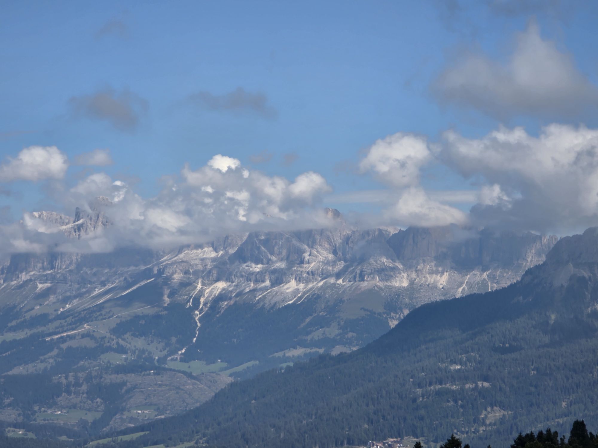
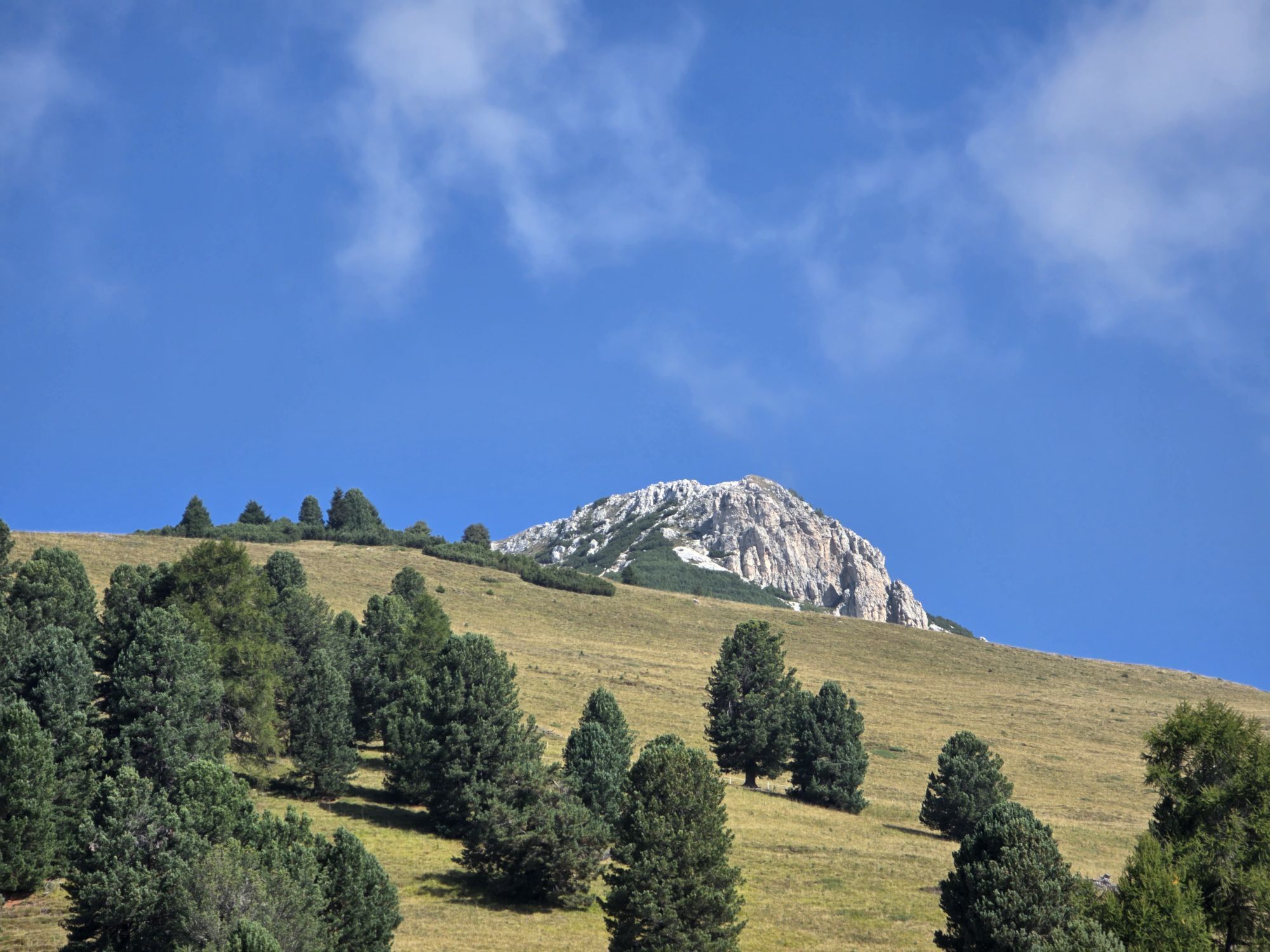
The path on the slopes of the Corno Nero mountain offers beautiful views ranging from the nearby Corno Bianco Peak to the far Brenta Dolomites. Among the trees of the dense and silent wood you can also...
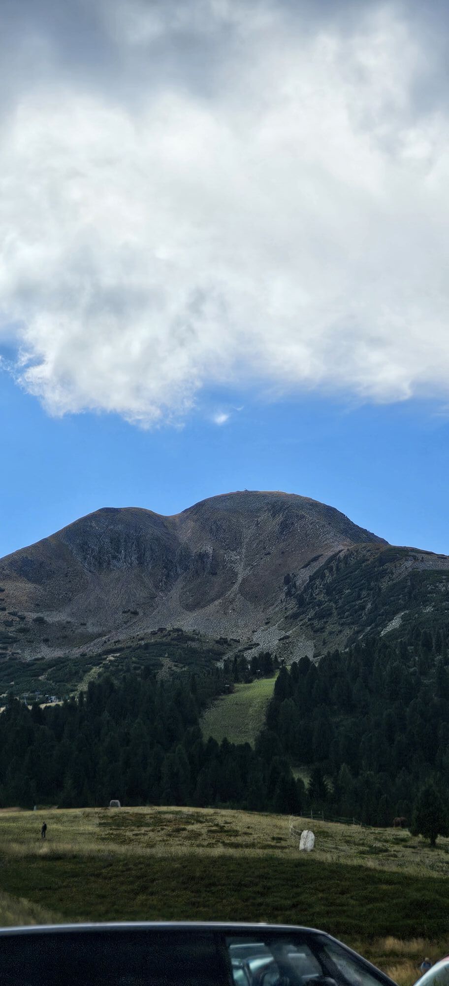
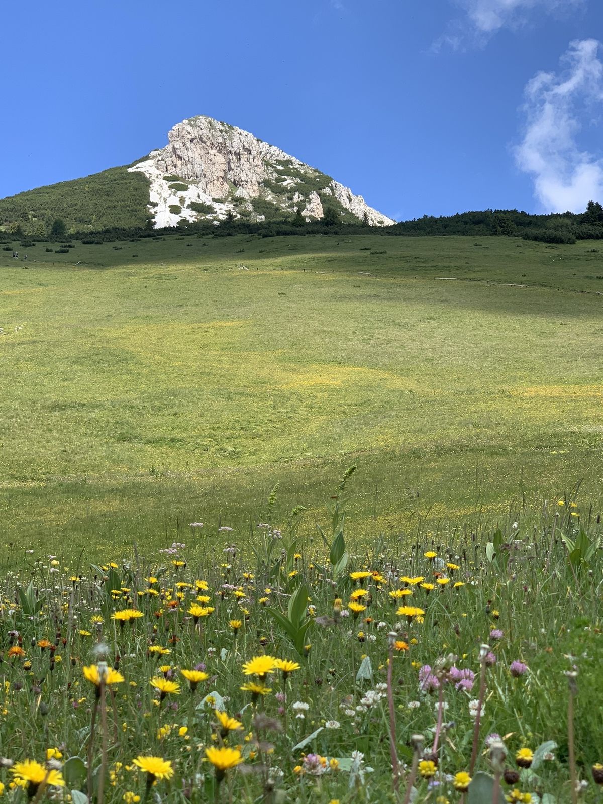
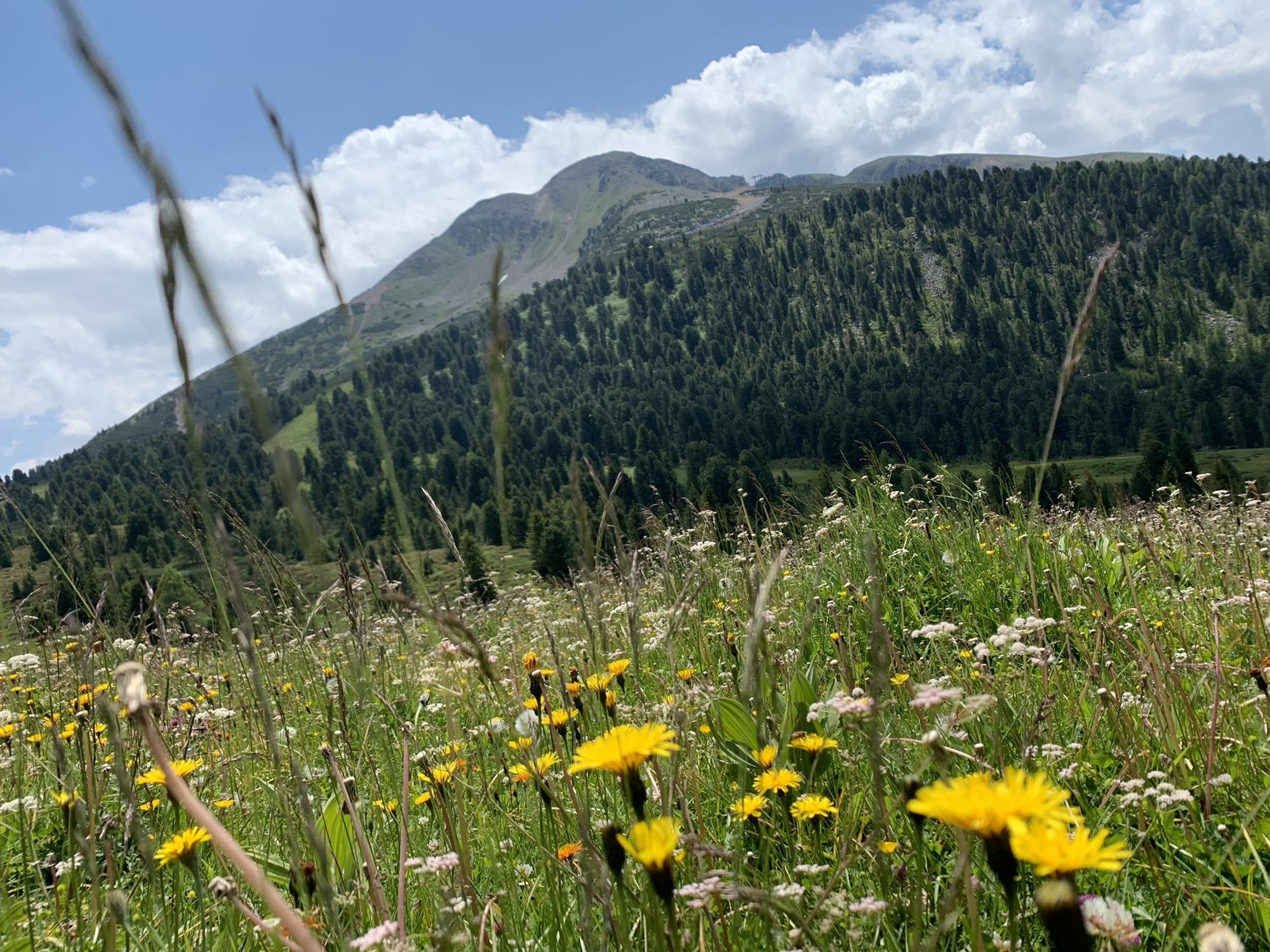
The path on the slopes of the Corno Nero mountain offers beautiful views ranging from the nearby Corno Bianco Peak to the far Brenta Dolomites. Among the trees of the dense and silent wood you can also see the typical South Tyrolean villages of Redagno and Aldino.

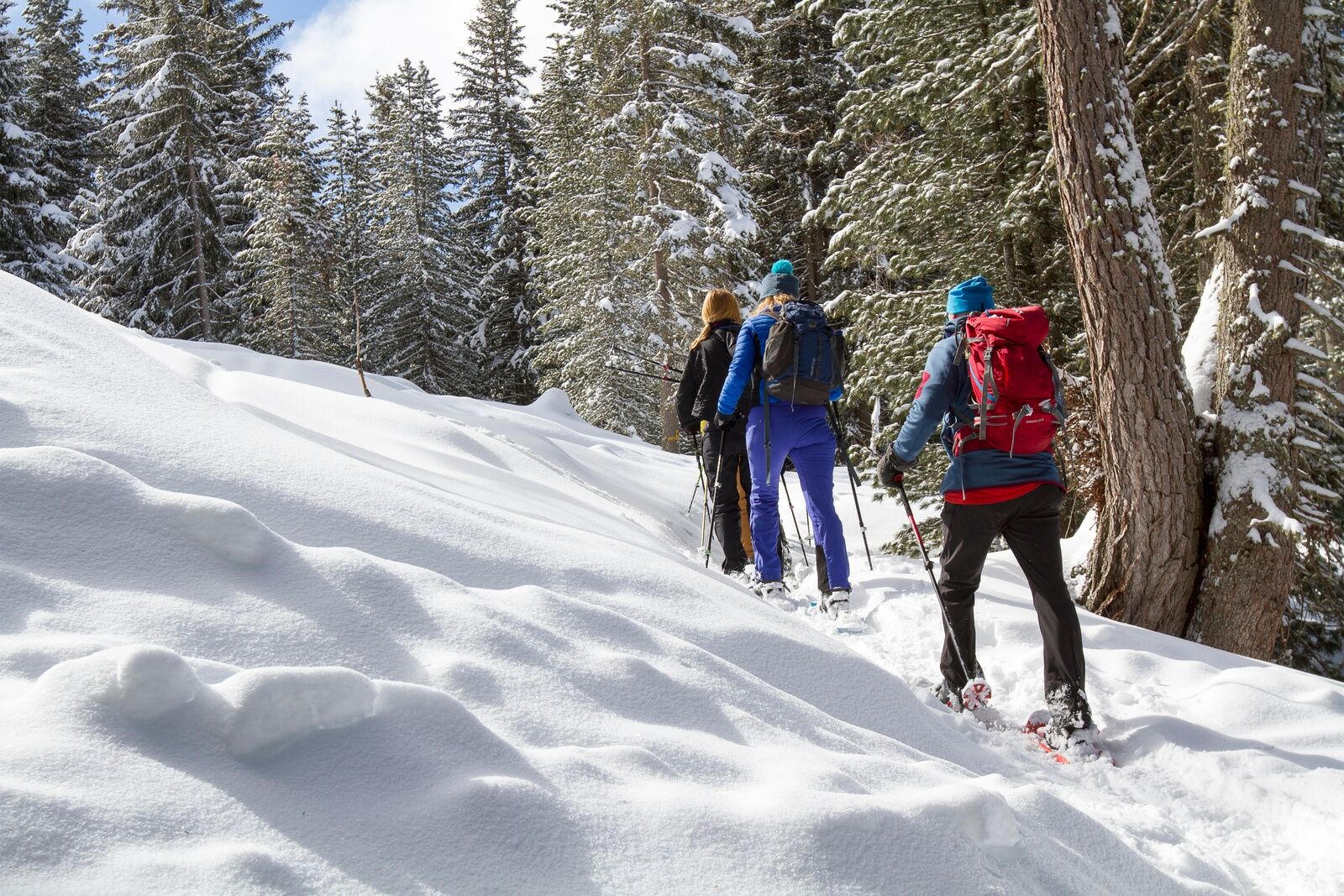
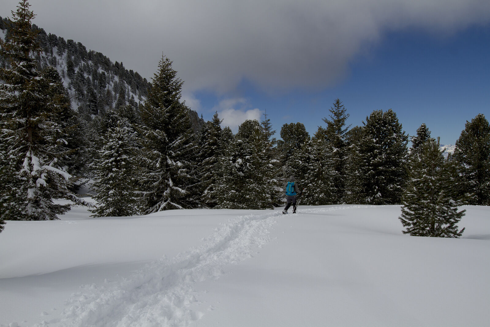
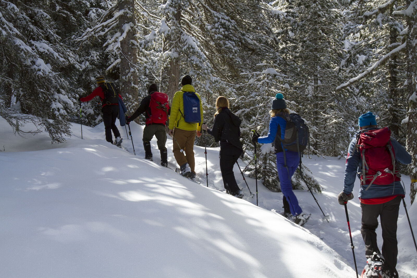
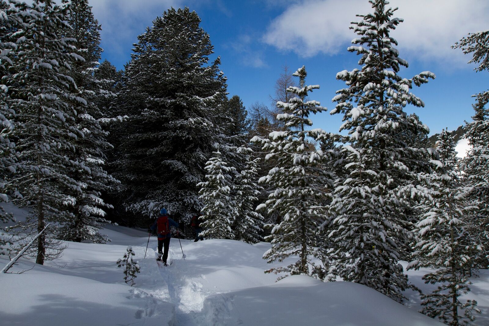
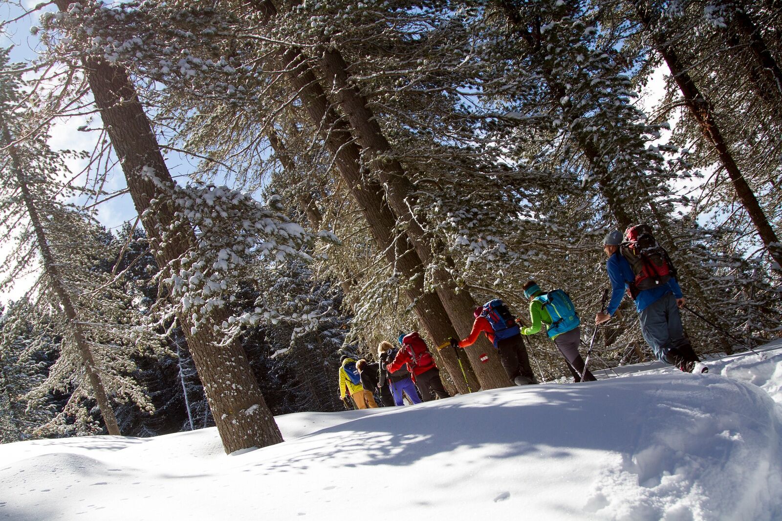
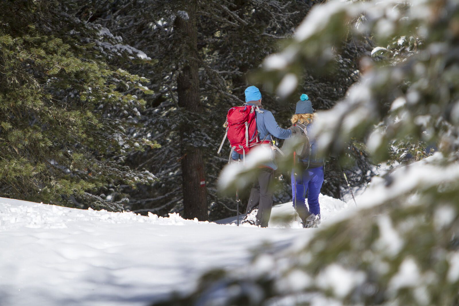
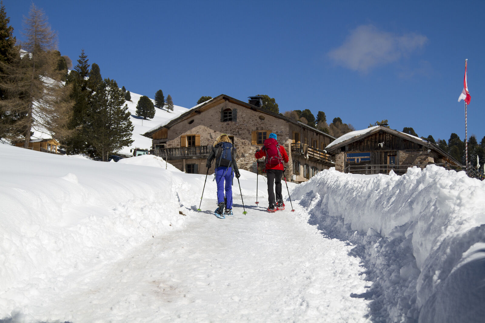
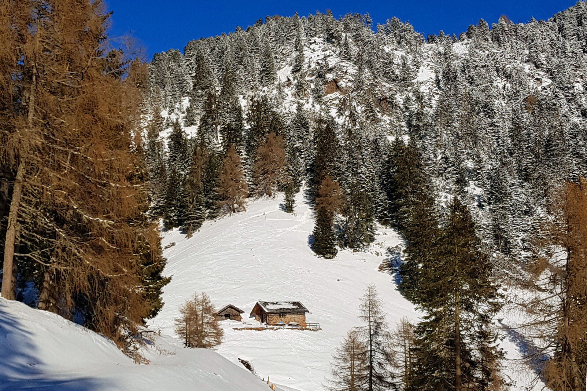

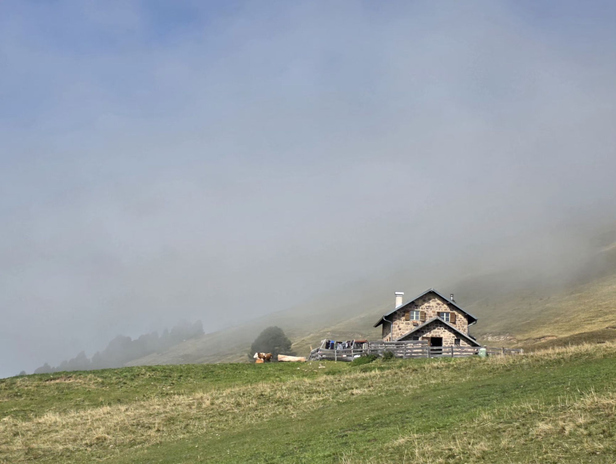
WAY UP Wear your snowshoes and leave the hotel Jochgrimm behind you, descending along the left side of the ski slope. At about 1900 m of altitude, on a tree on the left edge of the slope, you should be able to spot a sign pointing to path nr 4 to Malga Cugola. Follow the marks on the trees and after a while you will walk below a chairlift. Keep going through a wonderful wood of Swiss pines. The path continues through a gully and, after losing some altitude, reaches the Cugola Pass. From here slightly climb down on the other side (south), sometimes without snow, where you can find a stable on the right and Malga Cugola Alta on the left.
WAY BACKGo up to Passo Cugola and take the path that, downhill, leads to the Malga Cugola Bassa. From here take the forest road on the right which, first uphill and then slightly downhill, leads to the valley station of the Doladizza chairlift. Climb up to the Isi Hütte (refreshment options) and continue uphill on the path that leads back to Passo Oclini along the ski slope.
Warm and waterproof winter clothes. Spare shirt, gloves, wool cap, sunglasses, sunscreen, water, snacks, hiking shoes and hiking poles.
It’s COMPULSORY to carry with you an avalanche rescue kit consisting of avalanche transceiver, probe and shovel.
The tour is doable even after heavy snowfalls, since there is no avalanche danger.
THE 10 RULES FOR HIKERS
Prepare your itinerary beforehand Choose an itinerary that suits your physical abilities Choose suitable clothes and equipment Check the weather forecast Hiking by yourself is more risky; if this is the case, take a mobile phone with you Leave information about your itinerary and your expected return time If you are not sure about your itinerary, contact an Alpine Guide Pay attention to signposts and directions that you find along your way Do not hesitate in going back if you feel too tired In case of emergency call 112Remember, snowpack stability is subject to sudden and unforeseeable changes and shifts. Always check the local avalanche before departure and make sure you gather all possible information concerning current conditions from the local Mountain Guides. GPS tracks are merely indicative of the more standard routes but must not be followed blindly without first checking current slope and terrain conditions.
From Cavalese or from Tesero take first the road to Passo Lavazè and then the road left which leads to Passo Oclini.
Skibus from Cavalese to Passo Oclini.
Many parking possibilities at Passo Oclini.
APT Val di Fiemme - Tel. +39 0462 241111 - info@visitfiemme.it - www.visitfiemme.it
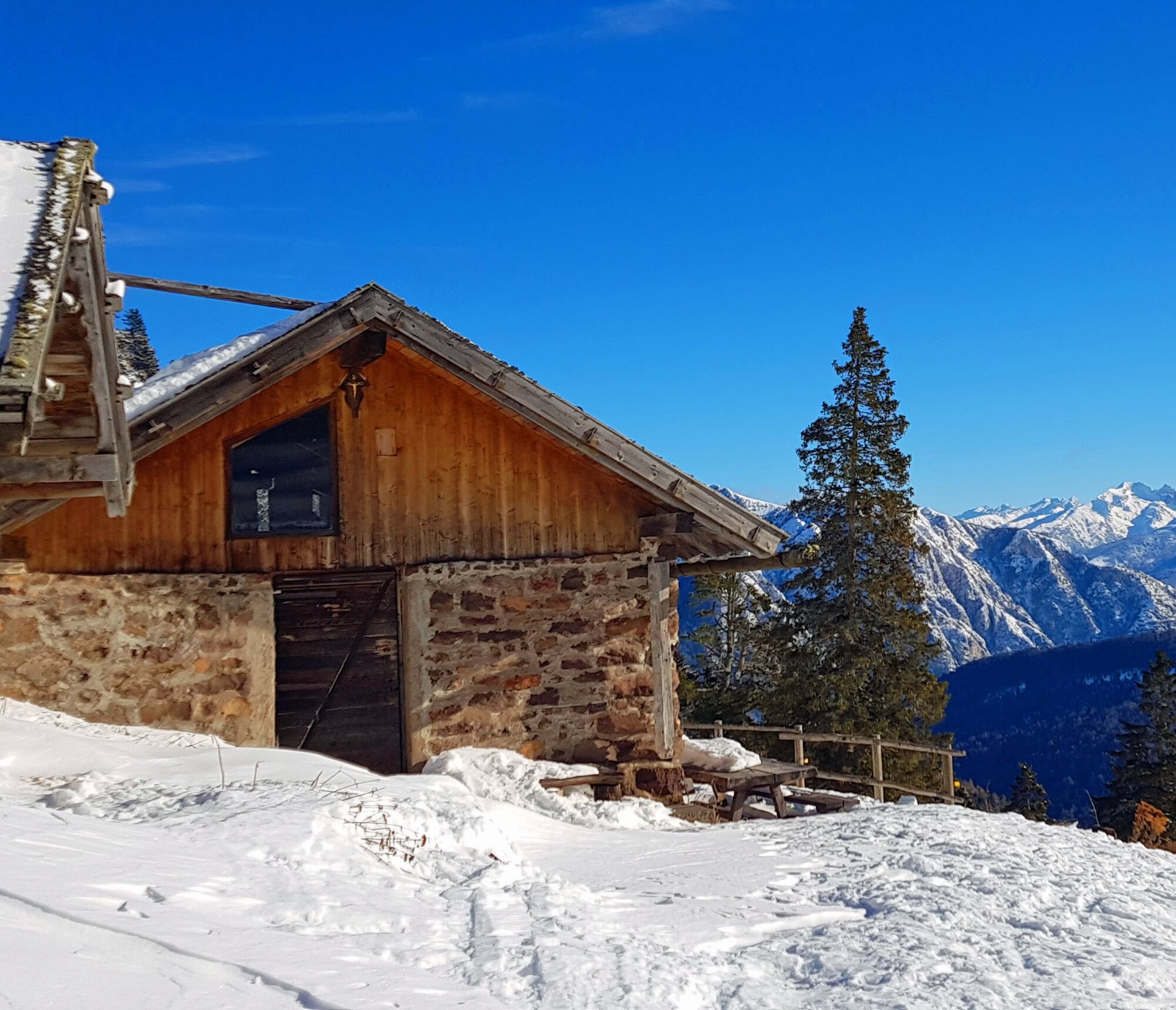
Malga Cugola Alta offers an unexpected and unusual view of Val di Fiemme and the imposing Lagorai chain. This beautiful sunny "balcony" is ideal for a break before setting out on the way back. The hut is not managed, but it is open. The outdoor table and benches invite you to enjoy a snack or packed lunch (brought from home) in total relaxation.


Popularne wycieczki w okolicy
- 4,9
Torre di Pisa mountain hut
średniWędrówka 9,09 km - 4,7
Malga Cislon
średniWędrówka 9,37 km - 3,2
Seerundwanderung mit Naturlehrpfad am Kalterer See
Wędrówka 7,30 km - 5,0
Latemar Umrundung - die Kurze und Bequeme
średniWędrówka 12,1 km - 4,9
Latemar.Panorama
światłoTrasa tematyczna 7,83 km - 4,8
Tour of Monte Cornon
średniWędrówka 7,65 km - 4,8
Latemar Panorama
średniWędrówka 11,7 km - 4,8
Weißhorn
średniWędrówka 6,64 km - 4,8
Latemar Tour - Tour 930
średniMountainbike 37,4 km - 2,8
Wanderung zur Latemarhütte
średniWędrówka 7 km
Wędrówki i tropienie


Nie przegap ofert i inspiracji na następne wakacje
Twój adres e-mail została dodana do listy mailingowej.





