


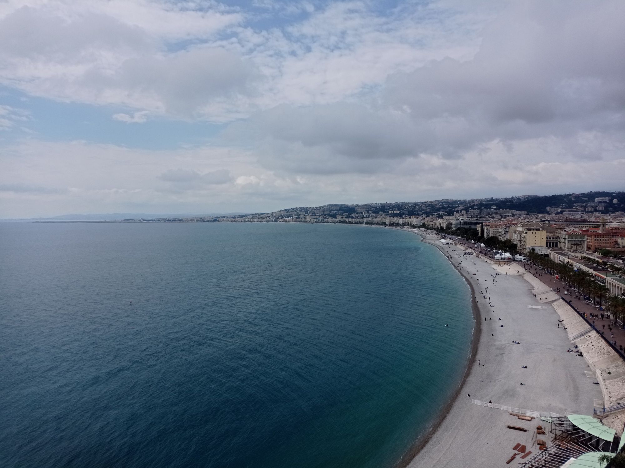
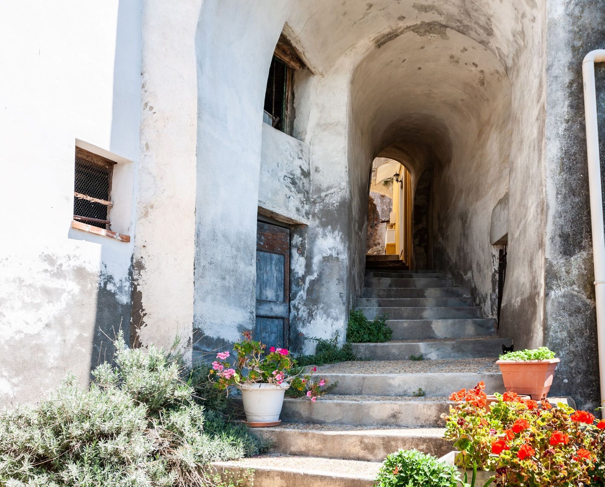
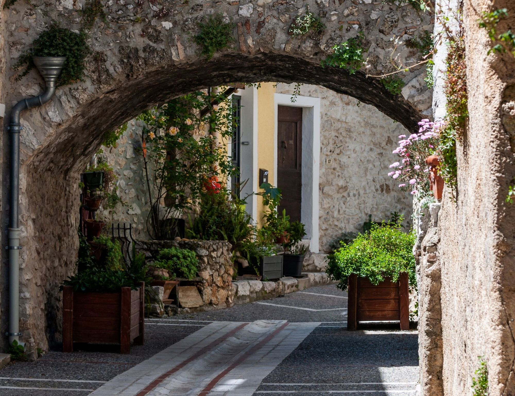
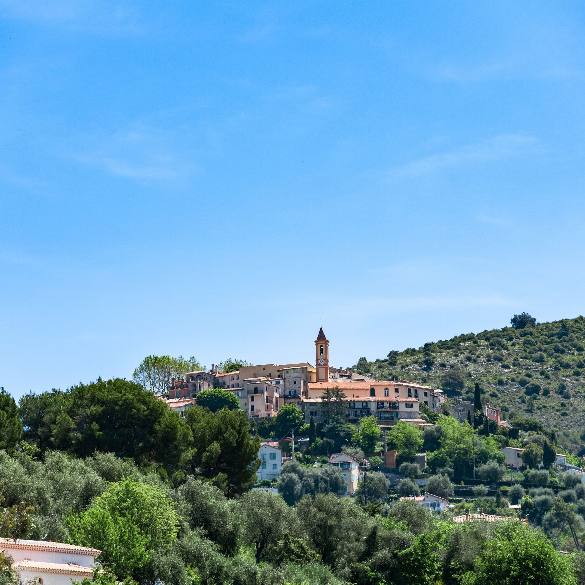
FFC bike circuit no. 4: on the Tour de France roads (small loop)
Poziom trudności: 2

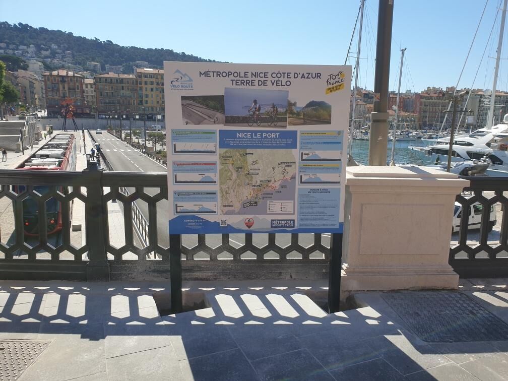
All outdoor activities of the Nice Côte d'Azur Metropolis are on https://outdoor.nicecotedazur.org


Tak
Tak
EQUIPMENT
-Wear an approved helmet
-Check the condition of your tires
-Take a repair kit for punctures
-Prefer at least one flashing LED light to attach to the seat post to be seen by motorists, especially in the small tunnels common in the Metropolis
Emergency number: 112
BASIC RULES
-Choose a route adapted to your physical condition, do not overestimate your abilities
-Check the mountain weather and pass opening before leaving
-Remember to carry identity and an emergency contact number
-Respect traffic lights
-Prefer bike paths when they exist, i.e. a sign may require this :
If the "bike path" sign is square: you decide. If it is round you must use this path without exception.-Respect the environment and other road users
GOOD PRACTICES FOR RIDING IN A GROUP
-Riding two abreast is permitted, but single file is required :
At nightfall or in low visibility When an overtaking vehicle signals its approach.-In case of breakdown, move to the roadside, not on the road
-At stop signs, yellow or red lights (steady or flashing), the group must stop fully.
-Communicate with the group using verbal and hand signals to warn of obstacles or vehicles. A simple gesture or word can prevent a fall or accident.
Nice is served by highway A8 “La Provençale”, coming from Aix-en-Provence in the West and the border to the East. To reach the city center, five exits have been arranged to go directly to the neighborhood of your choice :
Exit no. 50: Promenade des Anglais Exit no. 51: Saint-Augustin / airport Exit no. 52: Saint-Isidore Exit no. 54: Nice north Exit no. 55: Nice eastHigh speed and express trains (TGV, Corail train) connect the Côte d'Azur to all French regions and major cities in Europe.
Find bus lines at: https://www.lignesdazur.com
Parking near the starting point. Some parking may be paid.
2
To learn more about our destination, visit our website
"Leisure practical" circuit (FFC color: blue)
Popularne wycieczki w okolicy
- 4,8
Tour du Cap-Ferrat
średniWędrówka 8,99 km - 4,0
Chemin de Nietzsche
światłoWędrówka 3,73 km - 5,0
Little hike at Eze: Fort de la Revère Circuit
światłoWędrówka 6,02 km Little hike in Nice: the Mont Boron route
światłoWędrówka 5,13 km- 4,0
Little hike in Aspremont: Mont Chauve circuit
światłoWędrówka 6,49 km Nice - Aspremont / Pagarine Route (stage 1)
średniWędrówka 15,8 kmGrande Randonnée® de Pays: Lou Camin Nissart
ciężkidługodystansowy szlak pieszy 44,7 kmFFC bike circuit no. 5: on the Tour De France routes (big loop)
średniDroga rowerowa 74,2 km- 5,0
Goldtoni - Alpenbogen A082 Drap-Nizza
światłodługodystansowy szlak pieszy 26,4 km FFC bike circuit no. 8: the 70.3 circuit (Half IRONMAN)
średniDroga rowerowa 92,8 km
Wędrówki i tropienie


Nie przegap ofert i inspiracji na następne wakacje
Twój adres e-mail została dodana do listy mailingowej.