


Itinerancy no. 2 - 2 days - Stage 2 Auron - La Manda
Poziom trudności: 5
A test of strength to travel from the Tinée valley to the Var valley, passing through the Vésubie valley. Sublime viewpoints will reward athletes, from the village of La Tour sur Tinée, the Madone d’Utelle...
A test of strength to travel from the Tinée valley to the Var valley, passing through the Vésubie valley. Sublime viewpoints will reward athletes, from the village of La Tour sur Tinée, the Madone d’Utelle orientation table, the Saut des Français in Duranus, and the village of Aspremont.

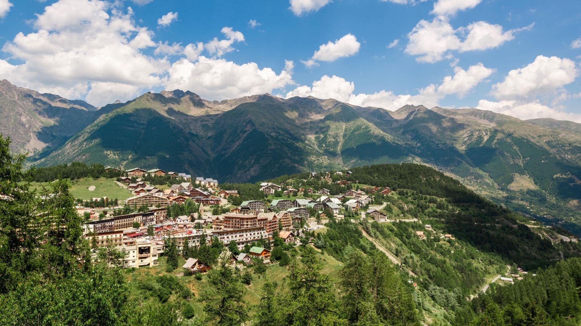
Starting from Auron, go down RM 39
At the cable car roundabout take the 1st exit, RM 2205 towards Isola
Continue on RM 2205, cross Isola Village, Saint-Sauveur sur Tinée, Pont de Clans
At the intersection of RM 2205 and RM 32, cautiously turn left to take RM 32 towards La Tour sur Tinée
Cross La Tour sur Tinée
Continue on RM 32 to the junction with RM 132
Take RM 132 towards La Madone d’Utelle, 6 km
The final arrival is at the sign indicating the summit under the Sanctuary
Push 500 m higher to admire from the orientation table a magnificent landscape turned 360° towards the sea and the Mercantour peaks
Carefully descend to the junction of roads RM 32 and RM 132
From this intersection take M 32 to the right towards Saint-Jean-la-Rivière, 10 km
Pass through the village of Utelle
Cross the bridge of Saint-Jean-la-Rivière over the Vésubie and take the right on RM 2565 towards Nice
500 m after this intersection, leave RM 2565 to take left RM 19
Continue on RM 19 crossing Duranus
At the junction of the entrance to Levens, take left to continue on RM 19
At the exit of the urban area, at the intersection with RM 14, take the direction of St. Blaise
Cross St. Blaise
Continue on RM14 to the village of Aspremont
At the village square, take the direction of Colomars via RM 414
Cross Colomars and stay right to continue on RM 414
At the intersection with RM 514, turn right towards N202 Digne
Arrived at the roundabout with RM 6202, you have reached your destination
-Wear an approved helmet
-Check the condition of your tires
-Take a repair kit in case of puncture
-Prefer at least one flashing LED light to attach to the seatpost to be seen by motorists, especially in small tunnels
-Remember to take a windbreaker or raincoat for the descent of the pass
BASIC RULES
Choose a climb suited to your physical condition, do not overestimate your abilities
Check the mountain weather and pass openings before leaving
Remember to carry an ID and an emergency number to call
Respect the environment
Control your speed during the descent
GOOD PRACTICES FOR GROUP RIDING
Riding two abreast is allowed, but single file is required:
at nightfall or when visibility is poor
When a vehicle wanting to overtake signals its approach.
5
ENCOUNTER WITH THE FAMOUS PATOUS POSSIBLE ON THE LAST KILOMETERS OF THE MADONE ASCENT
These dogs tirelessly guard the flocks, threatening to attack anything that approaches.
A frequent source of controversy, their presence regularly leads to incidents. Many of them are avoidable, by taking some precautions.
Advice no.1: announce your arrival
On the road, in the upper part of the pass, the presence of patous nearby should be taken seriously and cyclists should be cautious and announce their arrival from a distance, without shouting, as patous do not like to be surprised.
Advice no.2: maintain a safe distance
For a patou raised among sheep, anyone approaching the flock is a potential threat. You should therefore keep as much distance as possible from the flocks. Move slowly and steadily.
Advice no.3: accept confrontation
These dogs are trained for deterrence rather than attack. If they spot an intruder, they will start barking and growling. It is common for them to approach the cyclist, looking aggressive to sniff him. Stay calm, speak in a soothing voice, move without sudden gestures, and try not to show fear to reduce tension. The cyclist should get off the bike and walk quietly beside it.
Advice no.4: don’t show aggression
In confrontation, the dog must not feel threatened. Avoid looking it in the eyes and lower your head.
Advice no.5: don’t become prey
Fleeing at full speed on the bike would likely be one of the worst things to do. A guard dog runs much faster than any cyclist and seeing you flee at full speed could make it perceive you as prey.
.
Route reserved for athletes and experienced cyclists
All outdoor activities of the Metropolis Nice Côte d'Azur are on https://outdoor.nicecotedazur.org
Popularne wycieczki w okolicy
- 5,0
FFC cycling circuit No. 32: The loop of the 2 valleys from St. Sauveur/Tinée
ciężkiDroga rowerowa 117,8 km FFC cycling circuit no. 30: the loop of the Col de la Couillole
ciężkiDroga rowerowa 70,8 kmRoquebillière - Saint-Martin-Vésubie / Pagarine route (stage 5)
ciężkiWędrówka 18,3 kmUtelle - Roquebillière / Pagarine route (stage 4)
średniWędrówka 20,0 kmMercantour to Nice Electric Mountain Bike Route "e-bike MNCA"
średniMountainbike 236,3 kmMountain bike circuit FFC no. 21a: Les granges de la Brasque
ciężkiMountainbike 41,2 kmMountain bike FFC circuit no. 5: Le Gabre
średniMountainbike 4,91 kmRoute n°1 - 2 days - Stage 2 Isola Village - Nice
ciężkiDroga rowerowa 139,4 kmFFC mountain bike route no. 11: The pointe de la Penna
średniMountainbike 11,1 kmVTT FFC route no. 2: The Férisson dairy farm
ciężkiMountainbike 28,0 km

Wędrówki i tropienie


Nie przegap ofert i inspiracji na następne wakacje
Twój adres e-mail została dodana do listy mailingowej.