


VTT FFC circuit no. 7 - The Olive Trees Loop


All the outdoor activities of the Nice Côte d'Azur Metropolis are on https://outdoor.nicecotedazur.org

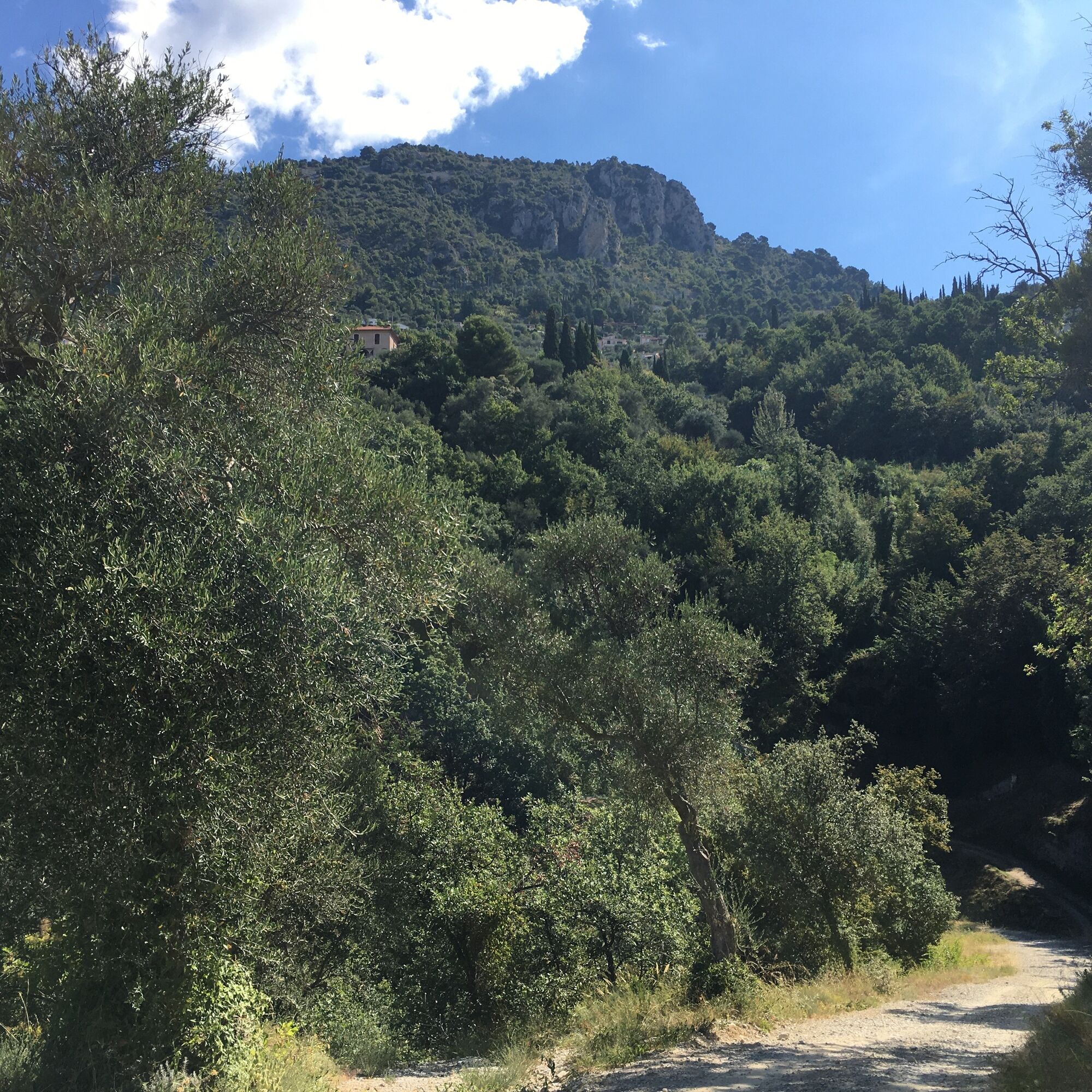
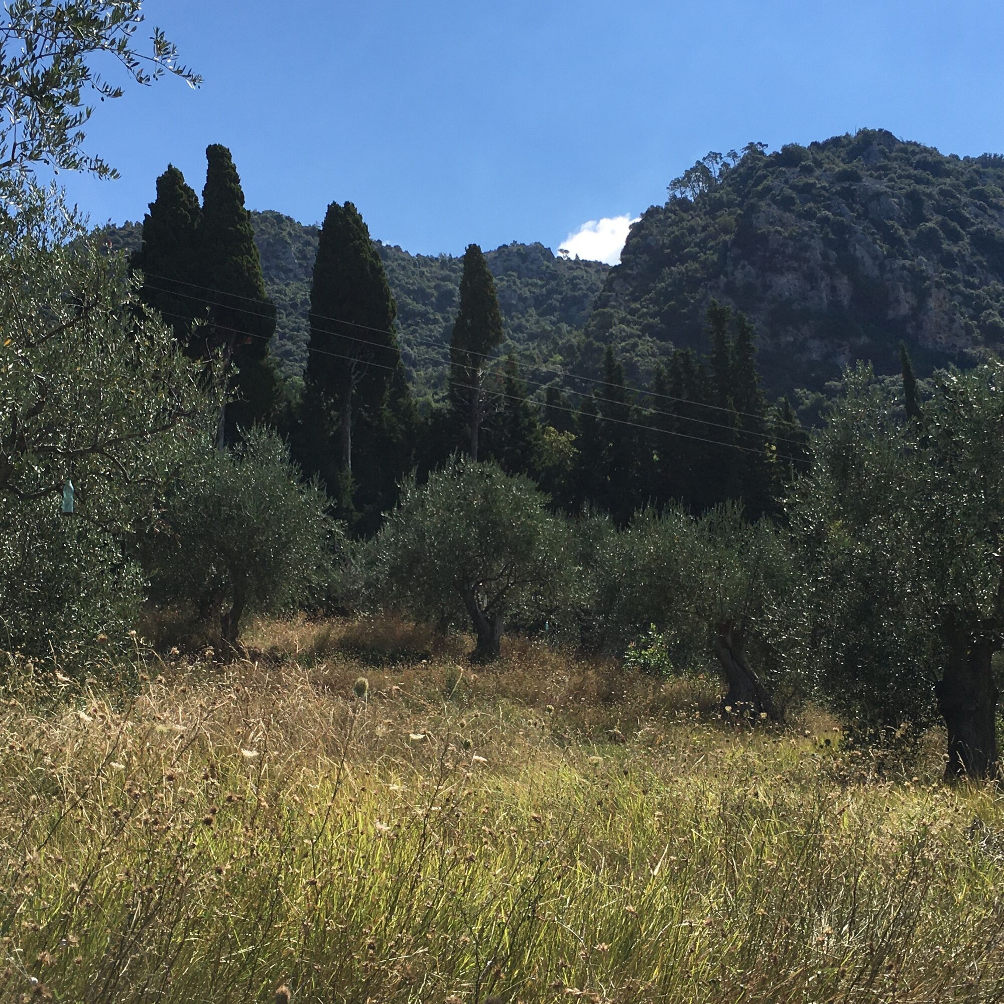
The start is at the Olive Trees parking above the village of Castagniers, cross the Metropolitan road and go down to the right, Chemin du Vignon, following the direction of the wooden post "le Portion." Turn right. A DFCI track "forest track" then goes left and winds along the hillside to the hamlet 'le portion.' Turn left onto the "chemin bas Portion." At the road intersection, turn left and follow along the olive trees.
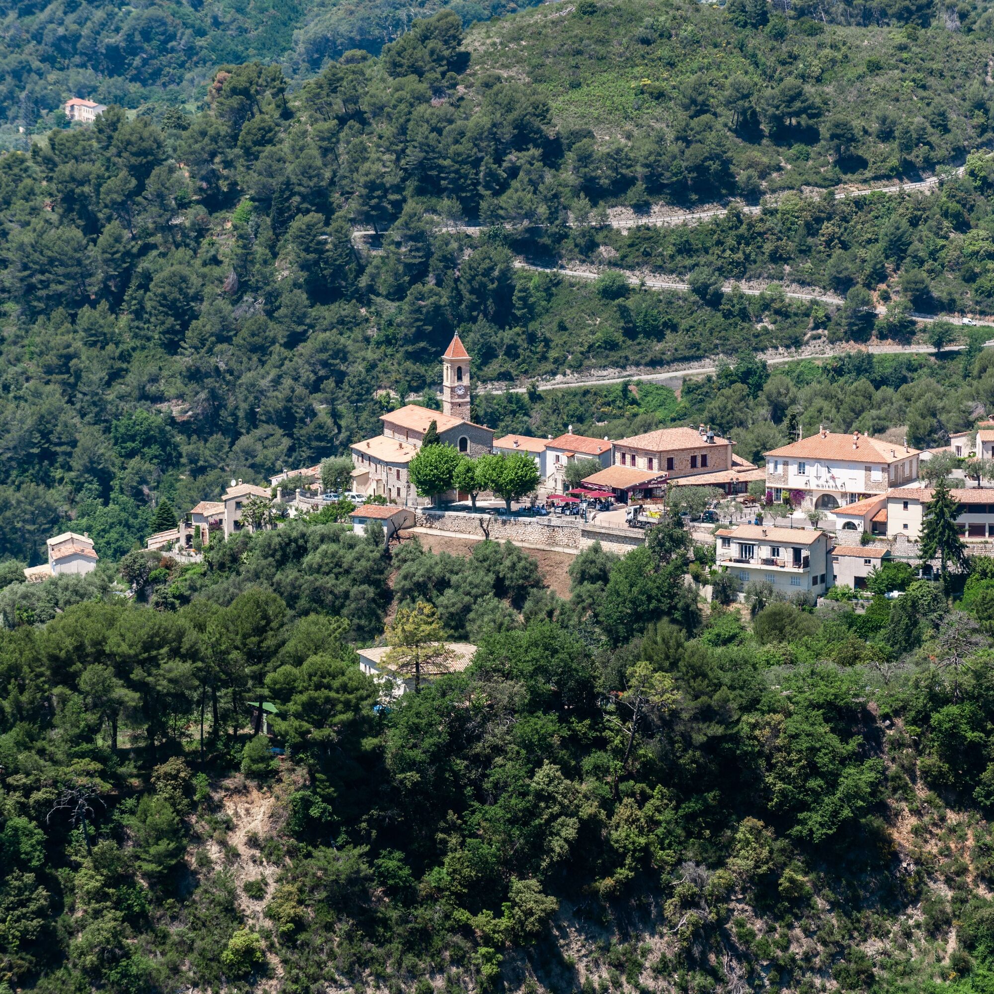
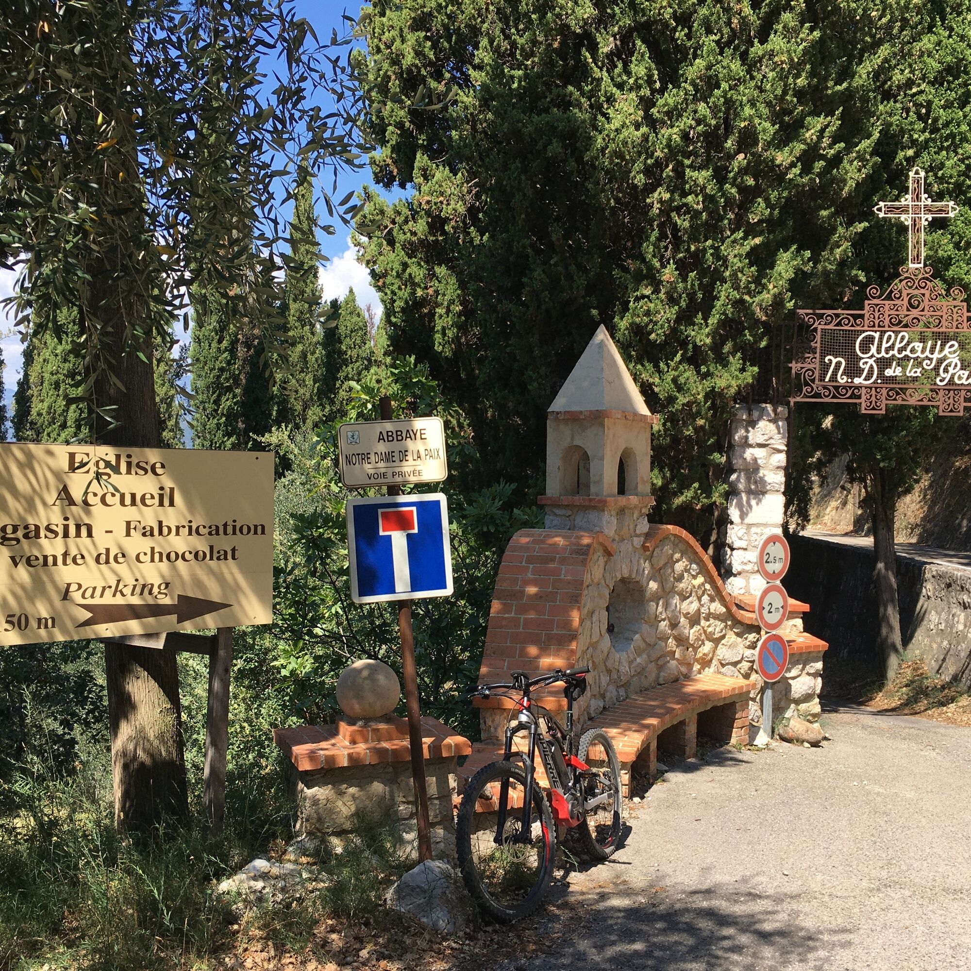
The route then takes a road passing close to the Notre-Dame-de-la-Paix abbey.
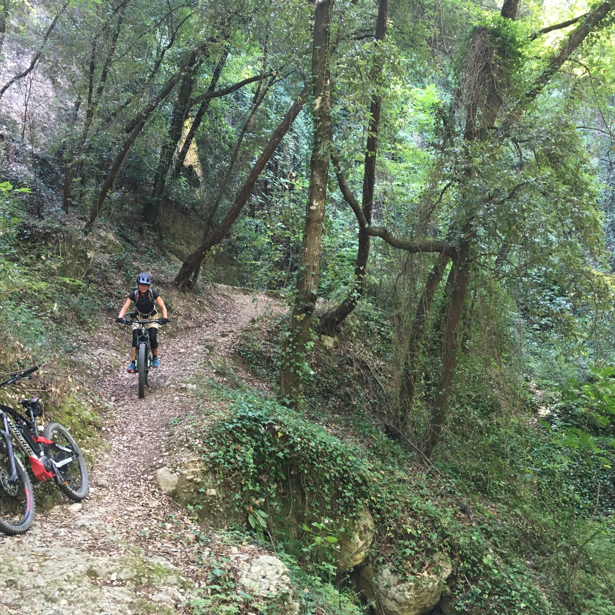
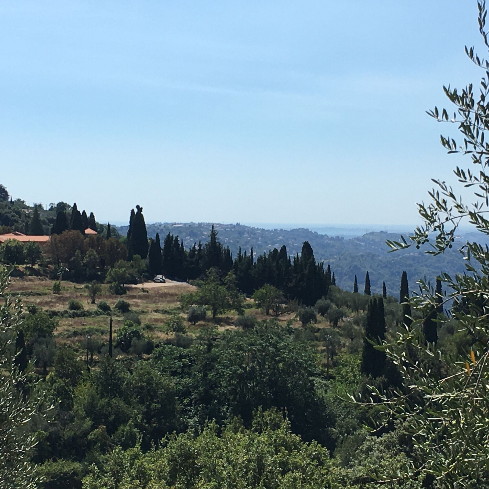
Before the calvary, turn left towards "la Loubière," descend a winding and fairly technical path to discover a dark valley. At the exit, continue following "la Loubière" direction towards the M1114. Then follow the direction of Castagniers via the M14 and then the M614.
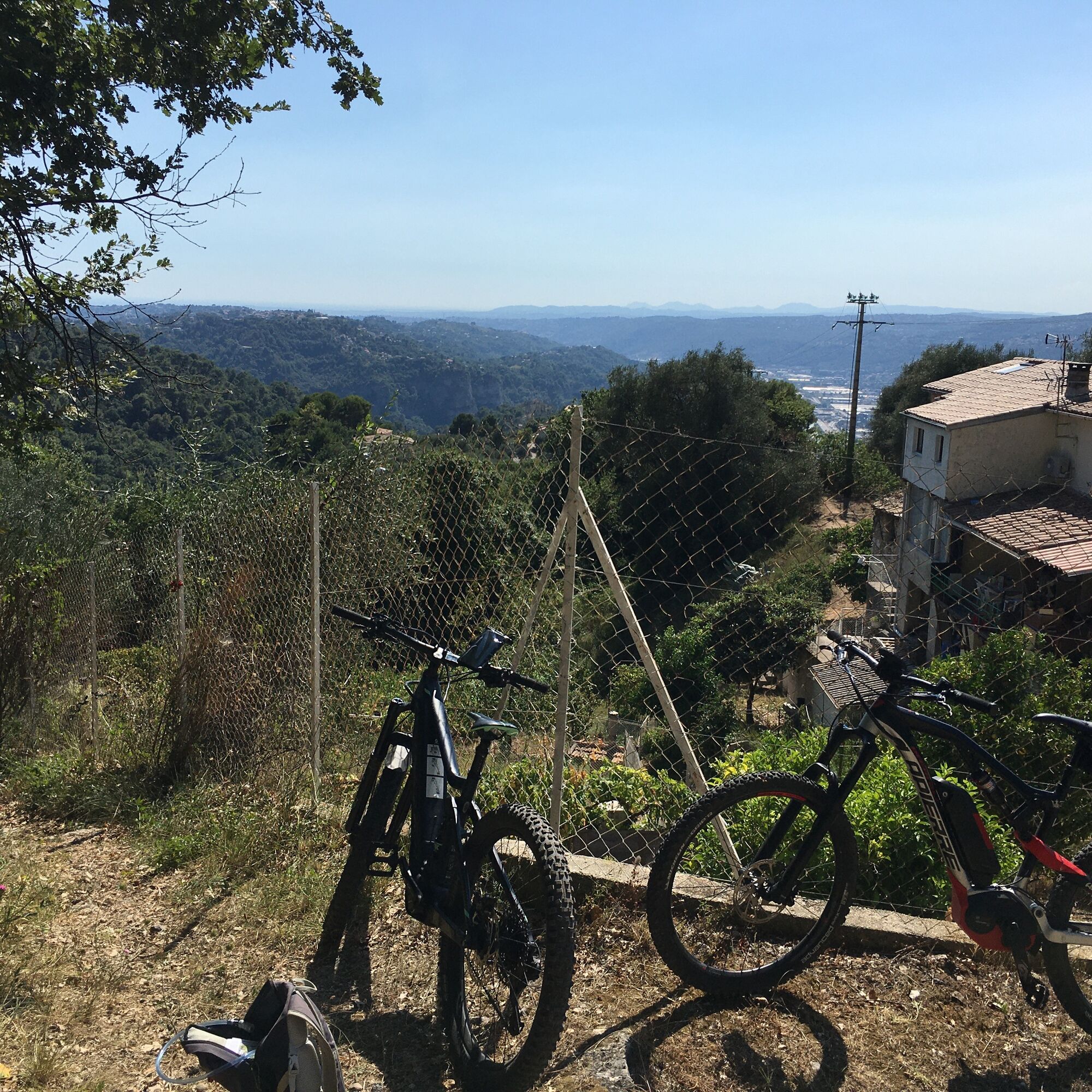
Before the first hairpin bend, take a small road on the left that climbs towards a flat path. After 600m, turn right onto a small technical passage leading to the place called "Carretier." Continue descending using very wide steps.
Follow the VTT FFC markers and return to the starting point (olive trees parking).
Wear a helmet, bring protective equipment, and repair accessories.
Watch the weather: Mountain weather changes quickly, bring warm clothes.
• Follow the marked trails, do not take shortcuts, and respect the direction of the routes.
• Before starting a route, check that it suits your level, inspect the condition of your mountain bike, and leave your route details with someone.
• Wear a helmet, bring protective equipment and repair accessories.
• Watch the weather: Mountain weather changes quickly, bring warm clothes.
• Be cautious, courteous, and slow down when overtaking other users.
• Be extra careful during hunting season and inquire about ongoing hunting drives.
• If you encounter livestock protection dogs, dismount, avoid sudden movements, and go around the herd.
• Respect private property, cultivated areas, and close barriers after passing.
• Adopt eco-friendly behavior: take your trash with you and respect fauna and flora to preserve nature.
• Always make sure to carry the IGN map corresponding to the route concerned.
Find the bus lines on: www.lignesdazur.com
Parking may be paid
Follow the mountain bike markings corresponding to the circuit number: The route is marked with orange "VTT FFC" arrows on which the circuit numbers to follow are displayed (here number 7).
Visit the Cistercian abbey, where you can buy chocolate made by the nuns!
Start early in the morning to enjoy a meal "chez Michel", a restaurant labeled for Niçoise cuisine.
Popularne wycieczki w okolicy
-
4,0
Chemin de Nietzsche
światłoWędrówka 3,73 km -
Little hike at Eze: Fort de la Revère Circuit
światłoWędrówka 6,02 km -
The "Route des Paysages" between the coast and the middle country of Nice
światłoMotorrad 147,7 km -
Grande Randonnée® de Pays: Lou Camin Nissart
ciężkidługodystansowy szlak pieszy 44,7 km -
Kurzweg Abend.
światłoWędrówka 1,22 km -
Little hike in Nice: the Mont Boron route
światłoWędrówka 5,13 km -
FFC mountain bike circuit no. 1: The Mont Chauve route
średniMountainbike 11 km -
FFC bike circuit no. 5: on the Tour De France routes (big loop)
średniDroga rowerowa 74,2 km -
FFC MTB route no. 25: The summit of Broc
średniMountainbike 18,9 km -
MTB FFC circuit no. 50: le Calamel
średniMountainbike 18,0 km
Wędrówki i tropienie


Nie przegap ofert i inspiracji na następne wakacje
Twój adres e-mail została dodana do listy mailingowej.