






Unesco Land Cycle Route in Mountain Bike - Roero, Langhe and Monferrato

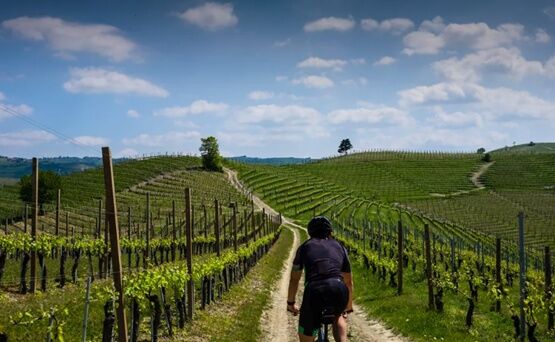
In addition to offering breathtaking views of the rolling hills, the route is very evocative during the grape harvest period, which runs from August to October. During these months, it is possible to admire...
In addition to offering breathtaking views of the rolling hills, the route is very evocative during the grape harvest period, which runs from August to October. During these months, it is possible to admire the vineyards with a splendid autumn coloration and witness the busy activity of farmers picking grapes for wine production.
It is an ideal opportunity to spend a day outdoors, away from city stress.
The project, carried out by the Province of Asti in collaboration with Fiab Monferrato, the Province of Alessandria and Cuneo, also foresees the subsequent study of the cycling section Asti-Alessandria and Castagnito-Canelli - Nizza Monferrato, with a total development of over 240 km.
The proposed route is a true journey among the food and wine treasures of the Piedmontese territory. Along the way, cyclists will have the chance to pass through picturesque villages and visit wineries for tastings and guided tours.

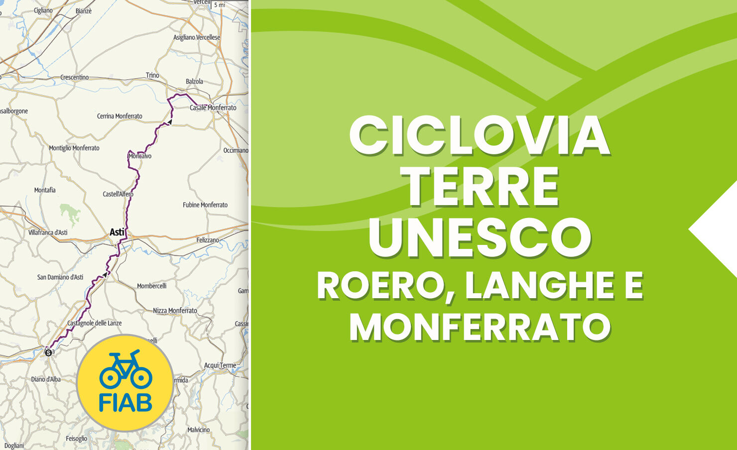

The starting point of the route can be chosen either in Casale Monferrato or Alba, and Asti is located approximately halfway along the way.
In summer periods it is advisable to always carry a bottle with water and mineral salts.
Arriving by car to Casale Monferrato is possible via: A26 Genoa-Gravellona motorway, taking the exit at the tollgate: Casale South
To arrive by car to Alba it is possible to take the A33 Asti-Cuneo motorway, and exit at the tollgate: Castagnito – Alba East
Train FS Station from: Alba, Asti, Casale M.to
In the center of Casale Monferrato it is possible to park at Piazza Castello.
In Alba instead at Piazza Trento e Trieste (FS Station).
For all updates, it is possible to visit the website Pedalare il Monferrato.
Get excited with a fascinating route through the renowned wine-growing areas of Langhe and Monferrato, to be experienced during the grape harvest season (August, September, October).

Popularne wycieczki w okolicy
Sentiero "Vigneti e Infernot" - Sentiero 726 in mountain bike
Mountainbike 14,1 kmSentiero le Vecchie Fonti - Sentiero 860 in camminata
Trasa pielgrzymki 14,4 kmSentiero le Vecchie Fonti - Sentiero 860 in mountain bike
Mountainbike 14,4 kmSentiero "Vigneti e Infernot" - Sentiero 726 in camminata
Trasa pielgrzymki 14,1 kmSentiero 700 - SVC Tratto Murisengo - Crea in mountain bike
Mountainbike 18,6 kmSentiero la valle dei Frati - Sentiero 746 in camminata
Trasa pielgrzymki 7,29 kmSentiero Pieve di San Giovanni - Santuario di Crea - Sentiero 727 in mountain bike
Mountainbike 27,3 kmSentiero 700 - SVC Tratto Murisengo - Crea in camminata
Trasa pielgrzymki 18,6 kmLittle Randotanaro
średniDroga rowerowa 129,2 kmSentiero Vignale - San Lorenzo - Sentiero 732 in mountain bike
Mountainbike 9,67 km
Wędrówki i tropienie


Nie przegap ofert i inspiracji na następne wakacje
Twój adres e-mail została dodana do listy mailingowej.





