


Historic Mountain Routes | Cadorna line, the former military road overlooking the lake
Poziom trudności: S1
Zdjęcia naszych użytkowników
 © Enrico SchneiderUtworzono dnia 27.09.2022
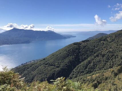 © Enrico SchneiderUtworzono dnia 27.09.2022
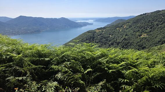
 © Andreas WaldUtworzono dnia 18.07.2025
 © alessio negriUtworzono dnia 15.02.2025
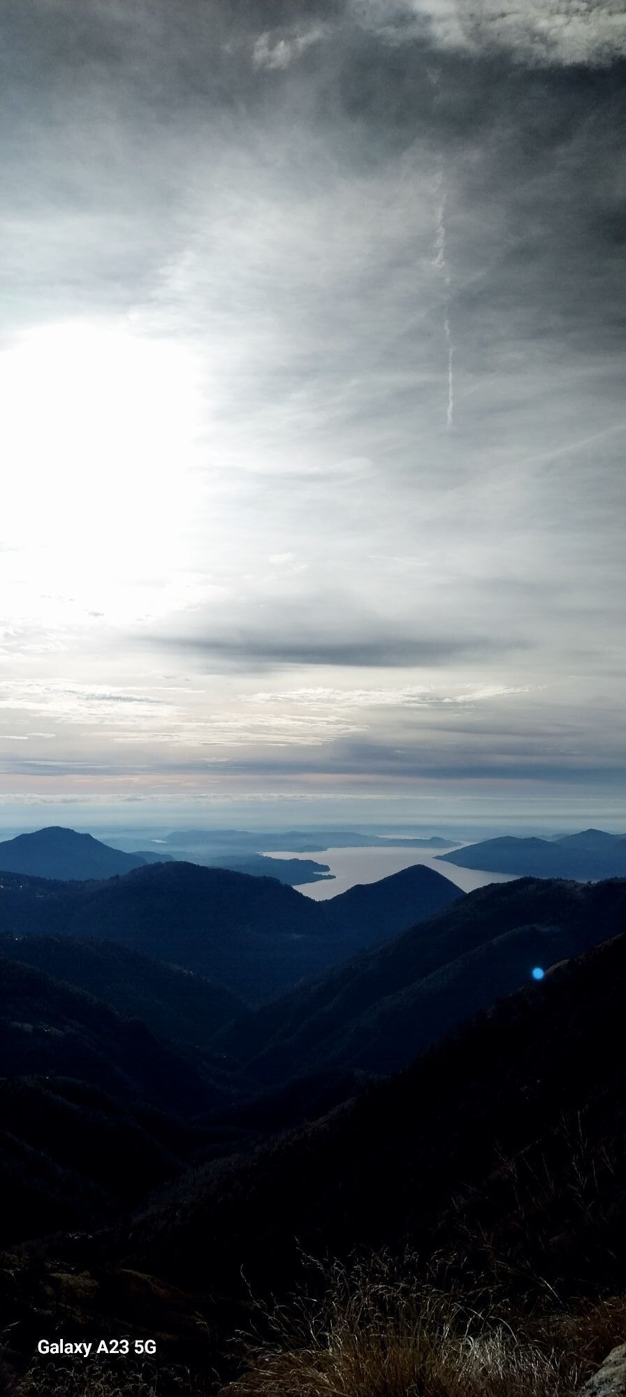
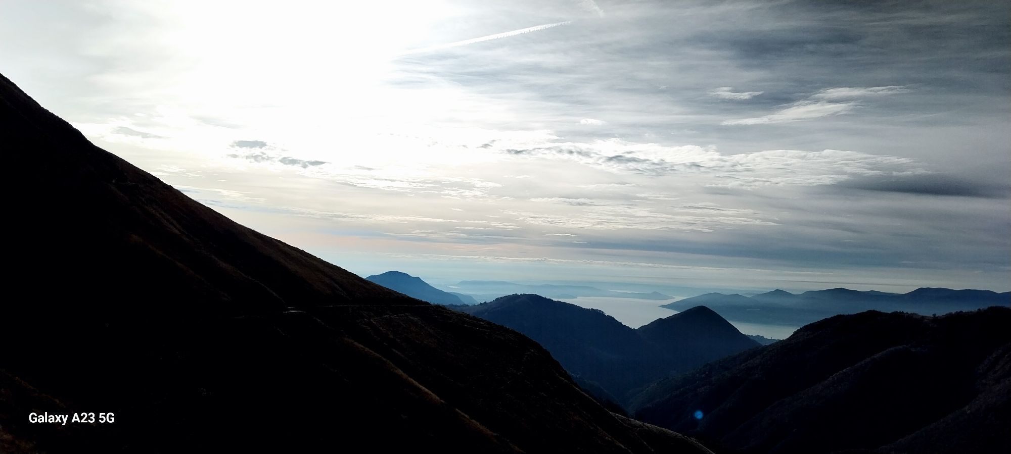
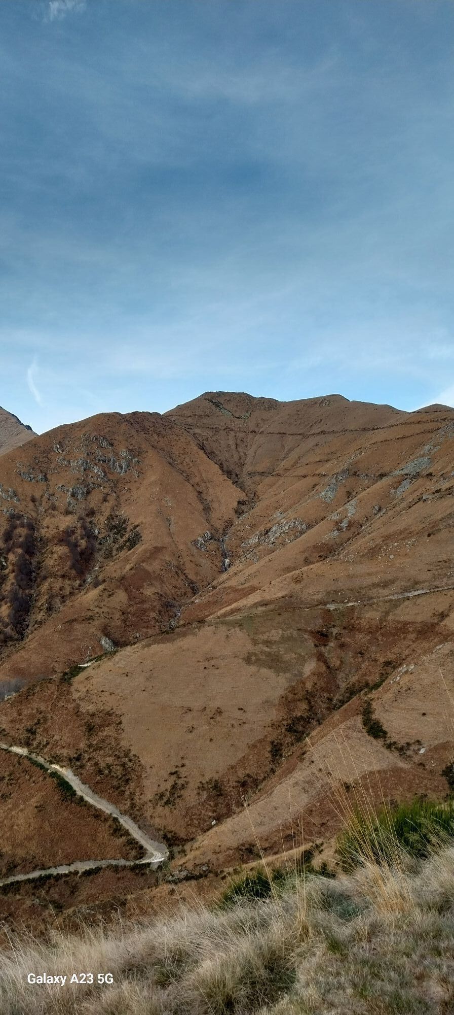
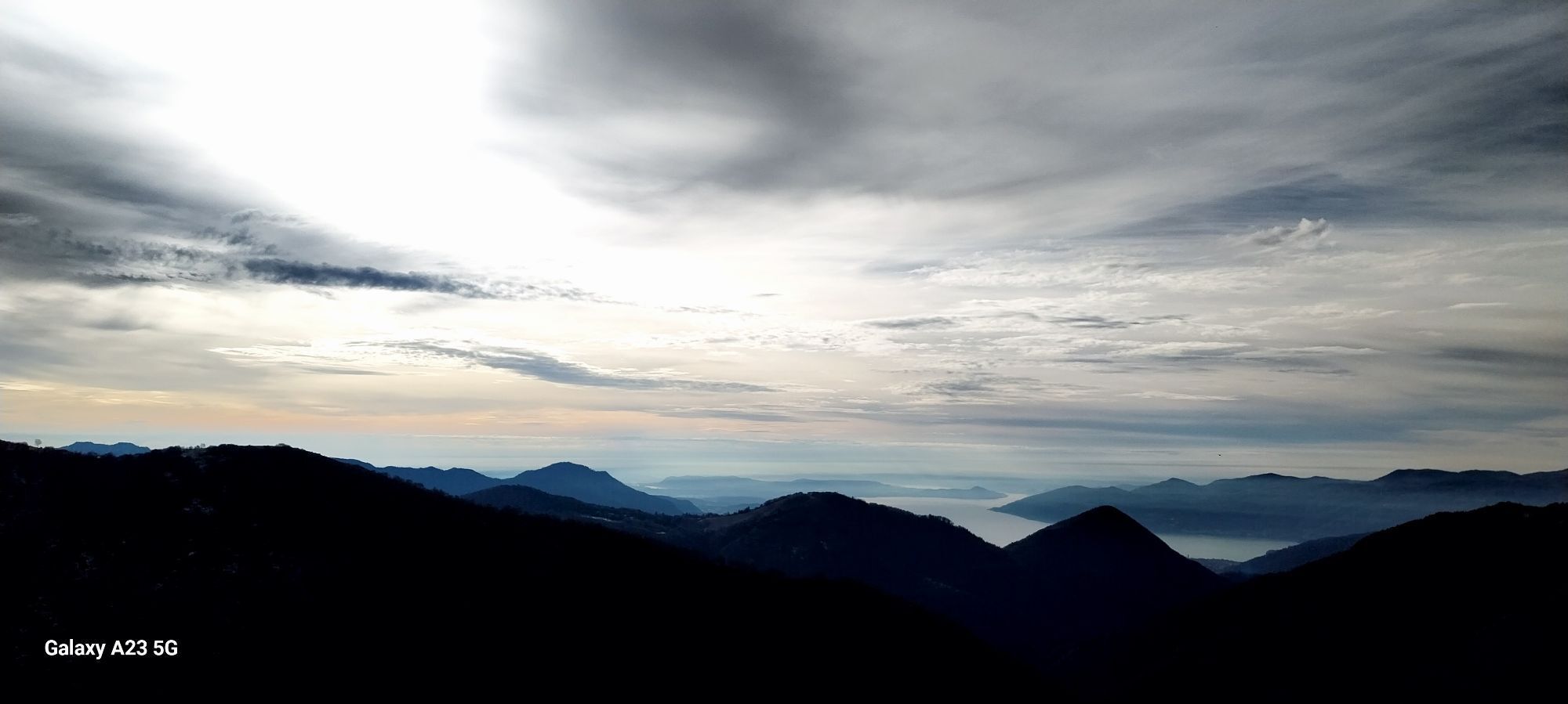
 © MauroUtworzono dnia 30.11.2025
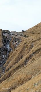 © MauroUtworzono dnia 30.11.2025
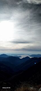 © MauroUtworzono dnia 30.11.2025
 © MauroUtworzono dnia 30.11.2025
 © MauroUtworzono dnia 30.11.2025
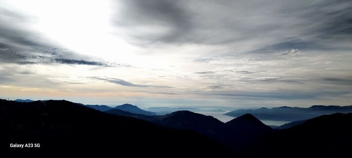 © MauroUtworzono dnia 30.11.2025
 © MauroUtworzono dnia 30.11.2025
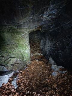
 © AnerUtworzono dnia 21.09.2025
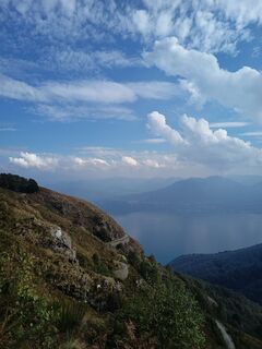 © AnerUtworzono dnia 21.09.2025
 © AnerUtworzono dnia 21.09.2025
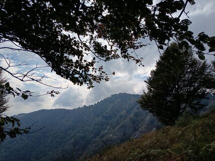 © AnerUtworzono dnia 21.09.2025
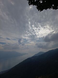 © AnerUtworzono dnia 21.09.2025
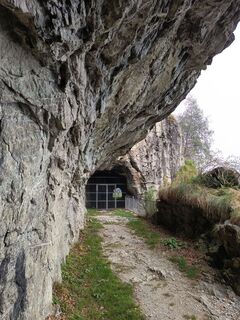 © AnerUtworzono dnia 21.09.2025
 © AnerUtworzono dnia 21.09.2025
 © AnerUtworzono dnia 21.09.2025
 © AnerUtworzono dnia 21.09.2025
 © AnerUtworzono dnia 21.09.2025
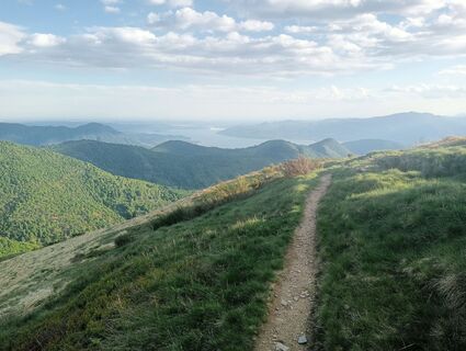
 © simone ravasiUtworzono dnia 15.05.2025
 © simone ravasiUtworzono dnia 15.05.2025
 © simone ravasiUtworzono dnia 15.05.2025
 © simone ravasiUtworzono dnia 15.05.2025
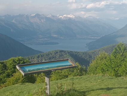 © simone ravasiUtworzono dnia 15.05.2025
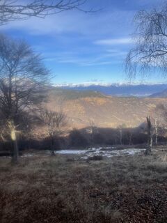
 © Christof SeckingerUtworzono dnia 05.01.2023
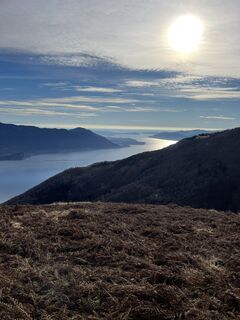 © Christof SeckingerUtworzono dnia 05.01.2023
 © Christof SeckingerUtworzono dnia 05.01.2023
 © Christof SeckingerUtworzono dnia 05.01.2023
 © Christof SeckingerUtworzono dnia 05.01.2023


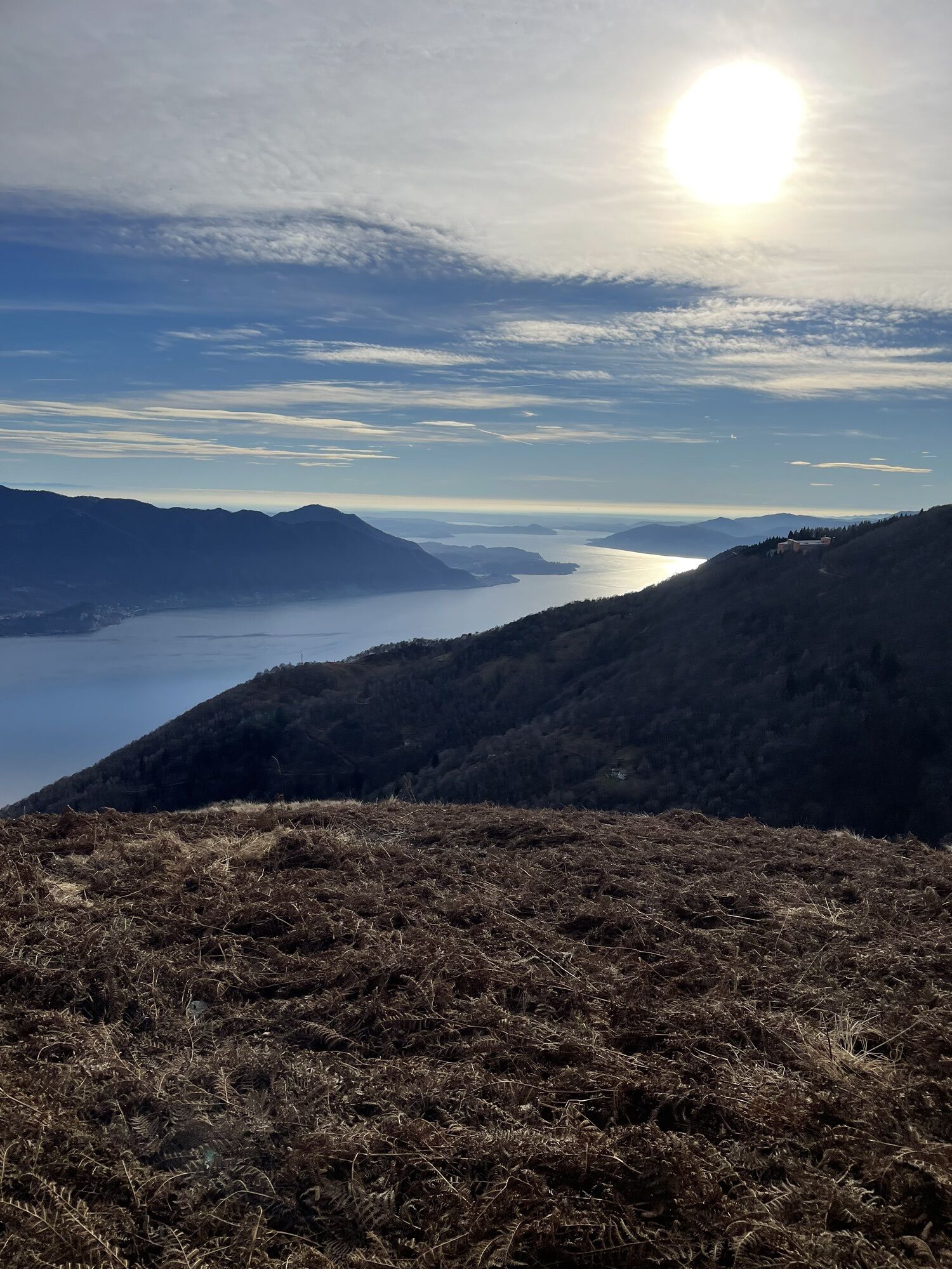
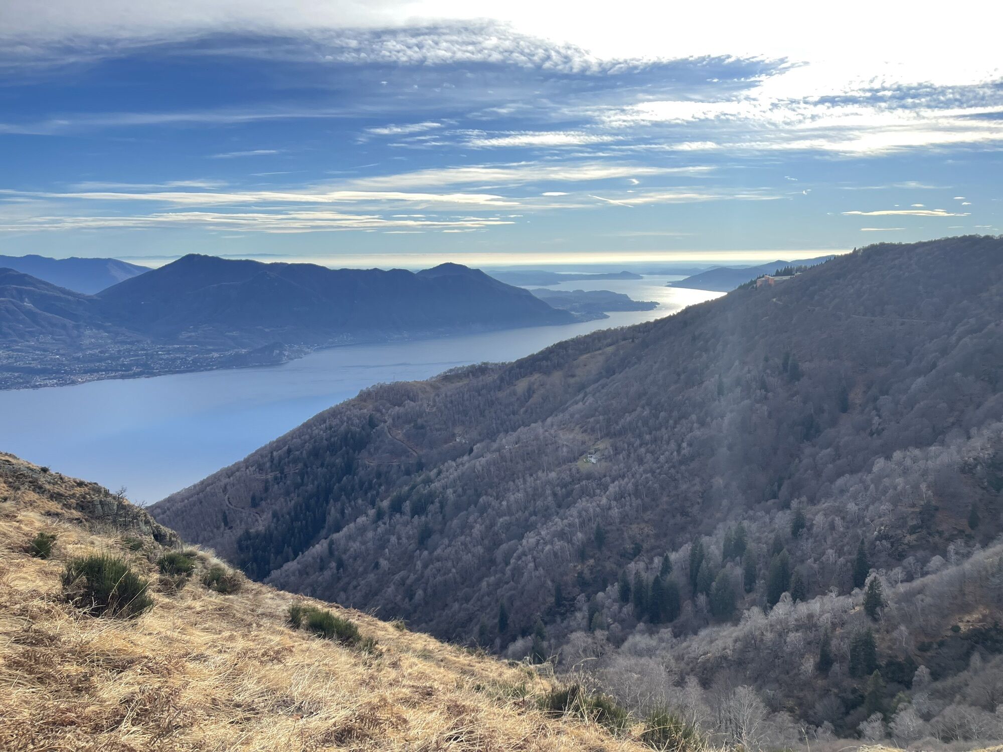
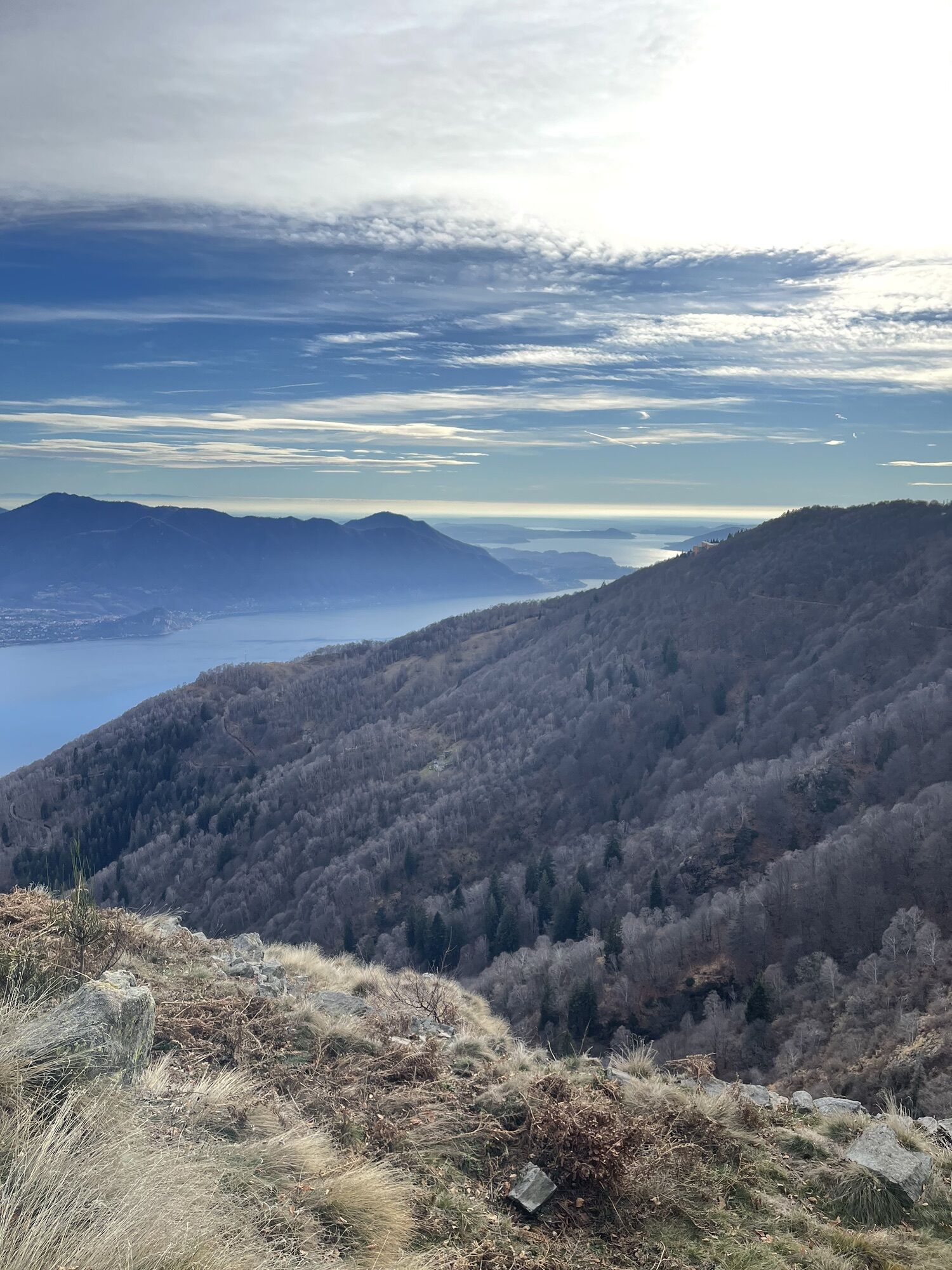
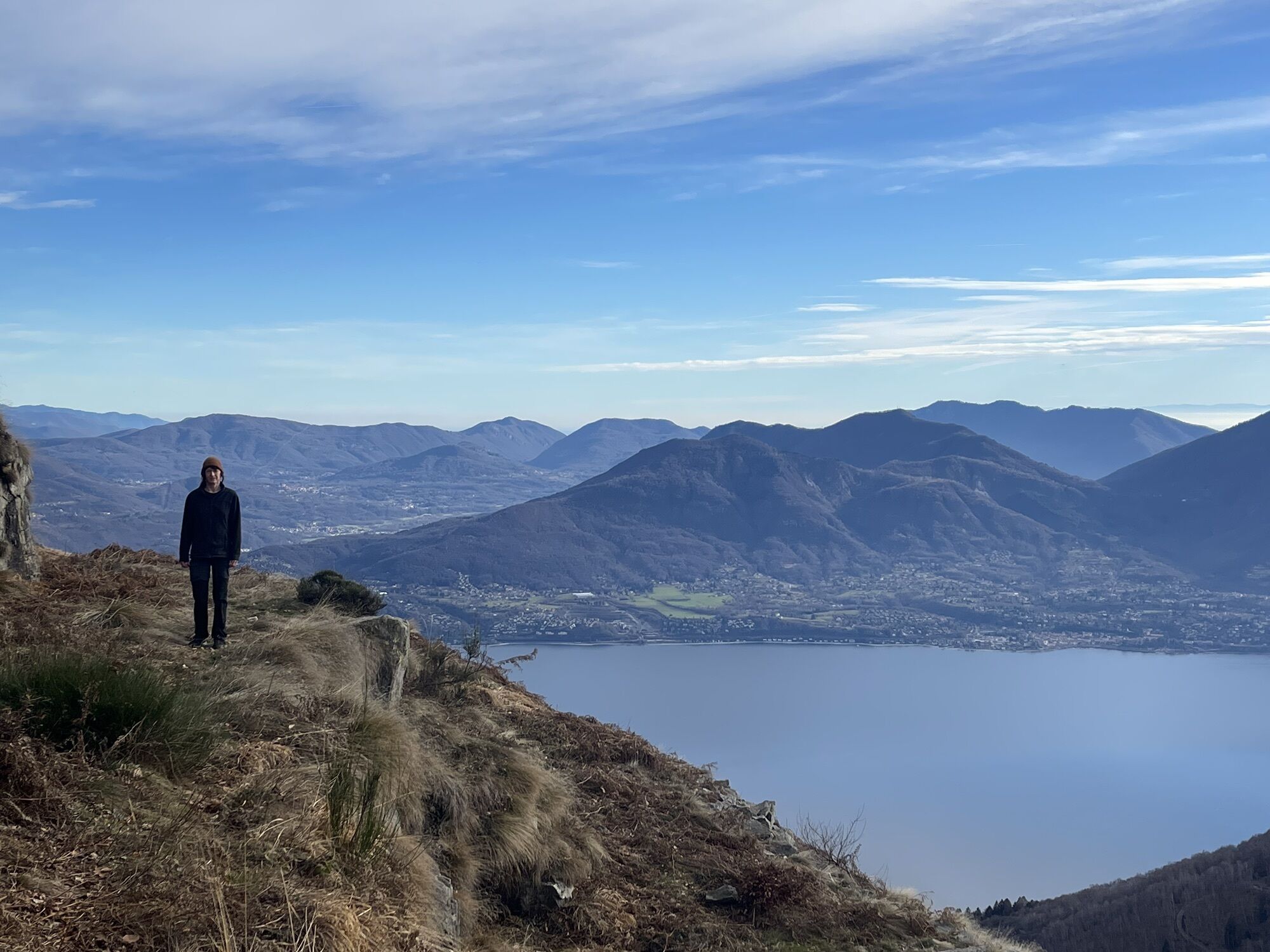
The Cadorna Line is the defensive system that was built near the Swiss border during the First World War at the behest of General Luigi Cadorna, Chief of Staff of the Army. The immense defensive structure,...
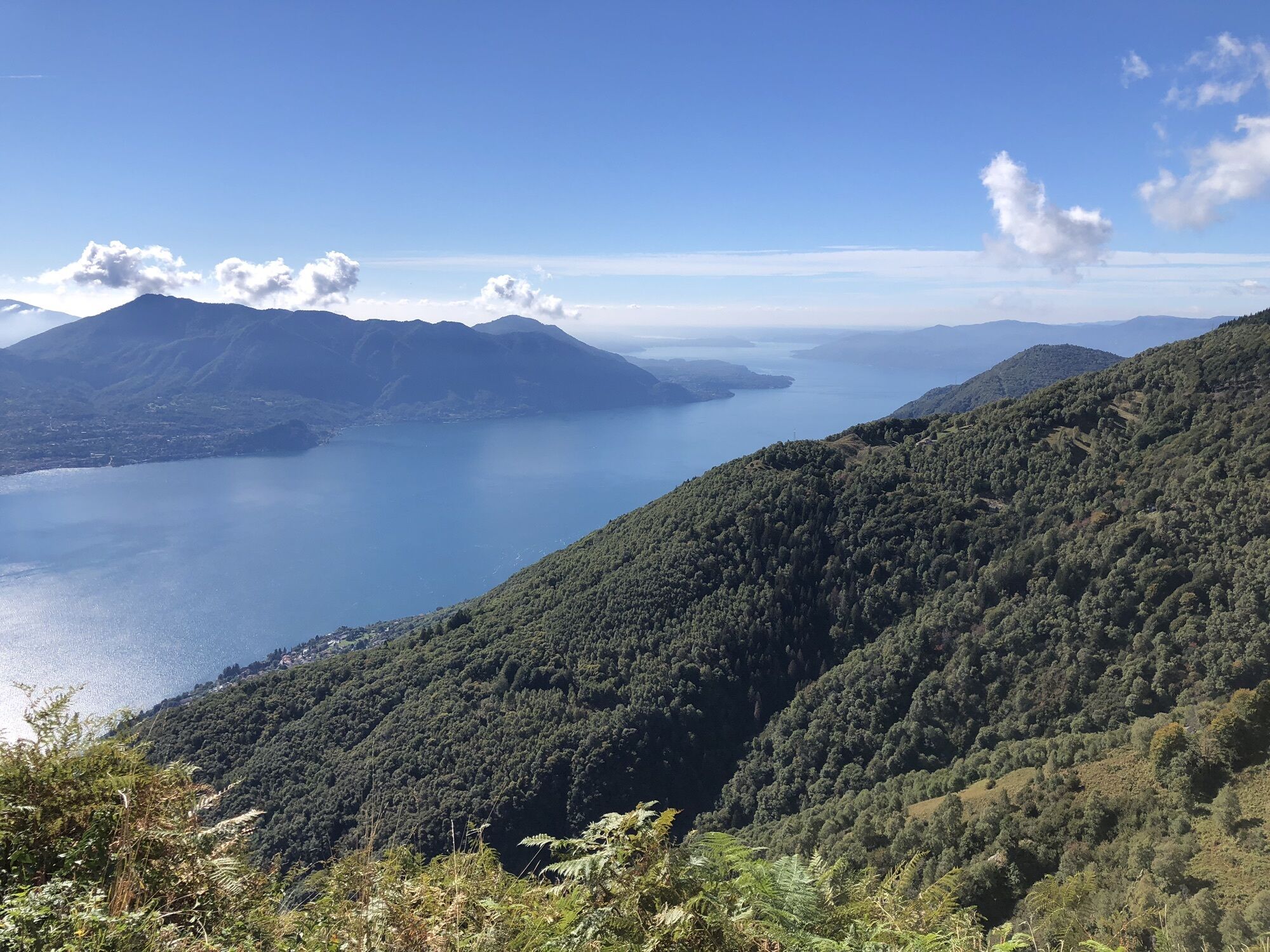
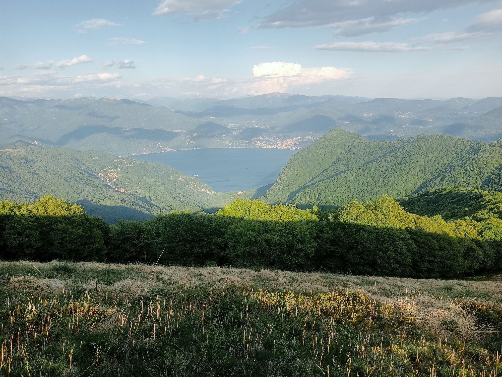
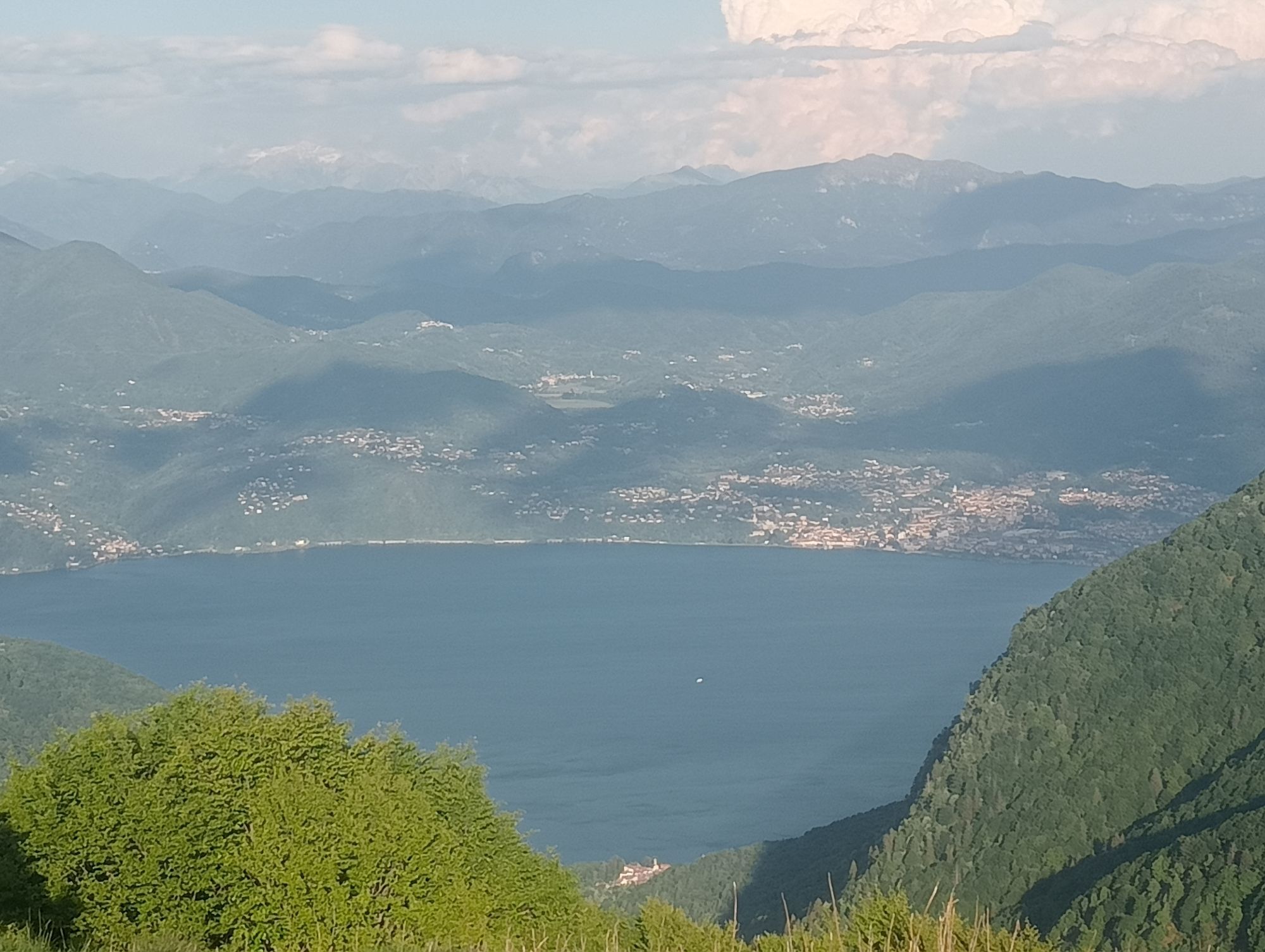
The Cadorna Line is the defensive system that was built near the Swiss border during the First World War at the behest of General Luigi Cadorna, Chief of Staff of the Army. The immense defensive structure, built between the summer of 1915 and the spring of 1918, extended from Ossola to Verbano up to Lombardy, becoming a dense network of military roads and mule tracks, trenches, artillery positions, lookout points , barracks, small hospitals and logistic structures. The works were carried out by local masons and stonemasons and women also played a fundamental role, especially in the transport of materials and supplies to the construction sites. The Cadorna Line was never used for war purposes and today this former military road is a historical and naturalistic heritage that offers routes for almost the whole year.


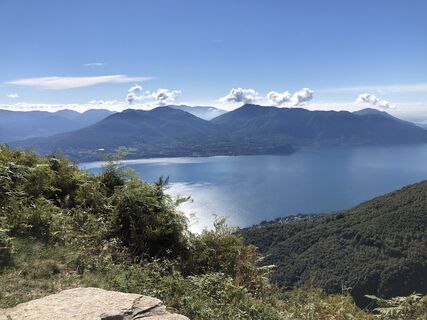
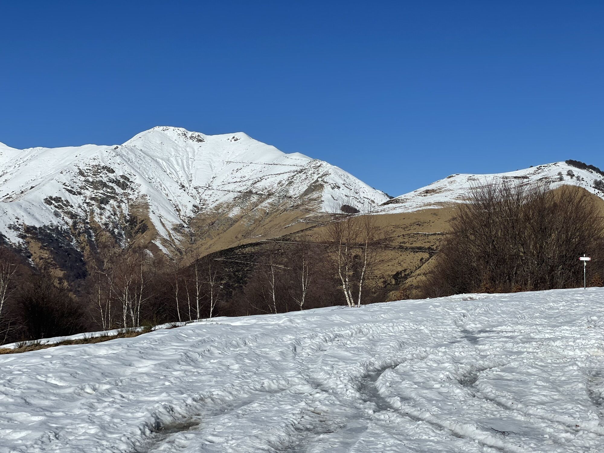
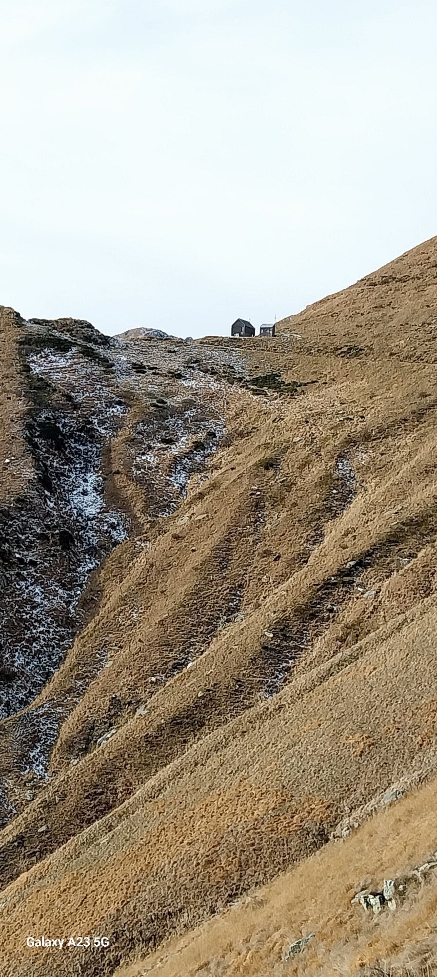
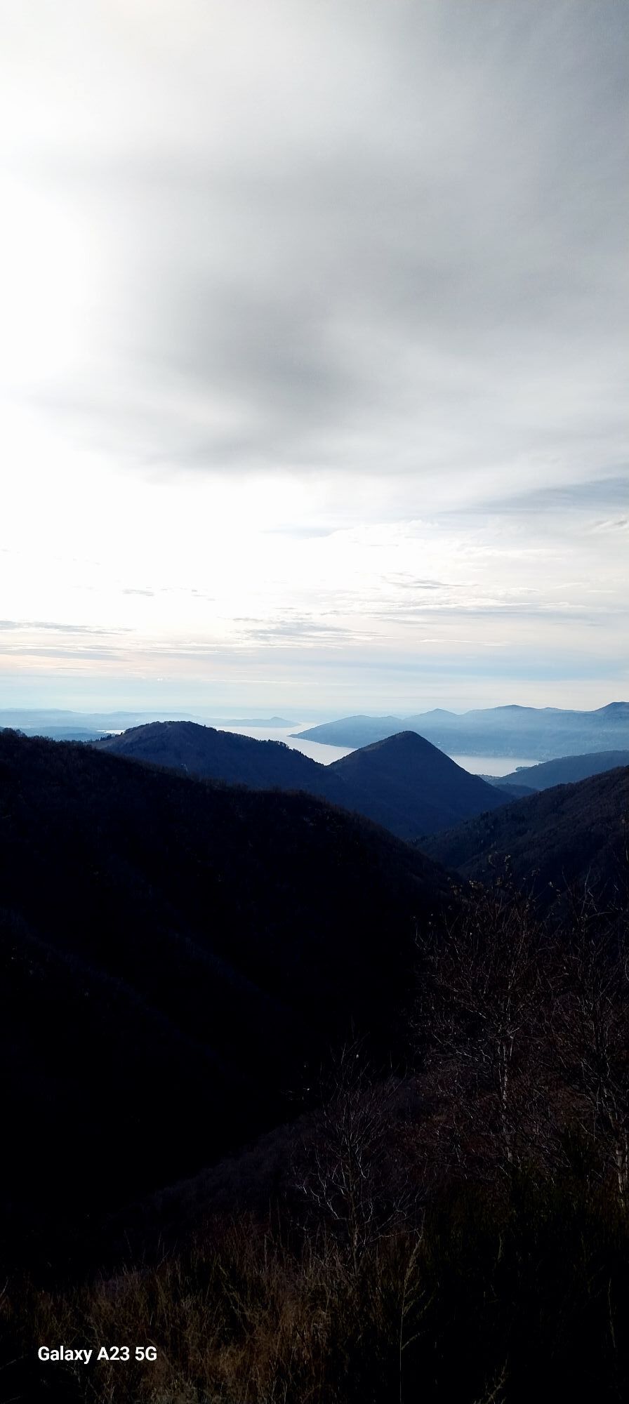
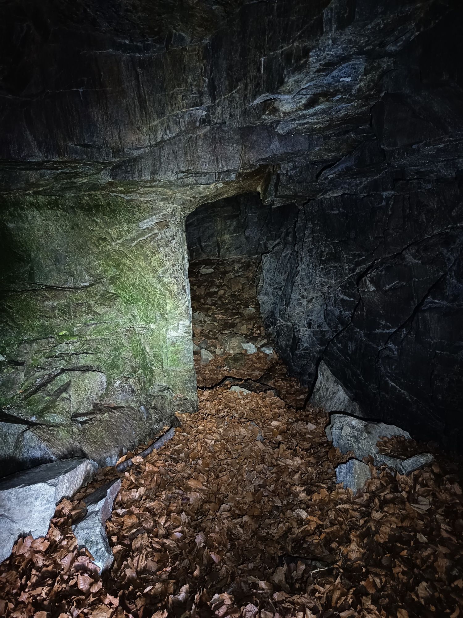
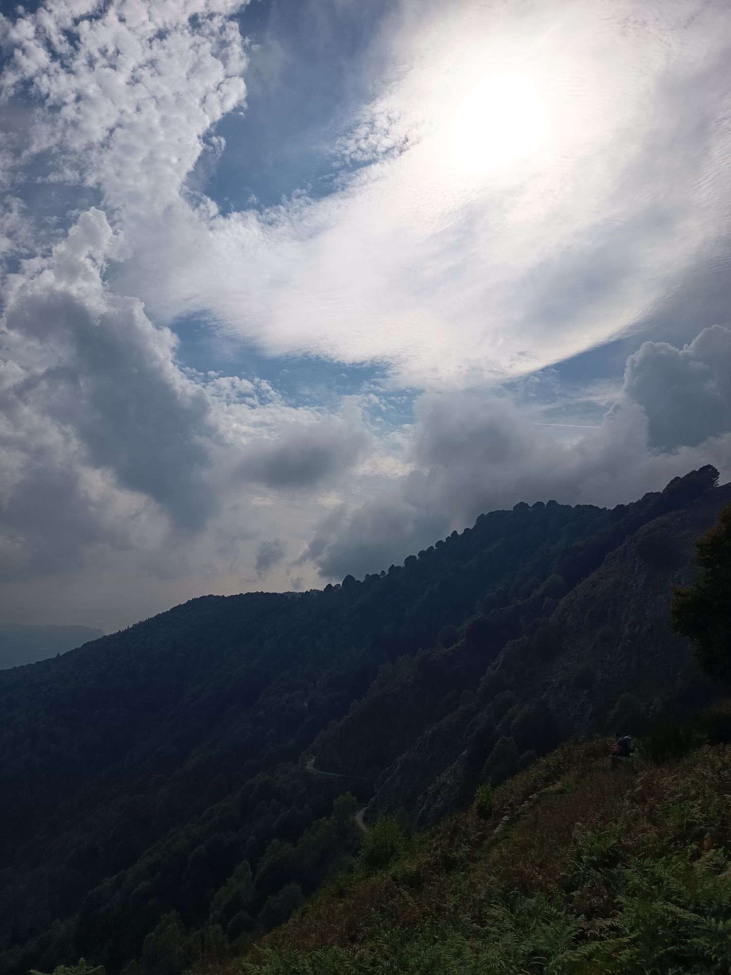
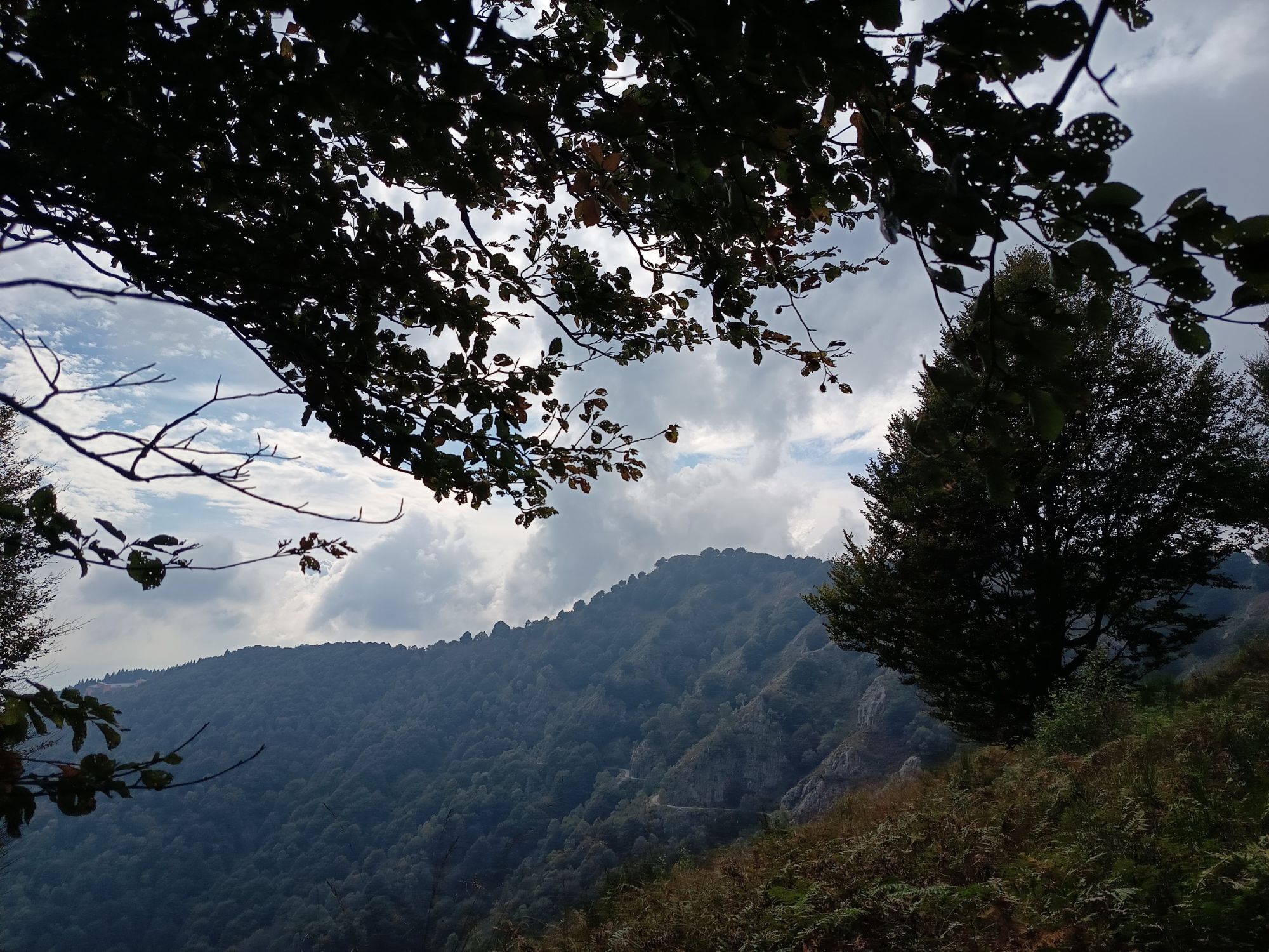
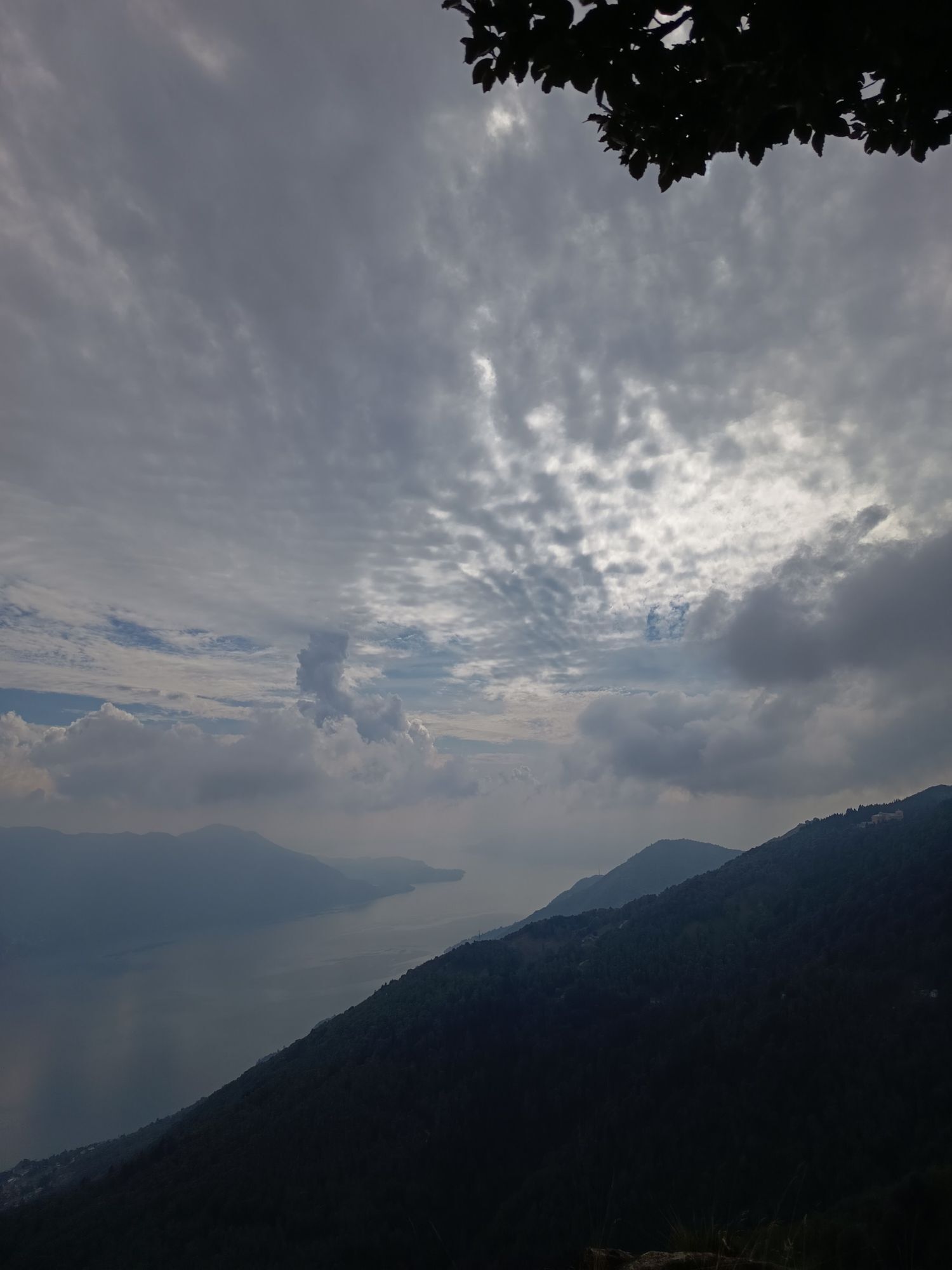
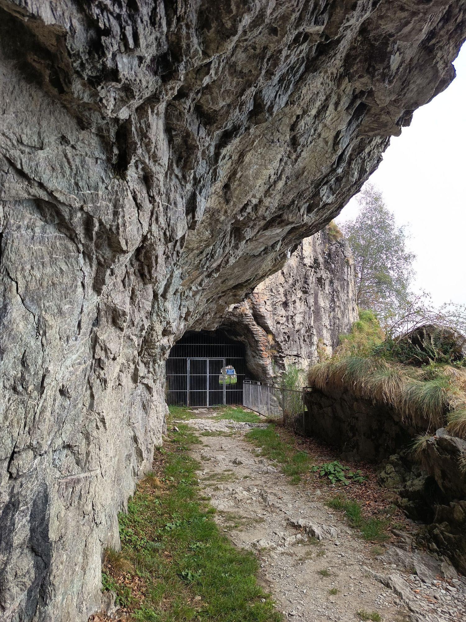
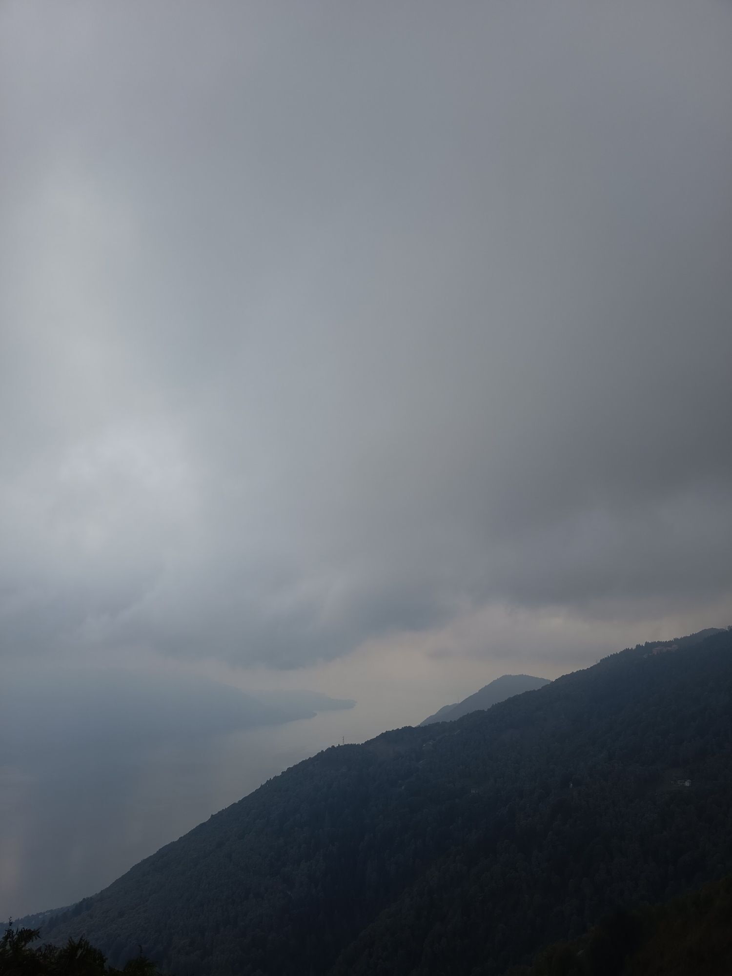
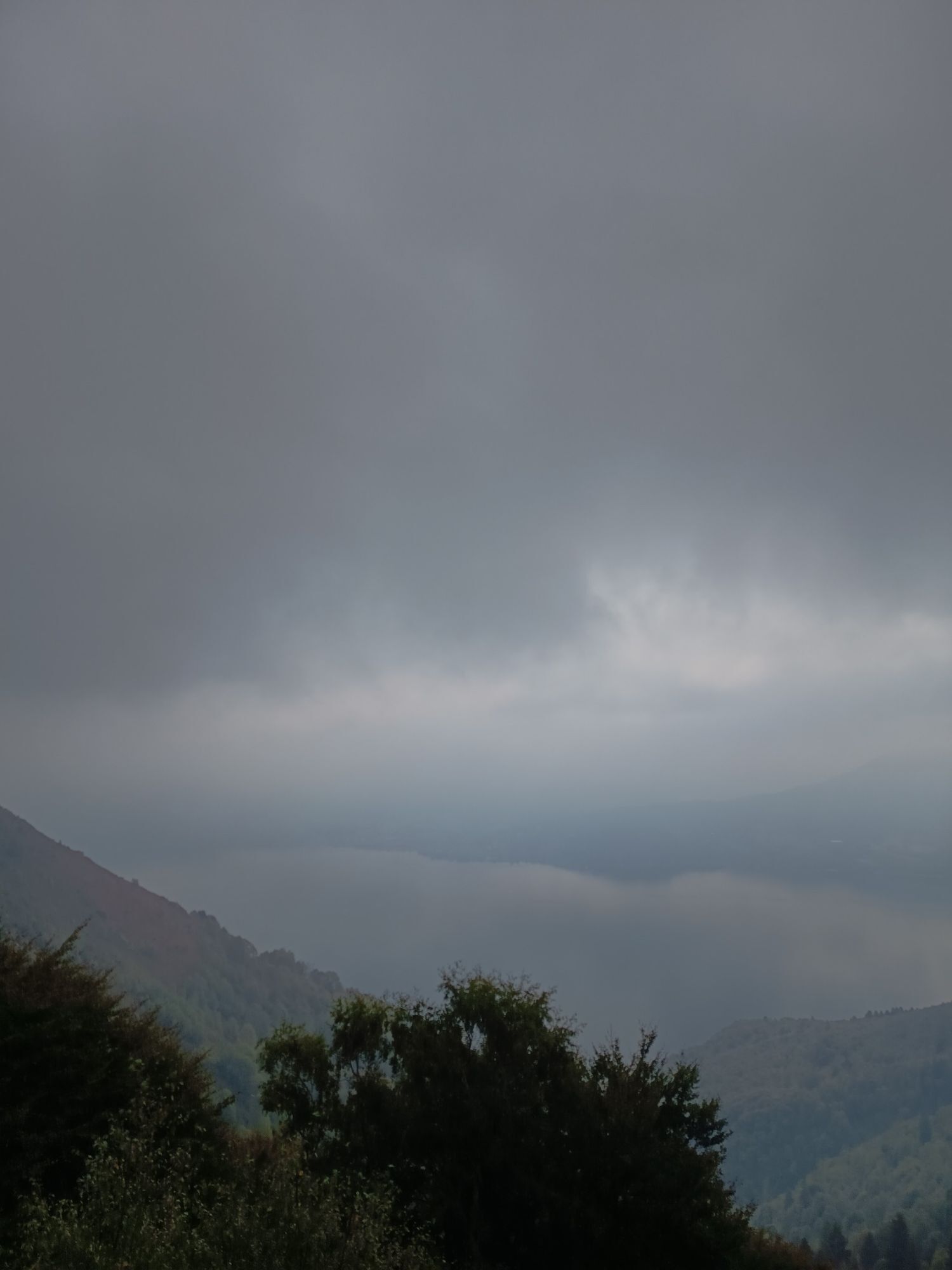
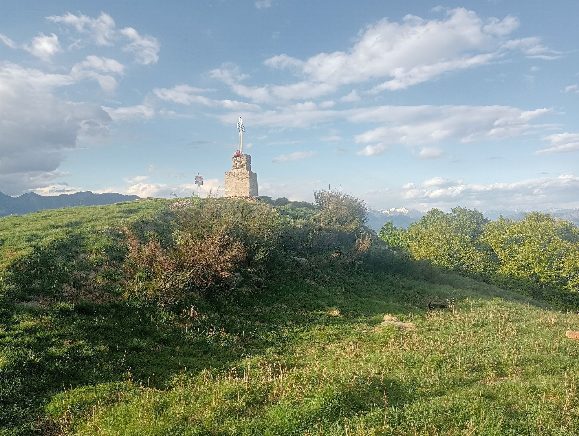
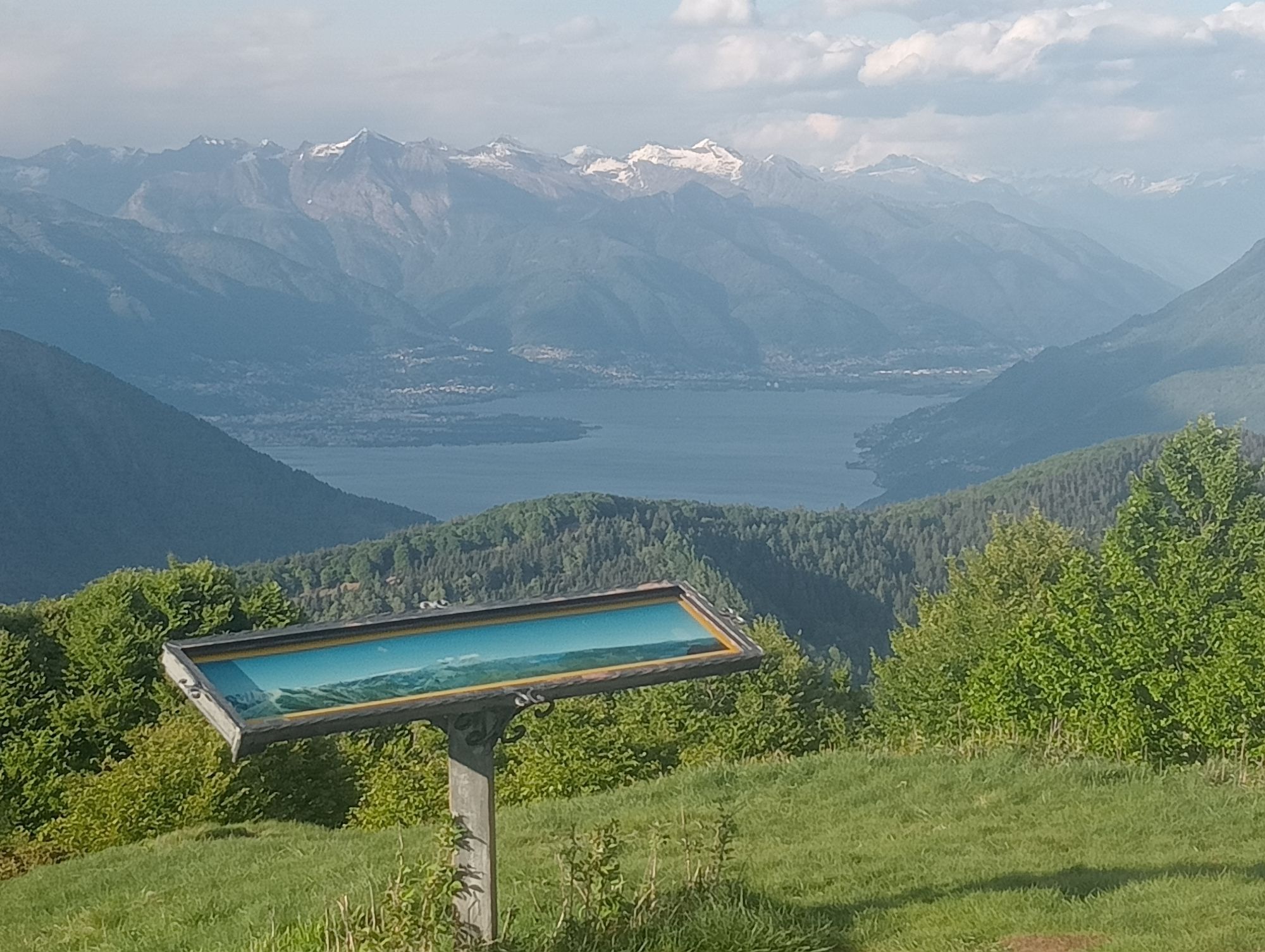
We start from the large Piancavallo car park (Municipality of Oggebbio), near the Auxologico Institute: on the right, we continue slightly uphill for a few dozen meters, then we turn right, first on asphalt and then on dirt, passing next to the fence and the small church of the hospital structure.At the end of the fence, we continue quickly for a little more than 2 km "halfway up the hill", with the right side almost overhanging Lake Maggiore, until we reach the entrance to the fortified tunnels of Morissolo. We go back for about ten meters, turn right and go up for a few meters; a series of signposts indicate the route to follow: on the left, we proceed towards Alpe Colle, while on the right, we go up, on foot, along the ridge that leads to the top of Monte Morissolo and its three crosses, from which we can enjoy a unique view of Valle Cannobina, Canton Ticino, Lake Maggiore and its Lombard shore.Continuing towards Colle, the path is quite wide and flat in the first part, becoming narrower as you enter the beech forest, until you come out in the small square of Alpe Colle, right next to the fountain. Here the signs are helpful, but if that were not enough there is also a huge white writing on the wall indicating the direction for "Spalavera", right on the right of the square with the monument and the Italian and European flags always present.At the exit from Colle a wide dirt road opens up, initially shaded and then increasingly open and panoramic, with white birch trees surrounding it. The road soon gives way to the path, supported by dry stone walls still well preserved, which leads to the top of Monte Spalavera. Be careful of the ground, which is not always compact and homogeneous. The path continues with one last rough patch at the end. The effort is however amply rewarded by the panorama that can be enjoyed from the top of Monte Spalavera, from its height of 1534 m.a.s.l. and its strategic position. The descent develops within a cool (especially in summer) and lush beech forest and ends in a large clearing that is also a sort of crossroads. Continuing on the left towards Pian Puzzo you soon find another junction that, passing through Archia, leads along a comfortable dirt road to Passo Folungo and then to the Vadà refuge, where there is also a bivouac, always open, and a comfortable fountain. The dirt road ends in Colle and with it also the descent and the false-flat; in fact, if you decide to shorten and arrive quickly at Piancavallo, take the SP 56 on the right and, through a lush beech forest that constantly climbs, you go over the hill and then quickly descend to the car park. Otherwise, from Colle you retrace the outward route, passing through Morissolo again and arriving at Piancavallo along the comfortable dirt road.
Tak
Be careful on high-altitude routes in case of nerves.
The junction of the road system is the capital Verbania (easily reachable from Milan, Turin, Genoa via the A 26 motorway), as well as from nearby Switzerland (from Ticino along the ss. n. 34, from Valais through the Simplon pass). From Verbania (along the provincial road that goes up towards Premeno, Piancavallo) you reach the crossroads of Colle, after traveling 25 kilometres. All the hiking and cycle-pedestrian opportunities start from here
S1
POINTS OF INTEREST
Italian Auxological Institute, fortified Morissolo galleries, trenches on Monte Spalavera, various testimonies of war artifacts from the Cadorna Line, several panoramic points (three crosses above the Morissolo galleries, summit of Monte Spalavera, Pian Vadà, Pian d'Arla), starting point of the Lake Maggiore ZIP Line at Pian d’Arla.
Popularne wycieczki w okolicy
- 3,8
Cannobio zu Sant’Aagata
światłoWędrówka 5,85 km - 4,0
Cicogna, Strada Sutermeister, Alpe Pogallo, Alpe Pra, Cicogna
średniWędrówka 9,83 km - 5,0
Himmel
średniWędrówka 12,7 km - 4,2
Um den Lago di Mergozzo
Wędrówka 7,93 km - 5,0
Lakeside Maggiore Route
ciężkiDroga rowerowa 162,8 km - 4,3
Pian Cavallone
światłoWędrówka 7,55 km - 4,3
Collegiata di San Vittore - Cannobio - Chiesa di San Gottardo - Trarego Viggiona
średniWędrówka 7,21 km - 5,0
Mergugno: in the yellow forest
średniWędrówka 6,44 km - 4,0
Schöner Höhenweg über dem Lago Maggiore
średniWędrówka 11,0 km Monte Faiè
średniWędrówka 6,37 km

Wędrówki i tropienie


Nie przegap ofert i inspiracji na następne wakacje
Twój adres e-mail została dodana do listy mailingowej.