


The most beautiful Corrèze villages... and the most beautiful climbs
Poziom trudności: 4
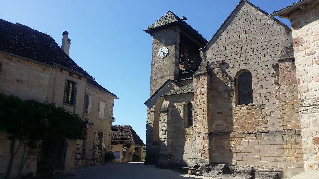
The route starts from Beaulieu-sur-Dordogne, the first gem of the course. Enjoy the bucolic banks of the Dordogne, because barely out of the village, we start the first challenge of the day, the climb...
The route starts from Beaulieu-sur-Dordogne, the first gem of the course. Enjoy the bucolic banks of the Dordogne, because barely out of the village, we start the first challenge of the day, the climb of Sioniac. Here we go, 4 km of climbing at about 6%, and at the top a view first of the village of Sioniac and then of the entire Brive basin.

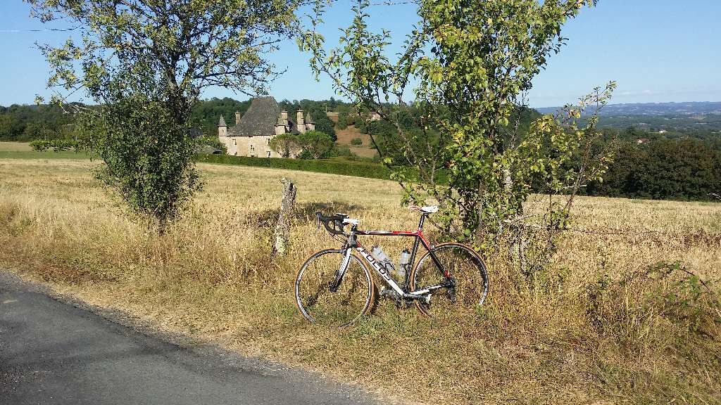
Hardly time to catch your breath, we go down towards Queyssac-les-Vignes, and at the bottom near the small bridge, we take a very small road right through Doumazac. Just over 8 km done and we've already tackled nice climbs and beautiful landscapes...
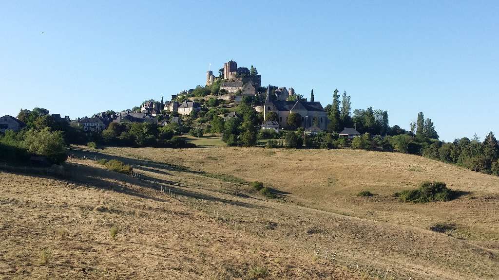
Then we go down to La Chapelle-aux-Saints (known for its Neanderthal man, discovered at the beginning of the 20th century) to arrive at the foot of Curemonte. A steep wall allows access to this superb medieval village.
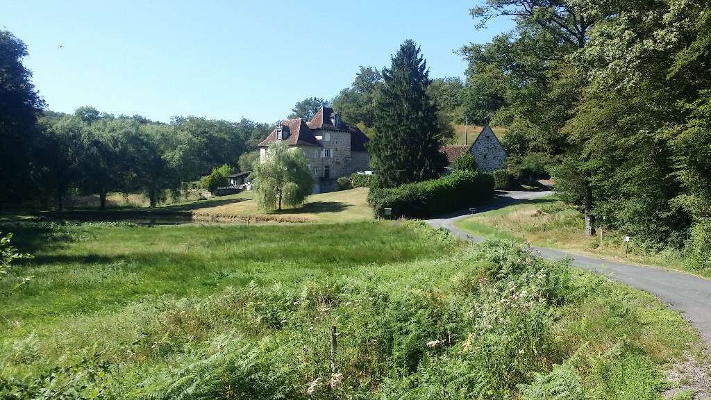
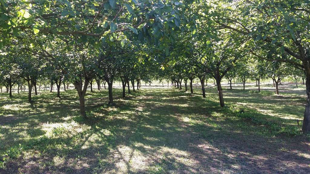
Then follows about ten quiet kilometers through the small vineyards of Branceilles and the omnipresent walnut groves. We arrive at Saillac, a lovely village with its walnut museum and press. At the exit of the village, a steep climb leads up: superb view with the Château de Larue in the foreground, and on the opposite side the famous Château de Turenne…
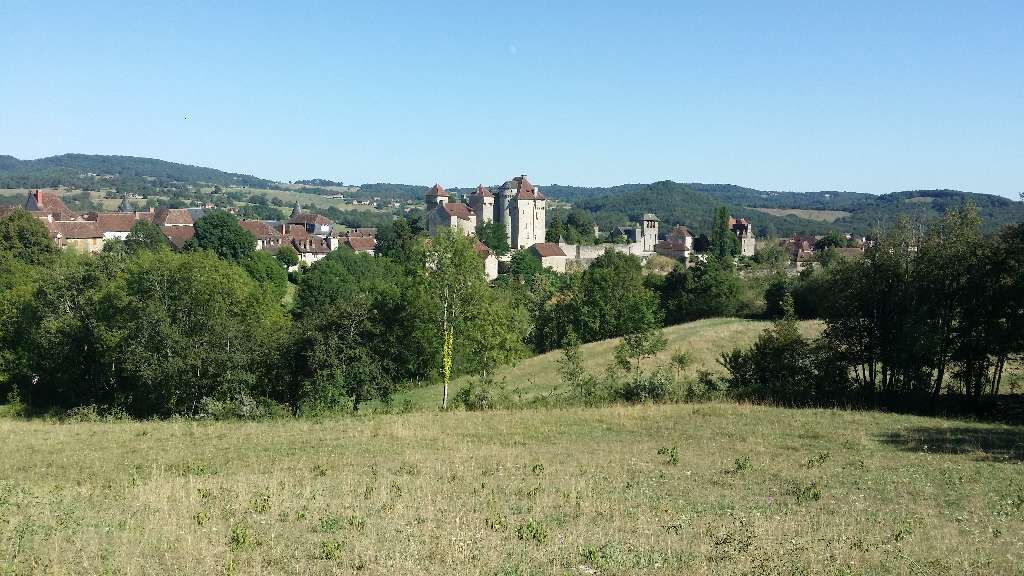
Next, we go down then climb again towards Lygneyrac, then descend again to the bottom of Turenne. We pass along a pretty pond, then take the road to Brive to climb up to Turenne, with a bit more traffic. The arrival in Turenne is magnificent, with views of the castle dominating the region. We cross the viscount’s village, a good opportunity for a break before considering closing the loop.
After descending from Turenne, we cross the stream called the “Tourmente” (just to remind you there’s still a way to go…) then take little roads to join a busier route leading to Collonges-la-Rouge. Be careful, it climbs to get there. What to say, another superb, unique village to discover alley by alley, house by house…
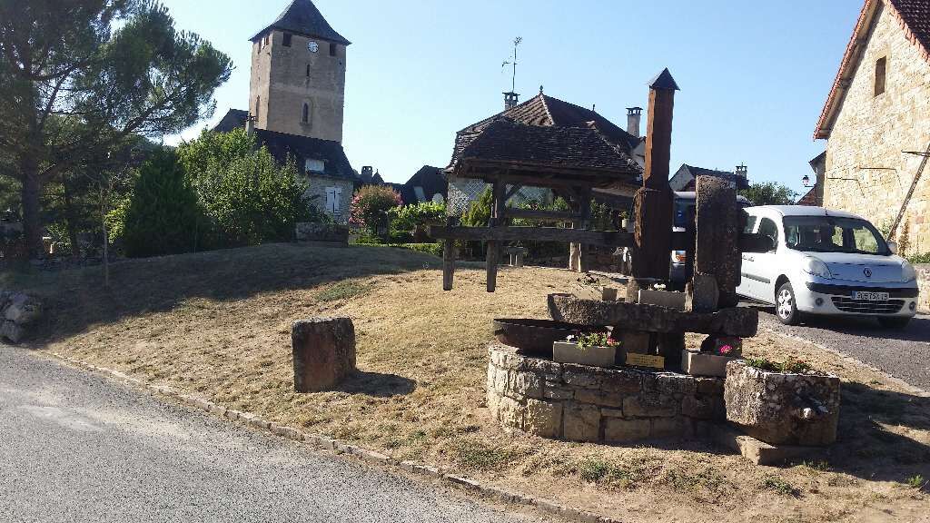
After Collonges, we pass through the center of Meyssac, and take very small roads again for about ten kilometers. Then the last climb of the day, with sections at 15-20% in the first 500 meters followed by more steady ascent. We are in Puy-d’Arnac, the land of volcanoes.
All that remains is to follow the ridge and descend to Beaulieu, with a commanding view over the village before arriving…
A bike in good condition and well equipped helps ensure your safety as well as that of other road users.
Before you leave:
Make sure the bike is in perfect mechanical condition, including tires and brakes Ensure the bike is properly adjusted to your body shape Wearing a helmet is strongly recommended Take a repair kit with you Remember that the Highway Code applies to cyclists at all times Never ride more than two abreast and move into a single file when traffic conditions require it Respect other road users as you would like them to respect you Choose a route suited to your physical abilities Inform those around you about your itinerary Check the weather conditions An emergency first aid kit is not essential, but can be very useful Inform yourself and keep emergency contact numbers. Respect the environment by not throwing your food packaging on the roadside If you need to return at dusk, make sure to see and be seenEmergency number: 112
Consider carpooling
Public parking in front of the Tourist Office
4
Popularne wycieczki w okolicy
- 5,0
Around the castles
światłoWędrówka 6,83 km GR® de Pays du Midi Corrézien
średnidługodystansowy szlak pieszy 117,8 kmThe Straw Wine and Castles Route
światłoDroga rowerowa 18,0 kmLeisure cycling route: the red stones
światłoJazda na rowerze 14,2 kmThe Route of Castles and Wine
światłoDroga rowerowa 34,0 kmAt the borders of Quercy
średniMountainbike 15,4 kmThe picturesque Dordogne
światłoDroga rowerowa 48,4 kmThe Roche de Vic Path
światłoMountainbike 16,4 kmThe Étang de Miel
światłoMountainbike 13,5 kmSpecial quiet roads in the South of Corrèze
średniDroga rowerowa 48,9 km
Wędrówki i tropienie


Nie przegap ofert i inspiracji na następne wakacje
Twój adres e-mail została dodana do listy mailingowej.