


Ith loop
Poziom trudności: 3


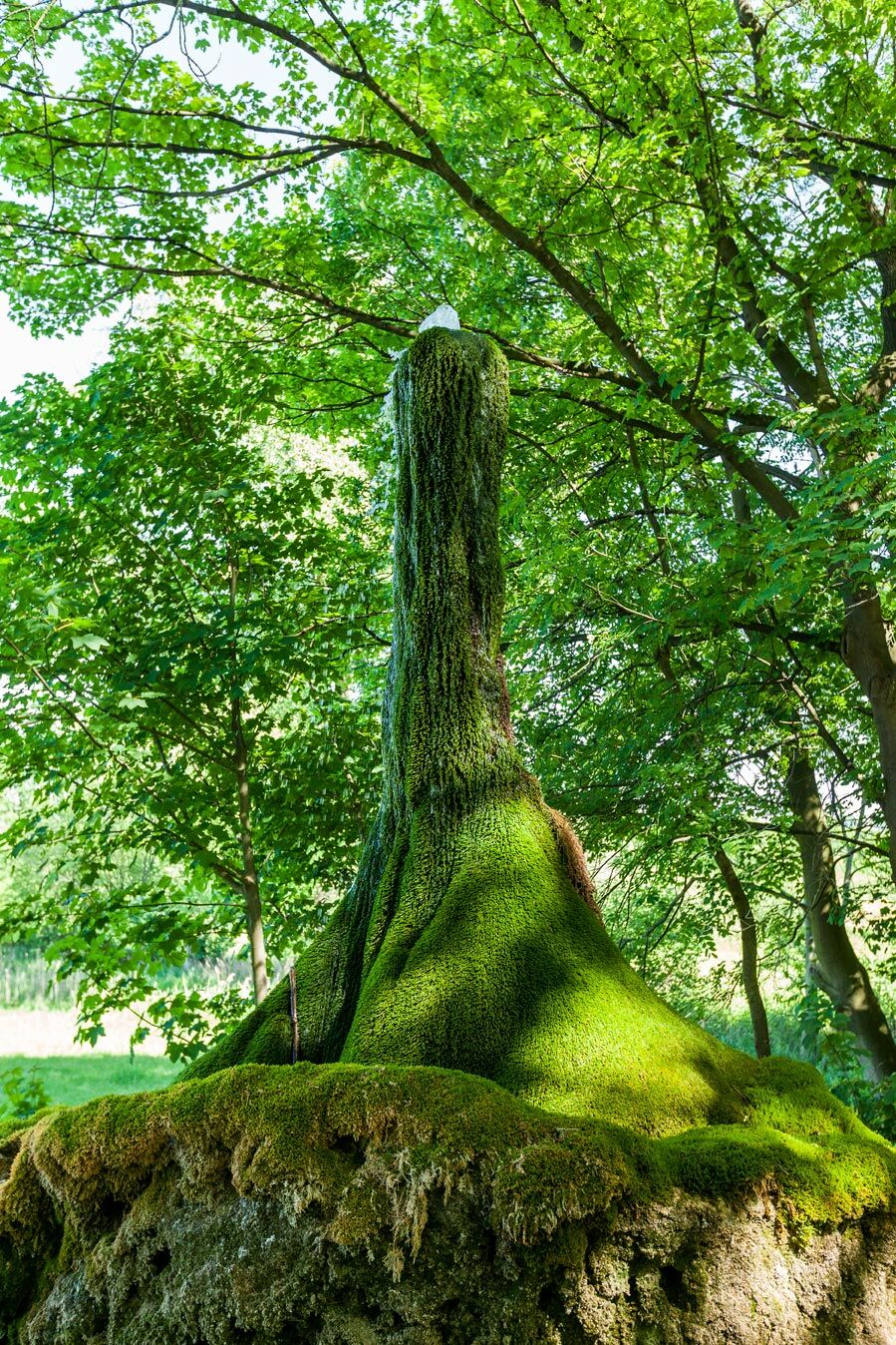
Zdjęcia naszych użytkowników
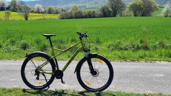
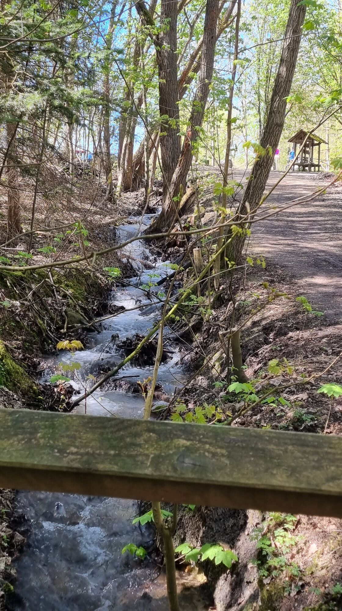
 © Axel SchmiechenUtworzono dnia 30.04.2023
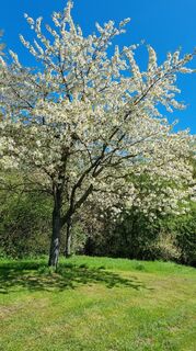 © Axel SchmiechenUtworzono dnia 30.04.2023
 © Axel SchmiechenUtworzono dnia 30.04.2023
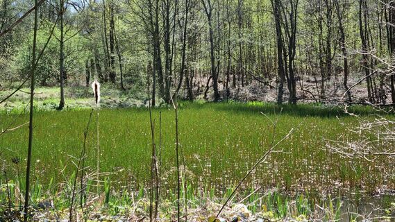 © Axel SchmiechenUtworzono dnia 30.04.2023
 © Axel SchmiechenUtworzono dnia 30.04.2023
 © Axel SchmiechenUtworzono dnia 30.04.2023
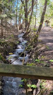 © Axel SchmiechenUtworzono dnia 30.04.2023
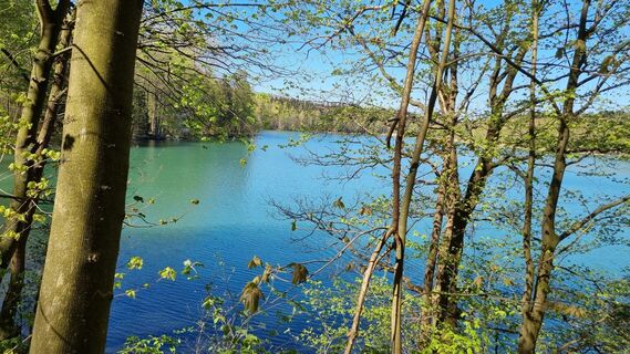 © Axel SchmiechenUtworzono dnia 30.04.2023
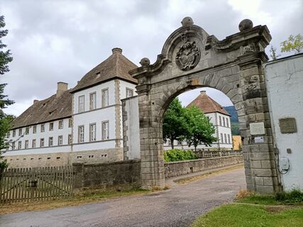
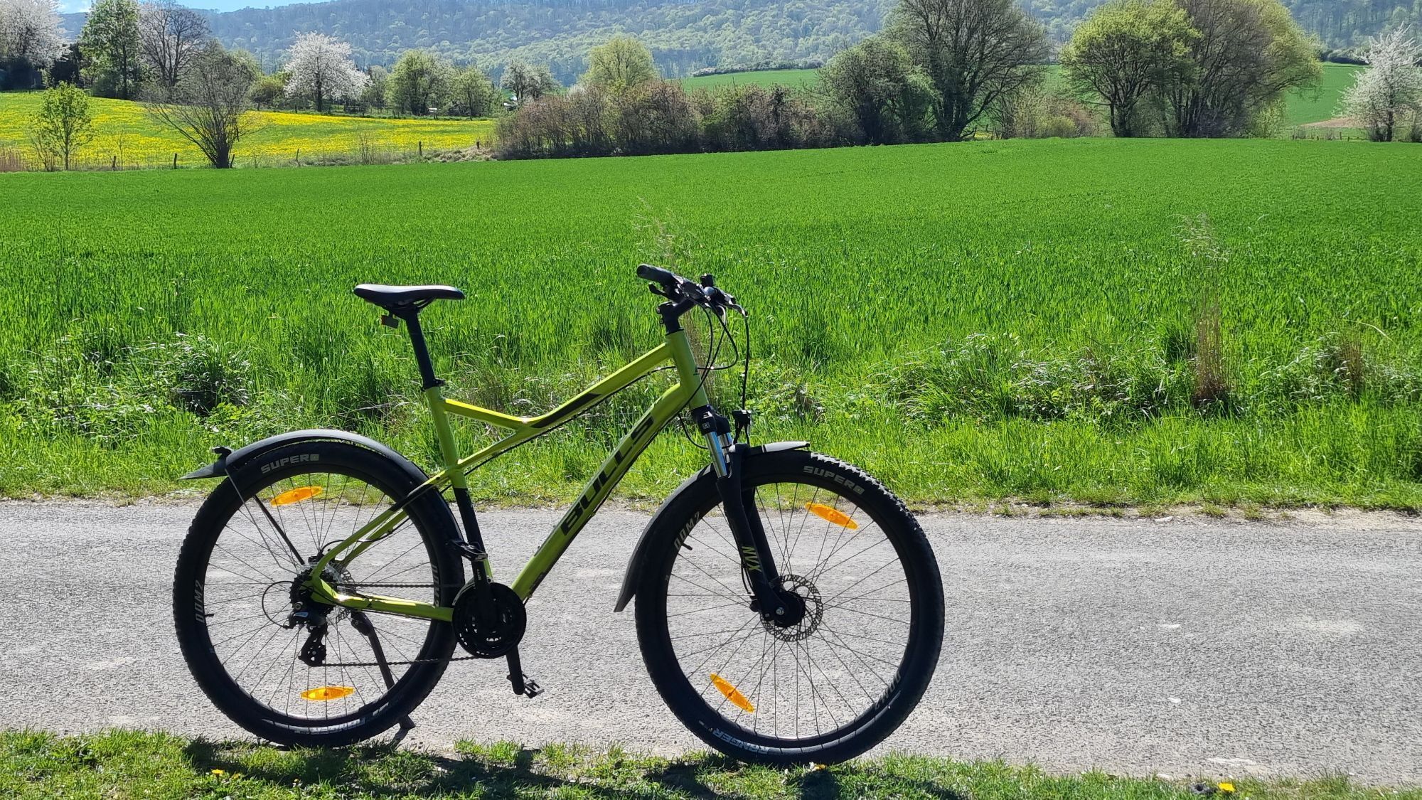
 © Kees KalkmanUtworzono dnia 07.07.2025
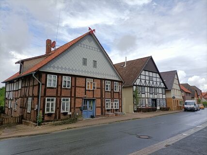 © Kees KalkmanUtworzono dnia 07.07.2025

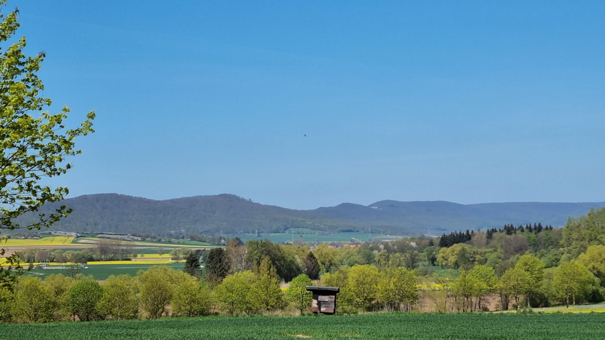

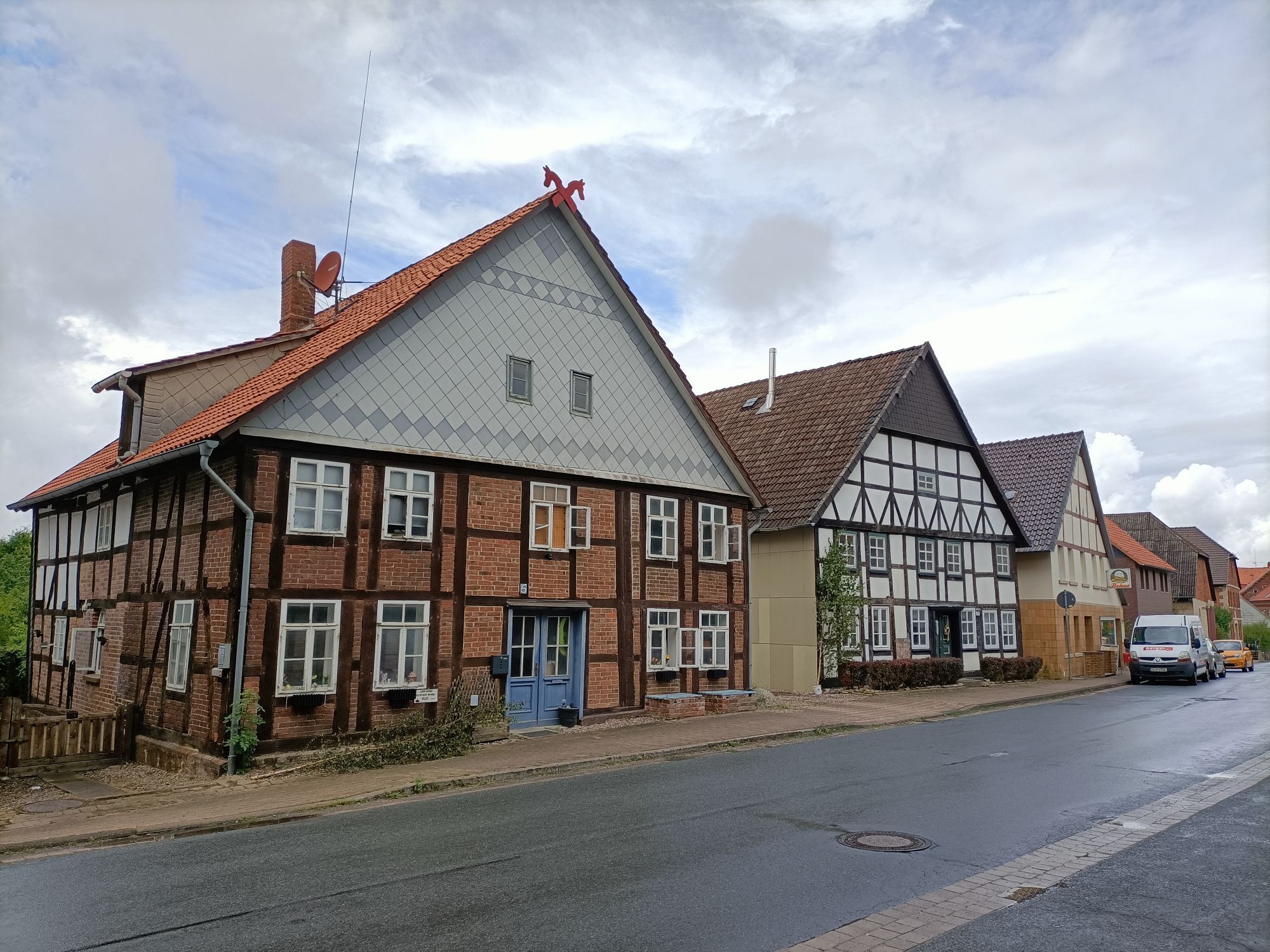
The region between Ith and Hils was already settled early and since the Middle Ages was repeatedly the subject of conflicts between competing noble families, the lords of Homburg and the counts of Spiegelberg,...
The region between Ith and Hils was already settled early and since the Middle Ages was repeatedly the subject of conflicts between competing noble families, the lords of Homburg and the counts of Spiegelberg, who built their castles here and asserted ownership claims. The wealth of natural resources – coal, clay, gypsum, salt, limestone, and sandstone – also shaped the region. About 400 years ago, small centers with early industrial production emerged around mining, glassworks, saltworks, brickworks, potteries, and quarries. Even today, the natural resources of the region are economically important.
The route places very different demands on the riders' fitness and endurance. On some sections, the use of e-bikes is recommended for less trained cyclists.

From Coppenbrügge, follow the field paths to Marienau. There, follow the signs towards Lauenstein. If you want to ride only the northern part of the Ith loop, cross Auhagenstraße (B 1) and follow the signs towards Salzburg (Station 15). Otherwise, from Hofspiegelberg take Rudorff-Straße to the town of Lauenstein. Along the slopes of the Ith, the path leads then towards Salzhemmendorf. From Salzhemmendorf, take the Kleine Lahweg to L 462. Cross it and continue on the main road southwards. At the edge of the town, follow L 462 towards Eggersen. If you want to ride only the middle part of the Ith loop, turn from the main road into Alleestraße; follow Osterstraße and the signs towards Ahrenfeld (Station 11).
The main route continues to Ockensen. Via Saalestraße you then reach Wallensen. There follow the signs towards Thüste and from there reach Levedagsen via field paths. Then ride along Eggerser Straße to Eggersen and back to Salzhemmendorf, from there via the main road, Alleestraße, and Osterstraße towards Ahrenfeld. Via K 5 you reach Oldendorf. At Oldendorf, cross B 1 and follow the signs towards Osterwald. In the town, turn into Schwarzen Weg and continue via Hohe-Warte-Straße and Heidestraße towards Voldagsen. The signs guide you towards Marienau and from there to Salzburg. At the monument, the path turns left towards Dörpe.
The path continues along Dörper Straße towards Eldagsen. After leaving the town, turn left to Pulvermühle and follow the path past the shelter towards Brünnighausen. From there follow K 4 towards Bäntorf. Over Pfingstanger, past the cemetery and crossing L 423 you arrive at Herkensen. At L 423 a short detour to Hohnsen and a stop at the traditional inn Kasten is worthwhile. In Herkensen, take Herkenser Straße southwards to Behrensen. From Behrensen, the signs either lead you back to Coppenbrügge station or you continue on newly signposted partial loops:
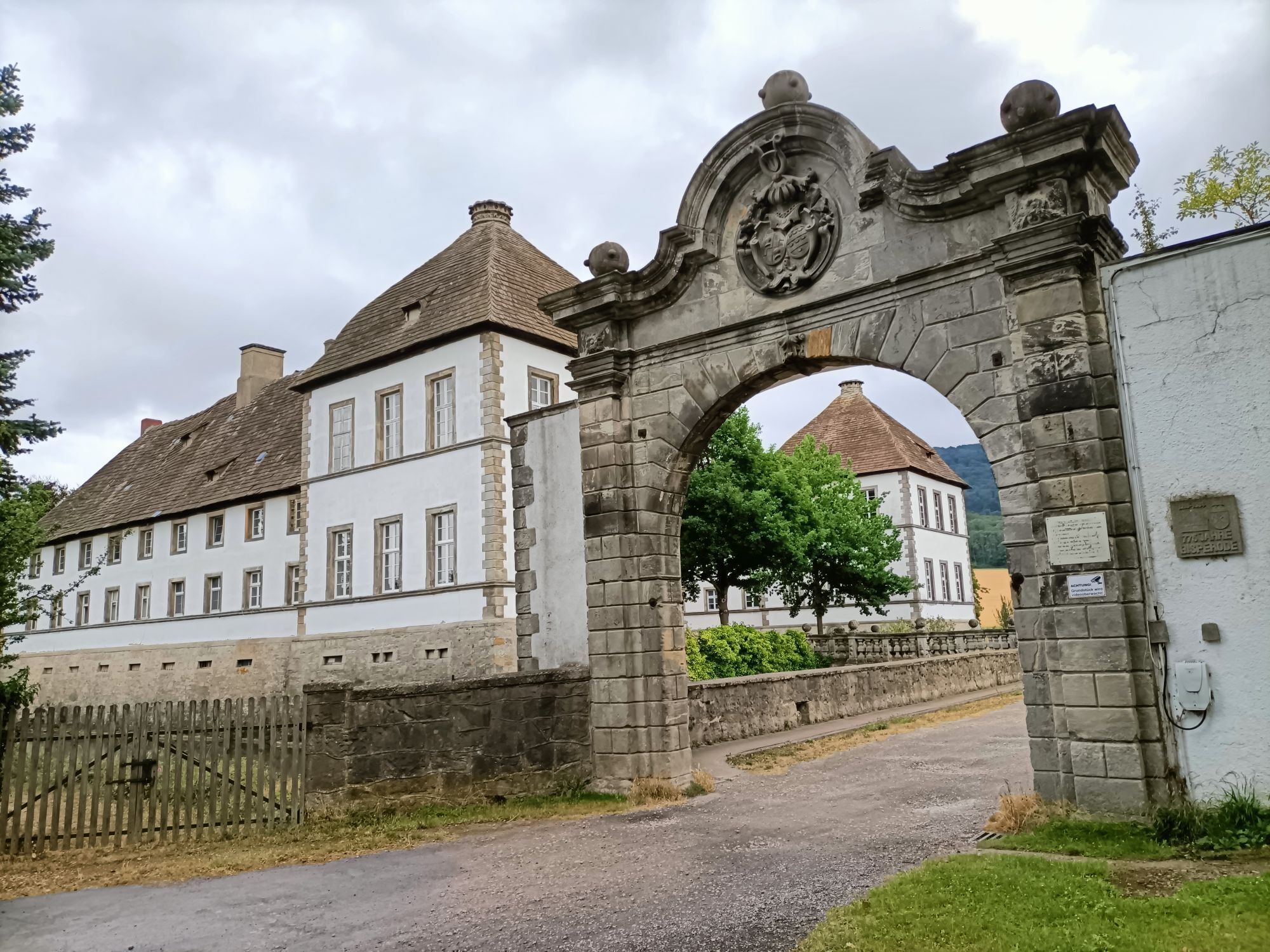
From Behrensen, head south through the fields with a detour to the district of Diedersen. Now cycle through Diedersen on the bike path further south towards Bisperode. At the crossing of state road L 588 you can complete the small loop with a visit to Bessingen. For this, turn left. Or follow the signs to the right further to Bisperode. From the town center, the route leads west uphill, past the gliding airfield into the town of Voremberg, where you turn left and continue on the road to Völkerhausen. There you meet the BauernLand Weser bike route. Together the routes lead up a steep hill (possibly dismount and push) into a shady forest and then, after enjoying a splendid view, arrive in the town of Börry.
You leave the town eastwards towards Esperde (stopover: among others inn "Zur alten Post", Große Str. 12) and reach the junction Harderode. There you can go straight onto the busy L 588 and return from there to Bisperode. Or follow the signs to the left and enter the town of Harderode above. Follow the signs uphill to the Hasselburg ridge where the highest wind turbine offers a beautiful view of Harderode. On a paved road through the forest you come to the crossing with state road L 425 between Börry and Haus Harderode. Here you can follow an alternative connection via the Ith to Lauenstein. To do so, turn right, ride down the road to Haus Harderode and then steeply uphill to cross the Ith. In Lauenstein you reconnect with the Ith loop east of the Ith.
To return to Bisperode, turn briefly left at the forest junction, then right again into the forest and follow the right forest path until you reach the town center of Bisperode again via a field path.
Route: Coppenbrügge – Lauenstein – Salzhemmendorf – Ockensen – Wallensen – Osterwald – Bisperode – Völkerhausen – Börry – Esperde – Coppenbrügge
Tak
The use of e-bikes may be sensible due to the partly large gradients.
The Ith loop also has some route sections characterized by significant climbs. These are particularly the sections to Lauenstein (from 3 to 4), to Osterwald (from 12 to 13), from Völkerhausen to Börry (24), and from Harderode (25) to the Hasselburg ridge.
Take the Lauenau exit from the A2 motorway and then B424 to Coppenbrügge
From the A7 motorway from the north, take the Hannover-Anderten exit towards Hameln/Bad Nenndorf, then take B217 towards Hameln and at Hachmühlen turn onto B442 to Coppenbrügge; from the south, take the Northeim Nord exit and go via B3 and B1 to Coppenbrügge
By train:
There is a connection via Coppenbrügge train station to the Nordwestbahn line Hildesheim-Bünde
Coppenbrügge train station: connection to RB 77 of Nordwestbahn (Hildesheim - Bünde), hourly service
Connection to the regional bus network e.g. to Salzhemmendorf, Thüste and Hameln
Parking spaces are available in Ithstraße, Im Felsenkeller, and at Coppenbrügge castle.
3
www.weserbergland-tourismus.de
The route can be individually divided into smaller routes so that the sections can be combined according to personal needs and abilities.
Popularne wycieczki w okolicy
Zum Ebersnacken (Ki 1)
ciężkiWędrówka12,7 kmIth-Hils-Weg
średnidługodystansowy szlak pieszy81,4 km- 3,7
Süntel-Hamelspringe-Süntelturmrunde
światłoWędrówka9,42 km Gods' path
średniTrasa tematyczna7,34 kmBergmannsweg
ciężkiTrasa tematyczna21,8 kmGröninger Feld circular path
średniWędrówka6,28 kmWasserbaum-Weg
Wędrówka10,0 kmKi 5
Wędrówka12,5 kmUmleitung XW - Bereich Süntel
Wędrówka3,27 kmDuingen - Restaurant im Sportzentrum - Weenzen
średniWędrówka14,5 km
Wędrówki i tropienie


Nie przegap ofert i inspiracji na następne wakacje
Twój adres e-mail została dodana do listy mailingowej.