


Hörnli – Alpenblick – Innerarosa


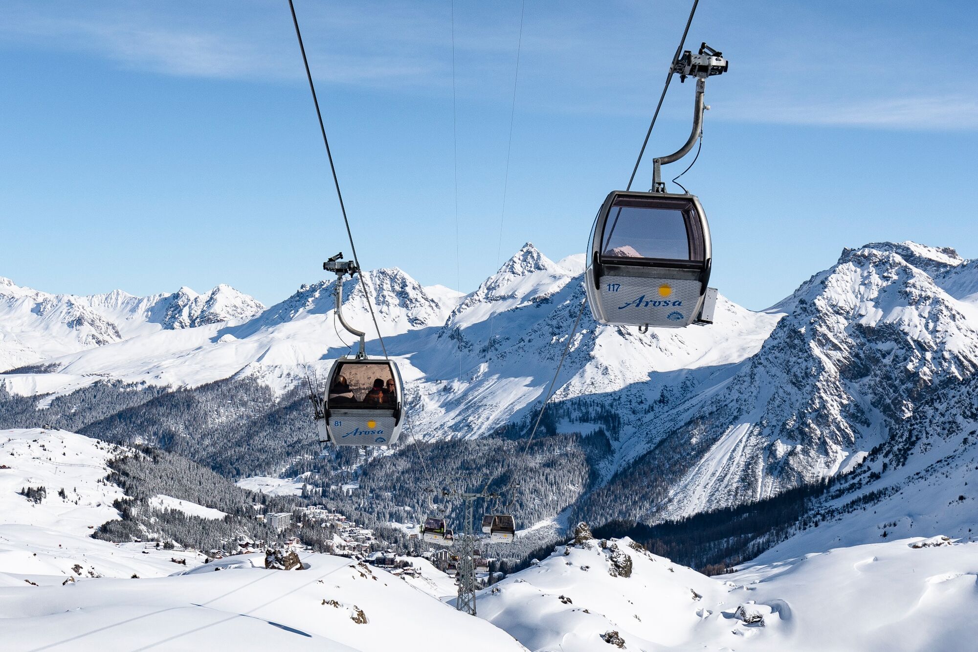
Take the Hörnli Express up to the Hörnli, where the hike starts in the middle of the Arosa Lenzerheide snow sports area, right by the Urden cable car. Enjoy the sun and the hustle and bustle of the skiers...
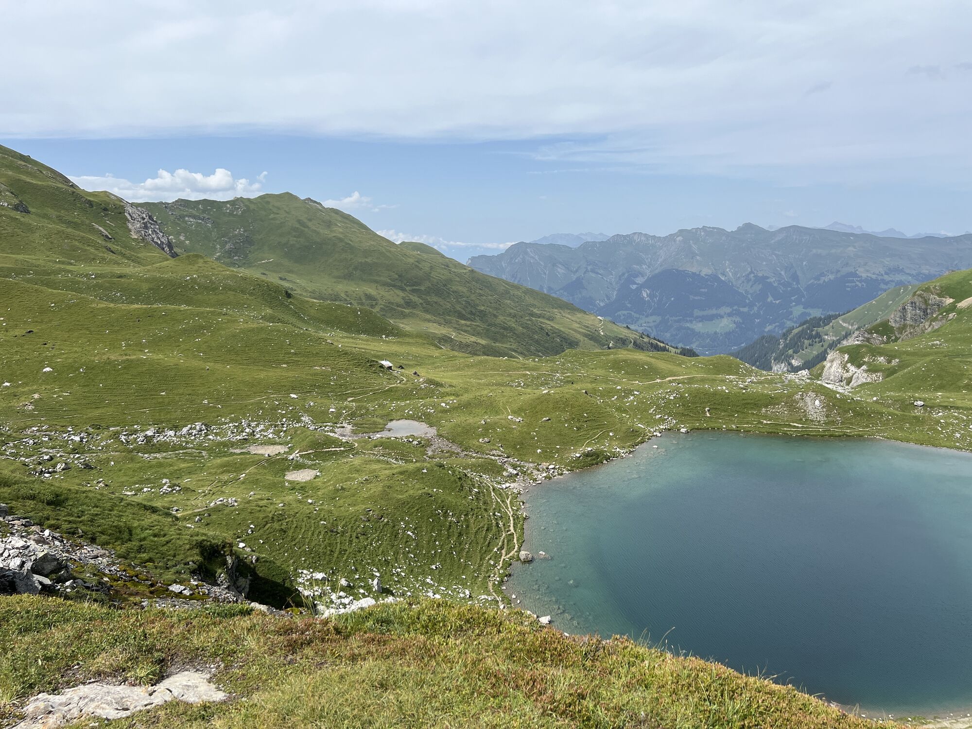
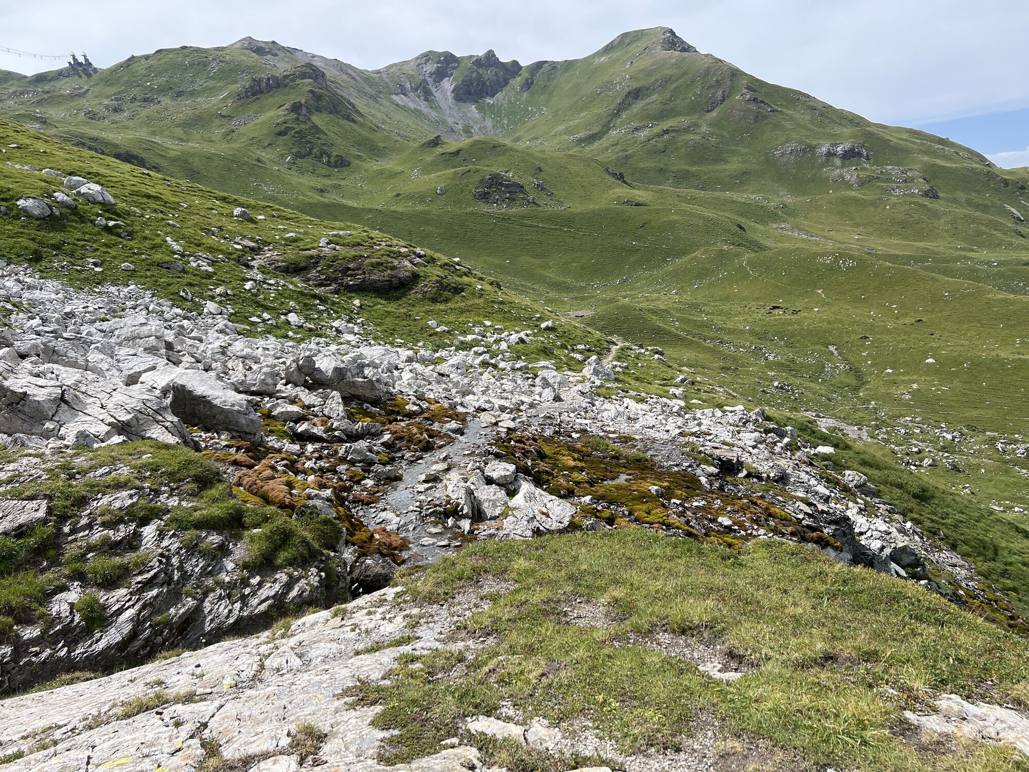
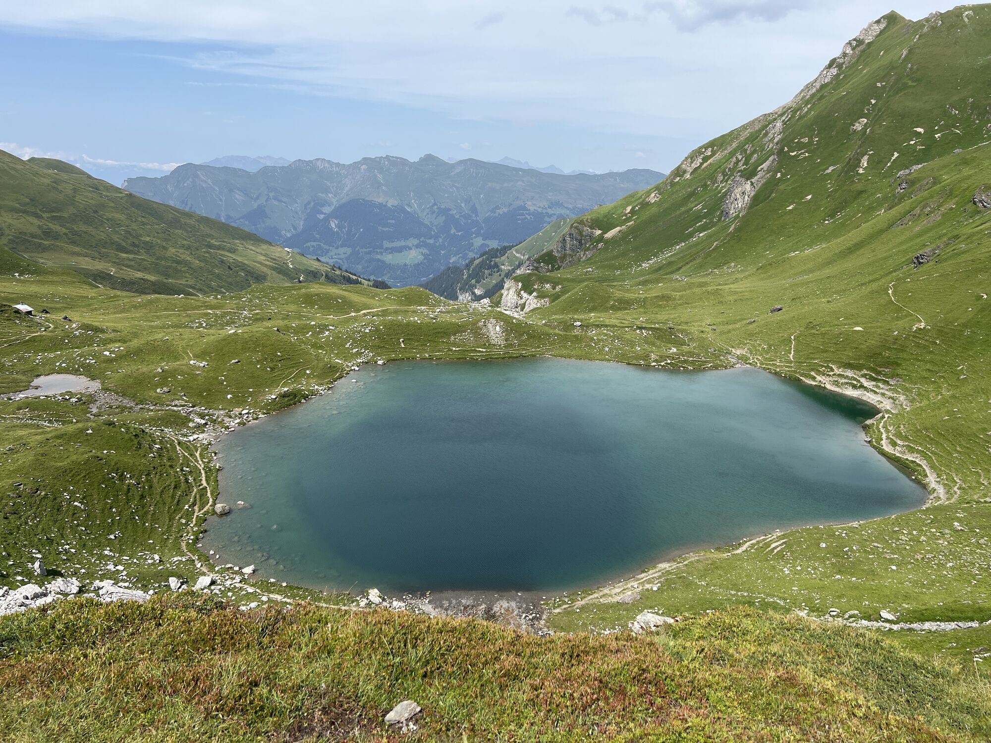
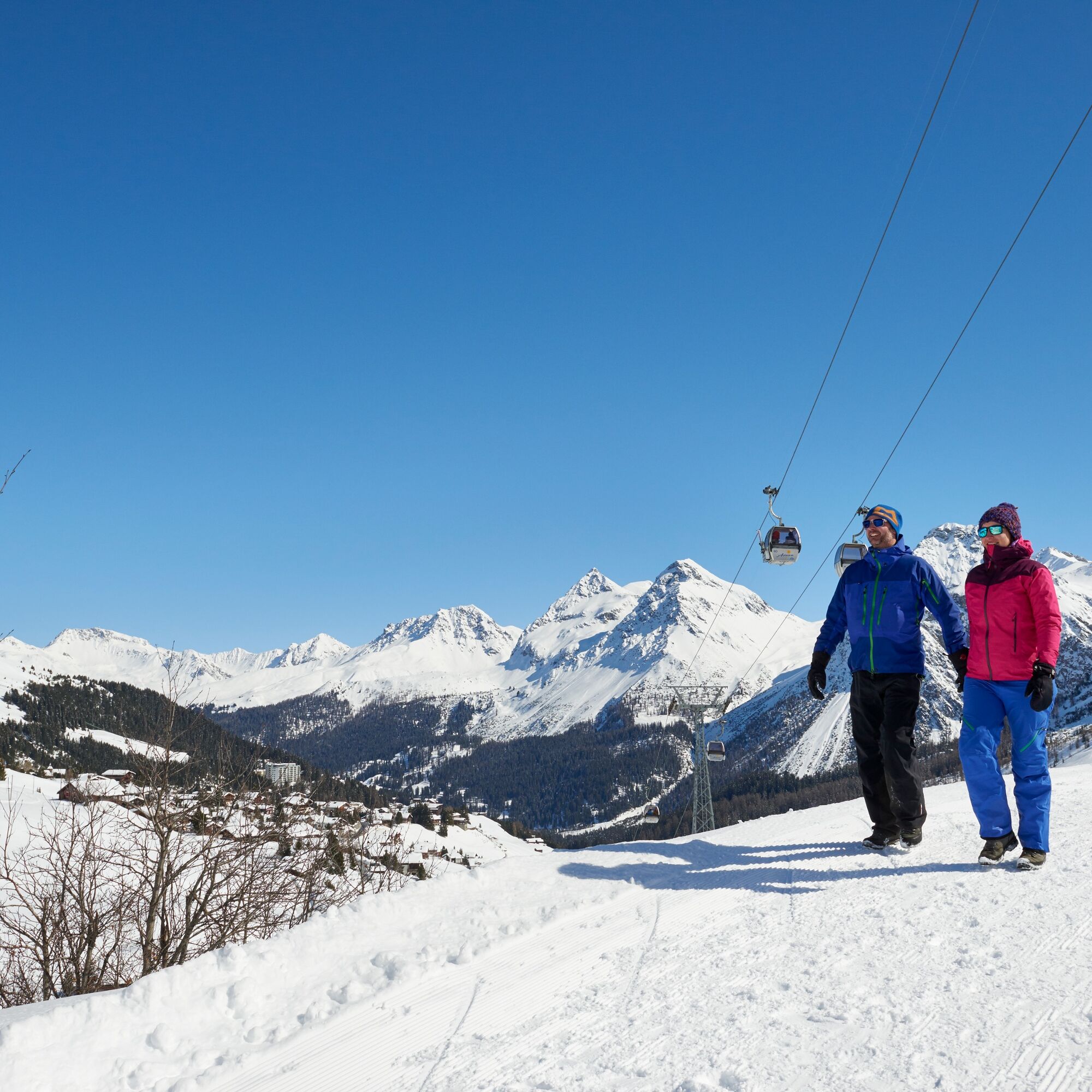
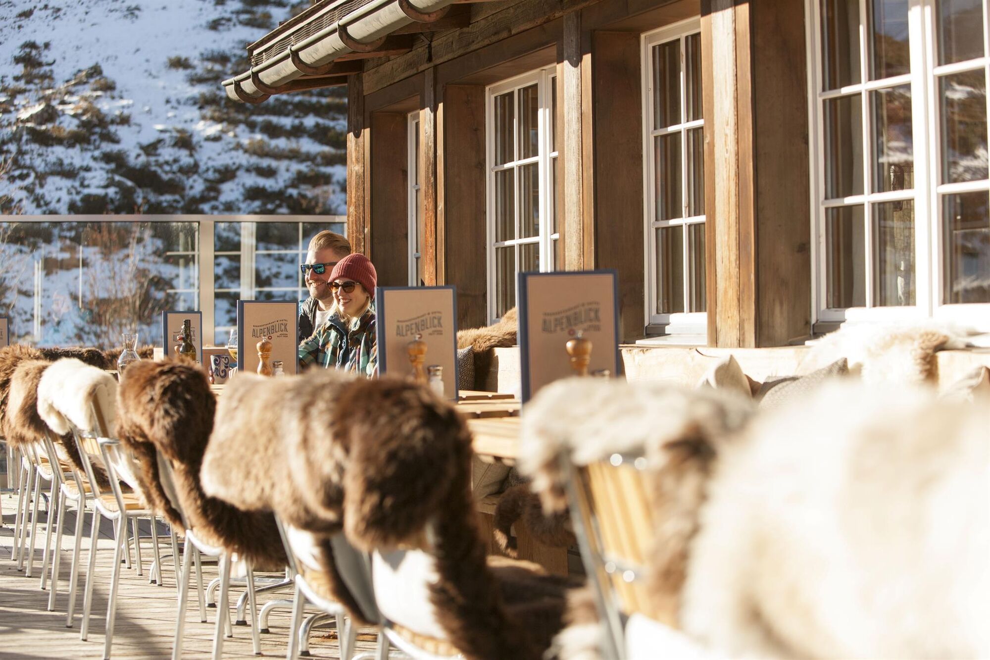
Take the Hörnli Express up to the Hörnli, where the hike starts in the middle of the Arosa Lenzerheide snow sports area, right by the Urden cable car. Enjoy the sun and the hustle and bustle of the skiers on the summit before you start the hike. The path leads leisurely down through the beautifully snow-covered landscape into the valley, to the right always the imposing rocks, to the front a magnificent view of the opposite peaks, the ski area and Innerarosa. When you arrive at restaurant Alpenblick, delicious food, sweet cakes and a warm coffee await the hungry hikers. Freshly fortified, you can then tackle the last stretch towards Innerarosa. In Innerarosa you can take the bus to the railway station if you wish.

Hörnli - Restaurant Alpenblick - Innerarosa
Sturdy shoes, clothing suitable for the weather and something to drink are recommended.
The path is steep in parts, hiking poles can be helpful.
Follow from Chur the signalisation to Arosa and along the Poststrasse all the way through the village. Turn left when you reach the busstop Gada. There is limited parking space at the valley station of the Hörnli-Express.
Take the Rhaetian Railway from Chur to Arosa. The local bus will bring you to the valley station of the Hörnli-Express. Start your way back at the bus stop Gada or Kulm.
There are parking spaces available right next to the valley station of the Hörnli-Express.
More information about parking in Arosa can be found here: www.parking-arosa.ch
Arosa strives to provide hikers with a well-developed and marked network of hiking trails. Please heed the rules and signposting.
Please keep your dogs on a leash Please take litter and leftovers from picnics home again You will often see game on your walks. Enjoy the sight of these animals and respect their familiar surroundings. Leave trail markings where they are Do not use closed paths (winter sports report) Do not leave the officially marked winter hiking trails
There is a charge for the use of the Hörnli Express. Information on operating times and tickets can be found at www.arosalenzerheide.swiss.
Visit the old Mountain Chapel or the local history museum in Innerarosa.
Kamery internetowe z trasy
Waldstafel
Arosa - Hörnli
Lenzerheide - Urdenfürggli
Lenzerheide - Parpaner Rothorn
Arosa - Tschuggen
Tschiertschen - Alp Farur
Hühnerköpfe - Bergrestaurant
Hühnerköpfe - Bergrestaurant
Arosa - Bärenland
Arosa - Weisshorn
Arosa - Dorf
Arosa - Alp Maran
Alp Maran - Golfhaus Arosa
Lenzerheide - Heimberg
Hühnerköpfe - Bergrestaurant
Popularne wycieczki w okolicy
Alp Sanaspans - Rothorn
ciężkiWędrówka13,6 km- 5,0
Arosa-Hörnli-Urdenfürrgli-Alp Scharmoin-Lenzerheide
średniWędrówka15,3 km - 5,0
202 High-level path Tgantieni
ciężkiWędrówka zimą12,3 km - 5,0
Piz Scalottas - Brambrüesch
średniWędrówka16,6 km - 3,0
207 Mittelberg Parpan
średniWędrówka zimą7,07 km Rundtour Lenzerheide
średniWędrówka14,9 km201 Heidsee route
światłoWędrówka zimą5,49 km521 Era Vedra
średniRakieta do chodzenia po śniegu2,82 kmWeather Dwarfs of Heidbüel
średniTrasa tematyczna2,66 kmAlp Sanaspans - Lenzerhorn
ciężkiWędrówka6,28 km
Wędrówki i tropienie


Nie przegap ofert i inspiracji na następne wakacje
Twój adres e-mail została dodana do listy mailingowej.