







Liechtenstein Trail: 1st stage Balzers-Triesenberg
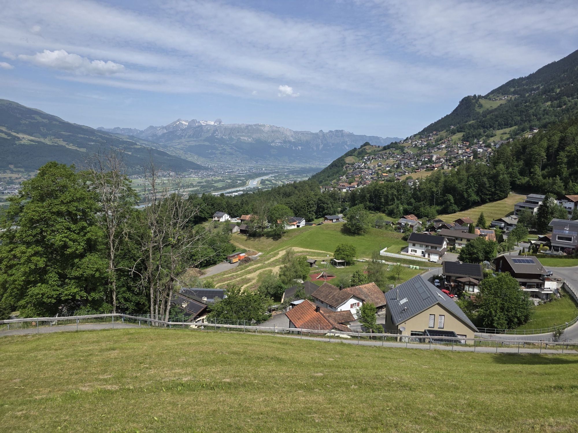
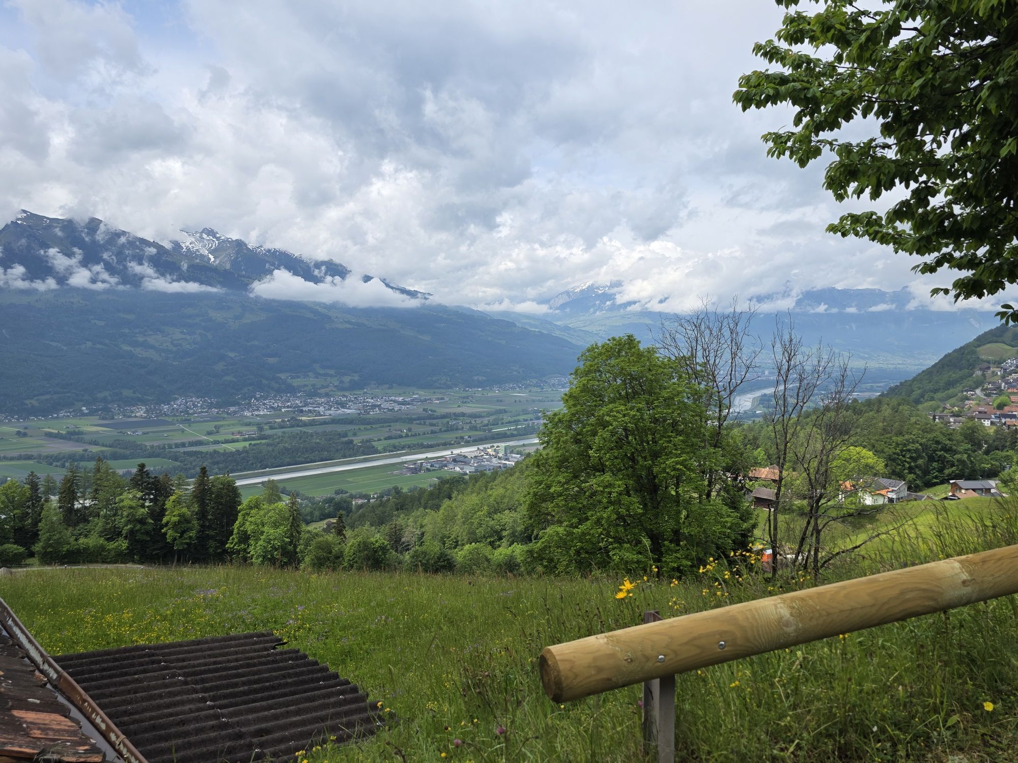
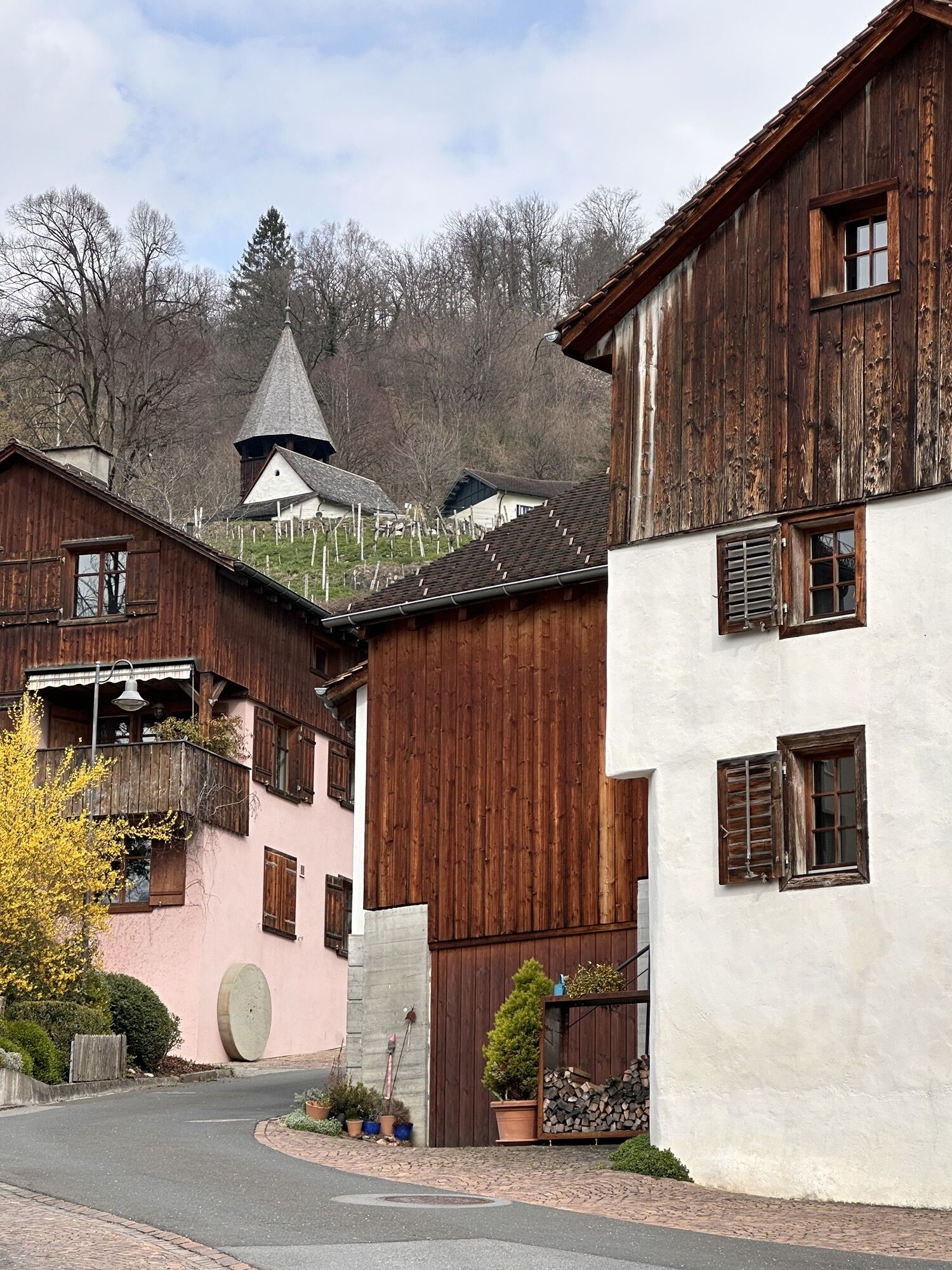
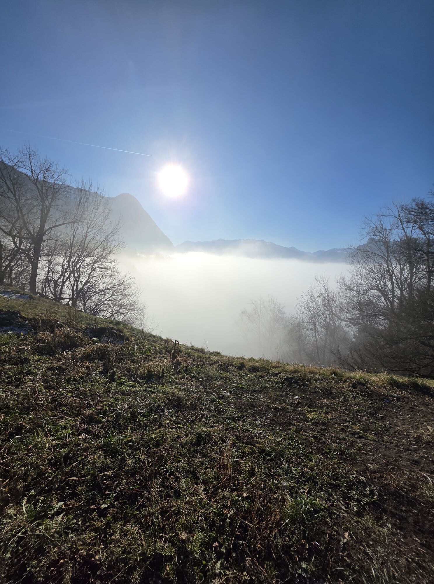
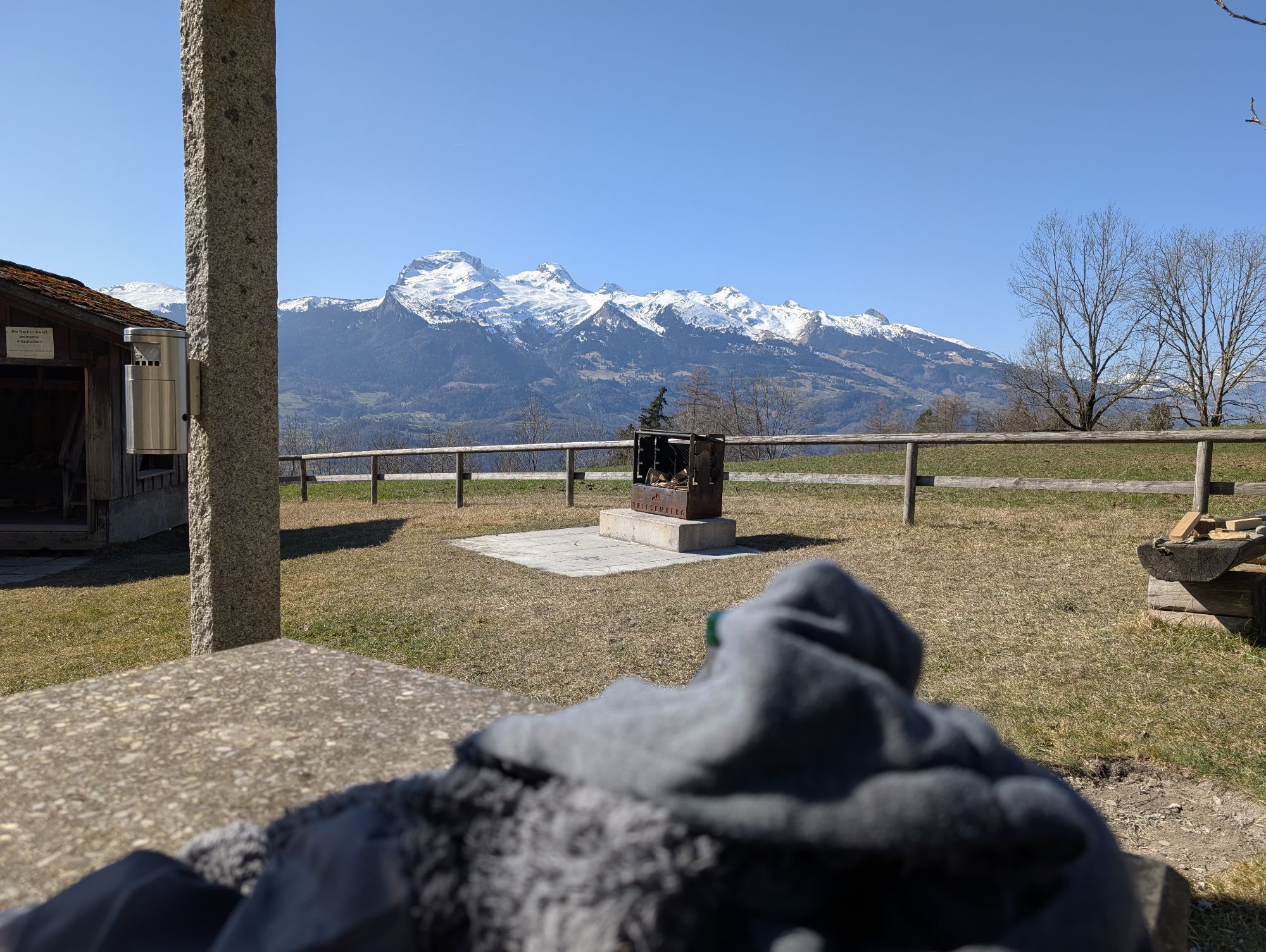
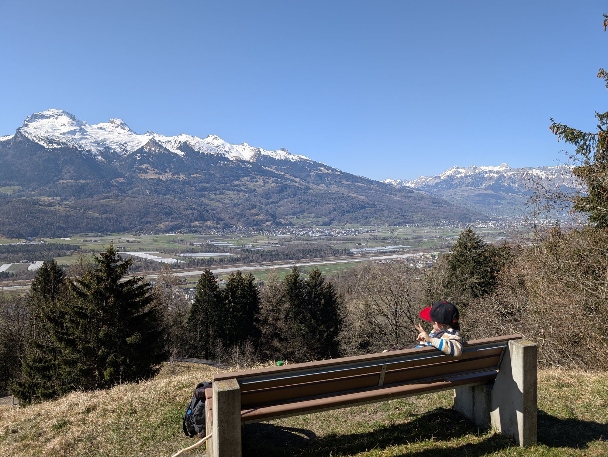
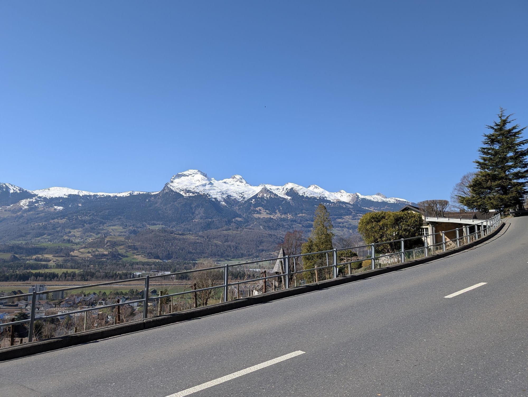
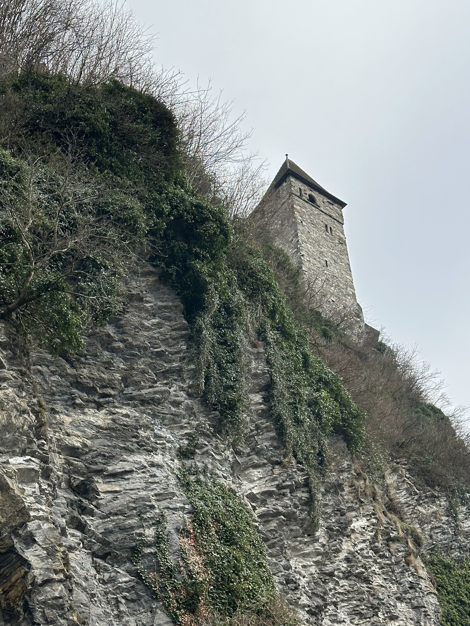

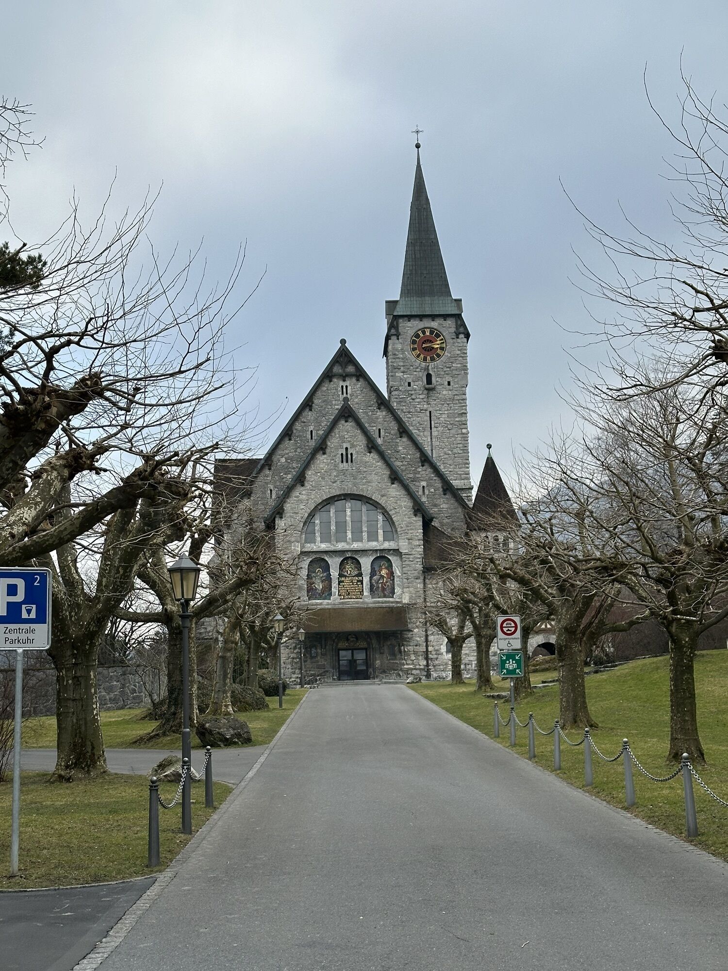
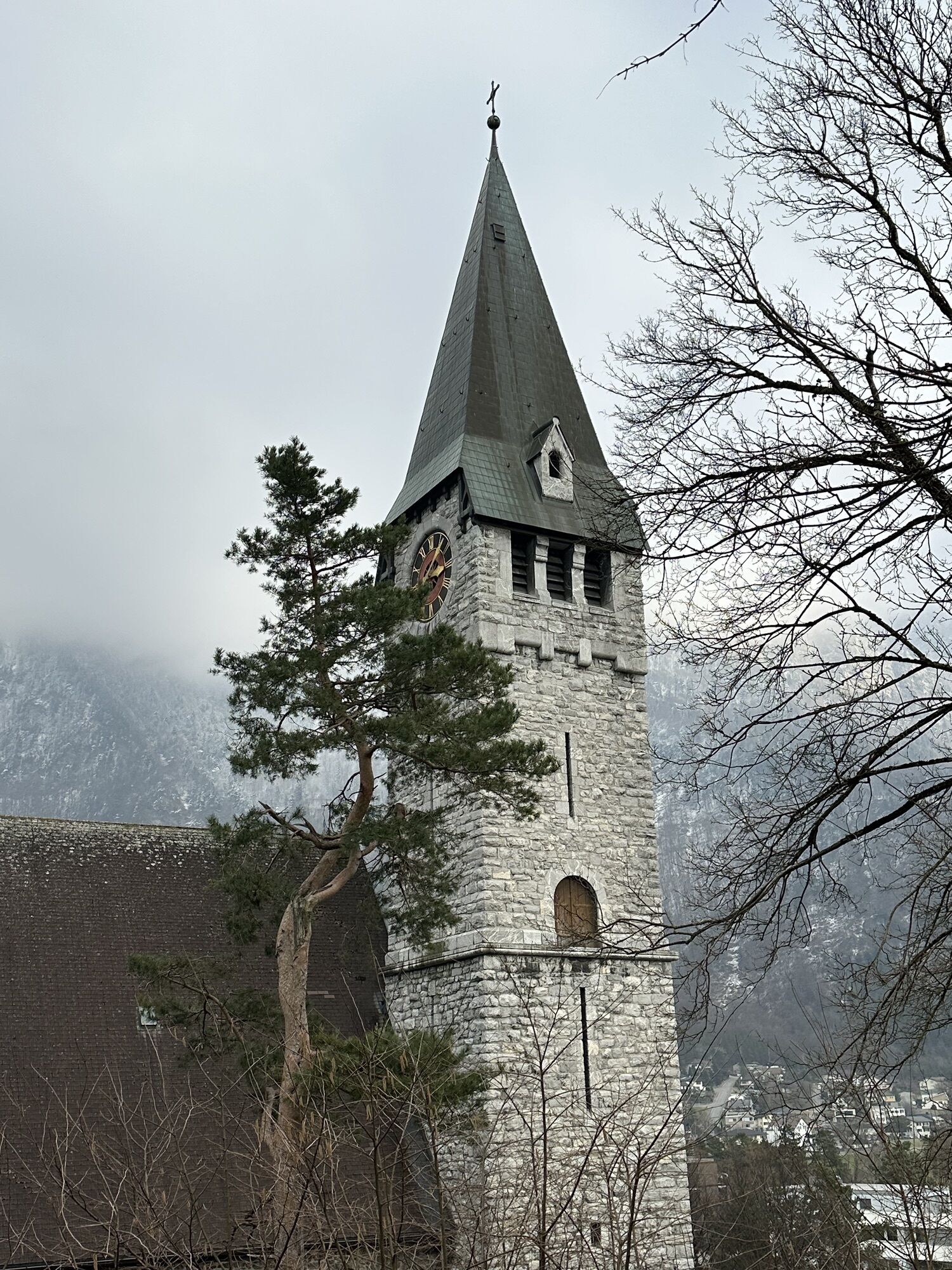
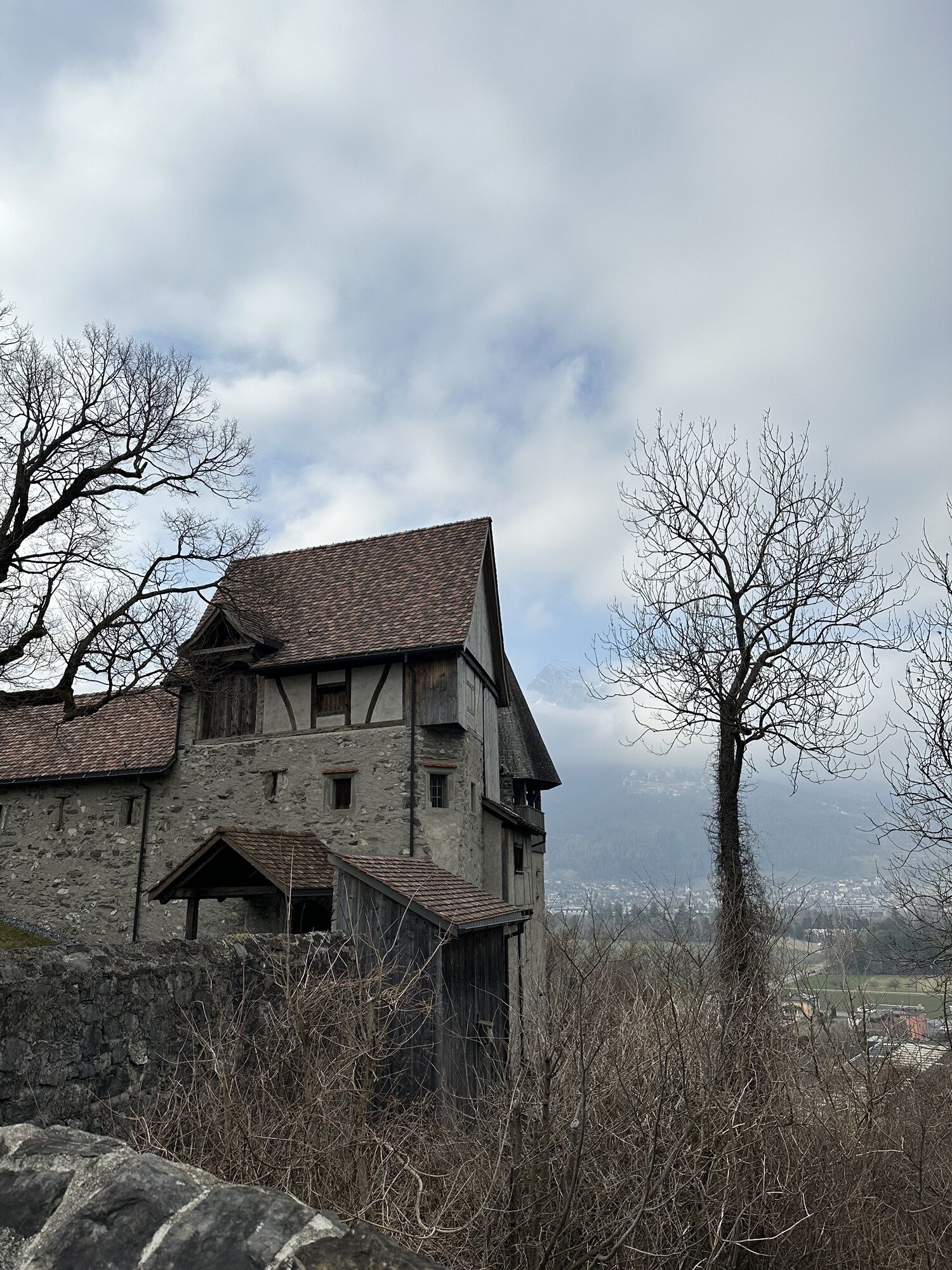
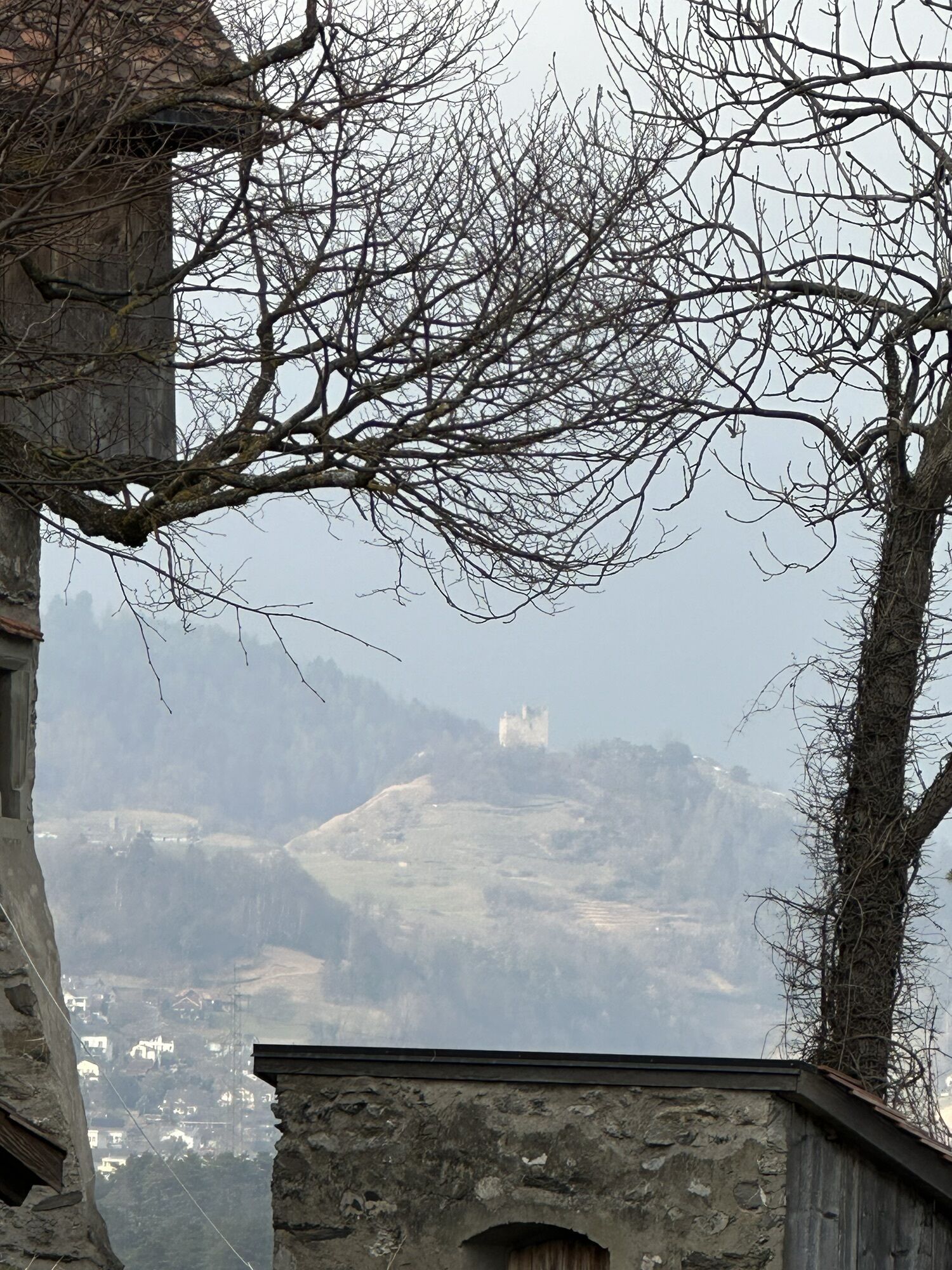
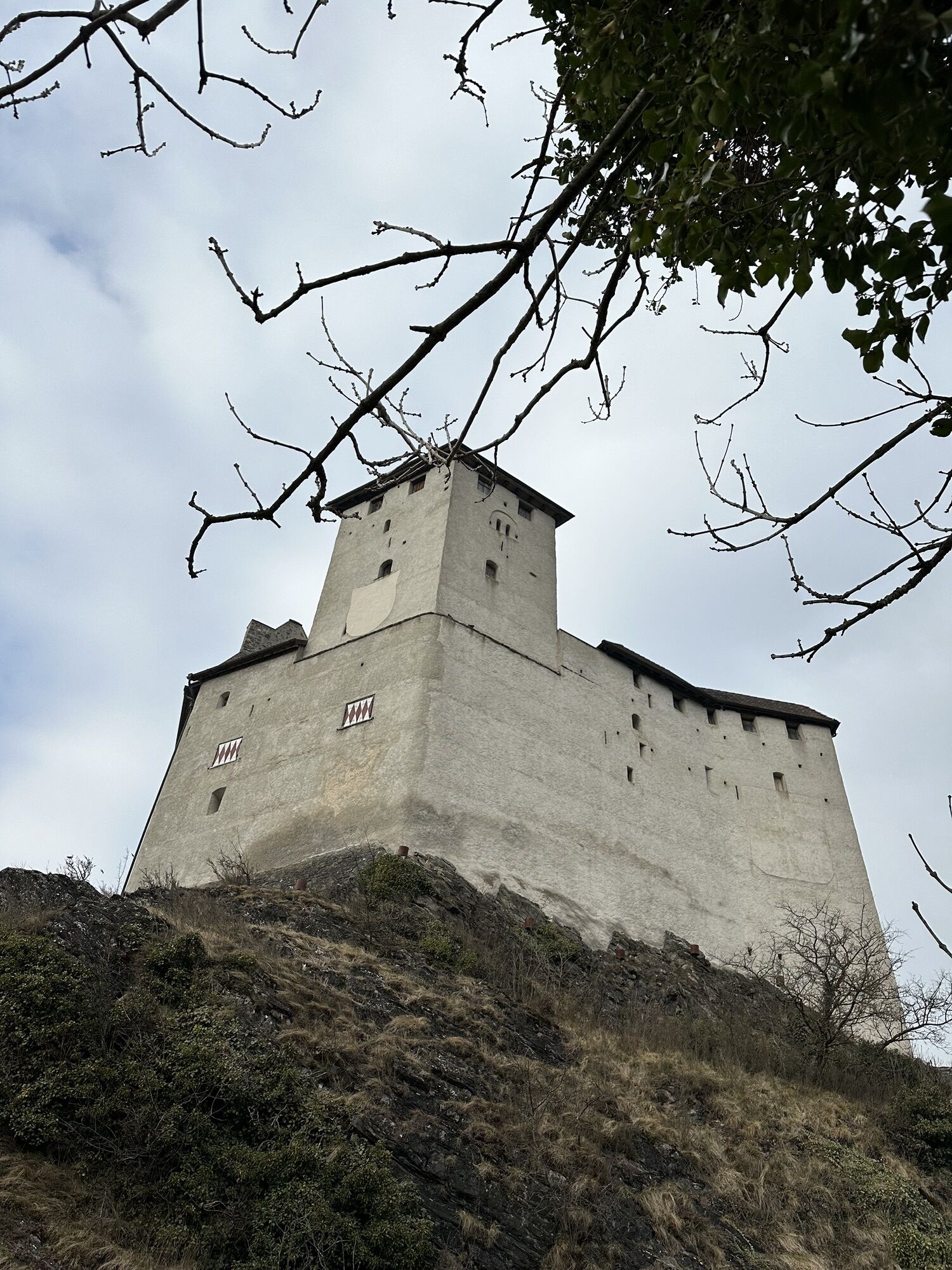
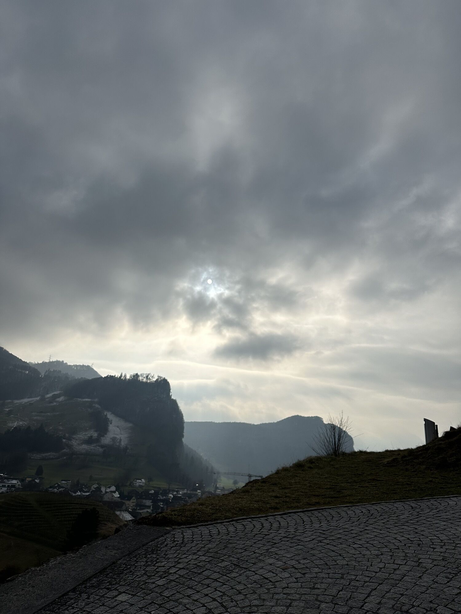
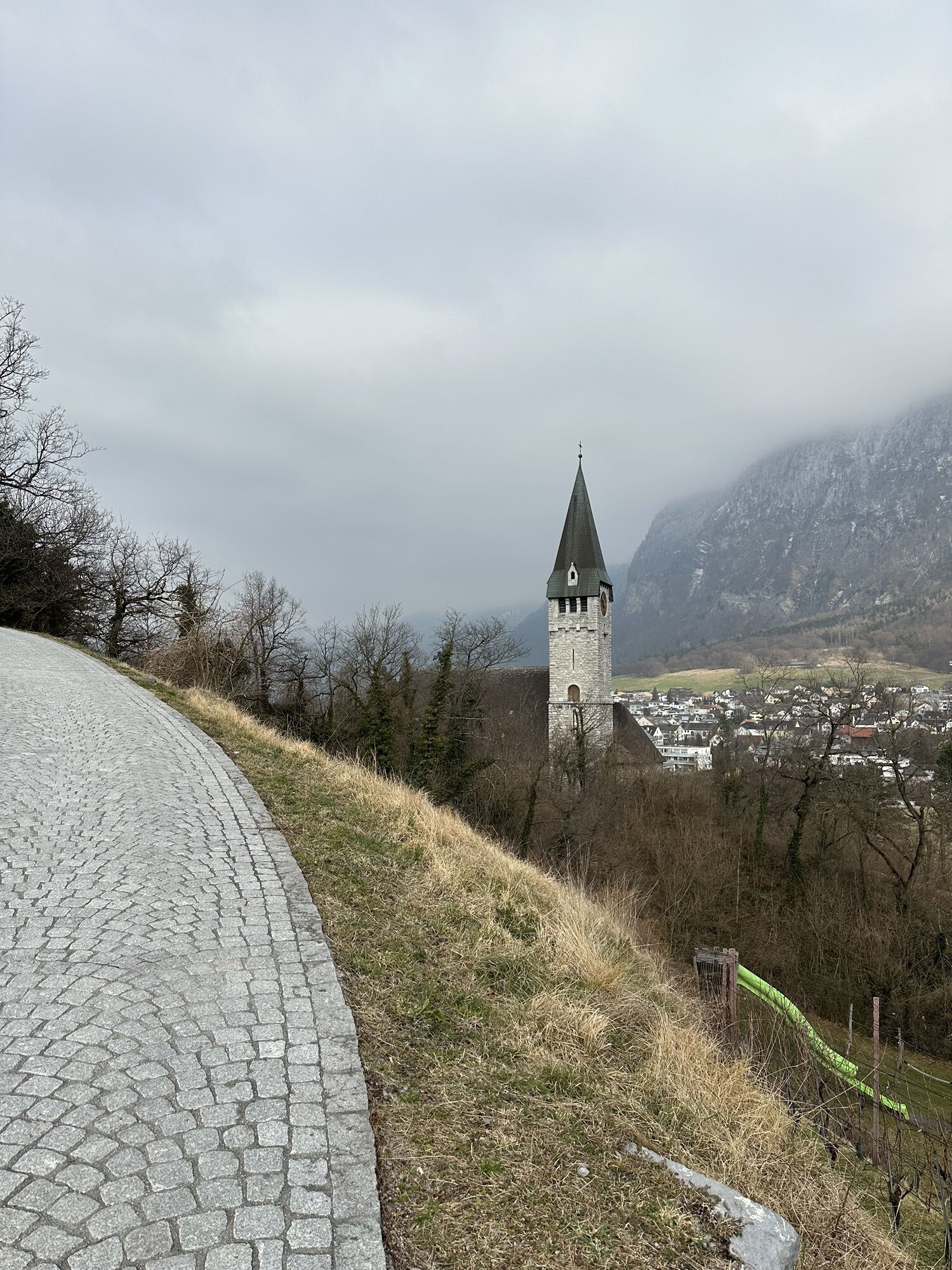
Gutenberg Castle, which towers around 70 meters above Balzers, is visible from afar. After passing the medieval castle, the Liechtenstein Trail takes us through the municipality of Balzers and then along...
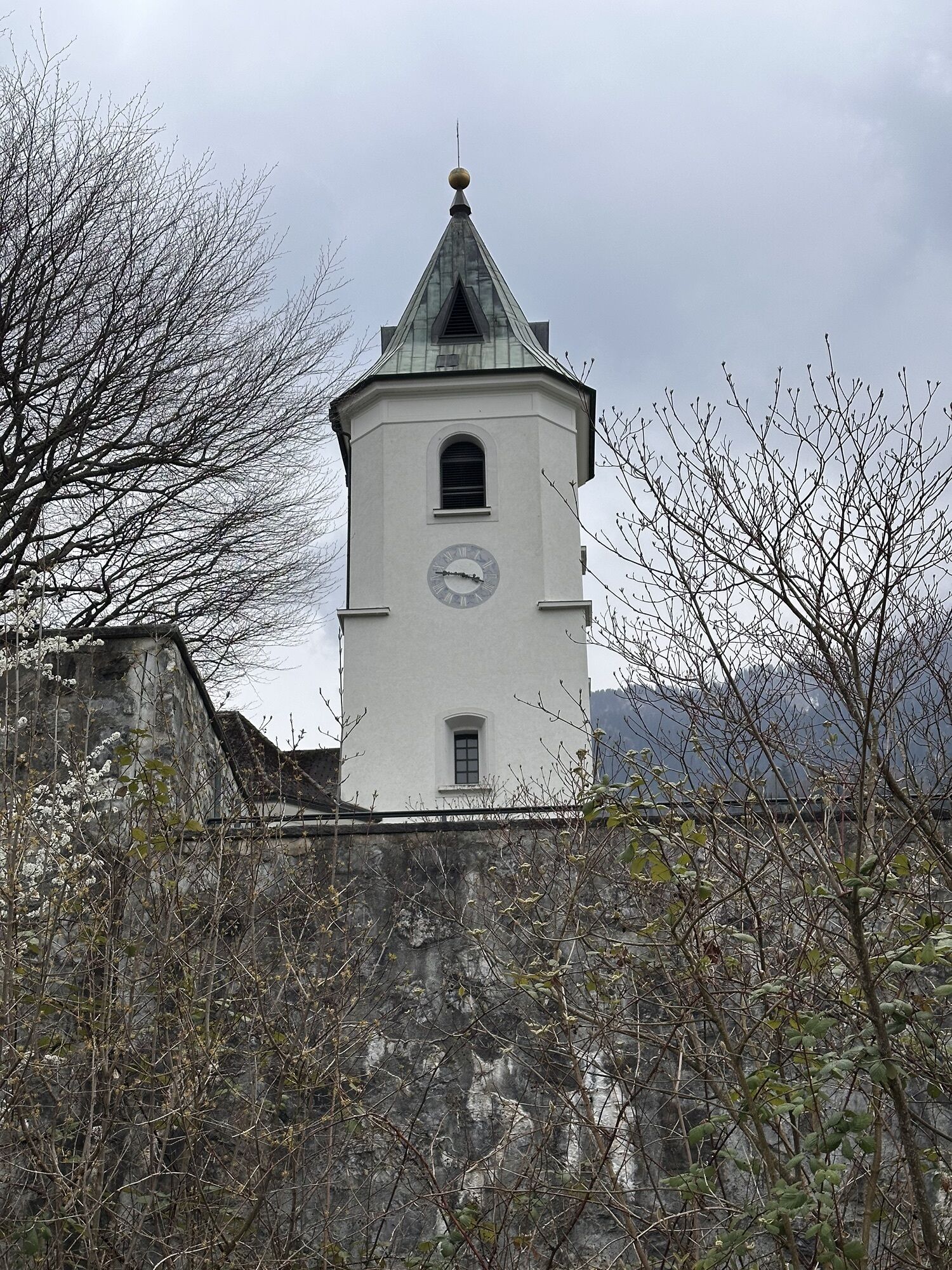
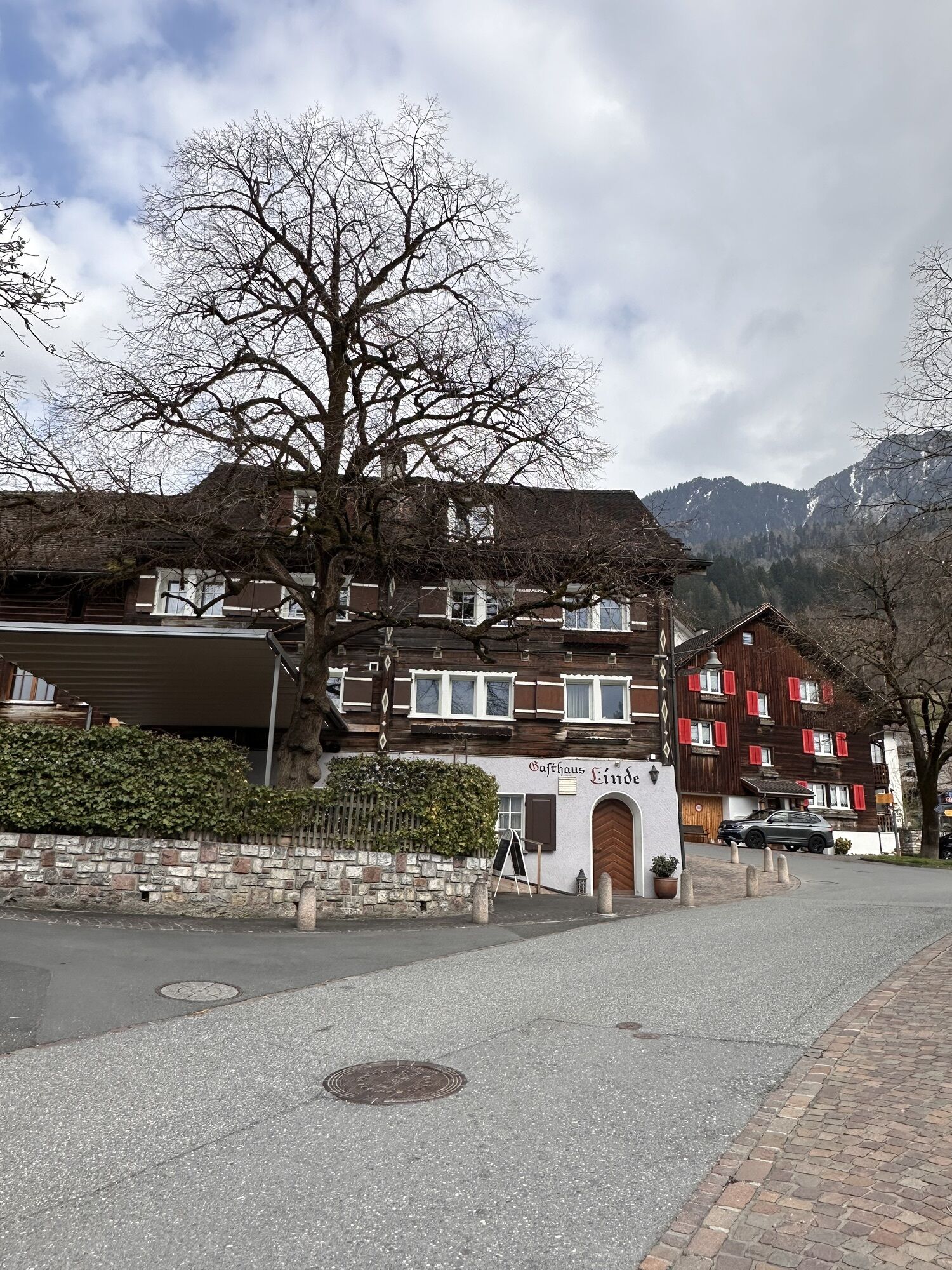
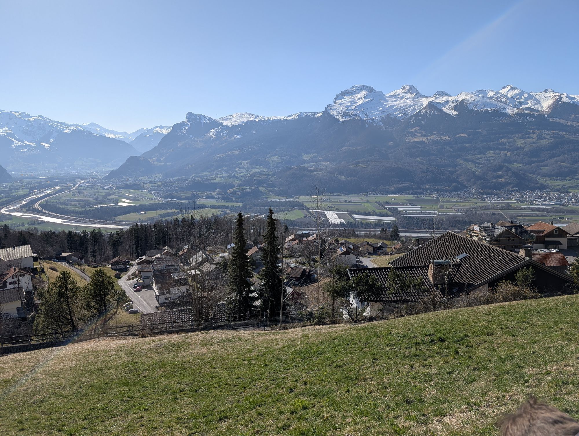
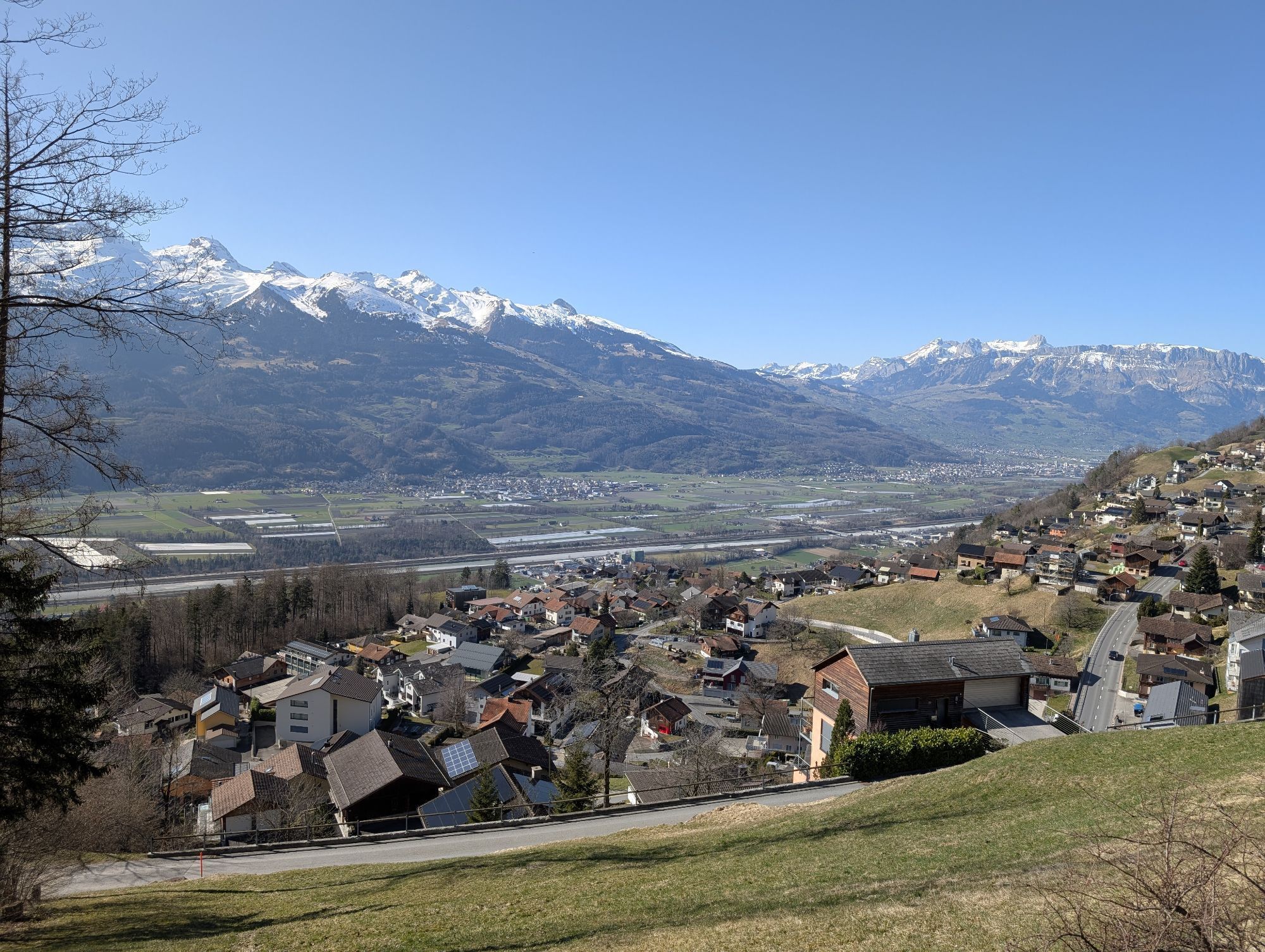
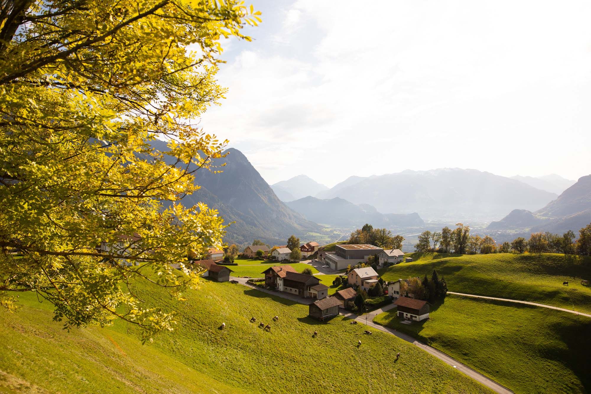
From the Gasometer cultural center in Triesen, the trail climbs steadily up to the St. Mamerten chapel. There you can take a break and enjoy the peace and quiet and the magnificent view towards Balzers. This is followed by the ascent to the Walser village of Triesenberg. The village center is around 900 metres above sea level. Triesenberg emerged from a Walser settlement in the 13th/14th century and has honored its history and tradition over the years.
Here you can find all information about hiking in Liechtenstein at a glance!

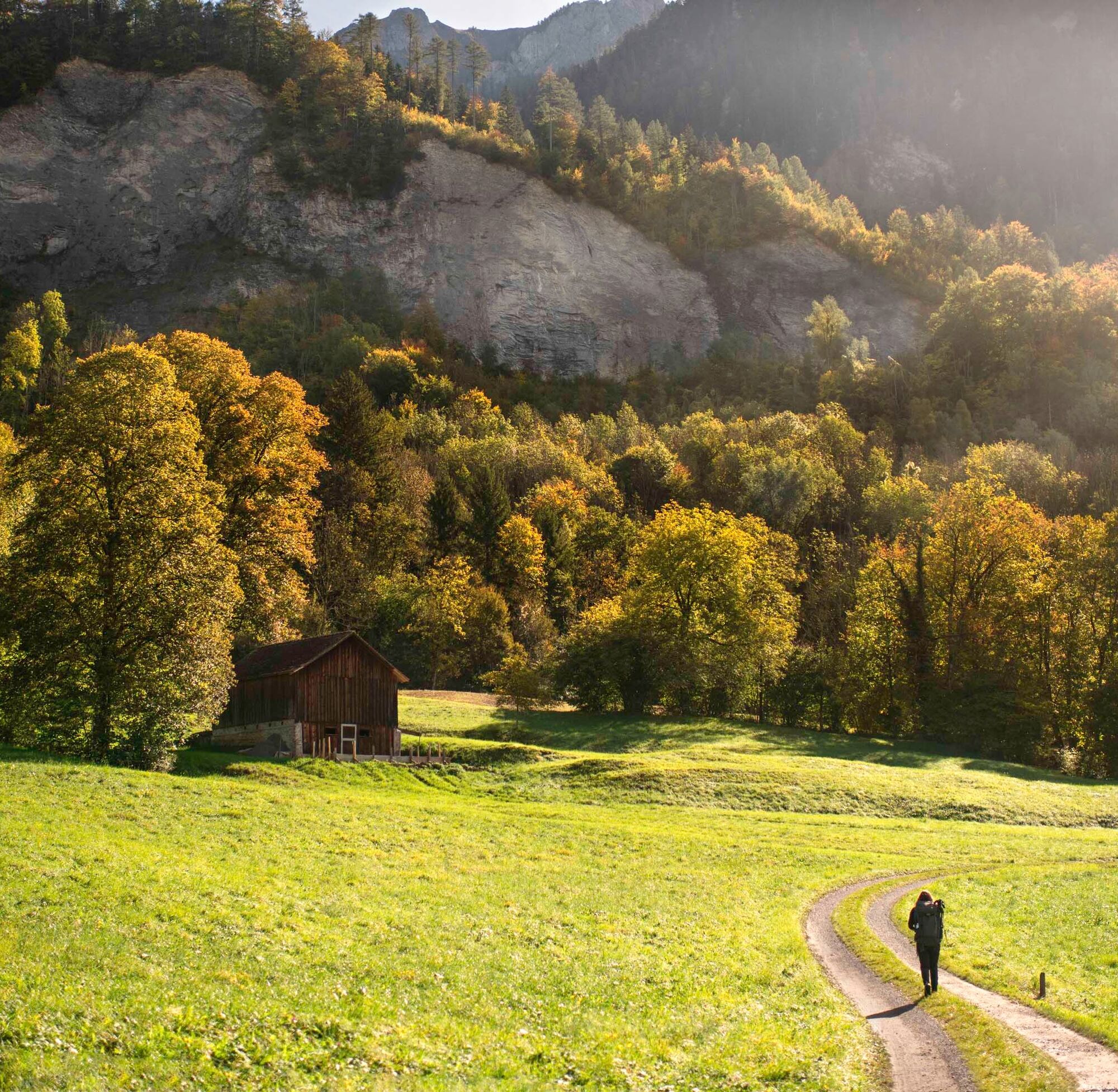
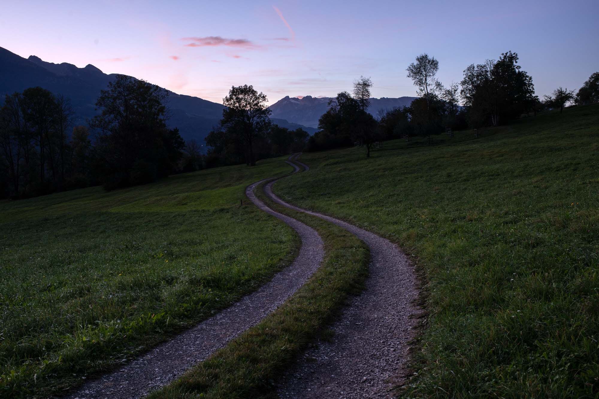
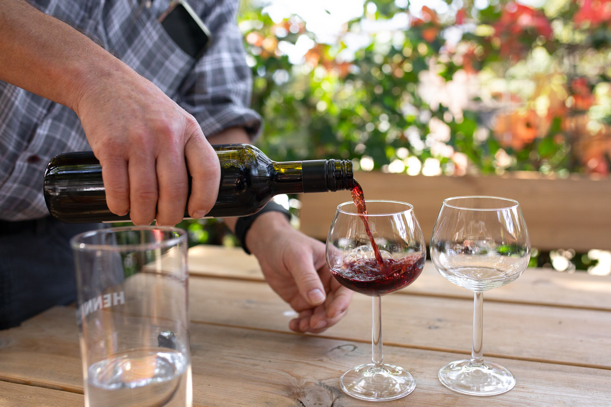
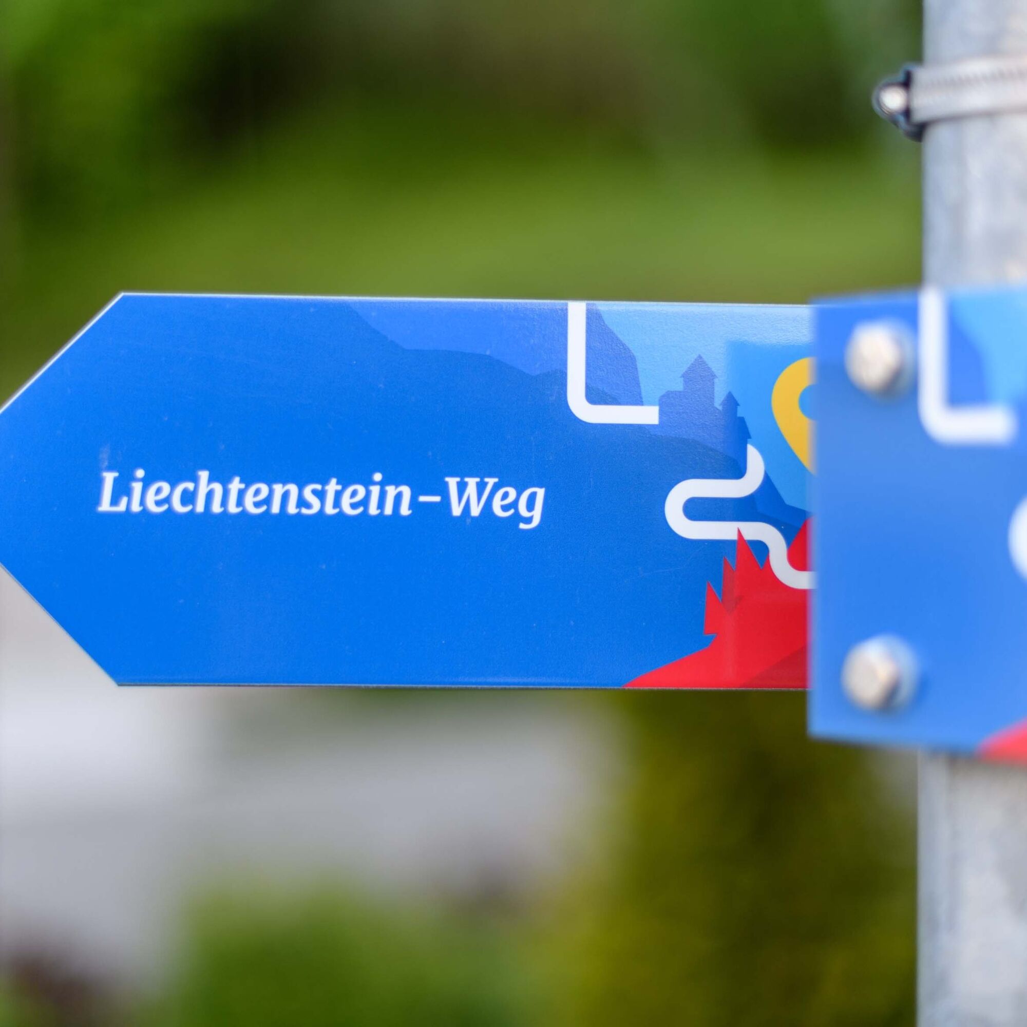
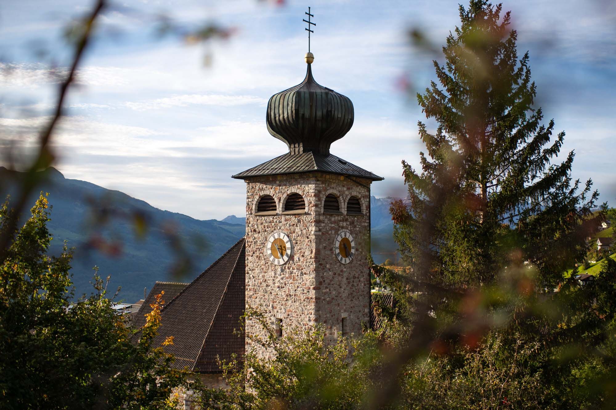
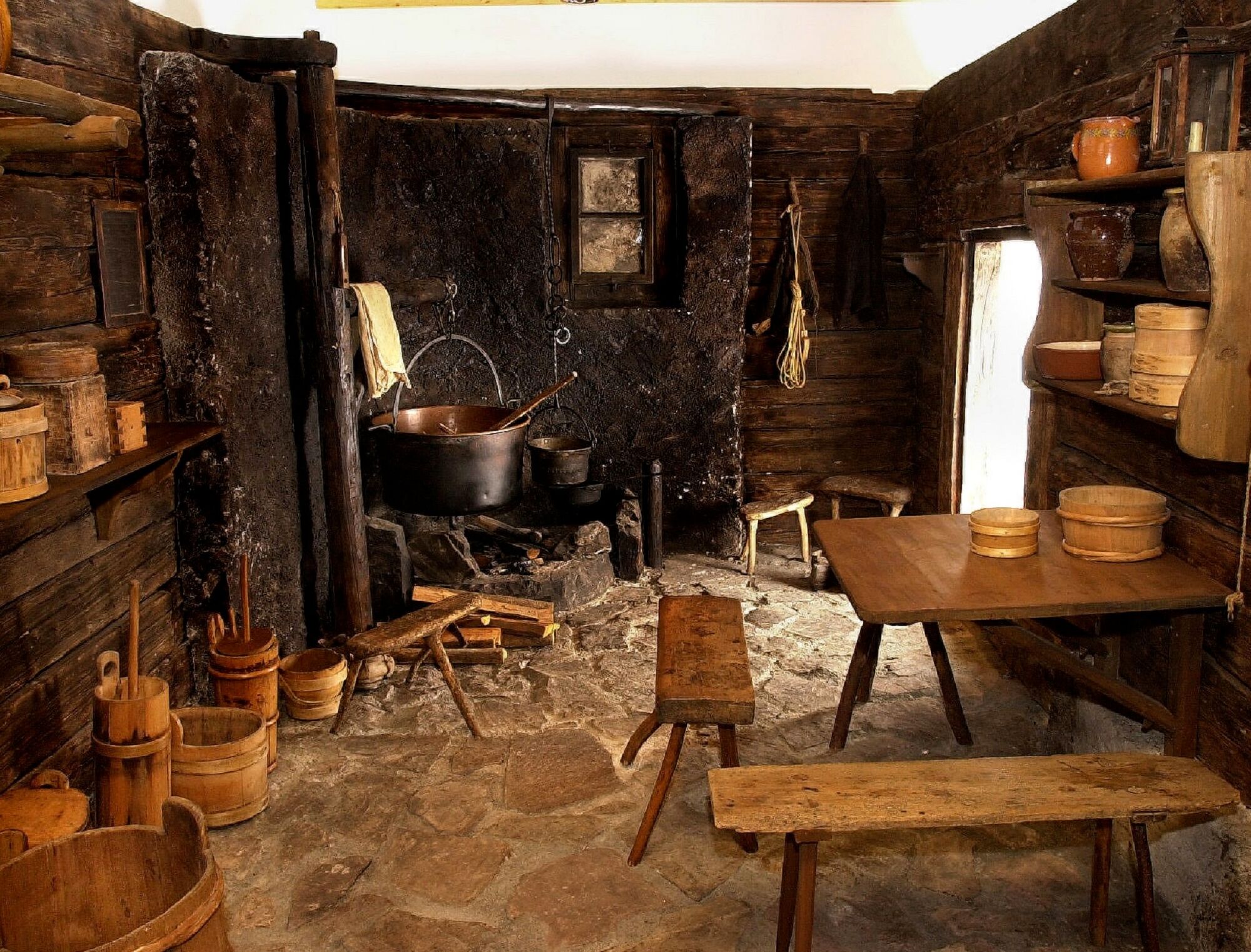
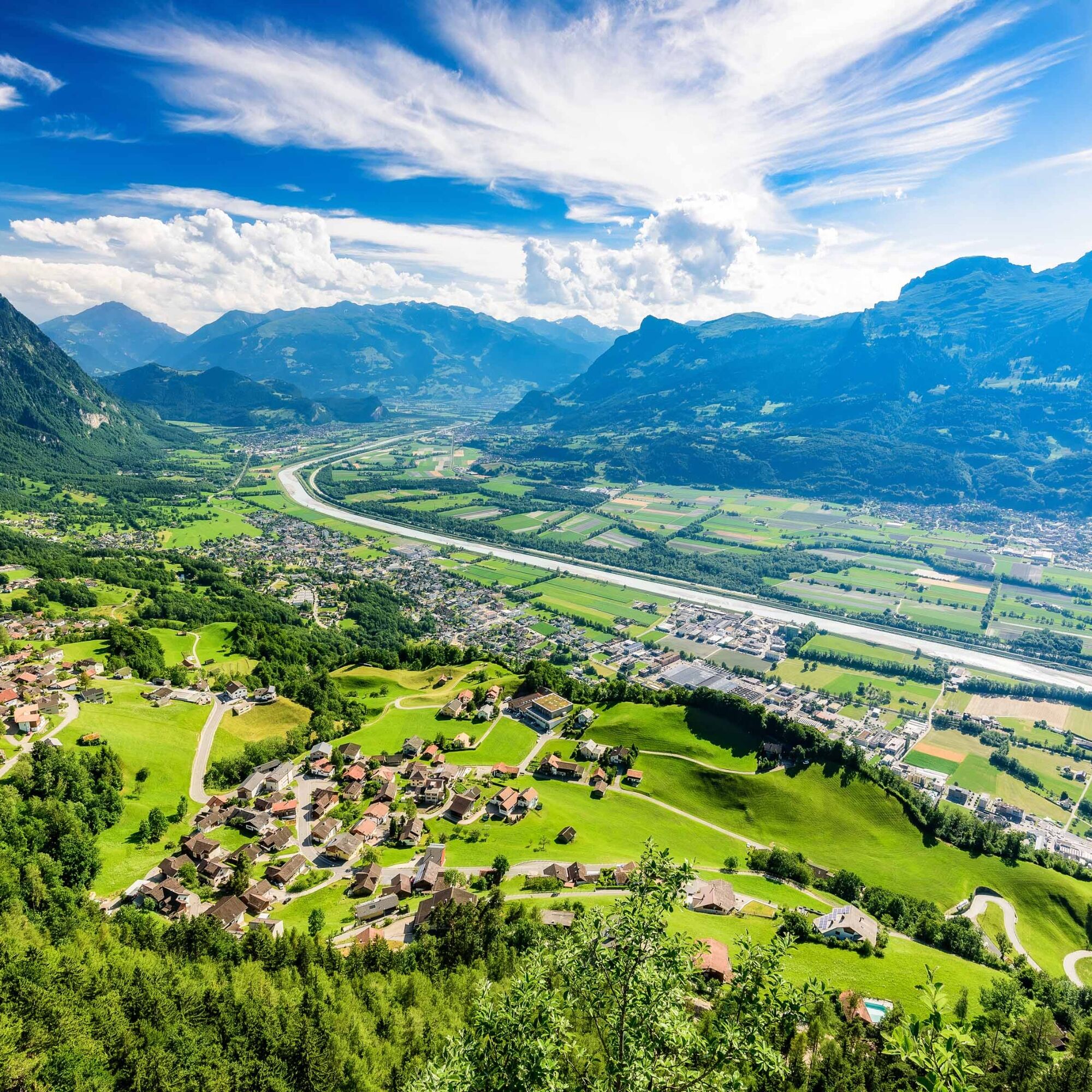
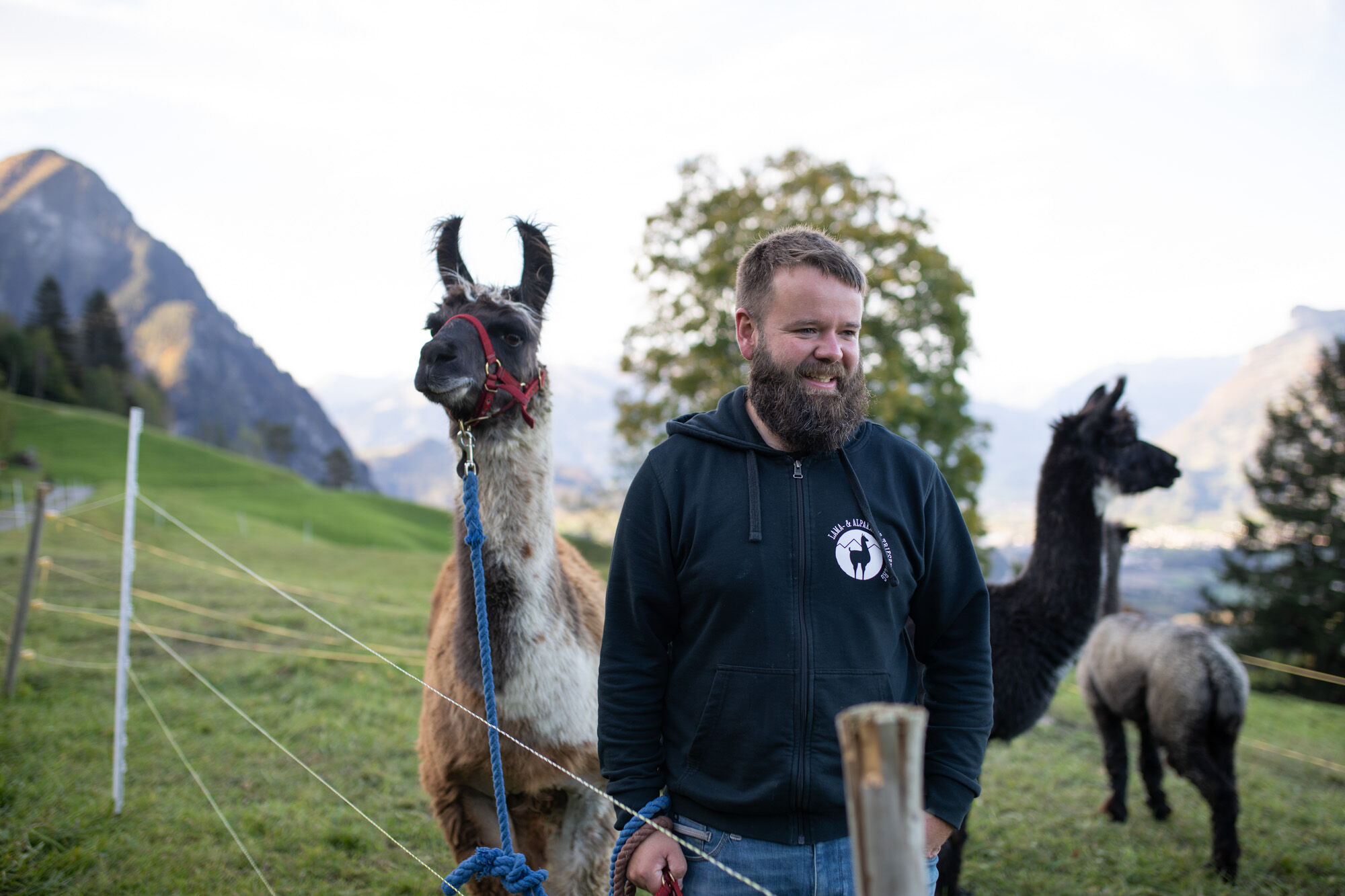

Careful planning is required before embarking on a tour. We recommend that you check the routes and weather conditions with the local information offices beforehand. Depending on the season and weather, this route may be closed or interrupted.
from St. Gallen via the A13 highway (approx. 45 minutes)
from Zurich via the A3 to Sargans, then onto the A13 (approx. 1 hour)
from Munich via the A96, in Austria on the A14 (approx. 3 hours)
from Innsbruck via the A12, S16 and then the A14 (approx. 2.5 hours)
International rail connections ensure comfortable travel to Liechtenstein. At the Sargans, Buchs/SG and Feldkirch train stations, you can easily change to Liechtenstein's well-developed bus network (LIEmobil) and reach your vacation destination in comfort.
Starting point
Balzers: Bus stop "Balzers, Höfle".
The starting point is at the boundary stone, near St. Katrinabrunna. This is around 1.4 km or a 15-minute walk from the bus stop.
End point
Triesenberg: Bus stop "Triesenberg, village center"
Timetables:
6 days and 5 nights on the Liechtenstein Trail
3 days and 2 nights on the Liechtenstein Trail
Luggage transportation service:
If you want to enjoy the Liechtenstein Trail without a care in the world, you don't want to burden yourself with heavy luggage. If you book one of the overnight offers, luggage transportation is already included.
Experience theLiechtenstein Trail- discover the most beautiful sides of Liechtenstein on one route!
Kamery internetowe z trasy
Uzyskaj wgląd Zawsze na żywo z ponad 9 500 kamer internetowych. bergfex Jako użytkownik Pro, możesz teraz zobaczyć odpowiednie kamery internetowe dla wielu wycieczek w aplikacji wycieczki od. Pozwala to na bezpośredni podgląd aktualnych warunków. Popularne wycieczki w okolicy
- 4,6
To the summit cross of the Alpspitz
średniWędrówka 6,02 km - 3,7
Fürstin-Gina-Weg
Wędrówka 10,7 km - 3,8
Sassweg - von Malbun zum Sass-Seelein
Wędrówka 4,14 km - 4,9
From Malbun to the Schönberg
średniWędrówka 12,4 km - 4,7
Tamina Gorge Circular Route
średniWędrówka 14,0 km - 4,7
Alvier
średniWędrówka 3,33 km - 4,6
Pizalun circular route
światłoWędrówka 7,18 km - 3,3
Wanderbares Zalimtal
średniWędrówka 12,2 km - 3,6
Fürstensteig-Drei Schwestern
Wędrówka 12,9 km - 4,7
Off to the Falknis
ciężkiWędrówka 18,2 km
Wędrówki i tropienie


Nie przegap ofert i inspiracji na następne wakacje
Twój adres e-mail została dodana do listy mailingowej.





