Planer Salaas
From Samnaun-Ravaisch you initially take the well-developed path from Muttauna toward Salatsch. At the crossing turn left and continue along the path to Tschischanaderet. Then follow the hiking path toward...
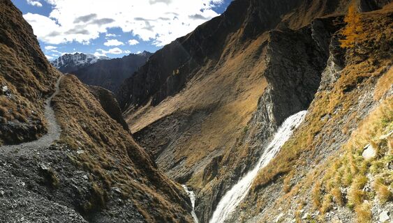
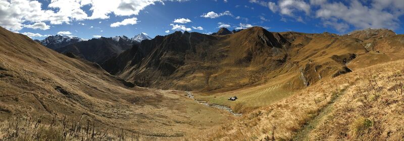
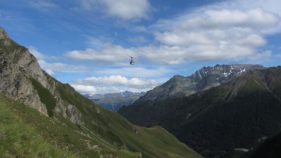
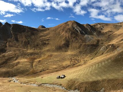
From Samnaun-Ravaisch you initially take the well-developed path from Muttauna toward Salatsch. At the crossing turn left and continue along the path to Tschischanaderet. Then follow the hiking path toward the waterfall of the Salaaser river; here a short, somewhat exposed passage is secured with a rope. Now the path crosses the high moor at the "Salaaser Wisen" before you encounter the trail towards Alp Trider saddle at Hüttenboden near the alpine cabin. Right next to the alpine cabin you will find flowering edelweiss on the limestone rock on the left side of the road. From Hüttenboden, a well-maintained path leads towards the Alp Trider saddle. From the Alp Trider saddle you can reach Samnaun-Ravaisch with the Twinliner.

Samnaun-Ravaisch, Planner Salaas, Alp Trider Sattel
Tak
Good shoes, rain and sun protection, water bottle, bandages.
The tour has been evaluated under favorable weather conditions. Current weather conditions and weather forecasts must be taken into account before the tour starts. This hike requires elementary alpine experience, orientation skills, hiking boots are recommended.
Emergency call:
144 Emergency call, first aid
1414 Mountain rescue REGA
112 International emergency call
From the north: via Landquart - Klosters by car transport through the Vereina tunnel (Selfranga - Sagliains) Then take the H27 in the direction via Scuol and Martina to Vinadi. At the junction Vinadi to Samnaun (about 1 hour from Vereina Südportal)
From the east: via the Inn valley road B180 via Landeck to Pfunds, junction Kajetansbrücke and via Spiss to Samnaun.
From the south: via Reschenpass (Nauders) on B180 to Pfunds, junction Kajetansbrücke and via Spiss to Samnaun.
With the Rhaetian Railway (from Chur, Landquart/Prättigau or from the Upper Engadine) every hour to Scuol-Tarasp station
Continue with the PostBus (from Scuol-Tarasp or Martina, Cunfin) every hour to the PostBus stop Samnaun-Ravaisch, junction
In Samnaun during the day hourly connection with the Samnaunbus to the PostBus stop Samnaun-Ravaisch, junction
parking place at the cable cars in Samnaun-Ravaisch
Kamery internetowe z trasy
Popularne wycieczki w okolicy
Nie przegap ofert i inspiracji na następne wakacje
Twój adres e-mail została dodana do listy mailingowej.


