


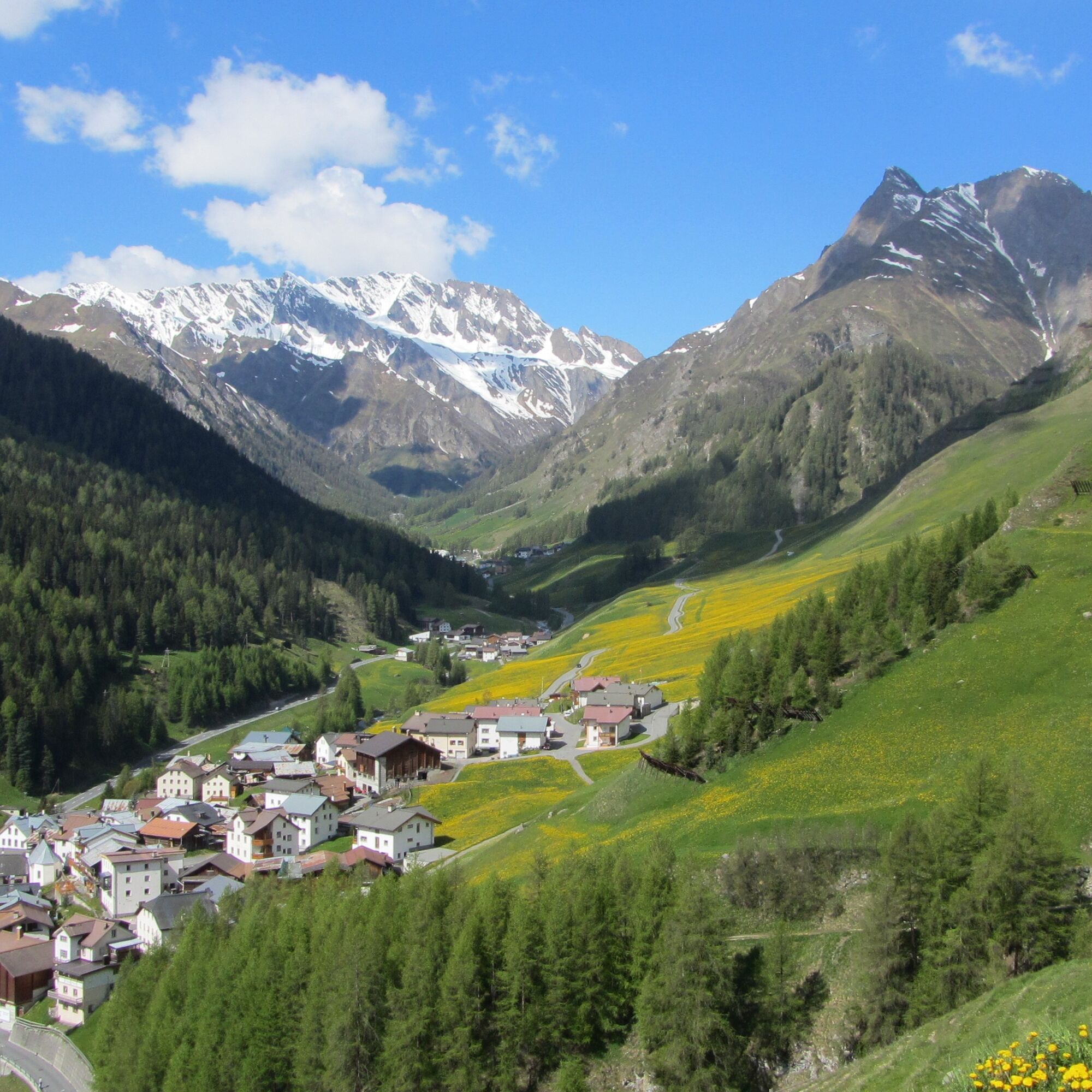
Alptrider Saddle – Alp Trida – Laret


The path from Alptrider Saddle to Alp Trida and Laret is another scenic hiking route in the Samnaun region offering breathtaking views and the opportunity to explore the alpine landscape.
From Alptrider...
The path from Alptrider Saddle to Alp Trida and Laret is another scenic hiking route in the Samnaun region offering breathtaking views and the opportunity to explore the alpine landscape.
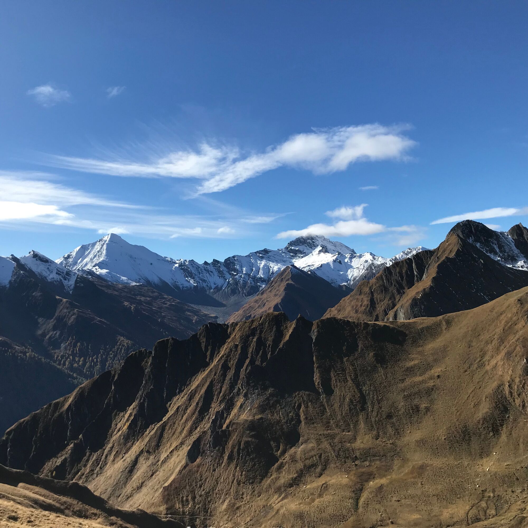
From Alptrider Saddle, the path leads through mountainous terrain and offers panoramic views of the surrounding peaks and valleys. The Alptrider Saddle itself is a saddle or pass situated between mountain ranges, often offering impressive views to hikers.
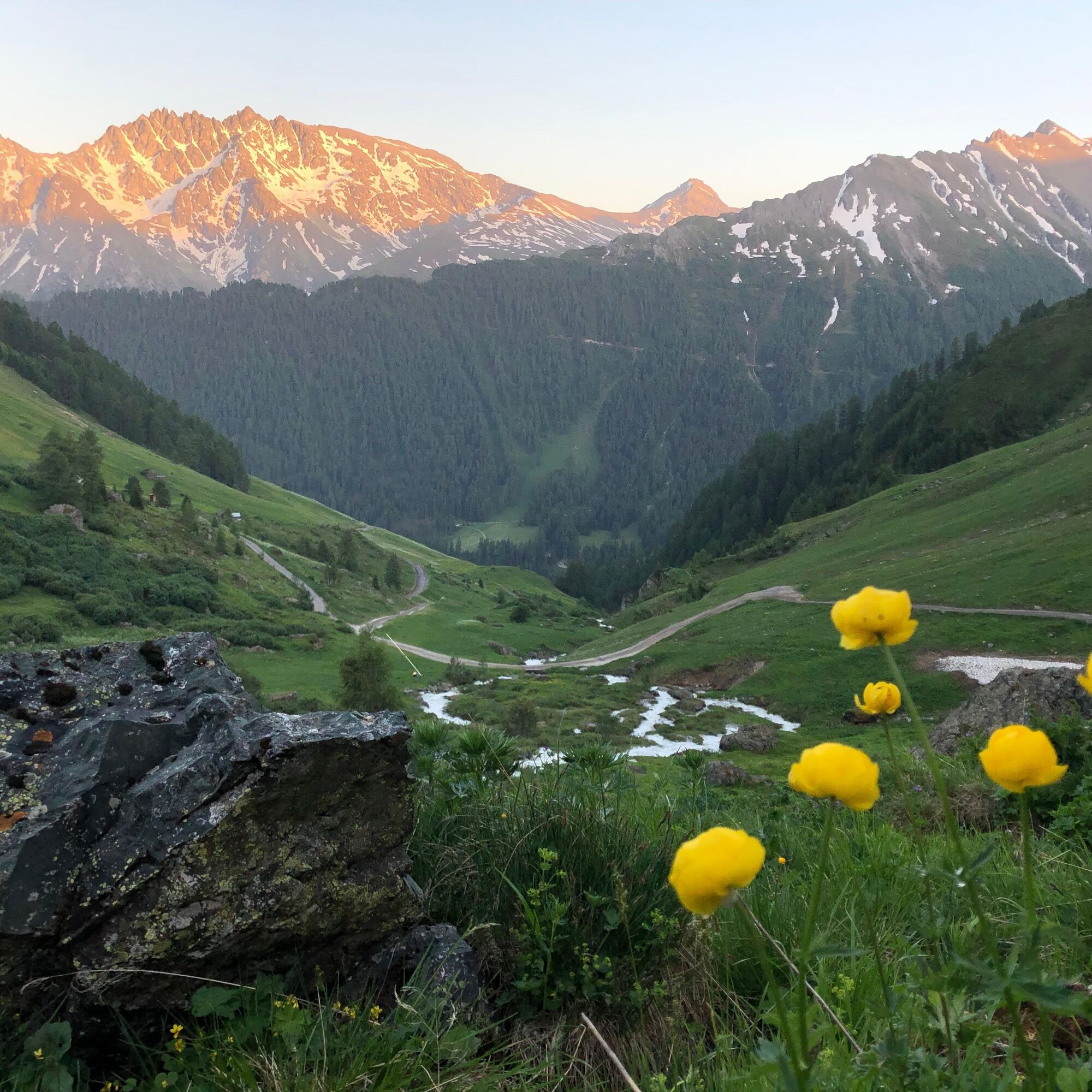
On the further path to Alp Trida, you cross alpine pastures, may encounter grazing cattle, and experience the tranquility of the high alpine environment. At Alp Trida, there are mountain huts where you can rest, refresh, and enjoy the beauty of the landscape.
From Alp Trida, the path continues on to Laret, which could offer further views of the Samnaun valley and its charming landscapes.

Down from the mountain station to Alp Trida (optional by chairlift)
past the ski house
from here it goes downhill, towards Samnaun-Laret
Good footwear, rain and sun protection, drinking bottle, first aid kit.
The route was rated under favorable weather conditions; the current weather conditions and forecasts must be strictly observed before starting the tour. This hike requires basic alpine experience and orientation skills. Trekking shoes are recommended.
144 Emergency call, first aid
1414 Mountain rescue REGA
112 International emergency call
From the north: via Landquart – Klosters by car shuttle through the Vereina tunnel (Selfranga - Sagliains). Then on H27 towards, via Scuol to Pfunds, turn-off Kajetansbrücke. From the Kajetansbrücke turn-off to Samnaun. From the east: via Inn valley road B180 via Landeck to Pfunds, turn-off Kajetansbrücke and via Spiss to Samnaun. From the south: via Reschenpass (Nauders) on B180 to Pfunds, turn-off Kajetansbrücke and via Spiss to Samnaun.
By the double-decker train from Samnaun-Ravaisch to the Alp Trida saddle.
By the Rhaetian Railway (from Chur, Landquart/Prättigau or from Upper Engadin) hourly to Scuol-Tarasp station
Then by PostAuto (from Scuol-Tarasp) hourly to PostAuto stop Samnaun-Ravaisch, mountain railways
In Samnaun hourly service with the Samnaun bus during the day
Free parking spaces at the mountain railways in Samnaun-Ravaisch.
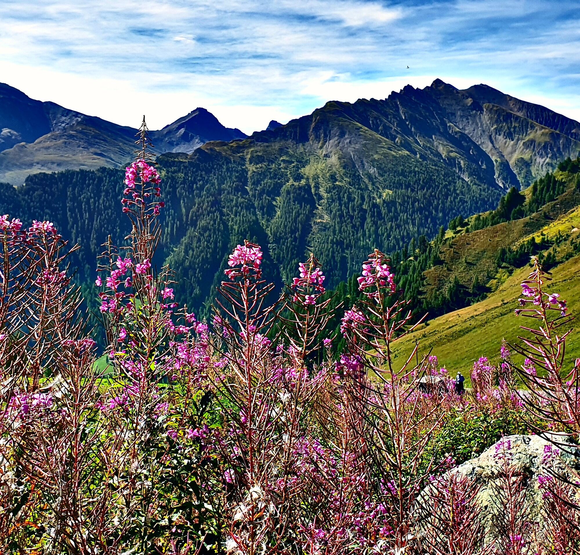
Beautiful world of flowers
Popularne wycieczki w okolicy
-
4,8
Murmeltierwanderweg
średniWędrówka 6,87 km -
4,3
Sonnenkogel - Friedrichshafener lodge
średniWędrówka 13,2 km -
5,0
Rundwanderung Berglisee, Mathon
ciężkiWędrówka 11,1 km -
4,5
Radurschelklamm
średniWędrówka 7,51 km -
4,9
Furgler vom Lazid
ciężkiWycieczka wysokogórska 9,60 km -
5,0
Kappl, Diasbahn Bergstation, Niederelbehütte, Diasbahn, Österreich
średniWędrówka 10,1 km -
5,0
Samnaun Dorf – Muttler
ciężkiWędrówka 14,8 km -
Suspension Bridge Trail Val Sinestra – Zuort – Griosch – Vnà
średniWędrówka 11,0 km -
3,6
Bergstation Silvretta nach Patznauener Taja
światłoWędrówka 11,6 km -
4,7
Friedrichshafener Hütte und Panoramablick auf Galtür, Jamtal und Silvretta Hochalpenstrasse
średniMountainbike 31,1 km
Wędrówki i tropienie


Nie przegap ofert i inspiracji na następne wakacje
Twój adres e-mail została dodana do listy mailingowej.