


Samnaun-Compatsch-Fliesser Alp-Spiss Round Tour


The tour begins in the centre of Samnaun-Compatsch and leads steadily uphill through the mountain forest on the culture trail into the Zanders valley. After crossing the Malfragbach stream and thus the...
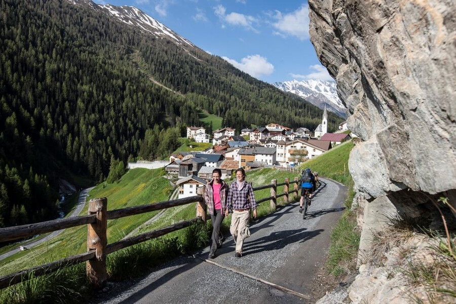
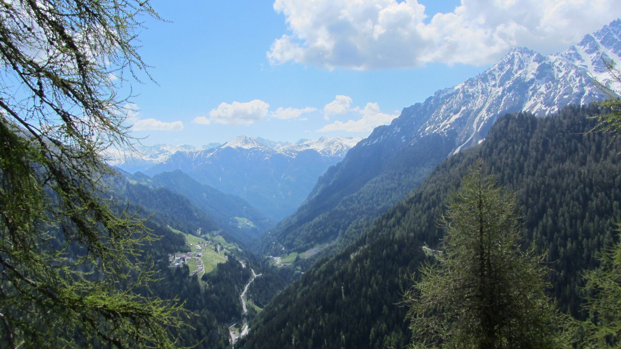
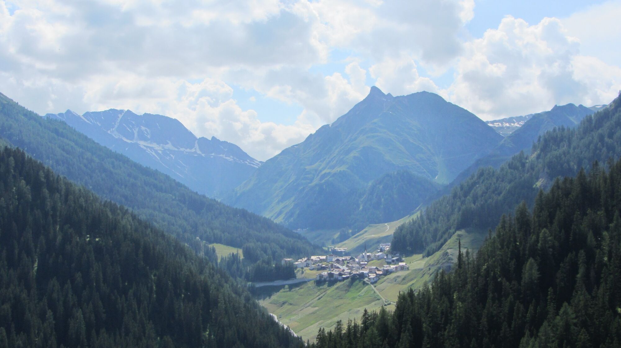
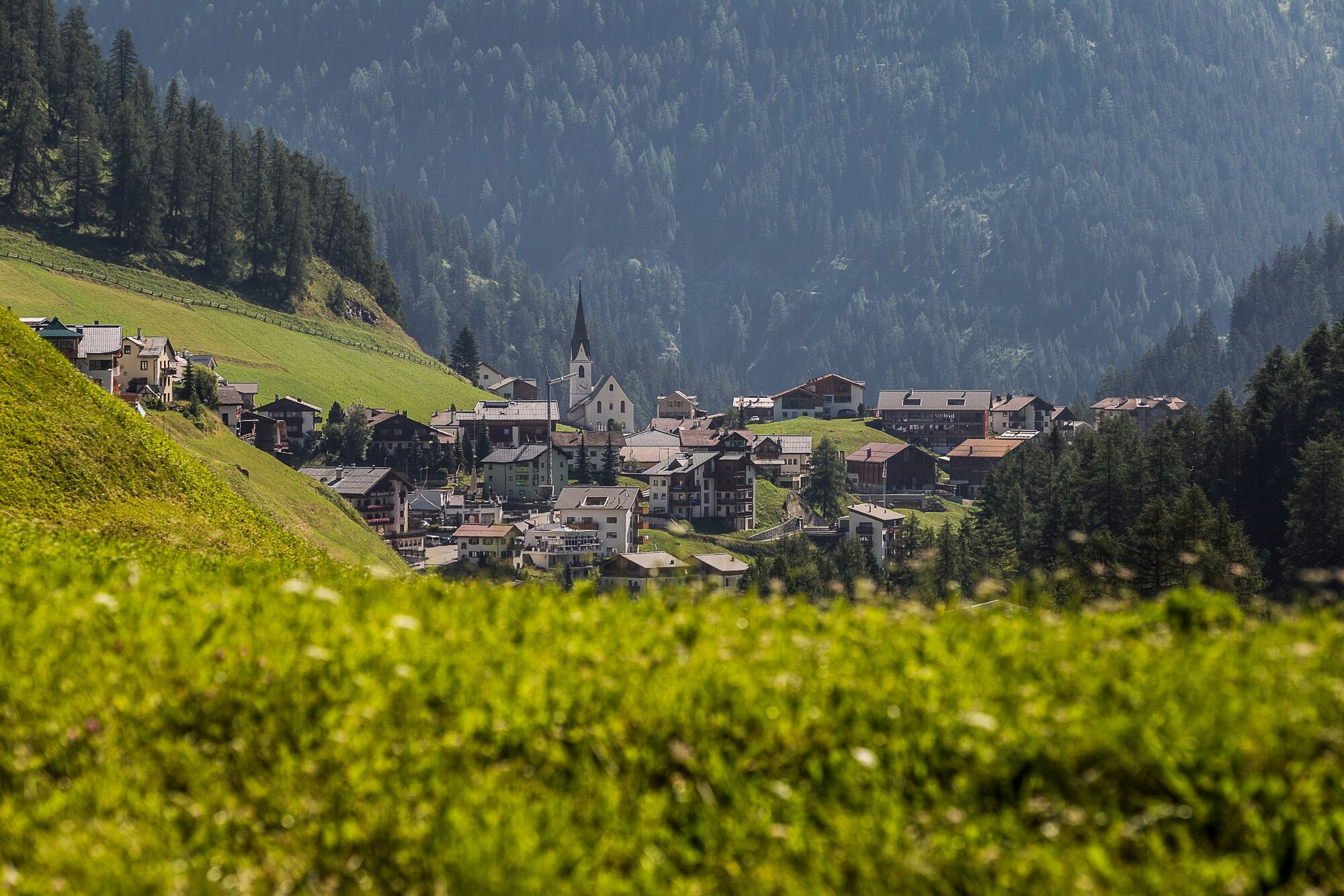
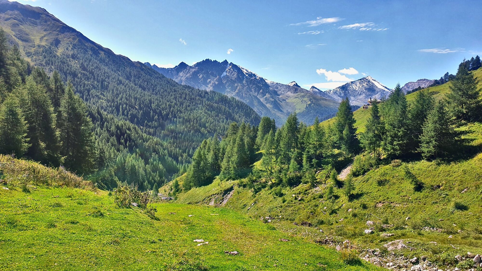
The tour begins in the centre of Samnaun-Compatsch and leads steadily uphill through the mountain forest on the culture trail into the Zanders valley. After crossing the Malfragbach stream and thus the national border, the trail goes up through the Zanderswiesen meadows to the Fliesseralpe alp. After a stop for refreshments, the trail continues directly under the alp to the Zandersbach stream. Past a beautiful playground with a fireplace, the trail continues after an easy descent to Spiss (1678 m above sea level), the highest municipality in Austria. At the church in Spiss, turn into the L348 Spisser Strasse, which leads down to the customs in Spissermühle. For about 1.5 km the tour follows the main road back to Samnaun-Compatsch.

Start in the centre of Samnaun
Along the national border into the Zander Valley (via Val da Mot and Val Scüra)
Crossing of the Malfragbach (point 1725)
Along the Zanderswiesen meadows to the Fliesseralpe pasture
Crossing of the Zandersbach
Along the stream to Malfragbach
Towards Spiss via Muttakopf
Descent to Oberspiss and Spiss 1678m
Follow the main road for approx. 1.5km (until the sawmill)
Follow the forest road south of the Schergenbach to Laret
In the village back to Samnaun-Compatsch
Tak
Helmet, gloves, good shoes, glasses, rain and sun protection, water bottle, repair kit, first aid kit
The tour was evaluated in favourable weather conditions, the current weather conditions and weather forecasts must be observed before the tour starts. This tour does not make any great demands on driving safety or technical skills.
Emergency call:
144 Emergency call, first aid
1414 Mountain rescue REGA
112 International emergency call
Be considerate when crossing and overtaking hikers. Most of the mountain bike routes in Graubünden run on single trails that are also signposted as hiking trails. Hikers always have the right of way.
Von Norden: über Landquart – Klosters per Autoverlad durch den Vereinatunnel (Selfranga - Sagliains) oder über den Flüelapass ins Unterengadin auf H27, ab Vinadi links abbiegen Richtung Samnaun bis Samnaun-Compatsch
Von Osten: via Landeck / Österreich in Richtung Reschenpass auf der B180, ab Kajetansbrücke Richtung Spiss – Samnaun auf der L348
Von Süden: via Reschenpass nach Kajetansbrücke, dort Richtung Spiss – Samnaun auf der L348
By Rhaetian Railway (from Chur, Landquart/Prättigau or from the Upper Engadine) hourly to Scuol-Tarasp station.
Continue by PostBus to the PostBus stop Samnaun-Compatsch, adventure pool
From Samnaun village or from Martina hourly to Samnaun-Compatsch, adventure pool
Public parking at the adventure pool or at the church
Popularne wycieczki w okolicy
- 4,8
Murmeltierwanderweg
średniWędrówka6,87 km - 4,6
Quellenweg & Panorama Genussweg
światłoWędrówka10,5 km - 4,5
Radurschelklamm
średniWędrówka7,51 km - 4,9
Furgler vom Lazid
ciężkiWycieczka wysokogórska9,60 km - 5,0
Rundwanderung Berglisee, Mathon
ciężkiWędrówka11,1 km - 5,0
Kappl, Diasbahn Bergstation, Niederelbehütte, Diasbahn, Österreich
średniWędrówka10,1 km - 5,0
Samnaun Dorf – Muttler
ciężkiWędrówka14,8 km - 3,6
Bergstation Silvretta nach Patznauener Taja
światłoWędrówka11,6 km Nauders: Schweiz-Runde
Mountainbike32,6 km- 5,0
Holzkugelweg Gemeinde Serfaus, Tirol/Österreich
światłoWycieczki górskie2,72 km
Wędrówki i tropienie


Nie przegap ofert i inspiracji na następne wakacje
Twój adres e-mail została dodana do listy mailingowej.