


Faedis castle loop
From the parking lot to the center of the village of Faedis, proceed for about six hundred meters along Via dei Castelli towards Canebola until you find the start of the actual path, indicated by specific...
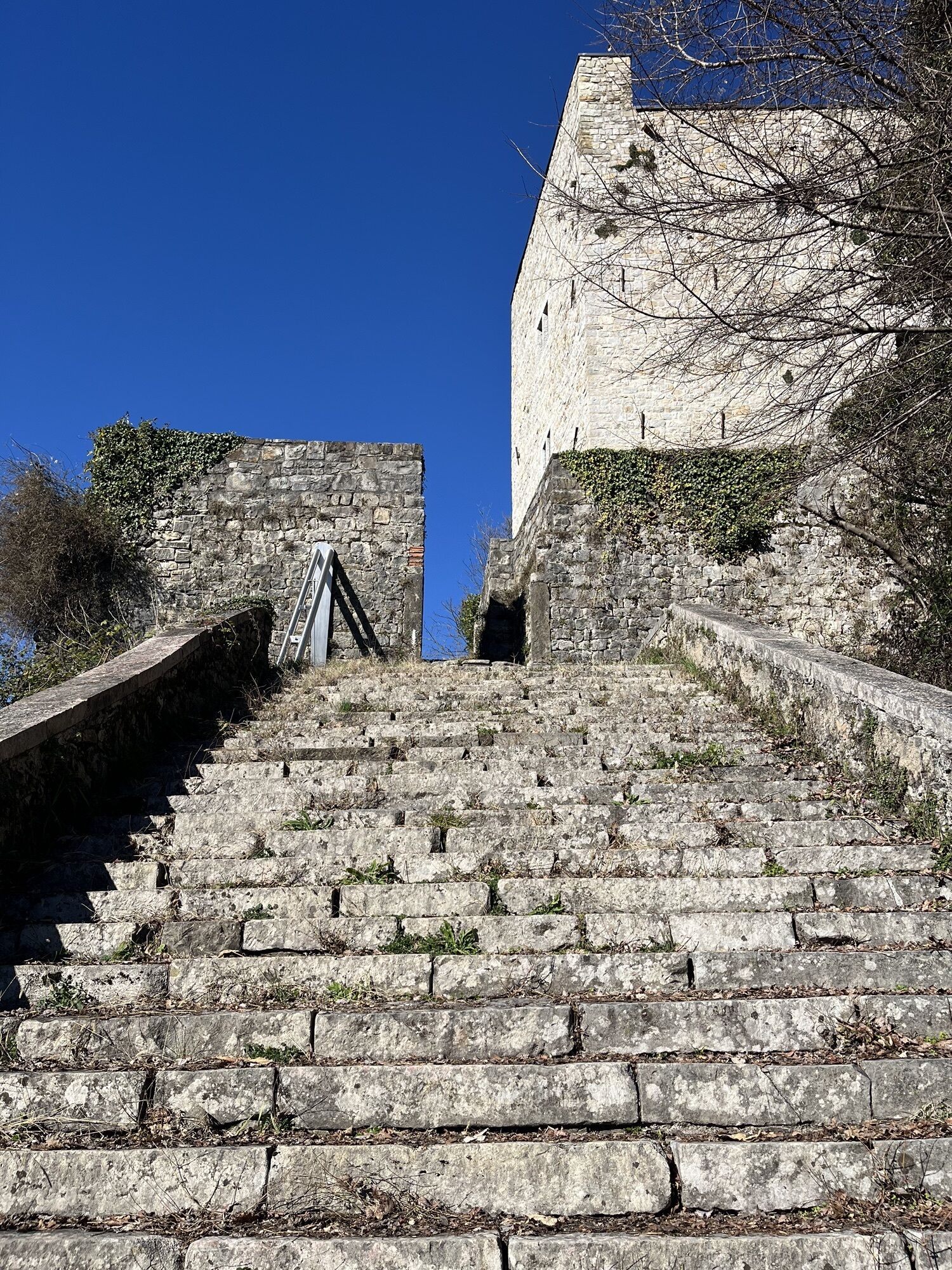
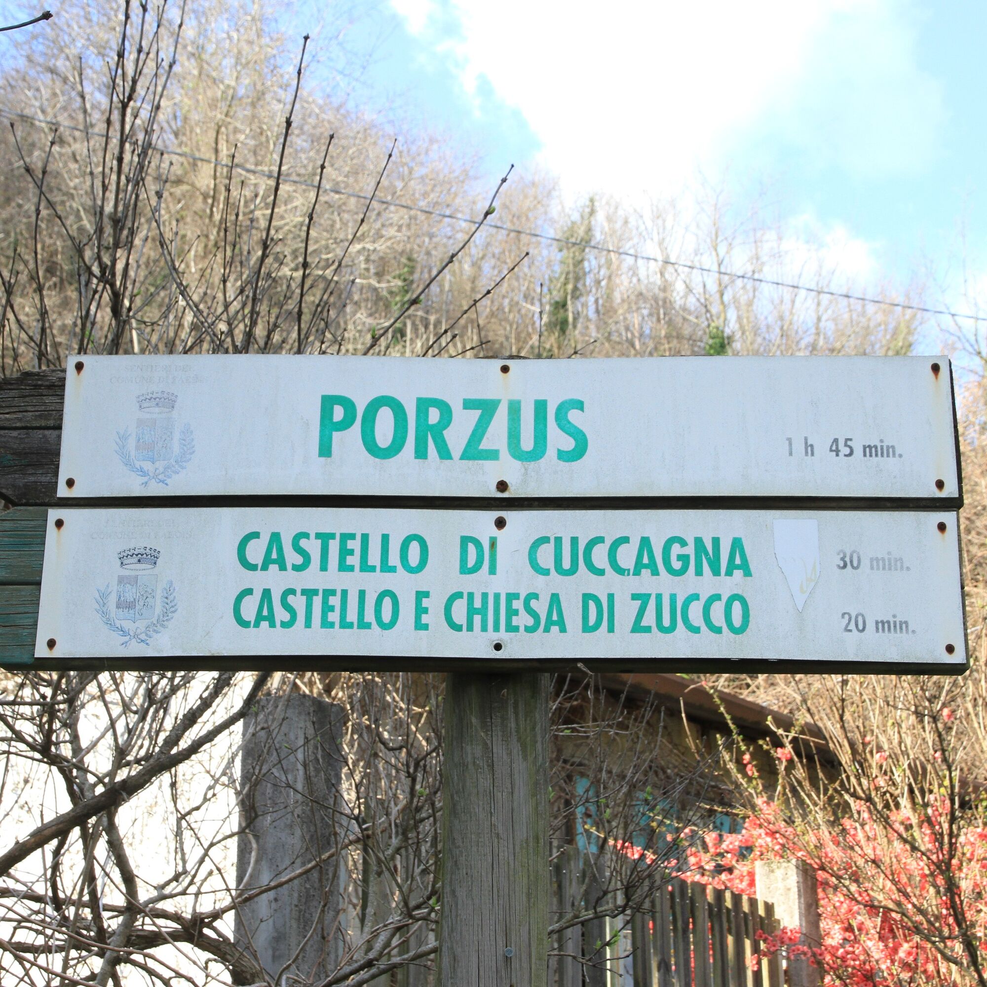
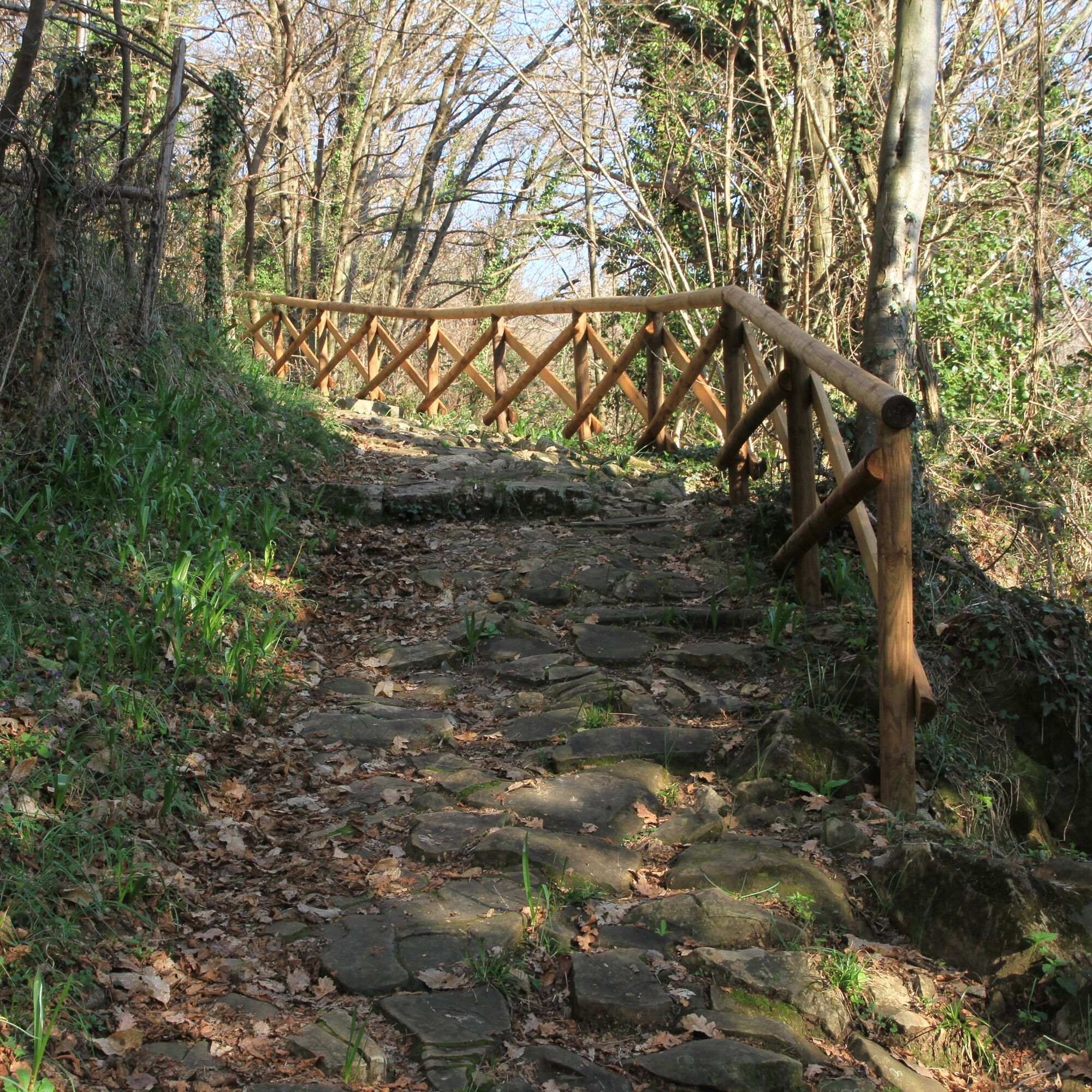
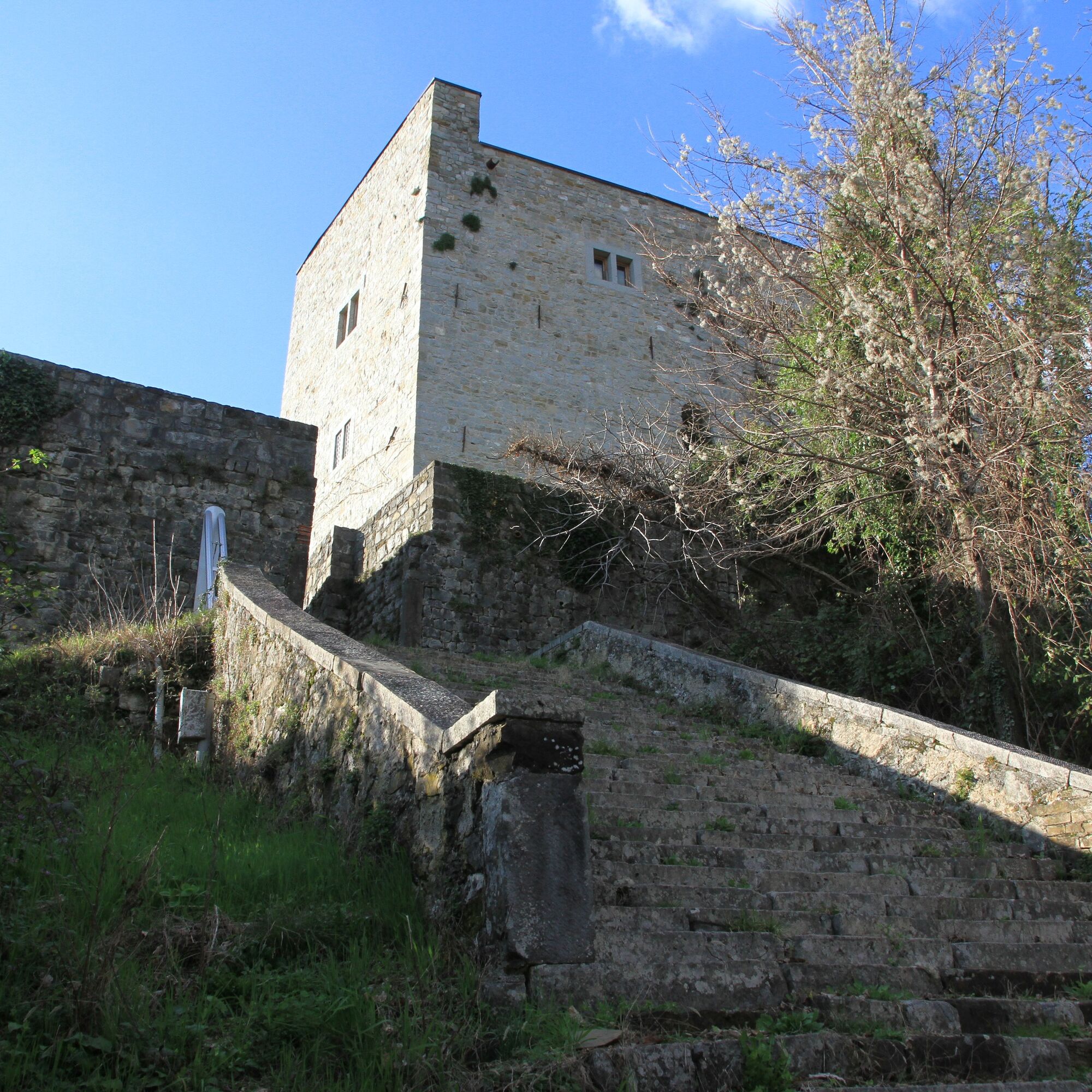
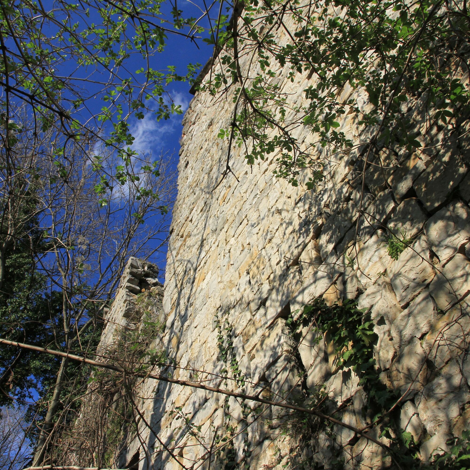
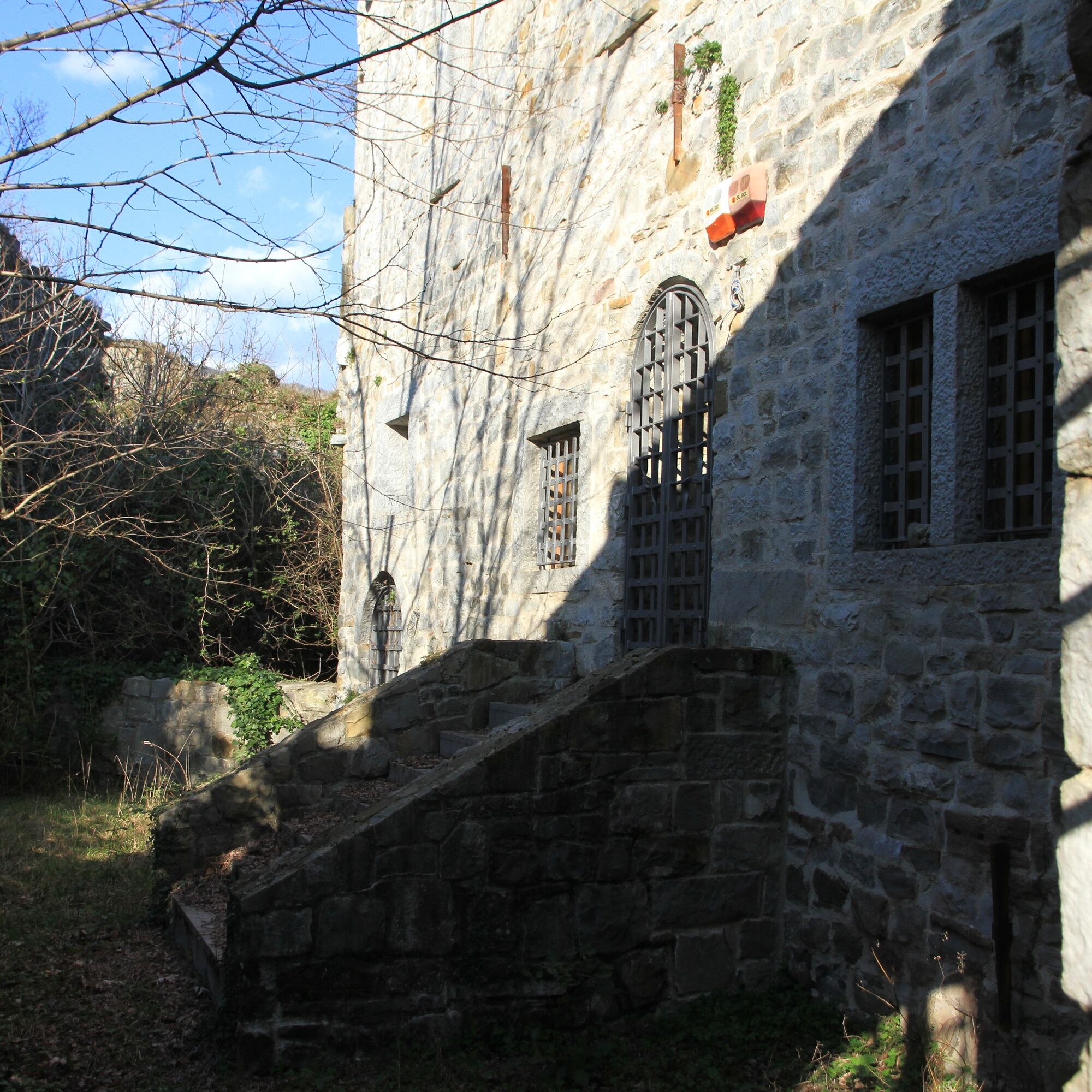
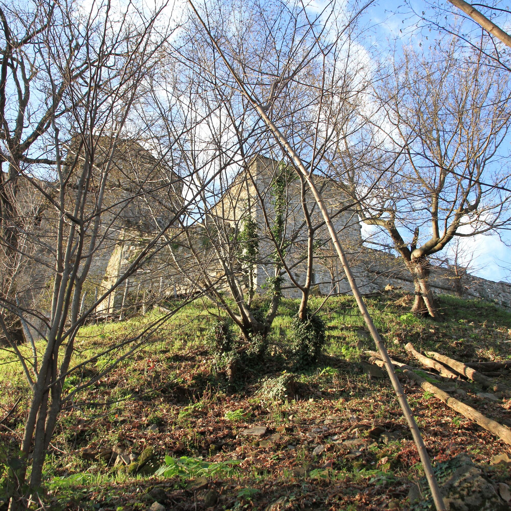
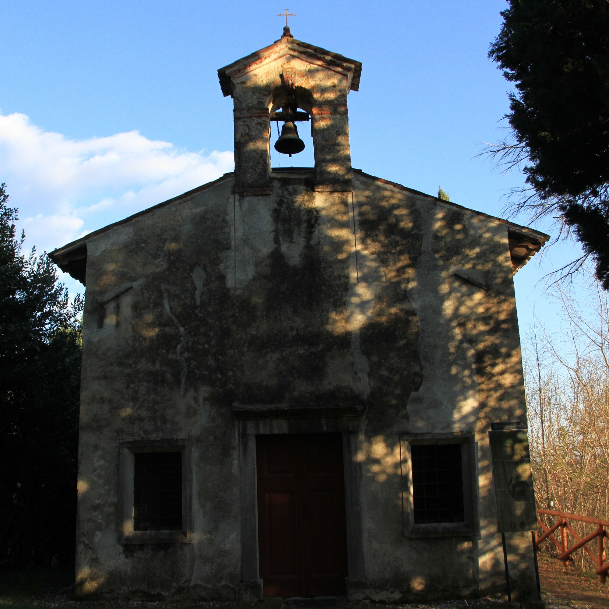
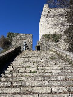
From the parking lot to the center of the village of Faedis, proceed for about six hundred meters along Via dei Castelli towards Canebola until you find the start of the actual path, indicated by specific signage. From this point, the ascent begins, with an elevation gain of about two hundred meters and a length of about one and a half kilometers. Both castles are located right along the ascent, respectively at 299 and 357 meters above sea level.
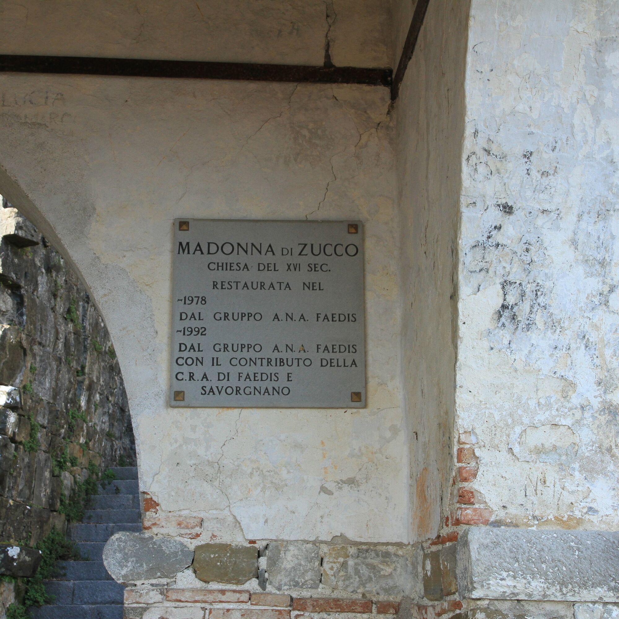
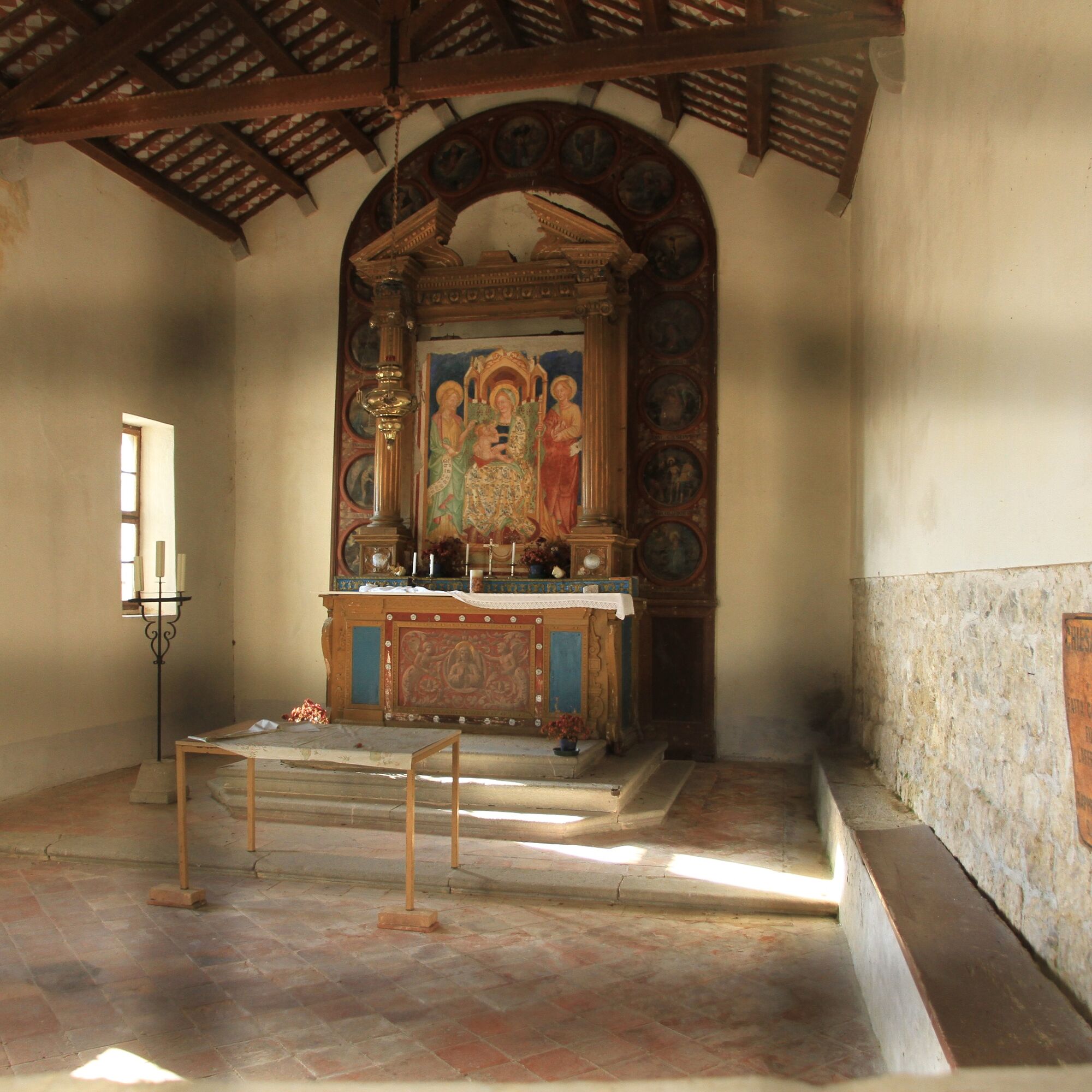
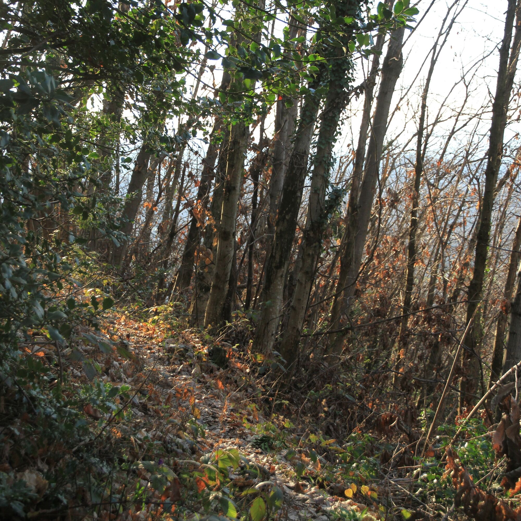
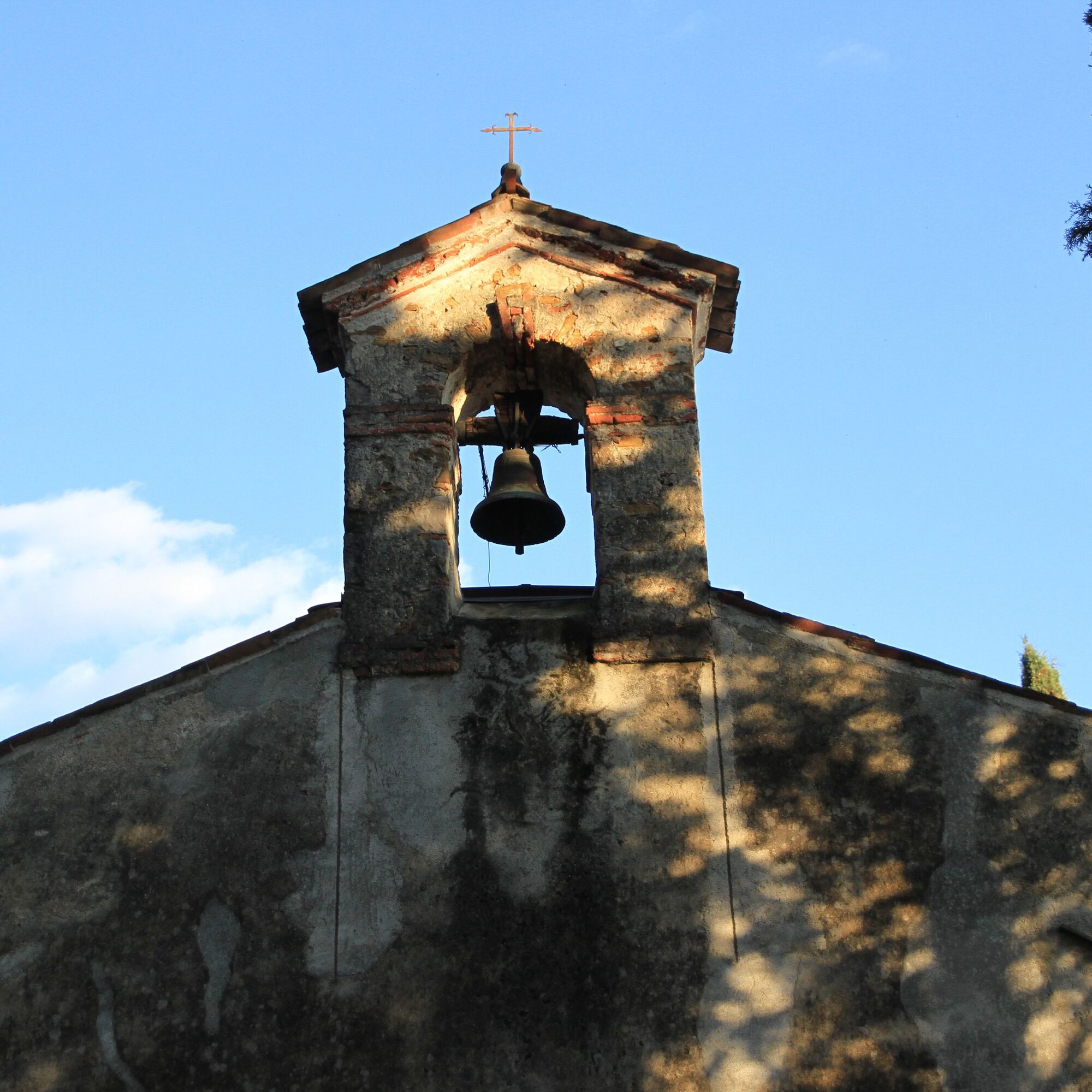
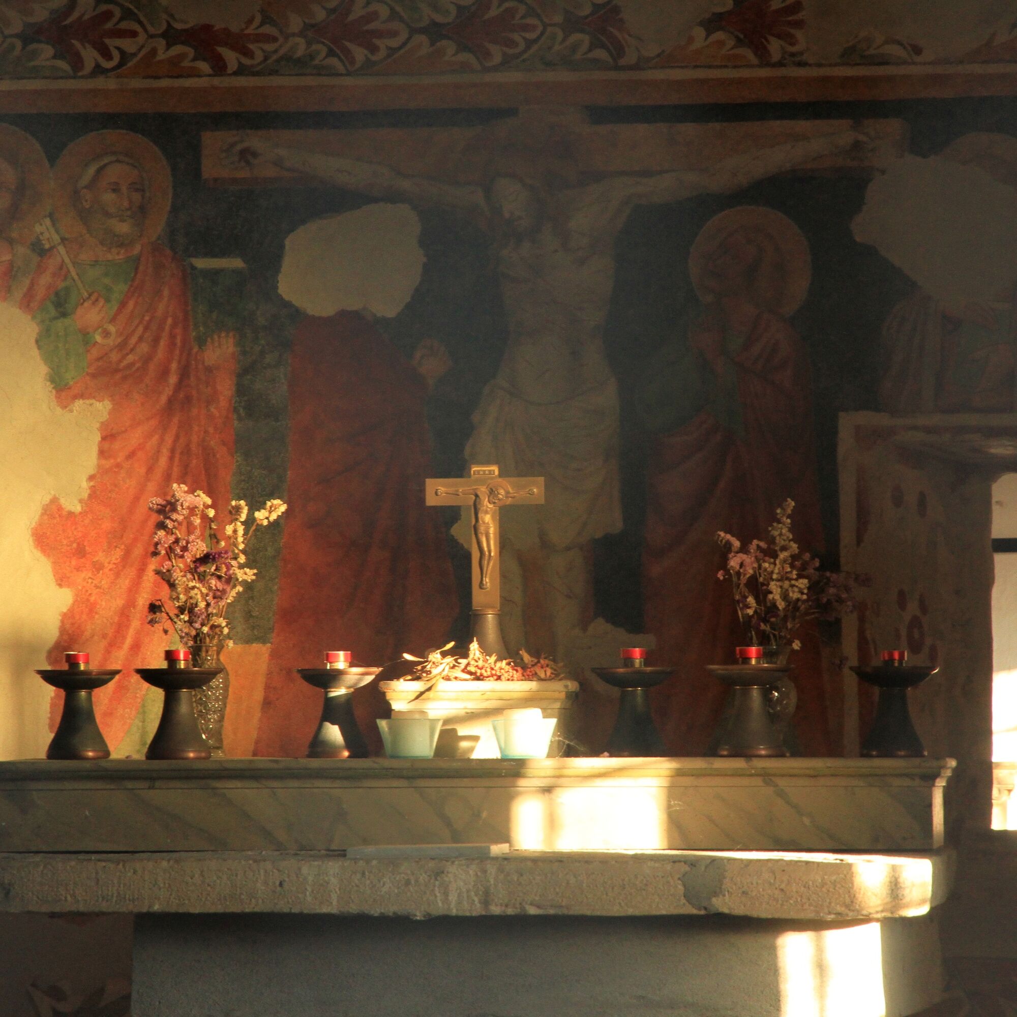
After passing the second castle, the path descends steeply for a few meters and reaches a fork, the first of a series of three: you will continue to the right. You will do the same at the next fork, after a few dozen meters. At the third fork, instead, you will continue to the left and follow the entire ridge of the hill before beginning the descent that, after leading you to a medieval chapel dedicated to San Rocco, will bring you back to the parking lot.


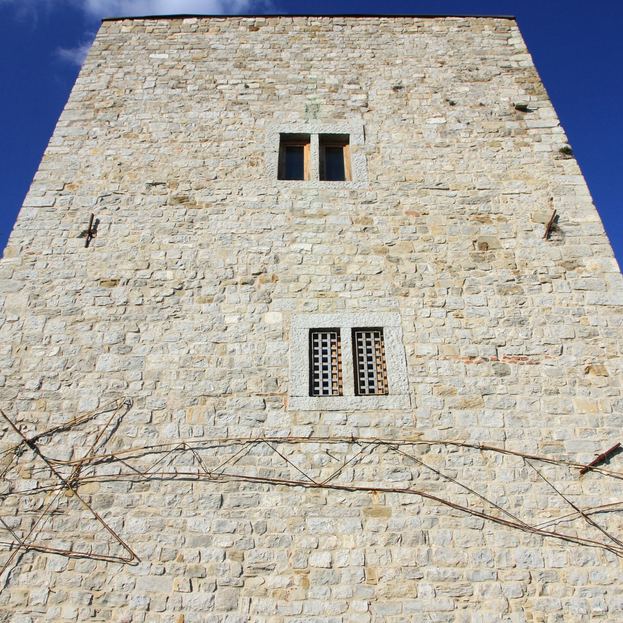
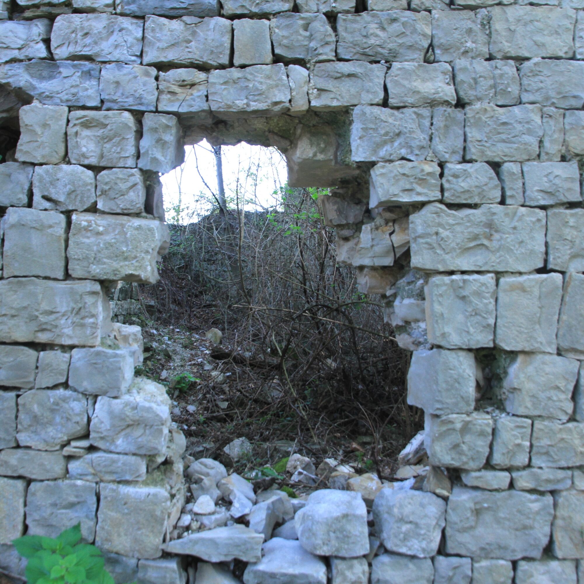

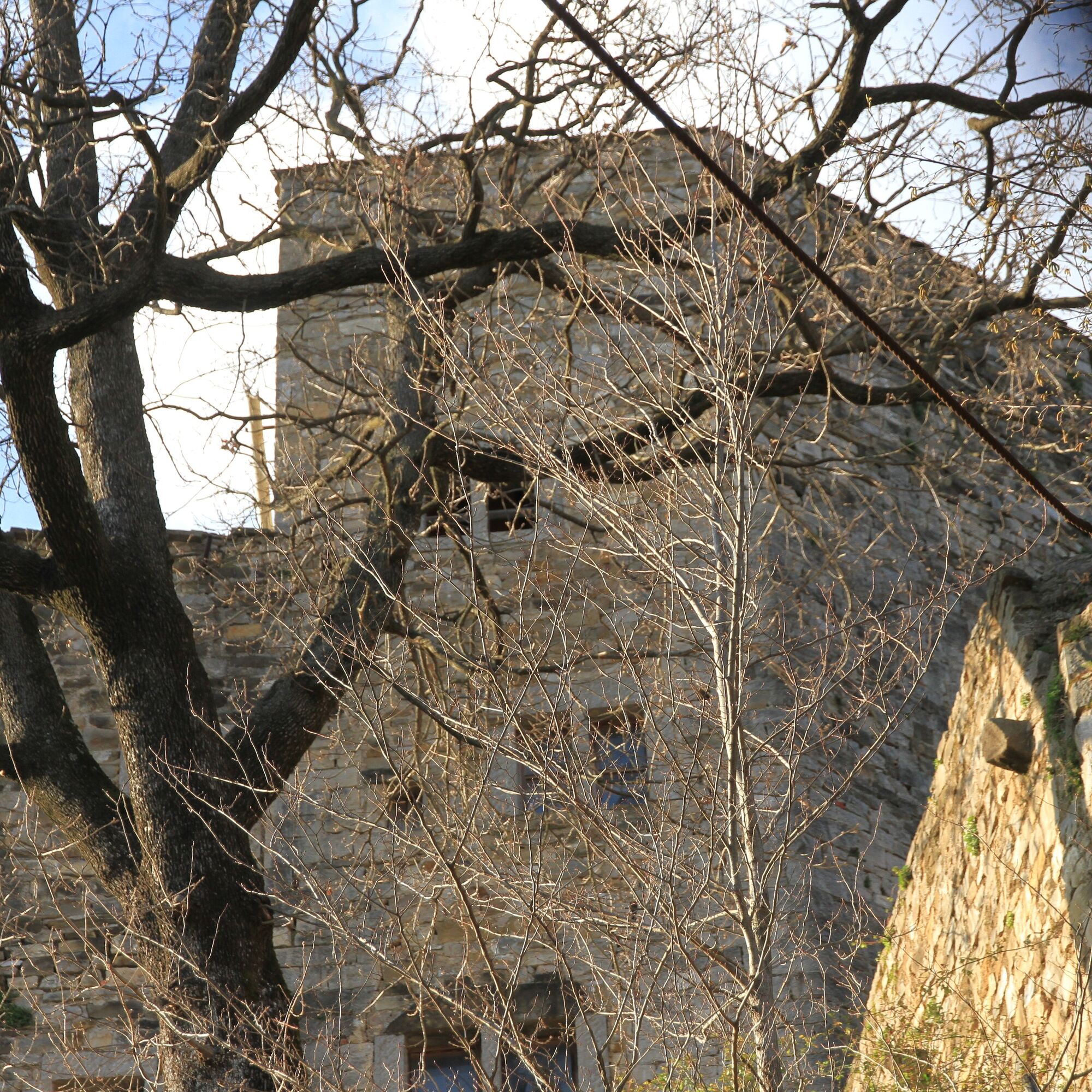


From the parking lot to the center of the village of Faedis, proceed for about six hundred meters along Via dei Castelli towards Canebola until you find the start of the actual path, indicated by specific signage. From this point, the ascent begins, with an elevation gain of about two hundred meters and a length of about one and a half kilometers. Both castles are located right along the ascent, respectively at 299 and 357 meters above sea level.
After passing the second castle, the path descends steeply for a few meters and reaches a fork, the first of a series of three: you will continue to the right. You will do the same at the next fork, after a few dozen meters. At the third fork, instead, you will continue to the left and follow the entire ridge of the hill before beginning the descent that, after leading you to a medieval chapel dedicated to San Rocco, will bring you back to the parking lot.
Tak
Tak
Sportswear and trekking shoes are sufficient to tackle the castle loop.
Nothing special to report.
The starting point coincides with both the public transport stop and a large parking lot.
Public Transport FVG:
Line 246 Gemona del Friuli - Cividale del Friuli
Line 280 Udine - Prossenicco
Line 290 Tarcento - Cividale del Friuli
To check schedules: https://www.mycicero.it/tplfvg-go/TPWebPortal/it
The starting point coincides with both the public transport stop and a large parking lot.
It is recommended to visit the Archaeological Museum of Attimis for a more complete overview of the origin and function of the foothill castles in the area.
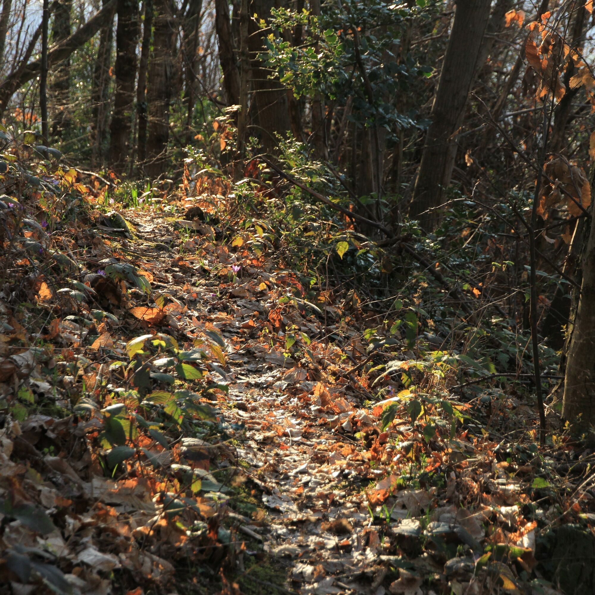
Like all the foothill paths at such low altitudes, the Faedis castle loop is at its best in February and March, when the following conditions occur:
-it is not yet warm
-the vegetation is still limited
-spring flowers such as crocuses, lungwort, primroses, etc. bloom
During this period, for gathering wild garlic along the path, it is strongly recommended to pay attention to the presence of colchicum, which is highly toxic.

Popularne wycieczki w okolicy
- 4,8
FVG1 Trasa rowerowa Alpe Adria (C100)
średniKolarstwo długodystansowe 179,3 km - 4,8
Tarvisio - Gorizia: od gór do winnic (CX01)
średniKolarstwo długodystansowe 155,8 km - 5,0
Monte Stella, między małymi wioskami i rozległymi widokami
światłoWędrówka 9,18 km - 4,0
Matajur (1642 m) from Marsin
średniWędrówka 10,2 km SOČA VALLEY I2A: Robidišče route
średniJazda na rowerze 24,8 kmPierścień Udine i Cividale (R037)
średniKolarstwo długodystansowe 48,8 km10 thousand steps of health FVG - SAN PIETRO AL NATISONE - route 1
światłoWędrówka 4,26 km- 5,0
Szlak Dolin Natisone (Cividale - Stupizza) (P006)
średniKolarstwo długodystansowe 20,5 km FVG3d - wariant z winnicą (C3V1)
średniKolarstwo długodystansowe 57,0 kmPierścień średniowiecznych zamków (R036)
średniKolarstwo długodystansowe 61,5 km
Wędrówki i tropienie


Nie przegap ofert i inspiracji na następne wakacje
Twój adres e-mail została dodana do listy mailingowej.