


St. Coloman circular route


This circular route from the Tegelbergbahn cable car via St. Coloman's Church to Schwangau promises unique views of the Schwangau mountain scenery and the royal castles of Neuschwanstein and Hohenschwangau....
This circular route from the Tegelbergbahn cable car via St. Coloman's Church to Schwangau promises unique views of the Schwangau mountain scenery and the royal castles of Neuschwanstein and Hohenschwangau. The circular tour is particularly recommended for people with limited mobility and families. Benches at the church of St. Coloman and on the Deichelweg invite you to take a break and enjoy the beautiful views. The entire circular route is stepless. An accompanying person is recommended.

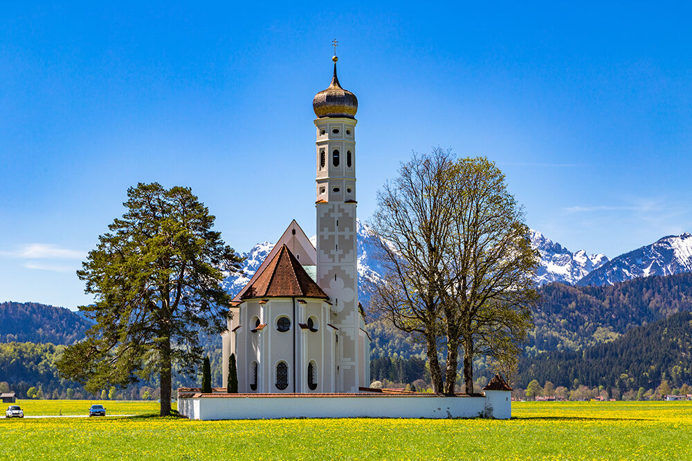
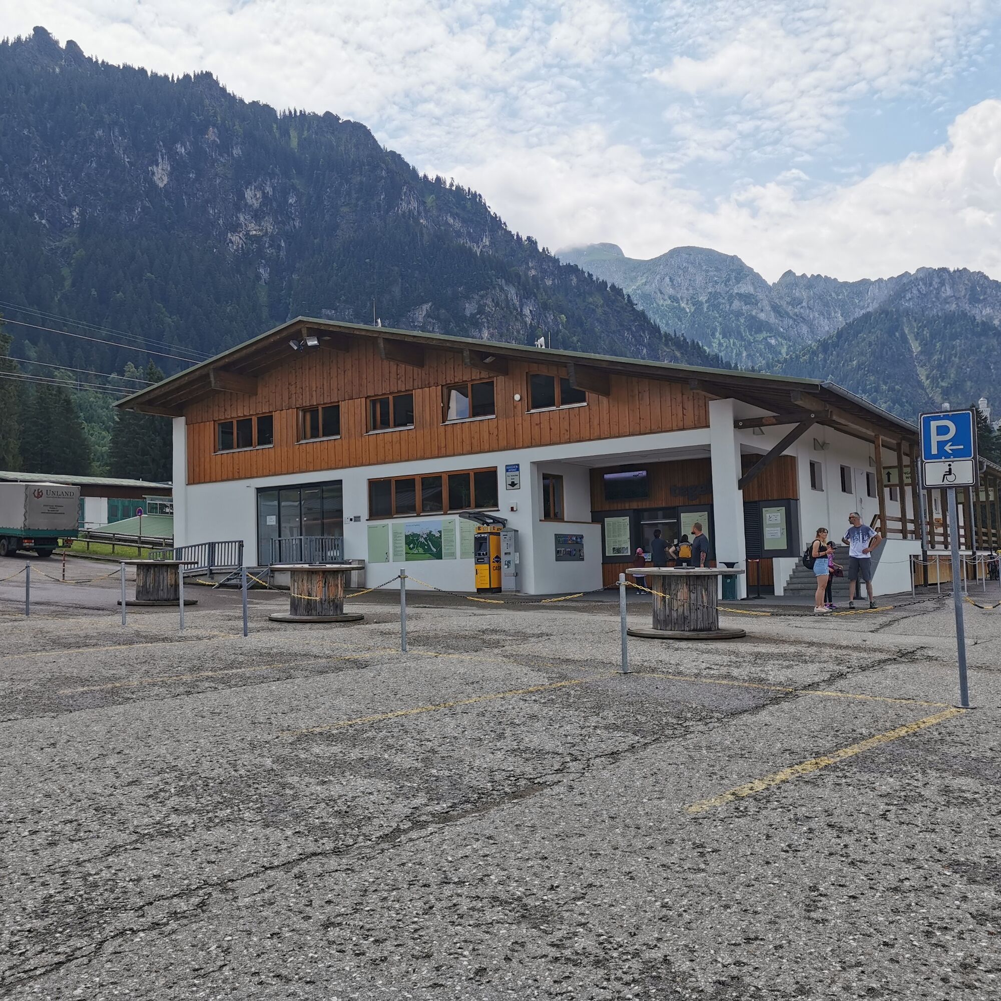
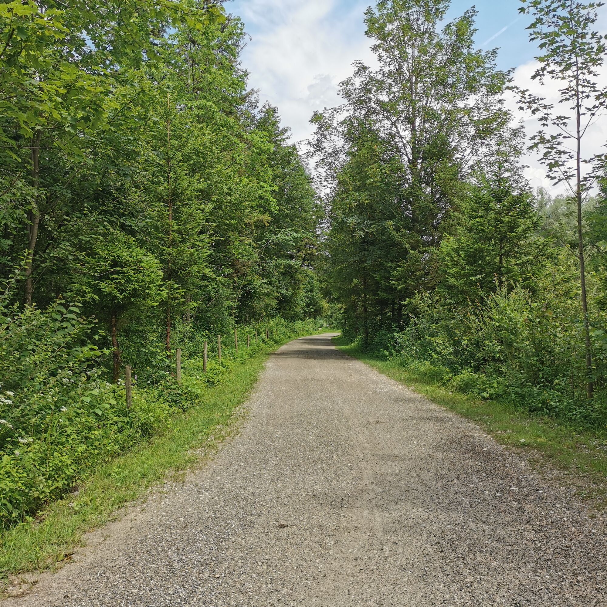
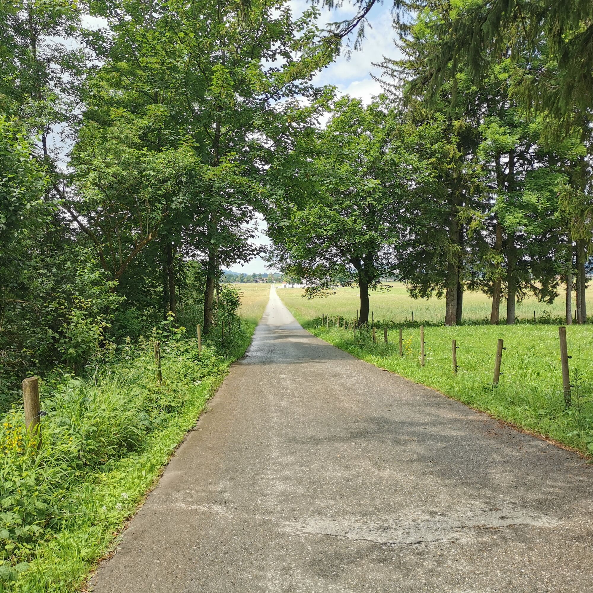
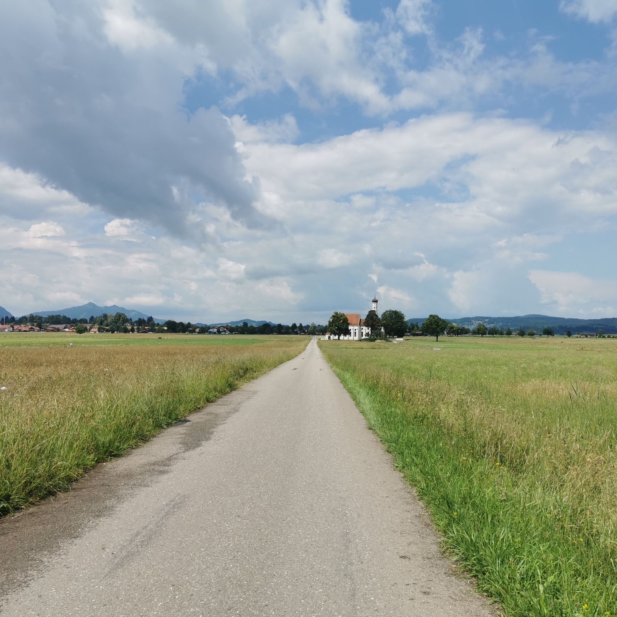
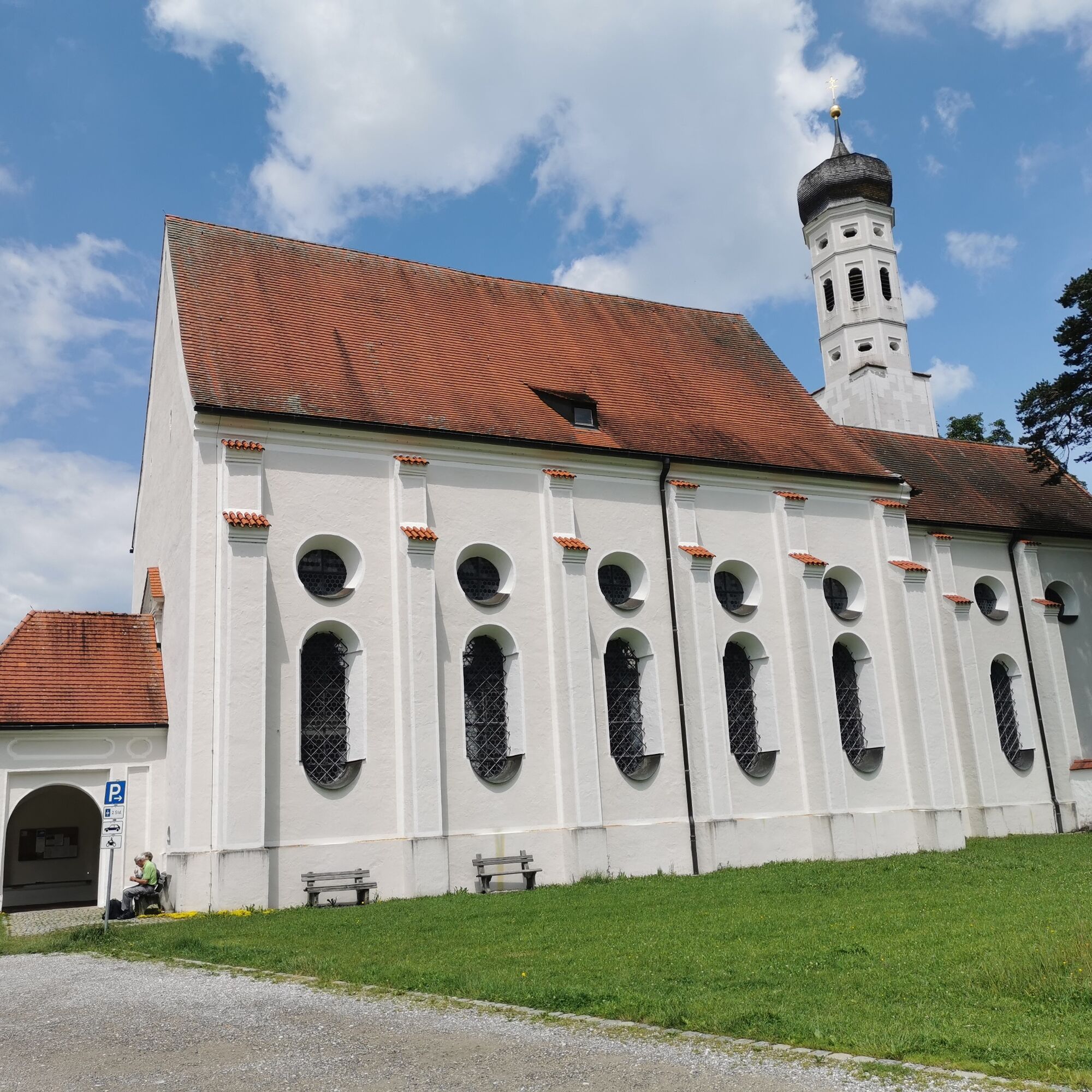
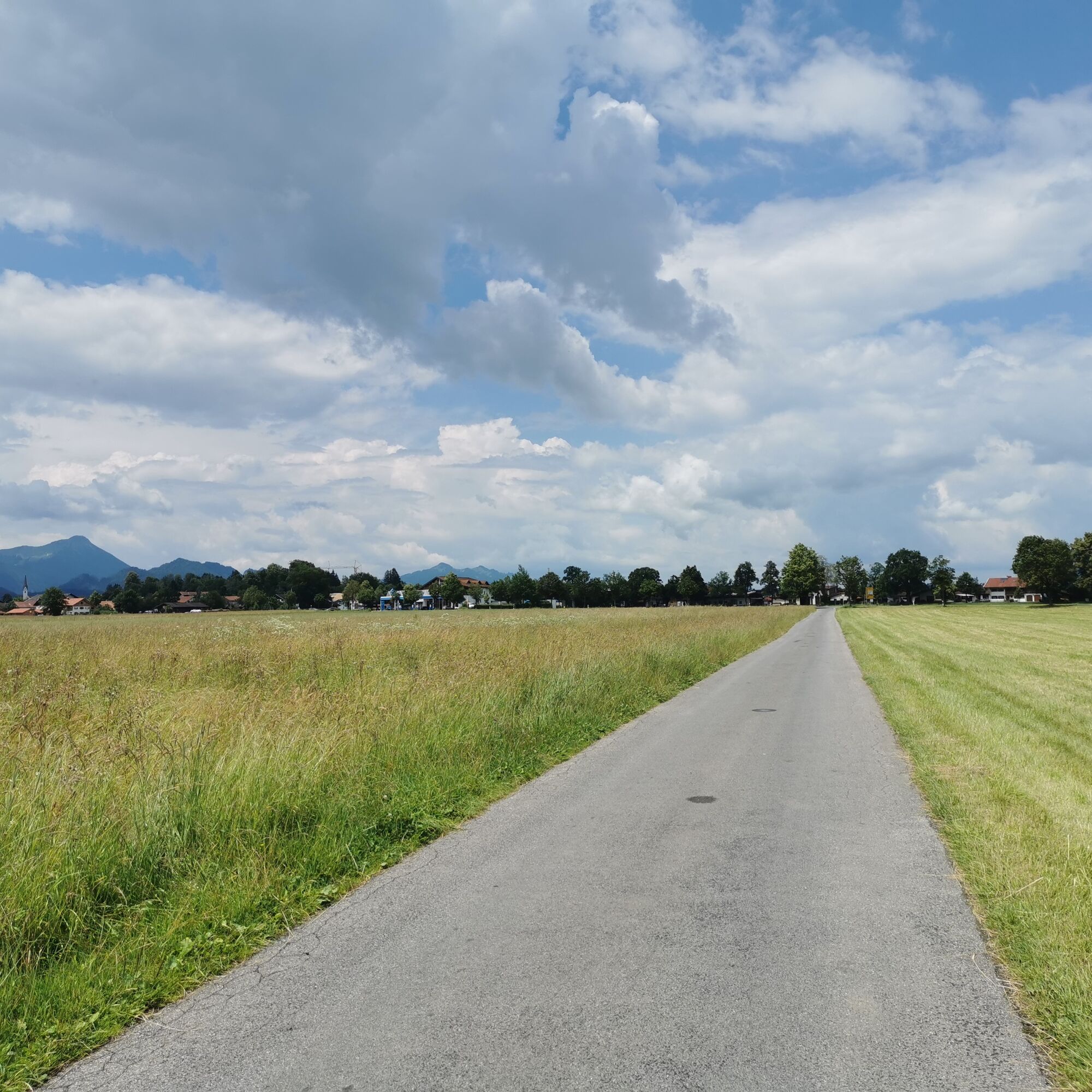
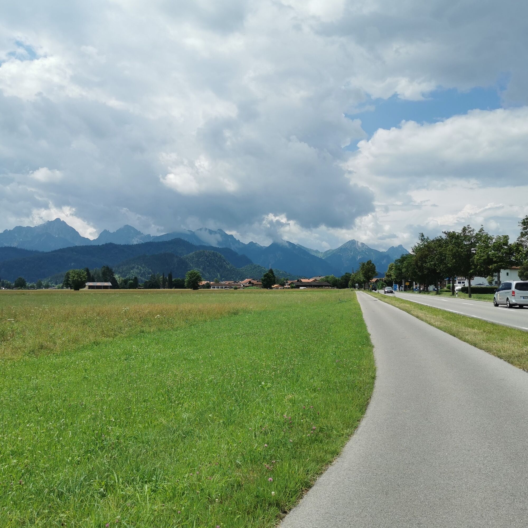
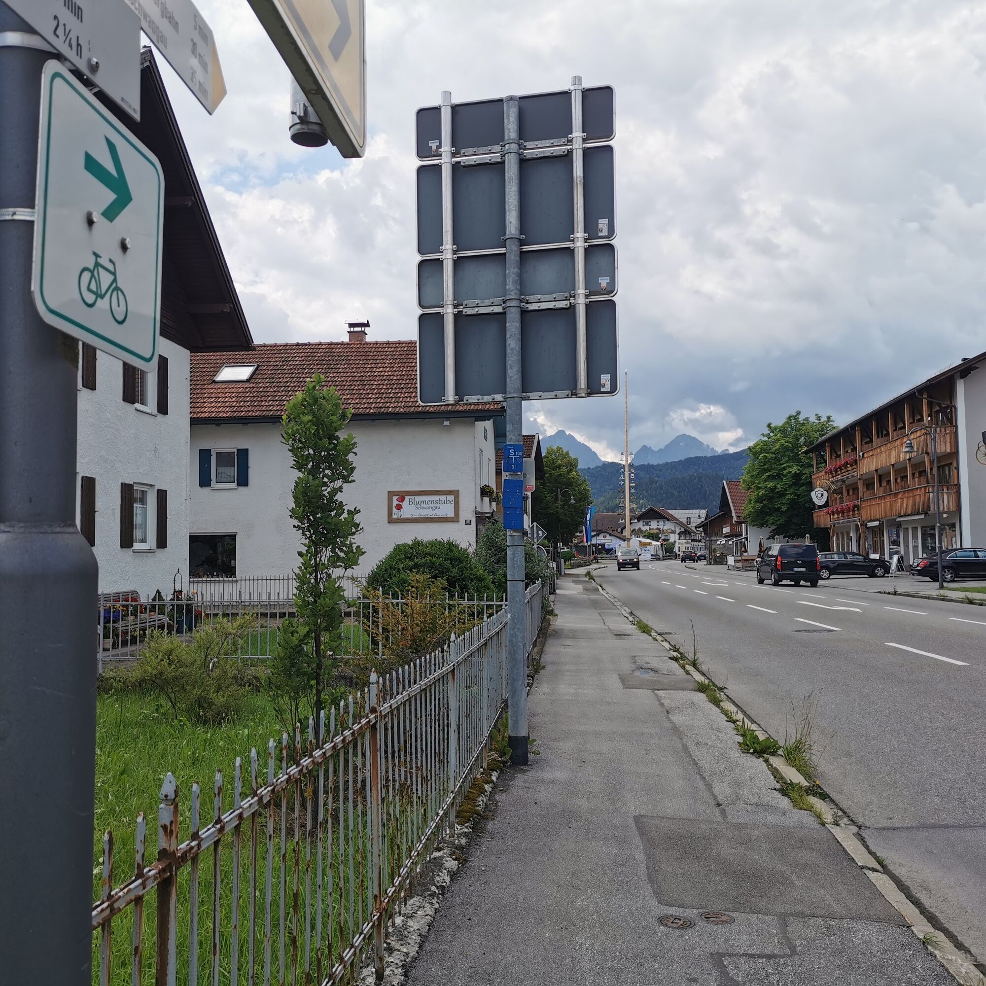
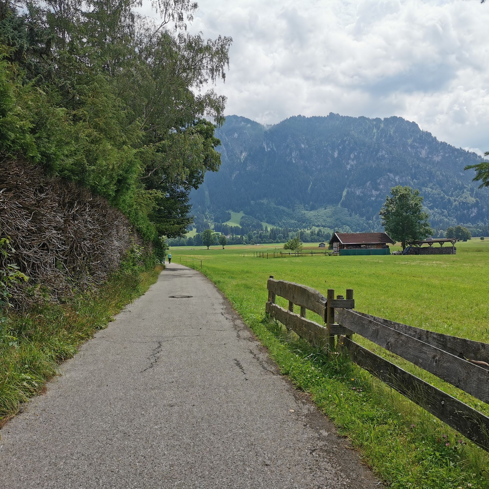
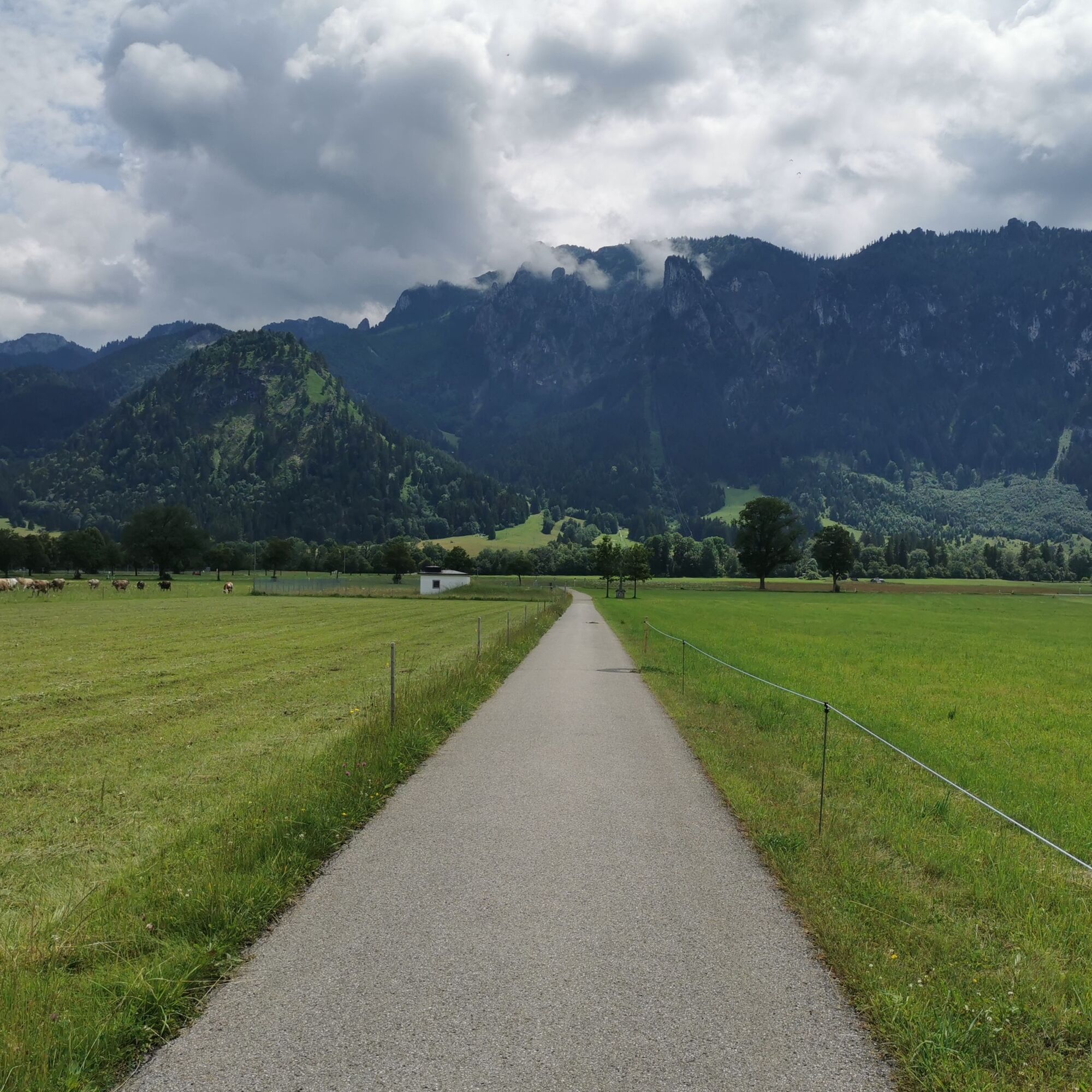
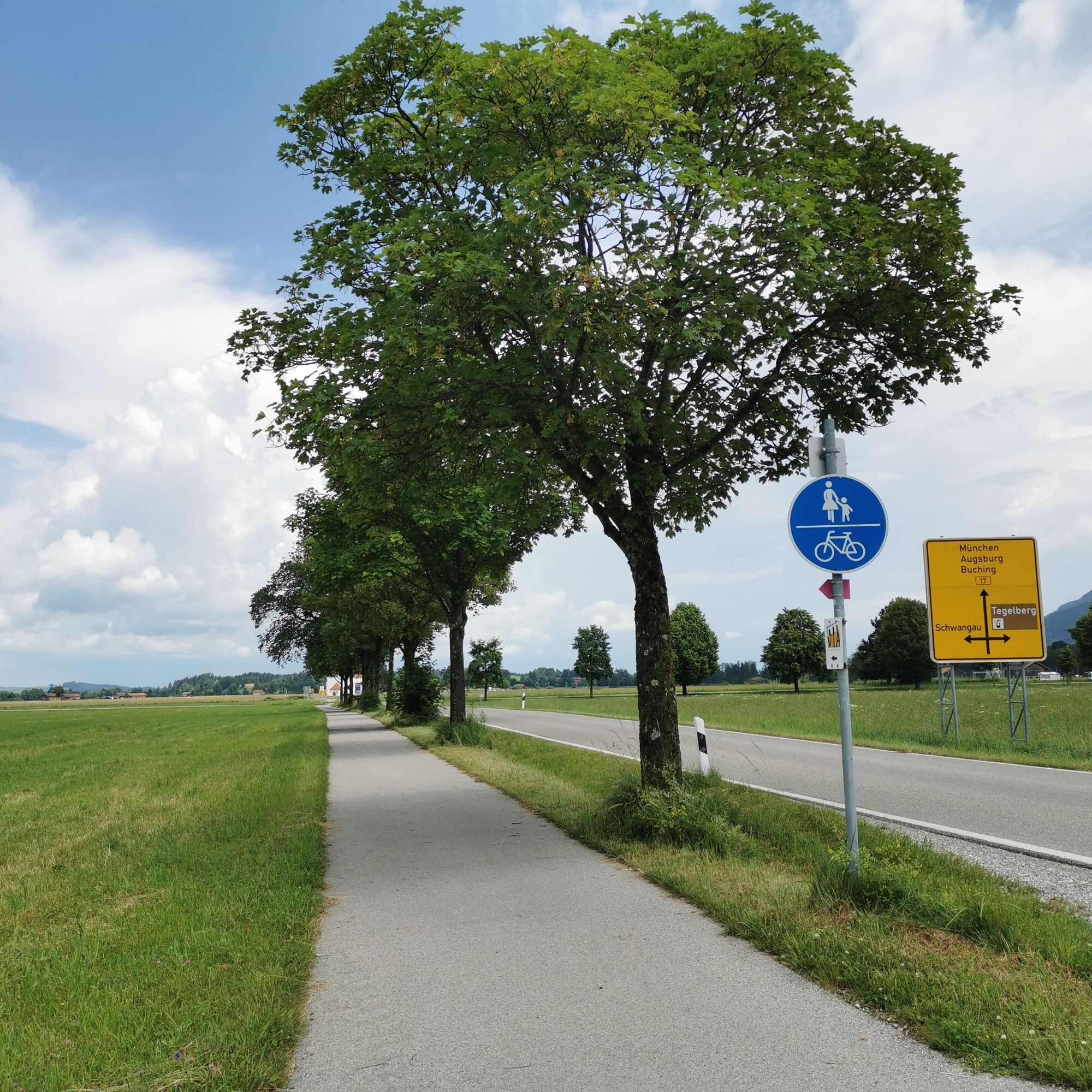
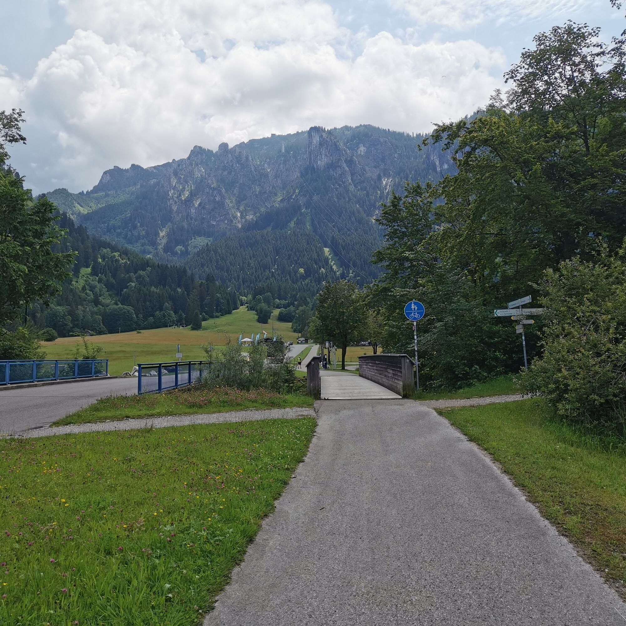
The easy circular hike starts at the parking lot of the Tegelbergbahn Schwangau. There you will find disabled parking spaces and disabled toilets. The tour starts from the parking lot in the direction of Schwangau. Here you walk downhill for 0.5 kilometers, 20 meters in altitude (gradient 4%). After passing a wide wooden bridge, turn right and walk along the gravel path alongside the "Pöllat" stream. After about 600 meters, the path crosses a tarred road with little traffic. Shortly before this, the gravel path descends a little. The circular tour then turns left onto the tarred road, which leads directly to the pilgrimage church of St. Coloman. You will reach the church after about 500 meters. There are benches to rest on. After a short rest, the route continues to Schwangau. On the cycle path along the B17, you come directly into the village and onto the sidewalk there. Stay on this path until you reach the town hall. Turn left into the Deichelweg and walk along it. You can enjoy the breathtaking view of the Schwangau mountain scenery and the royal castles of Neuschwanstein and Hohenschwangau from a bench along the way. Follow the Deichelweg along this wonderful view until you reach the end and turn left onto the footpath. After a few meters, cross Colomanstraße and follow the path next to the road back to the starting point. Here the route climbs another 20 meters over 0.5 kilometers.
Tak
Tak
Tak
Bus stop Tegelberg Schwangau
Parking lot Tegelbergbahn
You can find cozy places to stop for refreshments at www.schwangau.de/tisch.
There are disabled parking spaces and a disabled toilet at the Tegelberg valley station, at the starting point. This is accessible with a Euro key, which can be borrowed from the ticket office. The toilet is only open during the opening hours of the Tegelbergbahn.
As the hike is a circular tour, it is possible to start at any time. At the town hall in Schwangau (Deichelweg), for example, there is also a disabled parking space and a disabled toilet. However, this is only open during the opening hours of the town hall.
You can find more information on barrier-free facilitieshere.
Kamery internetowe z trasy
Talstation
Tegelbergbahn Bergstation
Tegelberghaus
Füssen - Wellness Hotel Sommer
Segelclub Füssen
Camping Hopfensee
Camping Hopfensee
Talstation
Talstation
Talstation
Talstation
Tegelbergbahn Bergstation
Tegelbergbahn Bergstation
Tegelbergbahn Bergstation
Tegelbergbahn Bergstation
Talstation
Talstation
Tegelbergbahn Bergstation
Schloss Hohenschwangau
Schloss Hohenschwangau
Schloss Hohenschwangau
Schloss Hohenschwangau
Schloss Hohenschwangau
Schloss Hohenschwangau
Schloss Hohenschwangau
Schloss Hohenschwangau
Ludwigs Festspielhaus Füssen
Ludwigs Festspielhaus Füssen
Ludwigs Festspielhaus Füssen
Ludwigs Festspielhaus Füssen
Ludwigs Festspielhaus Füssen
Ludwigs Festspielhaus Füssen
Ludwigs Festspielhaus Füssen
Rieden am Forggensee - Salenberghof
Forggensee
Tegelbergbahn Bergstation
Schwangau - Blick auf den Tegelberg
Hotel Hirsch
Hotel Hirsch
Hotel Hirsch
Popularne wycieczki w okolicy
- 4,6
Mountain hike to the Aggenstein
ciężkiWędrówka15,3 km - 4,8
Around Weißensee
światłoWędrówka6,12 km - 5,0
Hiking tour to Breitenberg
ciężkiWędrówka15,6 km - 4,8
Do schroniska Bad Kissinger Hütte przez Gräner Höhenweg
średniWędrówka13,0 km - 4,5
Traumhafte Panorama Plansee-Umrundung
światłoWędrówka13,8 km - 5,0
Gemeinde Grän, Tirol/Österreich Aggenstein Rundtour über Höhenweg
średniWędrówka9,84 km - 4,6
Hochplatte
średniWędrówka10,4 km - 4,5
Aggenstein wariant 2
średniWędrówka15,4 km - 4,9
Tegelberg | Branderschrofen | Neuschwanstein
średniWędrówka14,8 km - 4,4
Panoramic hike to the Ostlerhütte
średniWędrówka5,11 km
Wędrówki i tropienie


Nie przegap ofert i inspiracji na następne wakacje
Twój adres e-mail została dodana do listy mailingowej.