







Experience circular route Obersasbach

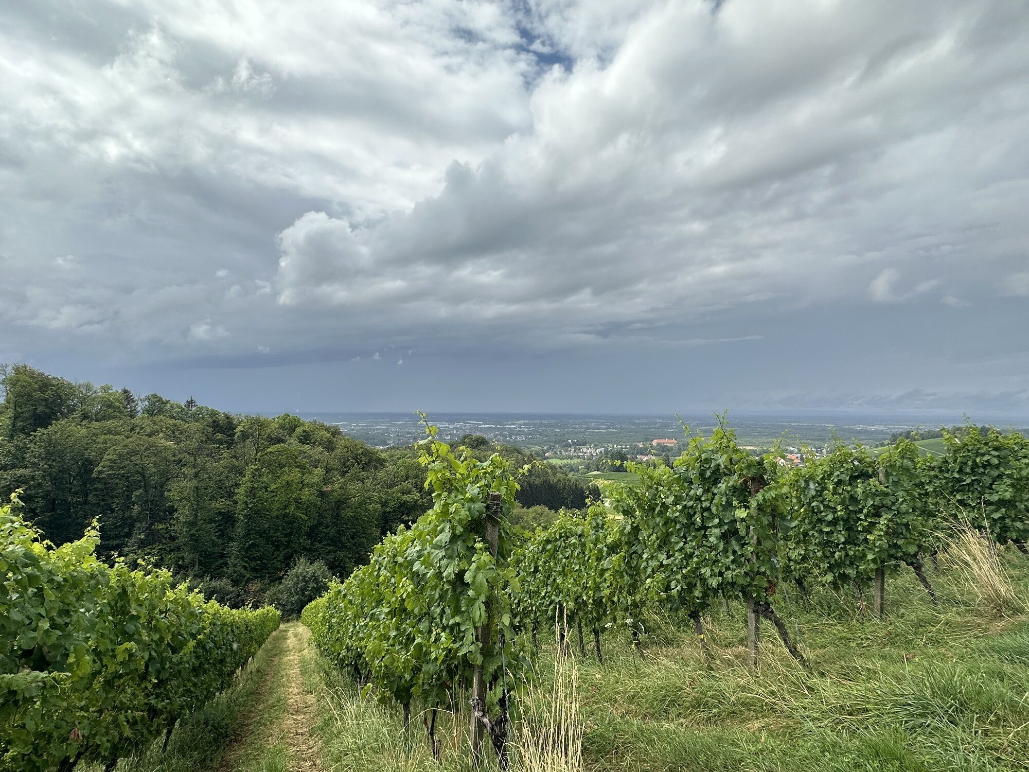
The experience circular route can be walked in three and a half hours and leads hikers to the most beautiful places and special sights that the holiday resort has to offer. At the ten stations, information...
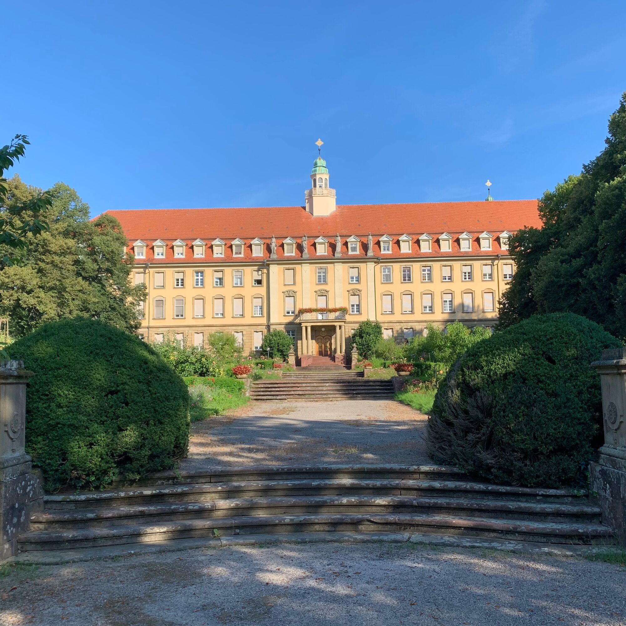
The experience circular route can be walked in three and a half hours and leads hikers to the most beautiful places and special sights that the holiday resort has to offer. At the ten stations, information boards are set up that describe the respective special features. The start and end point of the marked experience circular route is the church square Obersasbach. From there it goes to the 200-year-old lime tree, where you have the best view of the picturesque village of Obersasbach with the church "St. Konrad" in the middle. Then continuing towards Illenauer Cemetery, which is located in the Obersasbach district and was established in 1859 by the Illenau healing and care institution. Further along, the path leads to the Lender boarding school, the Turenne monument, the Erlenbad monastery, and Aubach castle, from where the hiker reaches the viewpoint above Obersasbach via the Metzenhalde, with a view over the entire district to Strasbourg and the Vosges. Then it goes to the "Alde Gott" wayside shrine and through the vineyards towards Vogelsberg and back to the church.


Tak
sturdy footwear
Coming from Sasbachwalden, follow the L86 to the district of Sandweg. There, turn right into Sasbachwaldener Straße. Follow this until after a small ascent you reach directly the shop "Blums". Before that, turn right and follow this street until you can discover the Obersasbach church on the right side.
roadside and church square Obersasbach
Uzyskaj wgląd Zawsze na żywo z ponad 9 500 kamer internetowych. bergfex Jako użytkownik Pro, możesz teraz zobaczyć odpowiednie kamery internetowe dla wielu wycieczek w aplikacji wycieczki od. Pozwala to na bezpośredni podgląd aktualnych warunków. Popularne wycieczki w okolicy
- 3,9
Schnapsbrunnenweg 2
średniWędrówka 12,8 km - 4,9
Ottenhöfen - Eichkopf - Karlsruher Grat
średniWędrówka 13,7 km - 4,7
Bannwald-Tour
Wędrówka 13,3 km - 4,5
Schnapsbrunnenweg 1
światłoWędrówka 7,45 km - 4,8
Ottenhöfen - Mühlenweg
średniWędrówka 13,4 km - 4,5
Lautenbacher Hexensteig
ciężkiWędrówka 15,3 km - 4,0
Gertelbacher Wasserfälle
ciężkiWędrówka 18 km Hundseck - Hochkopf - Hornisgrinde Bühlertal, Baden-Württemberg
światłoWędrówka 15,5 km- 4,6
Seibelseckle Tour
średniWędrówka 8,78 km - 4,4
Seebach - Genießerpfad Mummelsee-Hornisgrindepfad
średniTrasa tematyczna 6,70 km
Wędrówki i tropienie


Nie przegap ofert i inspiracji na następne wakacje
Twój adres e-mail została dodana do listy mailingowej.





