


Trail de la pierre aux lièvres


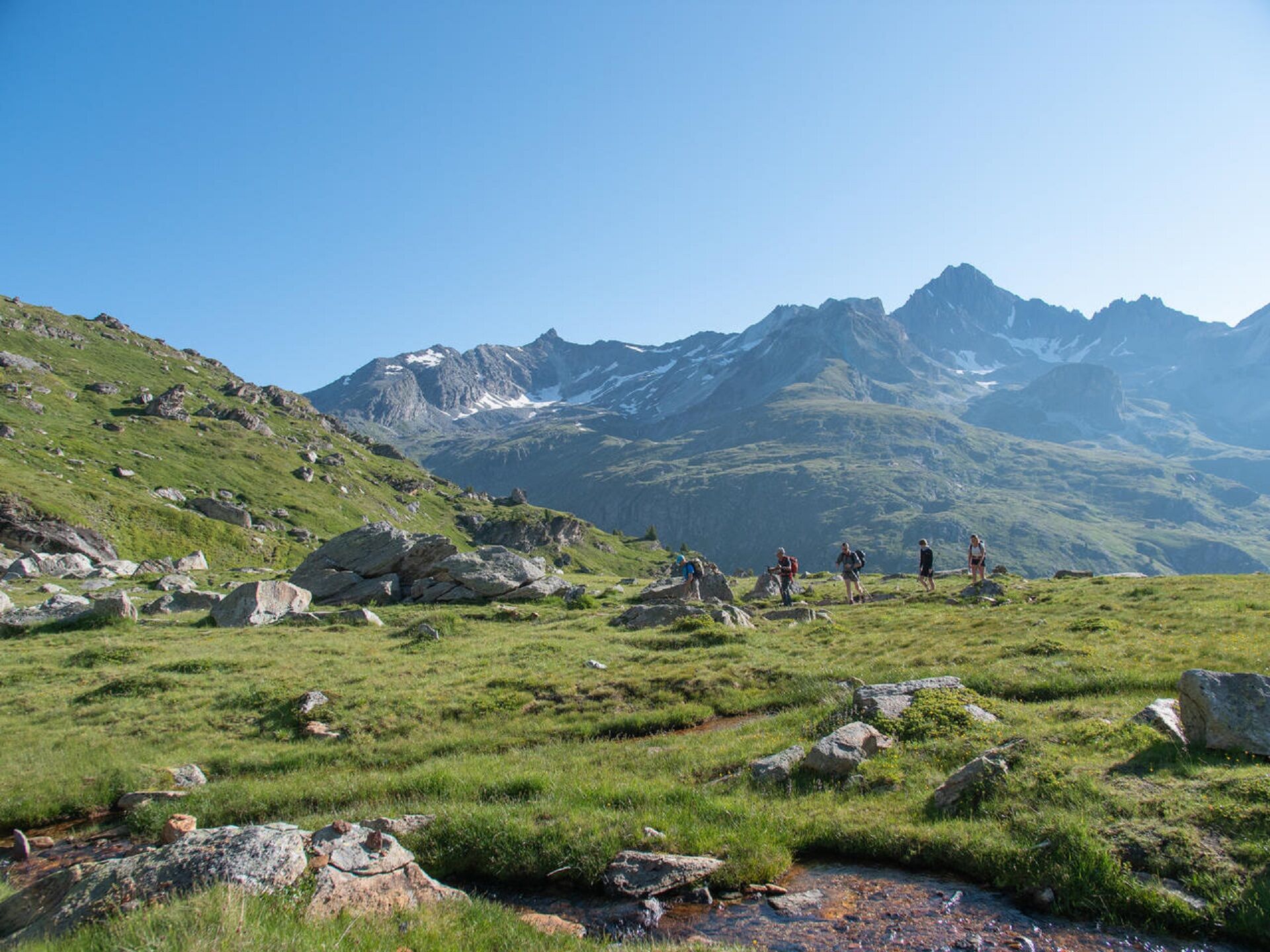
As wayward grasshoppers tickle your calves, you can already hear the distant
whistle of the marmots, keeping a watchful eye on you. The gentle breeze
sweeps through the soft grass, silky as an angel's...
As wayward grasshoppers tickle your calves, you can already hear the distant
whistle of the marmots, keeping a watchful eye on you. The gentle breeze
sweeps through the soft grass, silky as an angel's hair.
When spring breaks into summer, you look on delightedly as the bold young
lambs take their first tentative leaps. They seem to be showing you the way
to a rock that looks like it fell from the sky a long, long time ago!
You're off to meet four hares who took it upon themselves to carry a rock
on their backs and then throw it at the church bell tower! Frozen to the spot
and crushed by their enormous burden, what could have happened to them?
Can you find them by slipping under the rock?
Or, if you prefer to stay on the safe side, you can read a fascinating legend
that's stood the test of time. After satisying your curiosity, take a few deep
lungfuls of fresh air as you sit down to enjoy a delicious meal.

Pour vous guider sur le terrain, consultez le schéma directionnel « pas à pas » fourni en pdf.
1/ How is trail running time calculated? Trail times are calculated on the basis of reference paces for a regular runner who practices running on average 1 or 2 times a week. 600m/h ascent in altitude 900m/h ascent on descent 9km/h on the flat
2/ Using GPX tracks As hazards may occur at any time on the routes, the GPX tracks provided are not contractual. They are given for information only. Riders use them at their own risk, depending on their level of technological proficiency and their understanding of the terrain.
Kamery internetowe z trasy
Popularne wycieczki w okolicy
-
5,0
BARDONECCHIA Colle Sommeiller
średniMountainbike 25,4 km -
Refuge du Fond d'Aussois - a wild valley in the Vanoise - 2-day hike
światłoWędrówka 9,24 km -
The White Lake
światłoWędrówka 4,42 km -
Cycling ascent of the Mont-Cenis Pass from Lanslebourg
ciężkiDroga rowerowa 9,84 km -
Sentier pédestre des Sculptures - Land Art Montagne
światłoTrasa tematyczna 5,16 km -
Mont-Cenis Pass from Modane
ciężkiDroga rowerowa 34,8 km -
Little ascent of Plan d'Aval
ciężkiDroga rowerowa 6,37 km -
4. Day
światłoWędrówka 11,0 km -
2. Dag
światłoWędrówka 5,86 km -
Vanoise
średniWędrówka 20,2 km
Wędrówki i tropienie


Nie przegap ofert i inspiracji na następne wakacje
Twój adres e-mail została dodana do listy mailingowej.