


Hill of Loo
Trail 12 starts from Loomatto and arrives at Loo Pass (2415m).The first section of the trail enters a coniferous and deciduous forest and leads over the bridge of the Loo stream where a beautiful waterfall...
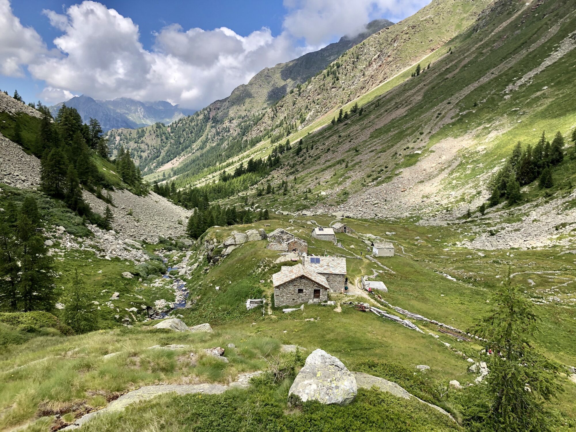
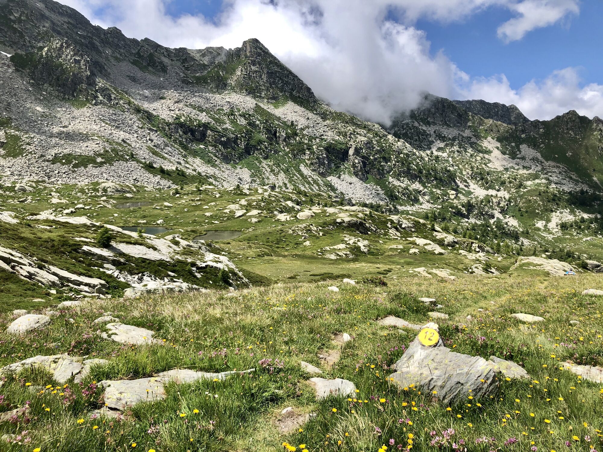
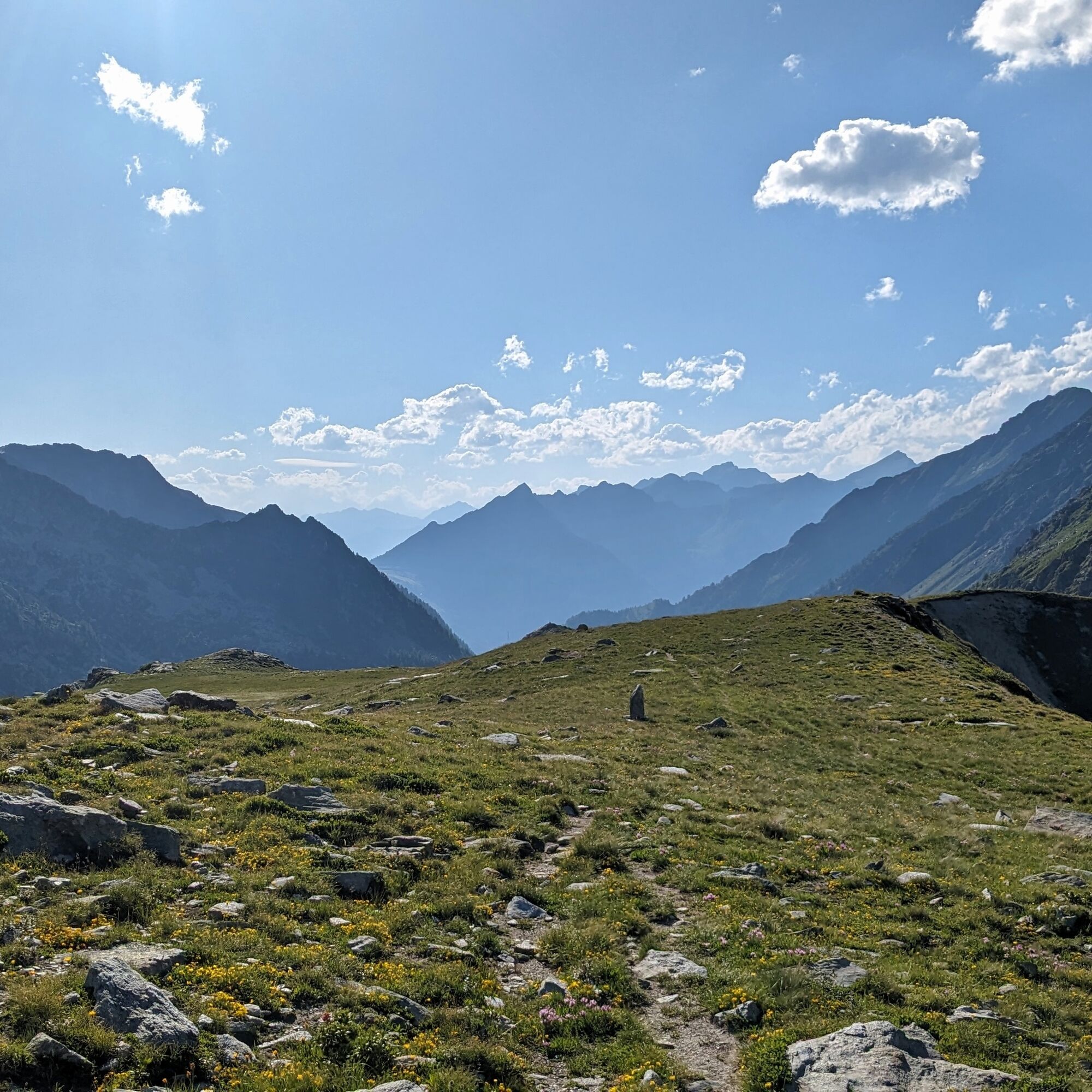
Trail 12 starts from Loomatto and arrives at Loo Pass (2415m).The first section of the trail enters a coniferous and deciduous forest and leads over the bridge of the Loo stream where a beautiful waterfall can be seen. The path becomes steeper making a series of switchbacks crossing a rocky area. You arrive at the Lower Loo pasture where the fairly flat valley begins, characterized by a few huts on the way. The most typical village is encountered by continuing to Upper Loo at 2076 meters above sea level where the Chapel of San Lorenzo from 1682 is located. In the village is the Bléckéné agritourism, which offers restaurant service, with a few tables and products from the farm, particularly noted are the fresh and aged cheeses produced in the alpine pasture.

Turin-Aosta highway exit Pont S. Martin, S.S. 505 direction Gressoney, a few km. before Gressoney S. Jean, you will find the junction to Loamatten, take it and in a short time you will arrive in the small village square, where you will park.
Tak
Tak
Boots, snowshoes, backpack, raincoat.
Turin-Aosta highway exit Pont S. Martin, S.S. 505 direction Gressoney, a few km. before Gressoney S. Jean, you will find the junction to Loamatten, take it and in a short time you will arrive in the small village square, where you will park.
Railway line connecting Milan and Turin to the Aosta Valley with a stop in Pont-Saint-Martin.
From Pont-Saint-Martin station, take the Vita line bus towards Gressoney and stop at "la Stella" bus stop.

Popularne wycieczki w okolicy
- 5,0
Ospizio Sottile
średniWędrówka 4,77 km Alpenzù Grande
średniWędrówka 1,06 kmMonterosa Walser Waeg - 15 Km route
średniTrailrunning 15,1 km- 5,0
Testa Grigia
ciężkiWędrówka 7,98 km Da Coumarial al rifugio Barma
średniWędrówka 7,31 kmHistorical Mountain Routes | The Via Regia along the Old Aosta Road
ciężkidługodystansowy szlak pieszy 8,41 km- 4,0
Bivacco Gastaldi
średniWędrówka 3,71 km Queen's Walk
światłoWędrówka 2,96 km- 5,0
Corno Bussola
ciężkiWycieczki górskie 17,7 km - 4,0
Monte Bieteron da Estoul
średniWycieczki górskie 8,57 km
Wędrówki i tropienie


Nie przegap ofert i inspiracji na następne wakacje
Twój adres e-mail została dodana do listy mailingowej.