






Felix Hoffmann Trail

Felix Hoffmann, the painter born in Aarau (1911-1975), studied art in Basel, Karlsruhe, and Berlin. In 1935, he returned to Aarau with his wife, opened his own studio, and worked as a drawing teacher at...
Felix Hoffmann, the painter born in Aarau (1911-1975), studied art in Basel, Karlsruhe, and Berlin. In 1935, he returned to Aarau with his wife, opened his own studio, and worked as a drawing teacher at the district school. Follow the Felix Hoffmann Trail to see his works in the Reformed churches of Aargau.
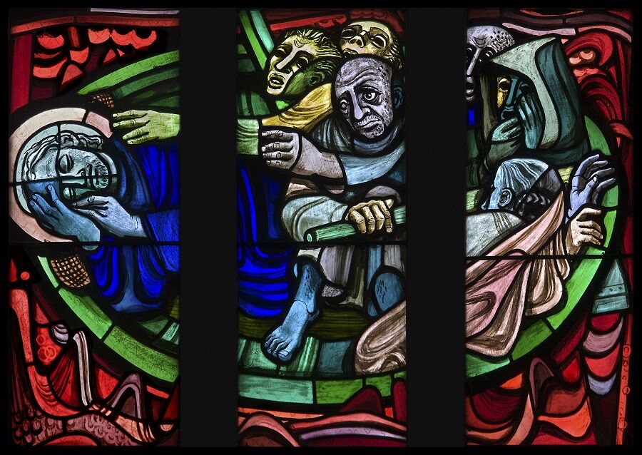
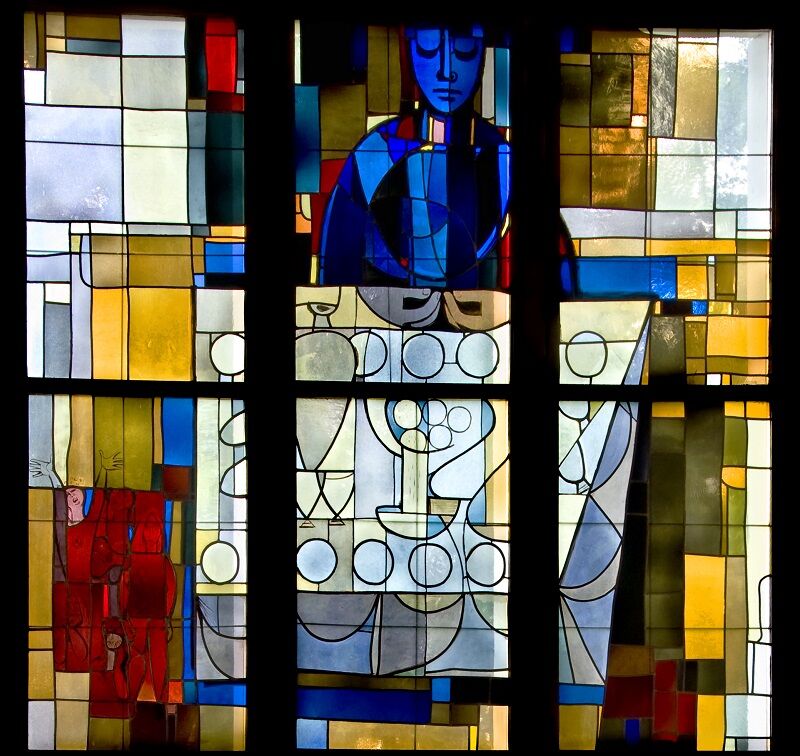
Felix Hoffmann was a nationally and internationally sought-after illustrator and created lasting works in public spaces as a glass and mural painter. His stained glass windows in the Bern Minster and in eleven Reformed churches in Aargau are well-known.
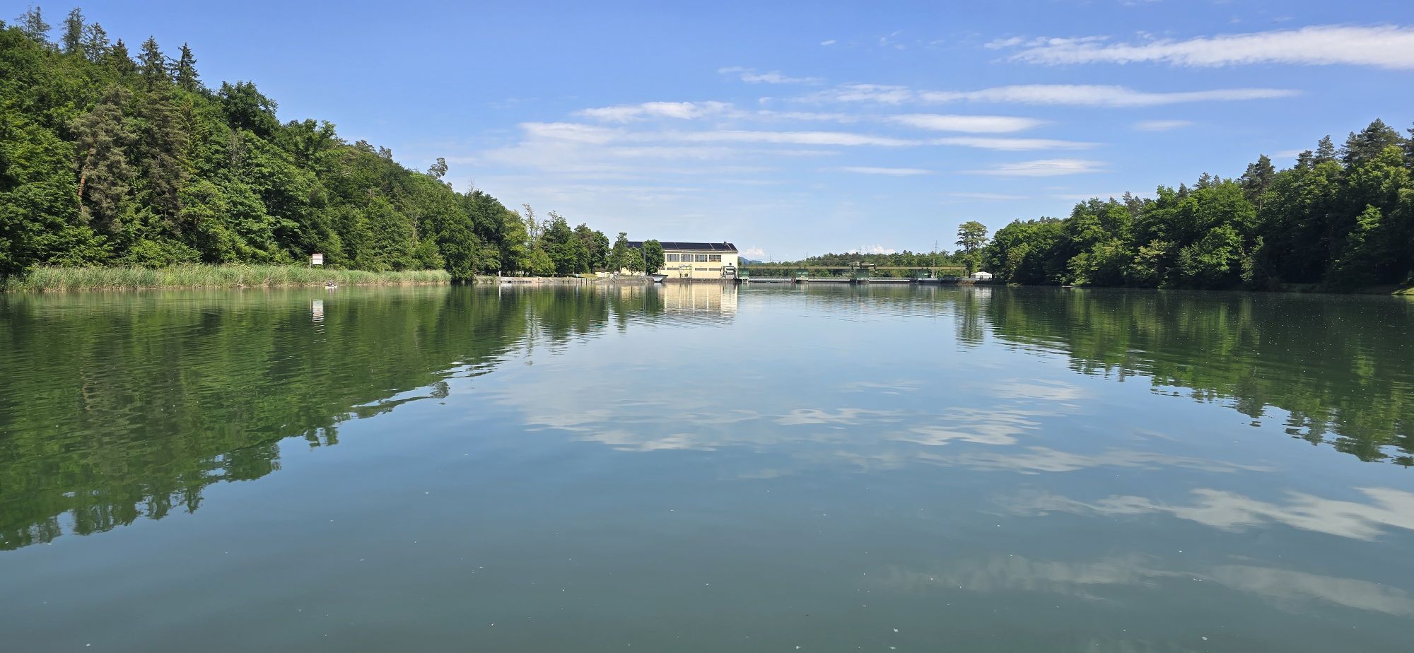
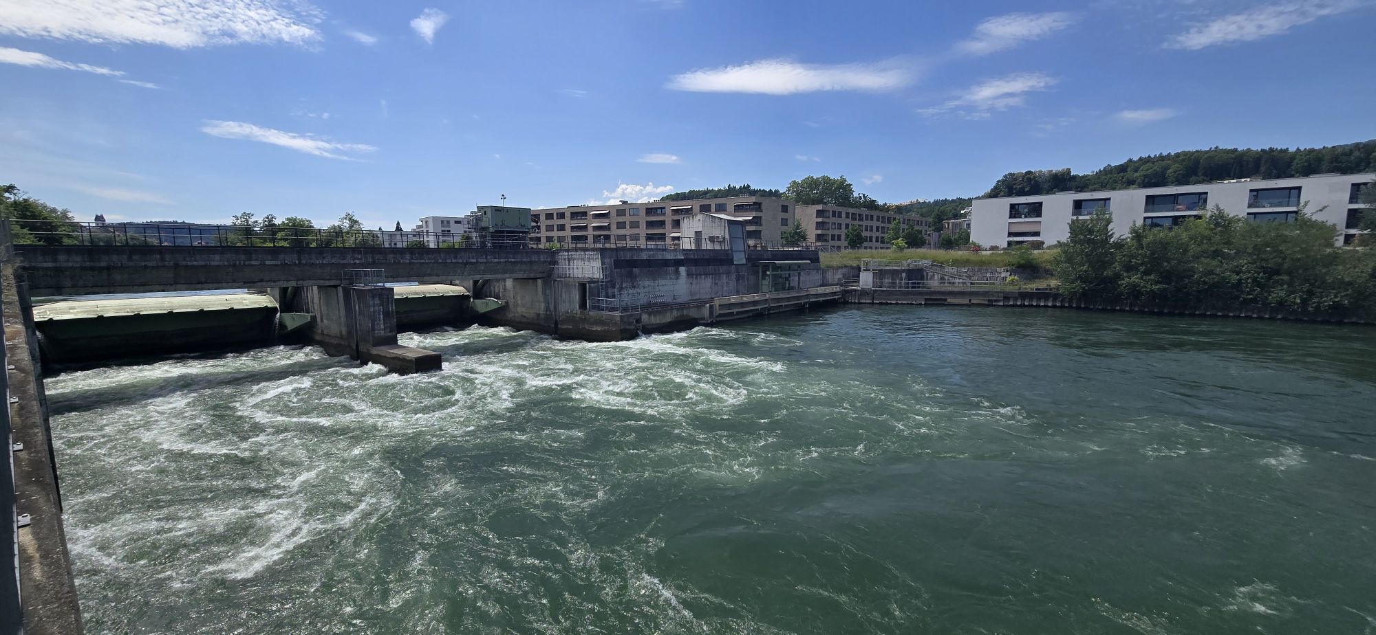
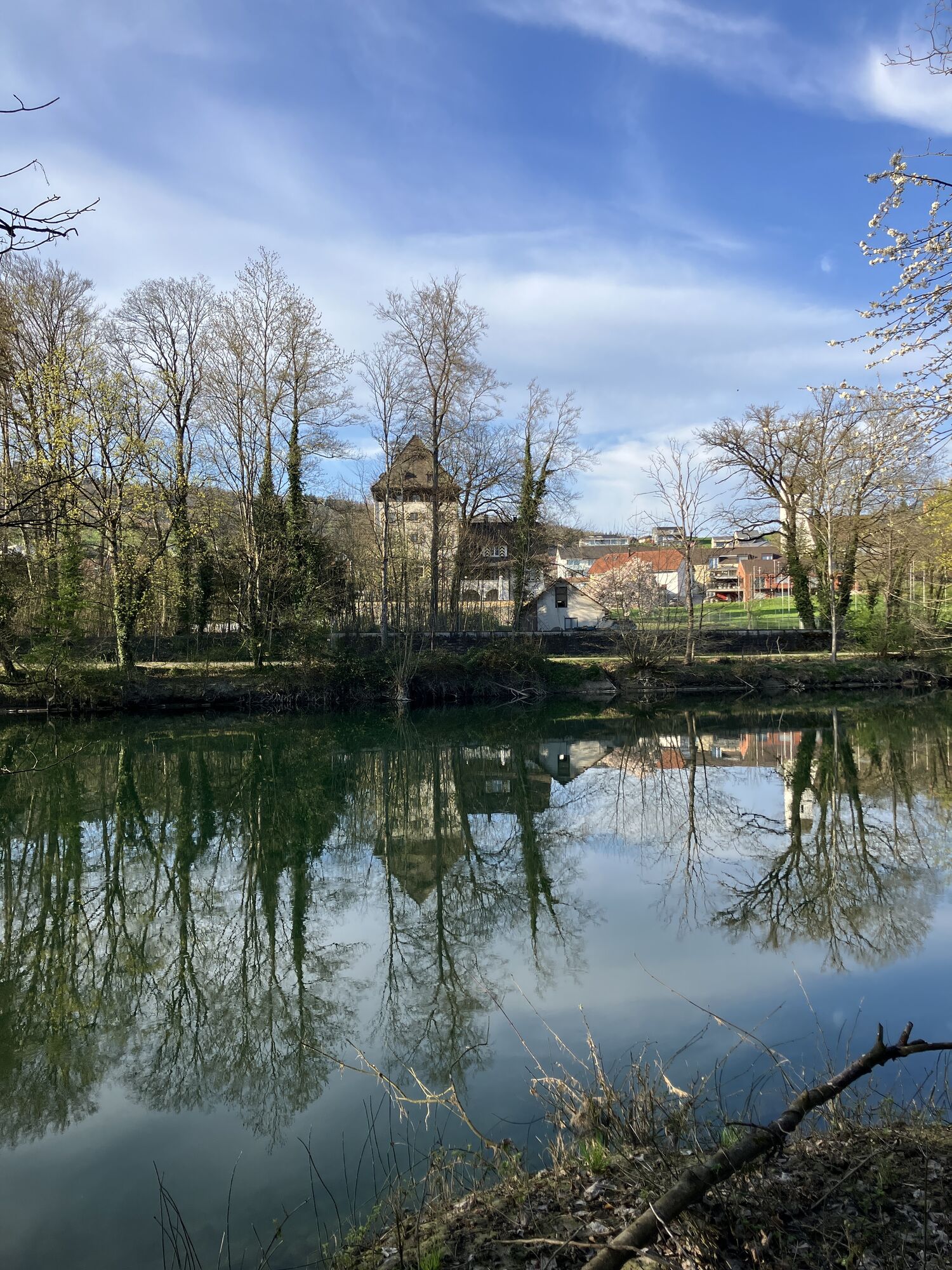
In the churches of Aarau, Auenstein, Bözen, Buchs, Kirchberg (Küttigen), Rheinfelden, Rupperswil, Schöftland, Suhr, Umiken, and Windisch, stained glass paintings designed by Felix Hoffmann between 1938 and 1973/74 shine brightly. The "Felix Hoffmann Trail" connects 6 churches and 23 of his works within walking distance of each other. It invites you to hikes through forests and along the Aare River, to discover the fascinating stained glass art of the artist, and to linger in the expressive churches.
In all churches, you will find information boards and leaflets about Felix Hoffmann and his works.
Note(s)
The circular route can easily be divided into separate stages of 3 to 7 kilometers:
- Aarau - Suhr, 4.5 km
- Suhr - Buchs, 3.5 km
- Buchs - Rupperswil, 6 km
- Rupperswil - Auenstein, 3.5 km
- Auenstein - Kirchberg, 7 km
- Kirchberg - Aarau, 4 km
Reformed State Church Aargau
Stritengässli 10
CH-5001 Aarau
Tel.: +41 (0)62 838 00 10
E-mail: ag@ref.ch
Internet: www.ref-kirchen-ag.ch/


Aarau - Suhr - Buchs - Rupperswil - Auenstein - Kirchberg - Aarau

Popularne wycieczki w okolicy
- 4,7
Gisliflue & Gratwanderung, Schweiz
średniWędrówka 8,59 km - 4,8
Hüslischnegg am Asperstrihen
średniWędrówka 5,05 km - 4,1
Linn - Effingen - Bruderhöhle - Gallenkirch
średniWędrówka 7,88 km Linner Wasserfall
światłoWędrówka 4,67 km- 5,0
Lakeside path Seerose - Seengen
Wędrówka 5,79 km Nord-Süd-Route im Suhrental
średniJazda na rowerze 30,7 kmHabsburg Route 5th stage: Mellingen - Bremgarten
średniWędrówka 14,2 km- 4,7
Cheisacherturm
światłoWędrówka 3,64 km - 5,0
Schinznach Bad - Brugg, Schweiz
światłoWędrówka 10,5 km - 2,0
Staffelegg - Ruine Schenkenberg - Thalheim
światłoWędrówka 6,96 km
Wędrówki i tropienie


Nie przegap ofert i inspiracji na następne wakacje
Twój adres e-mail została dodana do listy mailingowej.





