
- Krótki opis
-
Ein etwas anspruchsvollerer, aber umso lohnenswerter Ausflug, der Wanderer weit weg von Verkehrslärm und Alltagsstress durch stille Wälder führt.
- Stopień trudności
-
średni
- Ocena
-
- Trasa
-
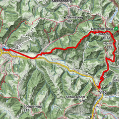
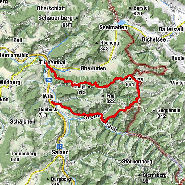
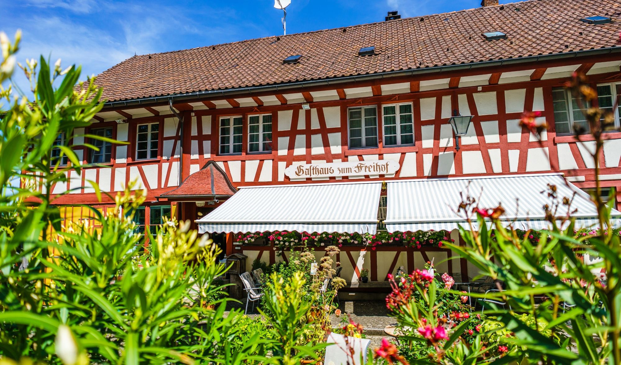
Turbenthal (550 m)0,0 kmReformierte Kirche Turbenthal0,2 kmTurbenthal (554 m)0,3 kmBühl4,7 kmEnsberg (861 m)6,3 kmSitzberg7,8 kmKirche Sitzberg7,8 kmSternen Sitzberg (870 m)7,9 kmOber-Hamberg8,0 kmSkilift Sitzberg8,0 kmHinterschmidrüti9,1 kmGasthaus zum Freihof9,5 kmSchmidrüti9,5 kmTraube11,1 kmKellersacker11,8 kmGosswil12,3 kmJakobsbrunnen14,5 kmStrick14,6 kmWila (566 m)15,0 km
- Najlepszy sezon
-
stylutmarkwimajczelipsiewrzpaźlisgru
- Najwyższy punkt
- 841 m
- Miejsce docelowe
-
Wila, Bahnhof
- Profil wysokości
-
 © outdooractive.com


-

-
AutorWycieczka Turbenthal – Sitzberg – Wila: «Auf stillen Pfaden» jest używany przez outdooractive.com pod warunkiem.
GPS Downloads


Informacje ogólne
Kulturalny/Historyczny
Obiecujący
Więcej wycieczek w regionach
-
Toggenburg
1770
-
Zürcher Oberland
596
-
Turbenthal
159