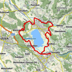
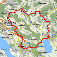
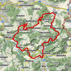
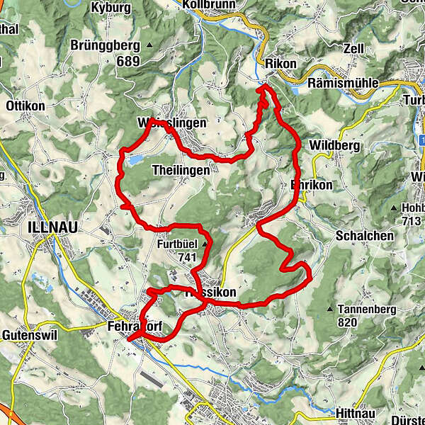
Fehraltorf – Furtbüel – Fehraltorf: «Feierabendtour»

Mountainbike


- Krótki opis
-
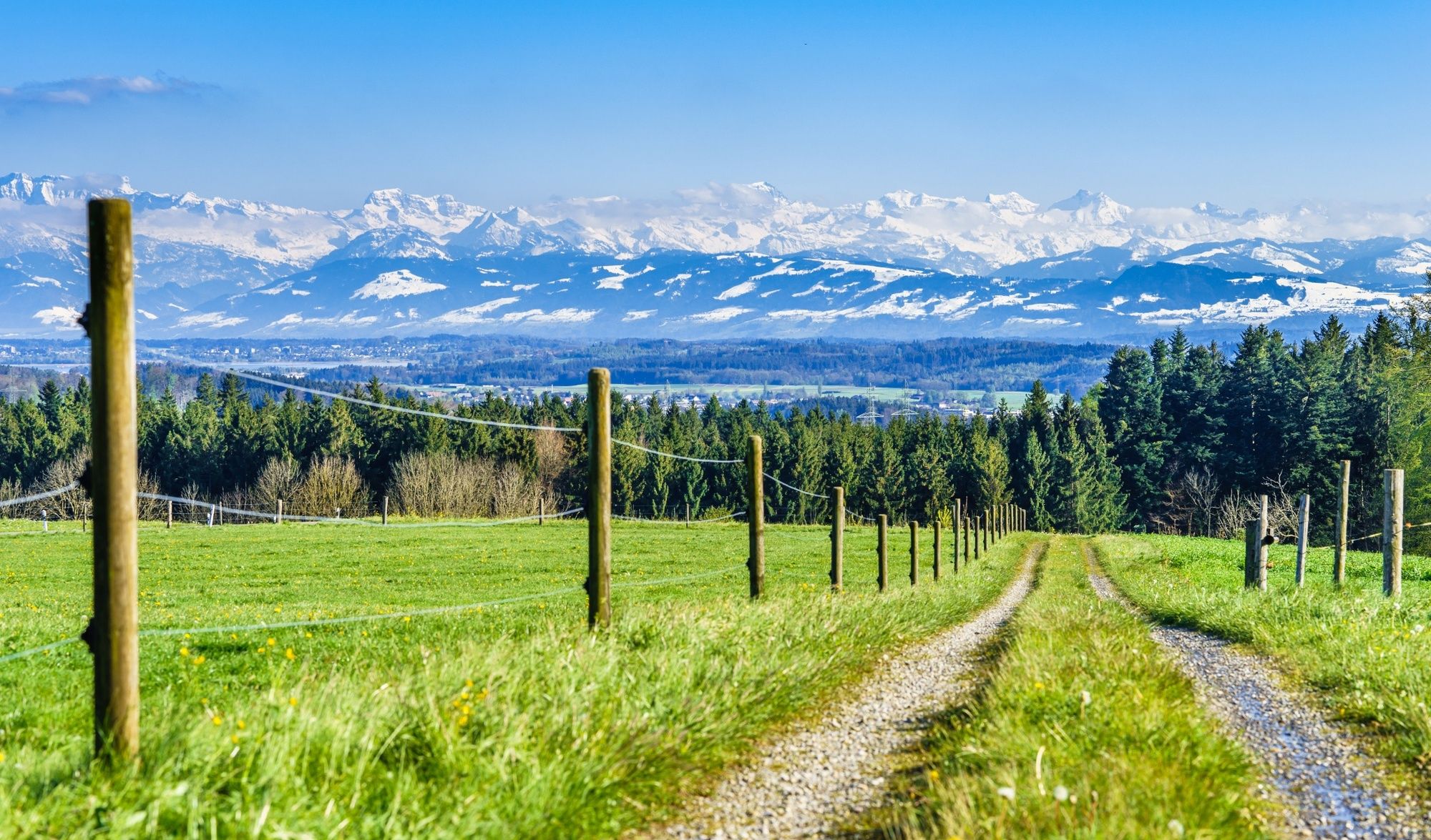
Dies ist eine interessante Trainingstour ohne grössere Schwierigkeiten im hügeligen Gelände des Zürcher Oberlands.
- Stopień trudności
-
średni
- Ocena
-
- Trasa
-
Fehraltorf (531 m)Fehraltorf0,2 kmSchulhaus Heiget0,8 kmRussikon3,6 kmLa Riva3,6 kmGündisau6,2 kmMadetswil9,2 kmSchlossberg9,3 kmBläsimühle10,0 kmEhrikon10,7 kmOberer Giessen10,9 kmUnterer Giessen11,1 kmHinterrikon13,6 kmNeschwil15,6 kmLendikon16,9 kmWeisslingen (576 m)18,8 kmIllnau (516 m)22,4 kmRumlikon23,7 kmFurtbüel (741 m)25,3 kmReformierte Kirche Russikon26,4 kmKrone26,6 kmRussikon26,9 kmFehraltorf29,1 kmFehraltorf (531 m)29,4 km
- Najlepszy sezon
-
stylutmarkwimajczelipsiewrzpaźlisgru
- Najwyższy punkt
- 743 m
- Miejsce docelowe
-
Fehraltorf, Bahnhof
- Profil wysokości
-
 © outdooractive.com
-

-
AutorWycieczka Fehraltorf – Furtbüel – Fehraltorf: «Feierabendtour» jest używany przez outdooractive.com pod warunkiem.
GPS Downloads


Więcej wycieczek w regionach
-
SchaffhauserLand
50
-
Zürcher Oberland
53
-
Russikon
23