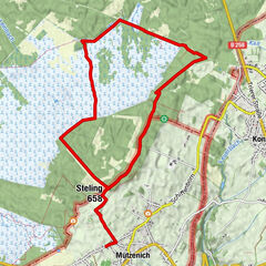
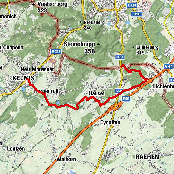
Göhl valley route Via Gulia - source of the Göhl - Kelmis

Wędrówka

© Tourismusagentur Ostbelgien - Via Gulia

© Tourismusagentur Ostbelgien - Willi Filz

© Tourismusagentur Ostbelgien - Martin Roehn

© Tourismusagentur Ostbelgien - Hahnbueck

© Tourismusagentur Ostbelgien - Grenzrouten

- Krótki opis
-
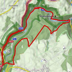
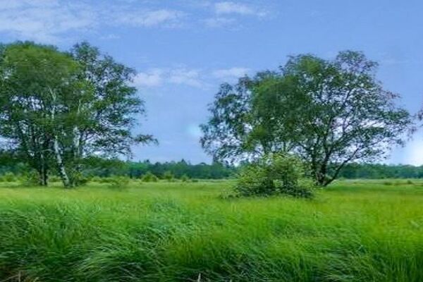
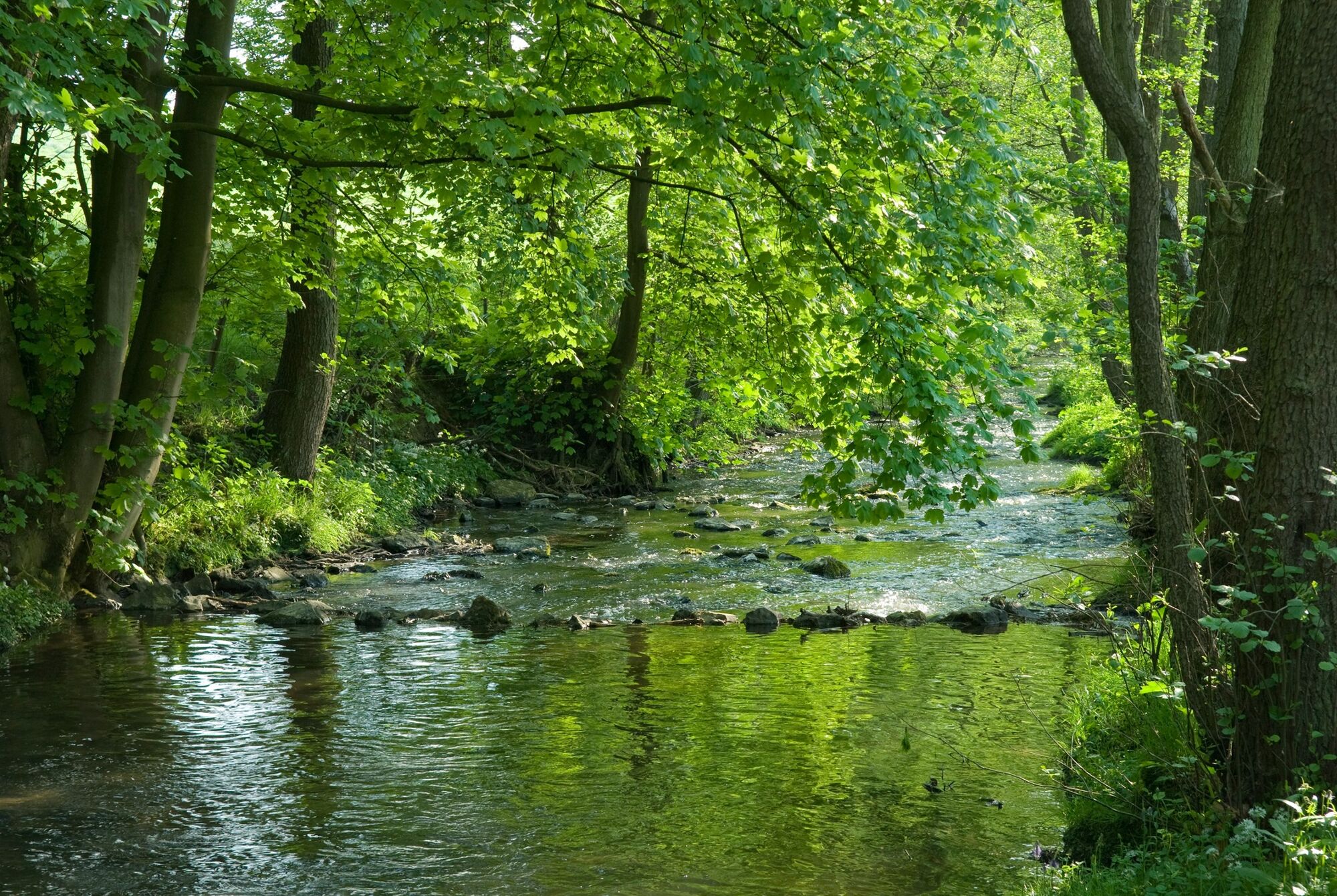
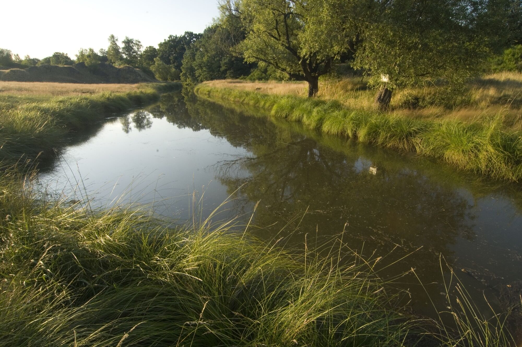
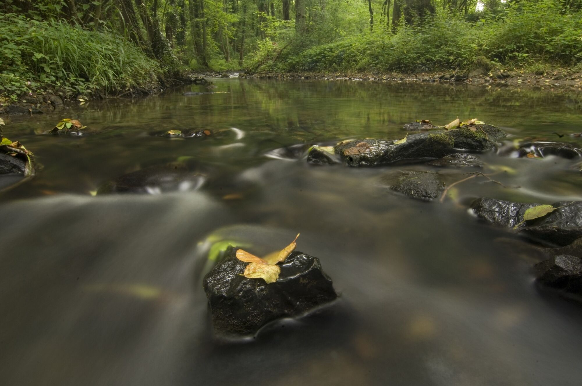
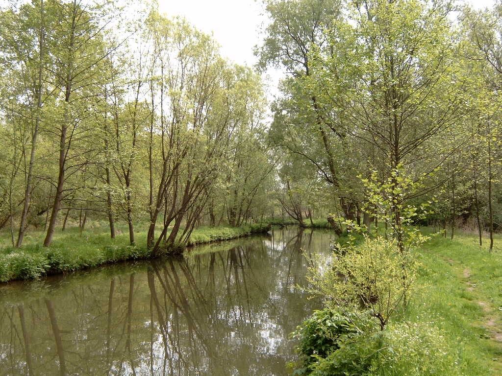
On the edge of Aachen Forest, between Köpfchen and Lichtenbusch, on the border between Germany and Belgium, lies the source of the Göhl.
- Stopień trudności
-
średni
- Ocena
-
- Trasa
-
Foodyard5,9 kmHauset6,0 kmBeschissenberg7,1 kmBeschissenberg7,3 kmSaveurs de Tilleul9,8 kmHergenrath10,2 kmKelmis11,7 km
- Najlepszy sezon
-
stylutmarkwimajczelipsiewrzpaźlisgru
- Najwyższy punkt
- 286 m
- Miejsce docelowe
-
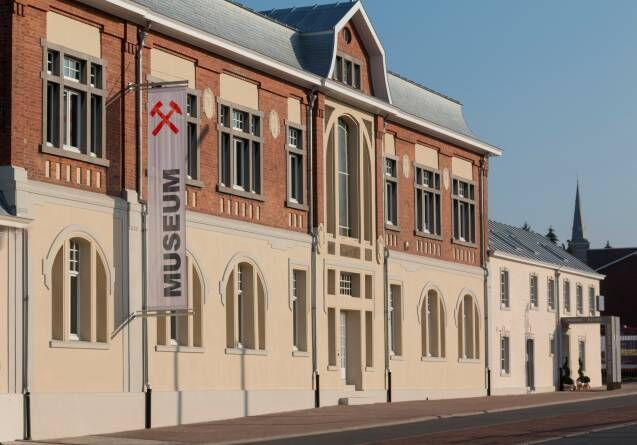
Kelmis. GPS- Koordinaten 50.715836,6.016431
- Profil wysokości
-
 © outdooractive.com
- Autor
-
Wycieczka Göhl valley route Via Gulia - source of the Göhl - Kelmis jest używany przez outdooractive.com pod warunkiem.
GPS Downloads


Więcej wycieczek w regionach
-
Weserland / Belgisch - Limburg
376
-
Aachen
110