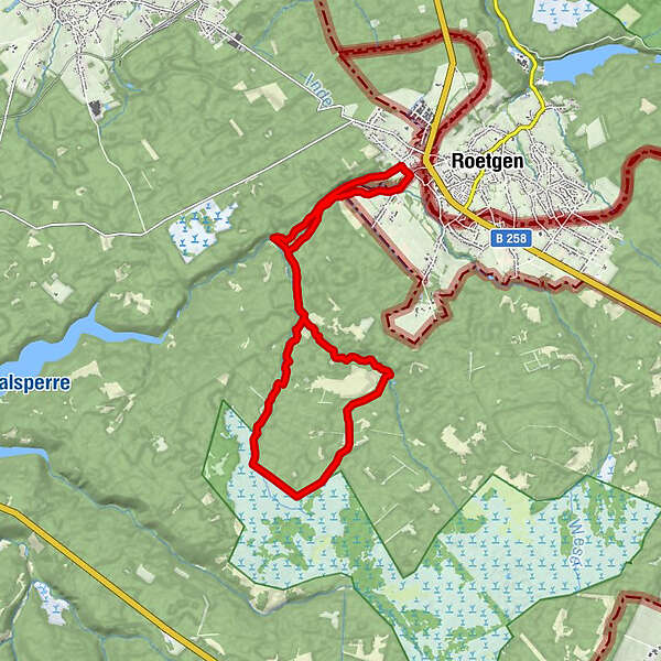
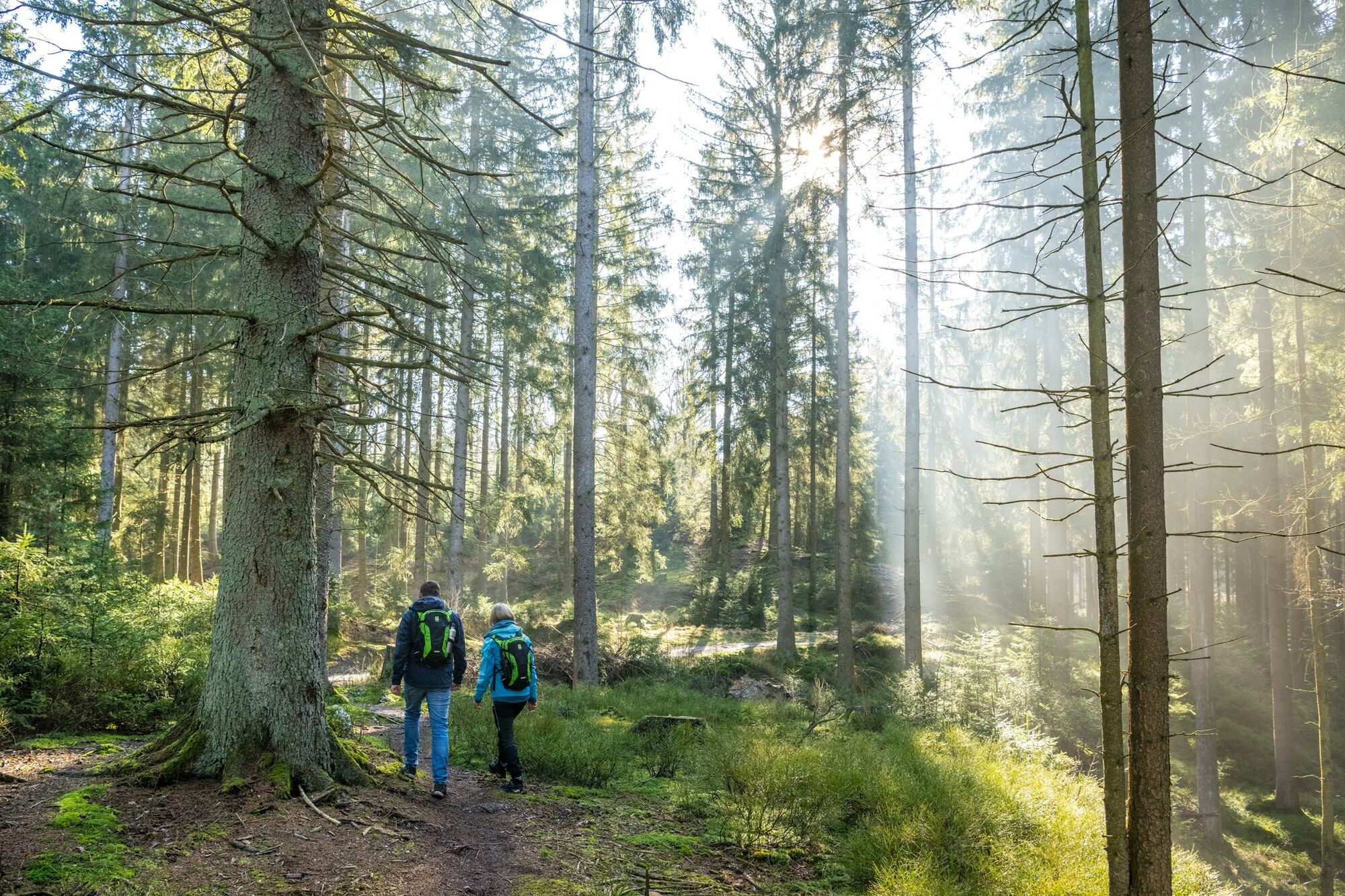
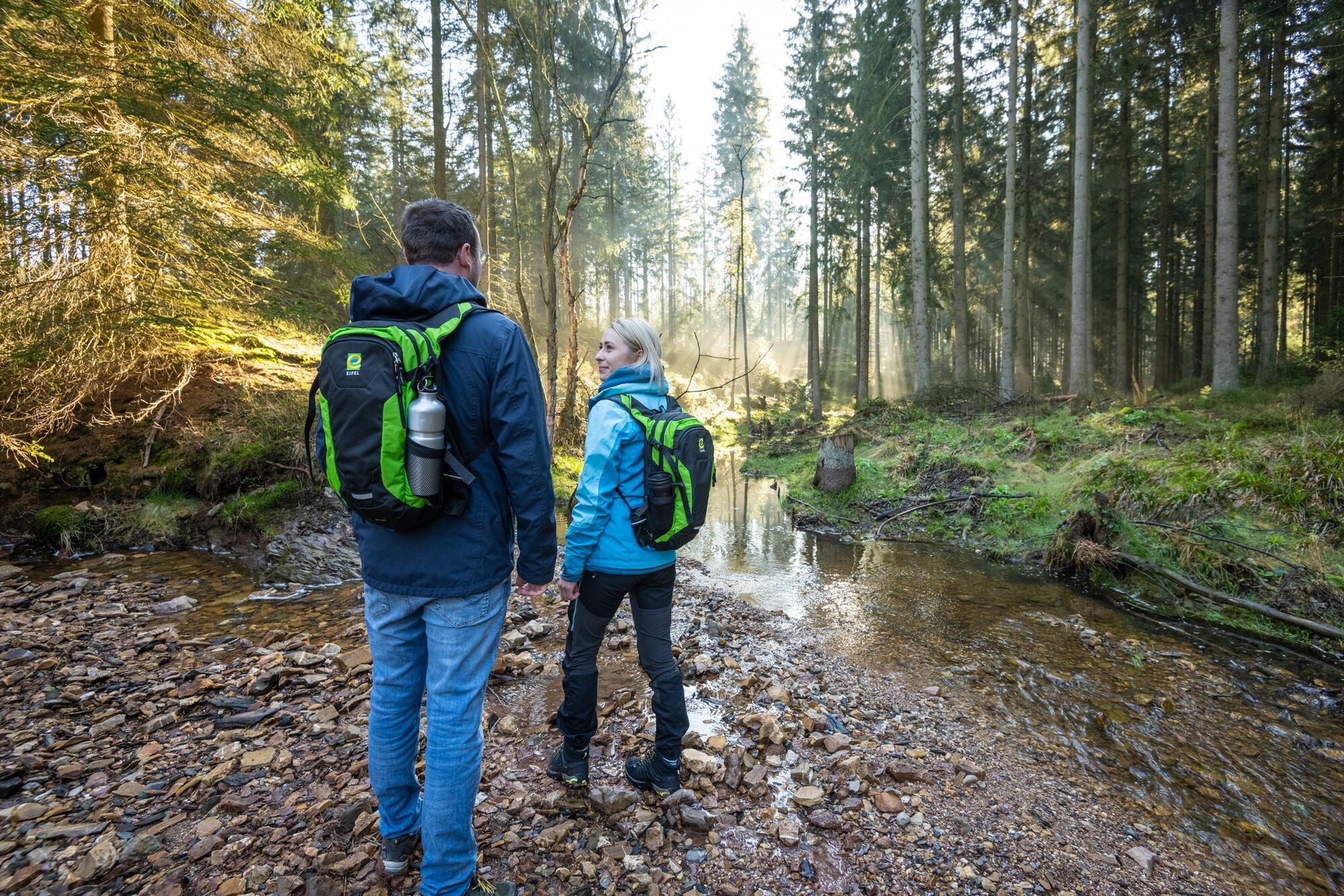
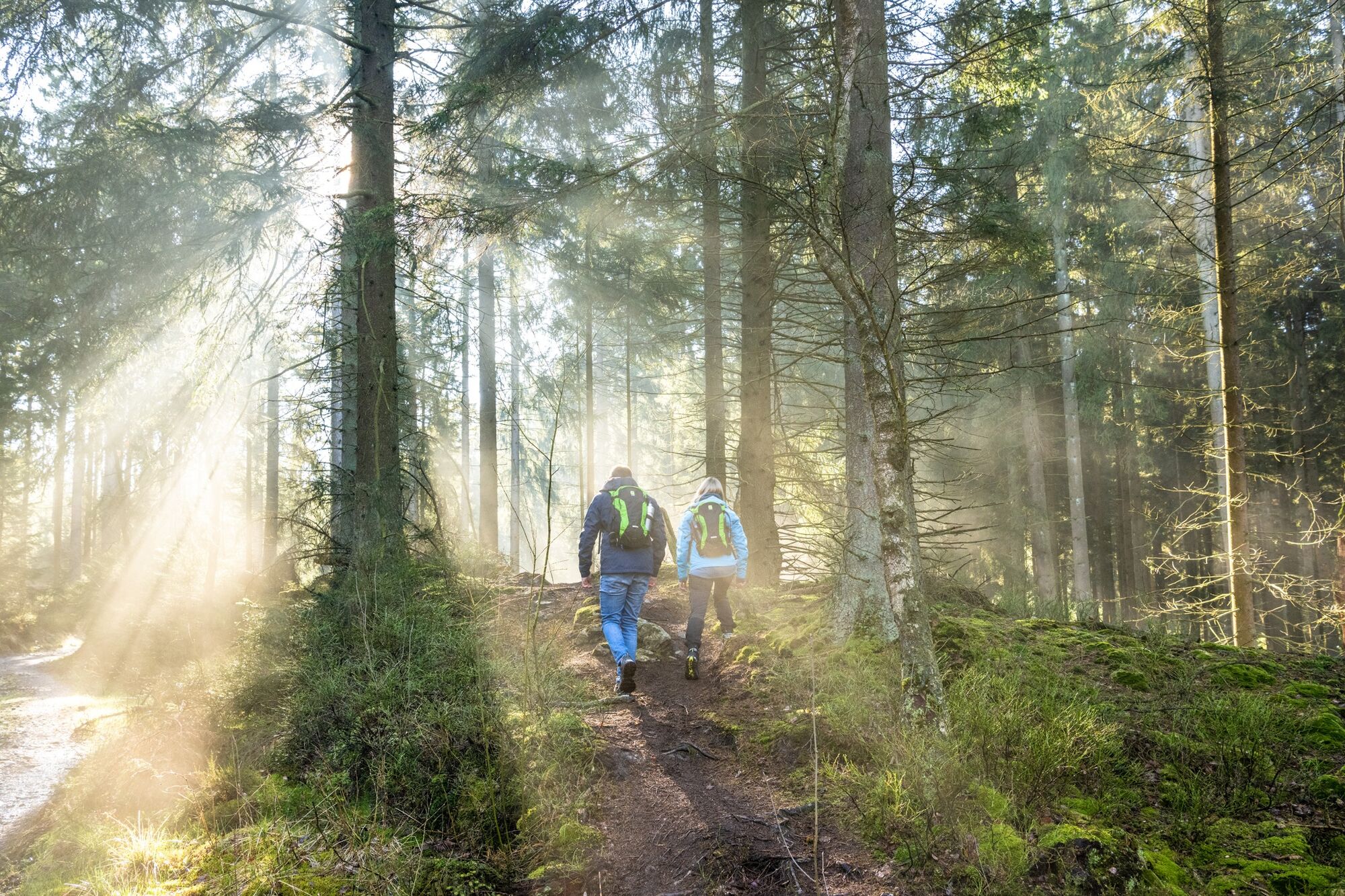
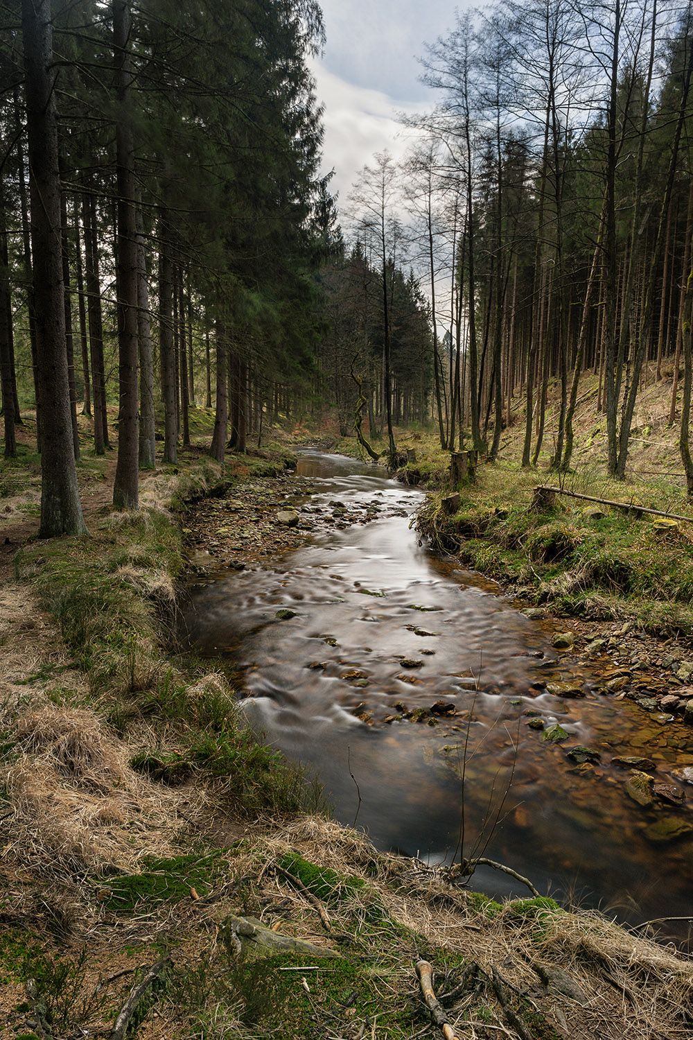
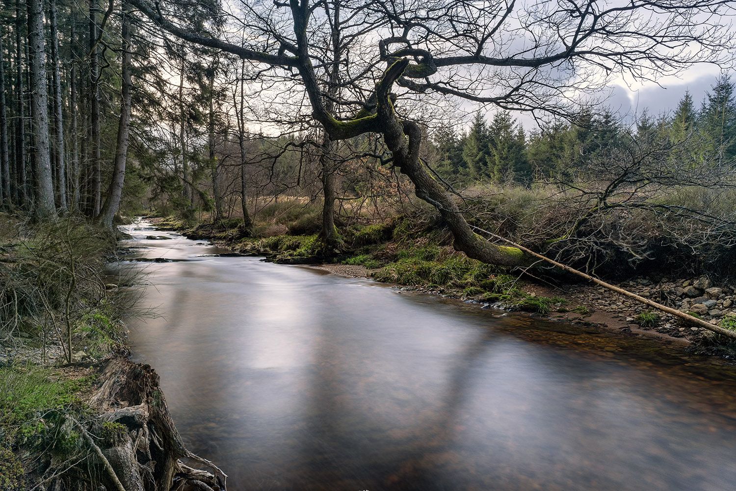
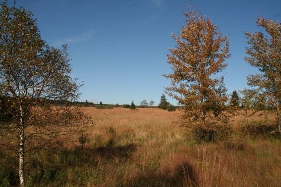
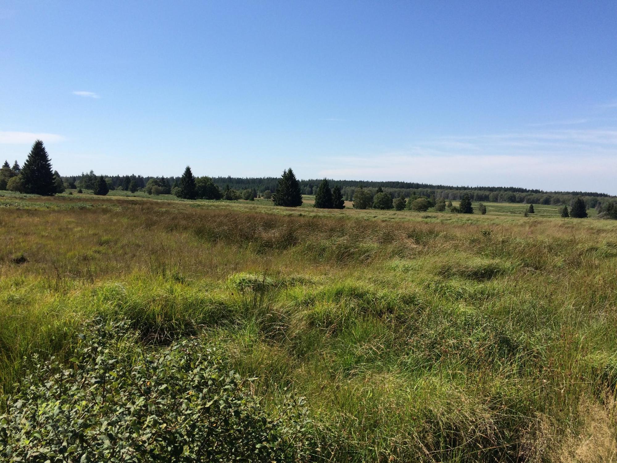
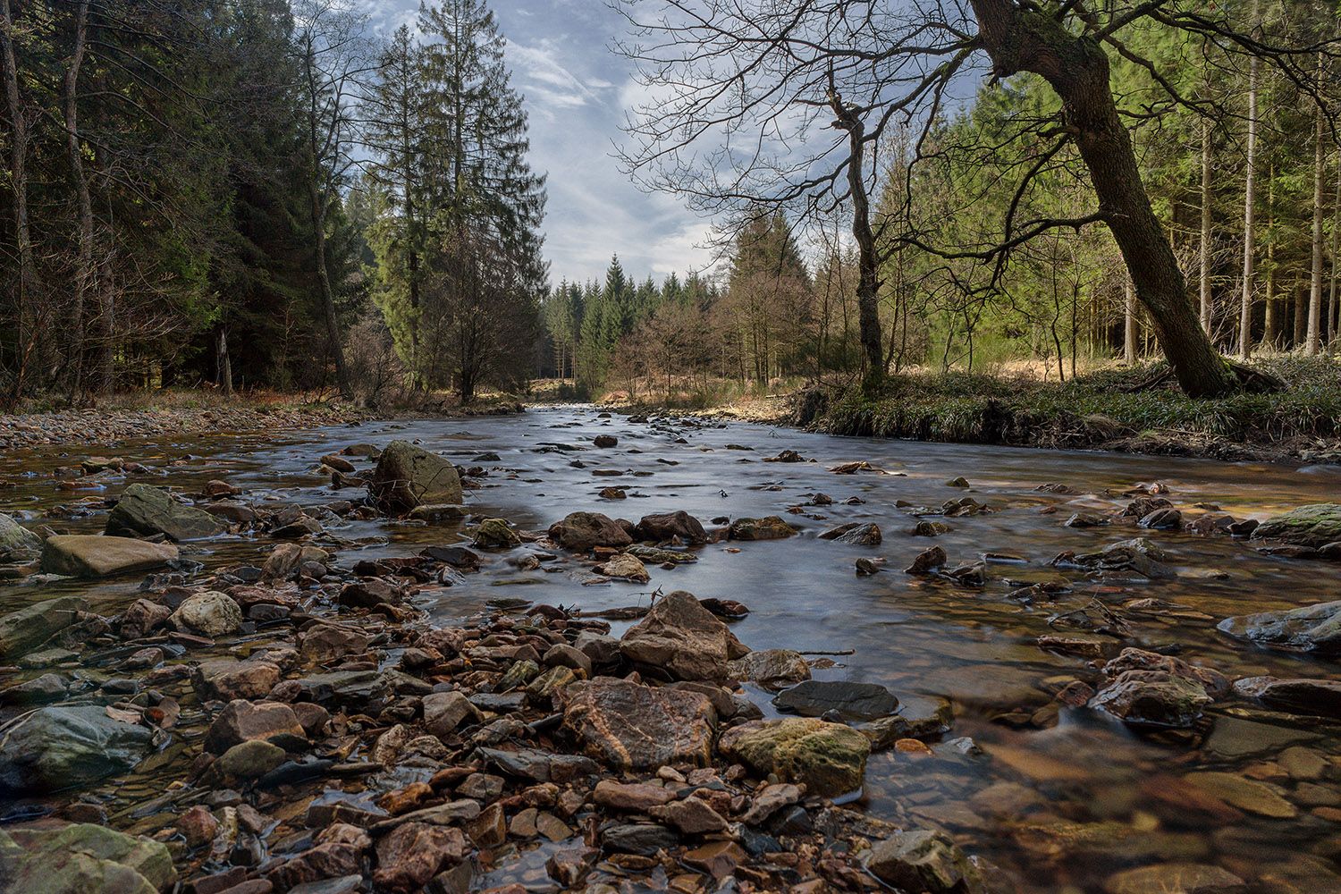
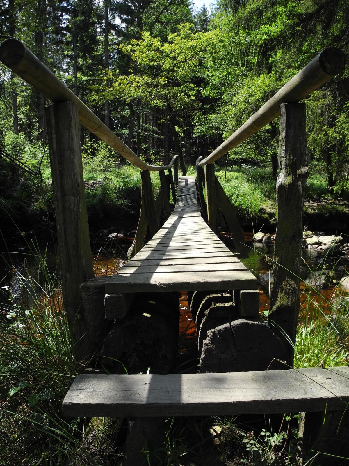
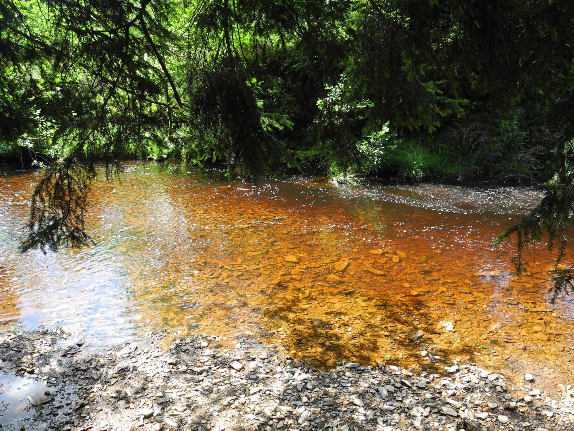
The untouched countryside along the Weserbach to the Hohes Venn

Wędrówka

© Tourismusagentur Ostbelgien

© StädteRegion Aachen - Dominik Ketz

© StädteRegion Aachen - Dominik Ketz

© StädteRegion Aachen - Dominik Ketz

© StädteRegion Aachen - Dominik Ketz

© StädteRegion Aachen - Dominik Ketz

© StädteRegion Aachen - Dominik Ketz

© Community - Johannes Tönne

© Community - Johannes Tönne

© Tourismusagentur Ostbelgien

- Krótki opis
-
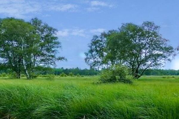
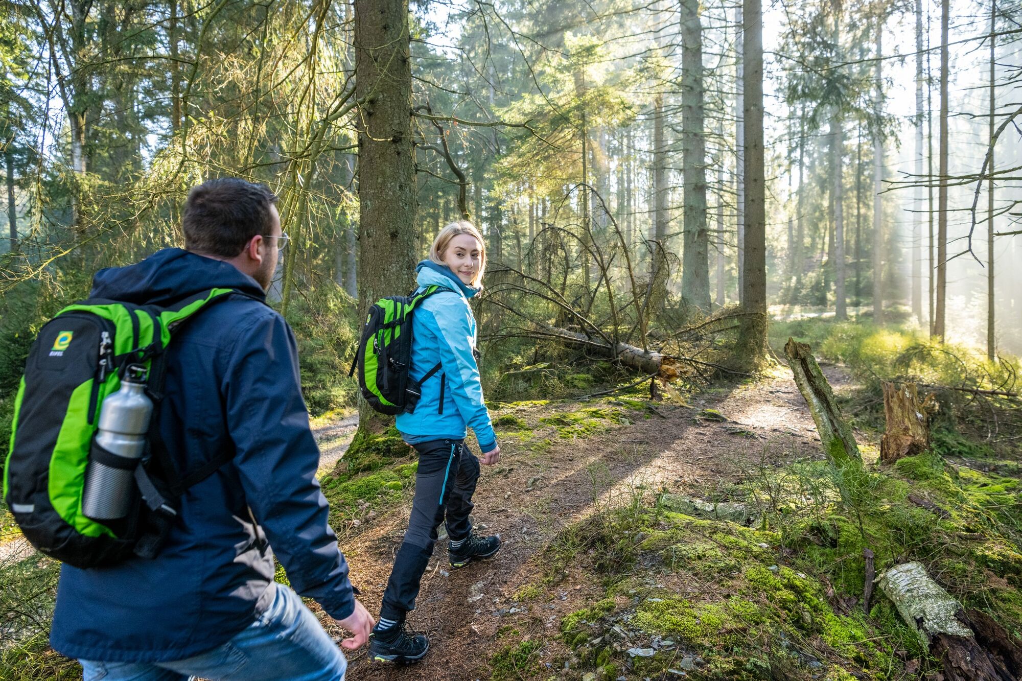
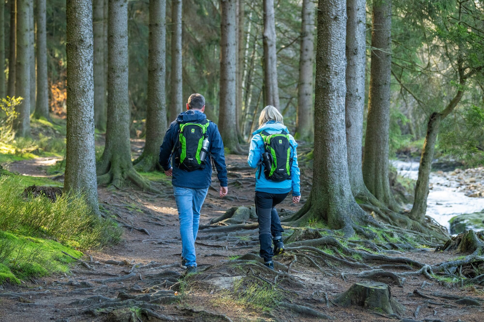
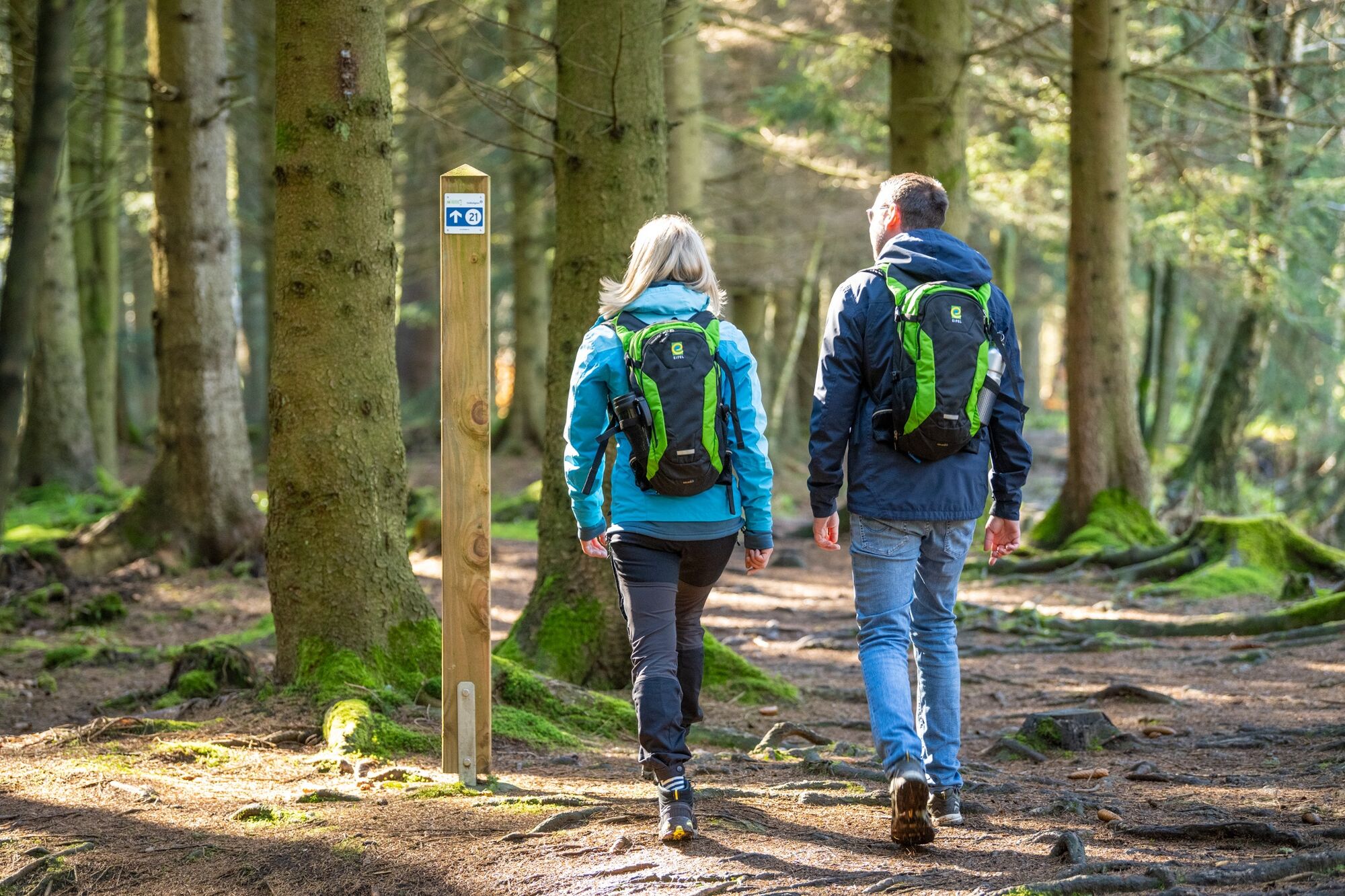
A hike to fall in love with! This idyllic tour leads through dense woodland along wild streams and rivers that originate in the plateau of the Hohes Venn.
- Stopień trudności
-
średni
- Ocena
-
- Trasa
-
PetergensfeldKapelle Reinartzhof8,1 kmPetergensfeld14,7 km
- Najlepszy sezon
-
stylutmarkwimajczelipsiewrzpaźlisgru
- Najwyższy punkt
- 516 m
- Miejsce docelowe
-
Roetgen-Petergensfeld
- Profil wysokości
-
 © outdooractive.com


- Autor
-
Wycieczka The untouched countryside along the Weserbach to the Hohes Venn jest używany przez outdooractive.com pod warunkiem.
GPS Downloads


Informacje ogólne
Wskazówka dla osób mających dostęp do poufnych informacji
Flora
Więcej wycieczek w regionach
-
Eifel & Aachen
1426
-
Hohes Venn
602
-
Roetgen
258