

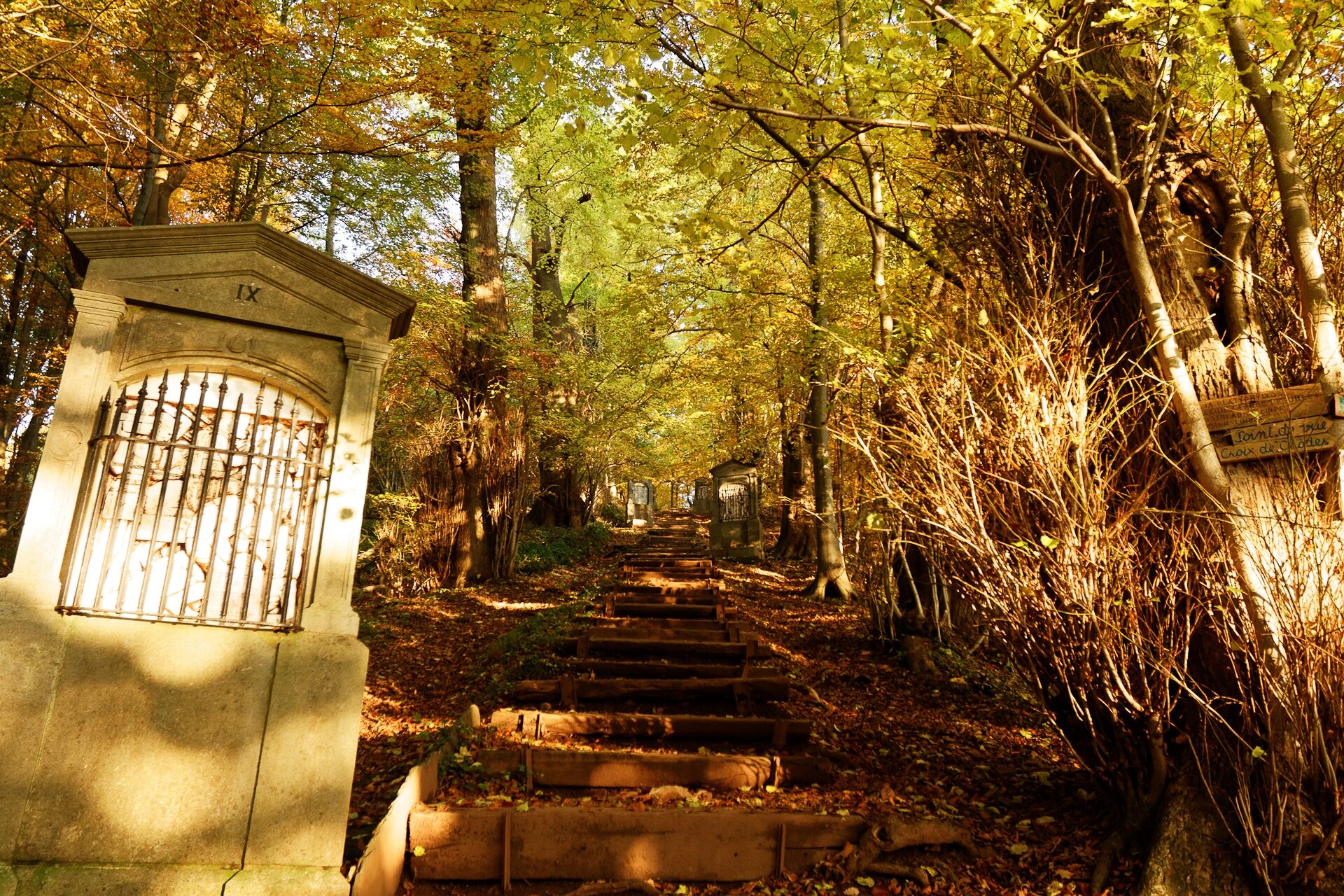
© Tourismusagentur Ostbelgien - Dominik Ketz

© Tourismusagentur Ostbelgien - Dominik Ketz

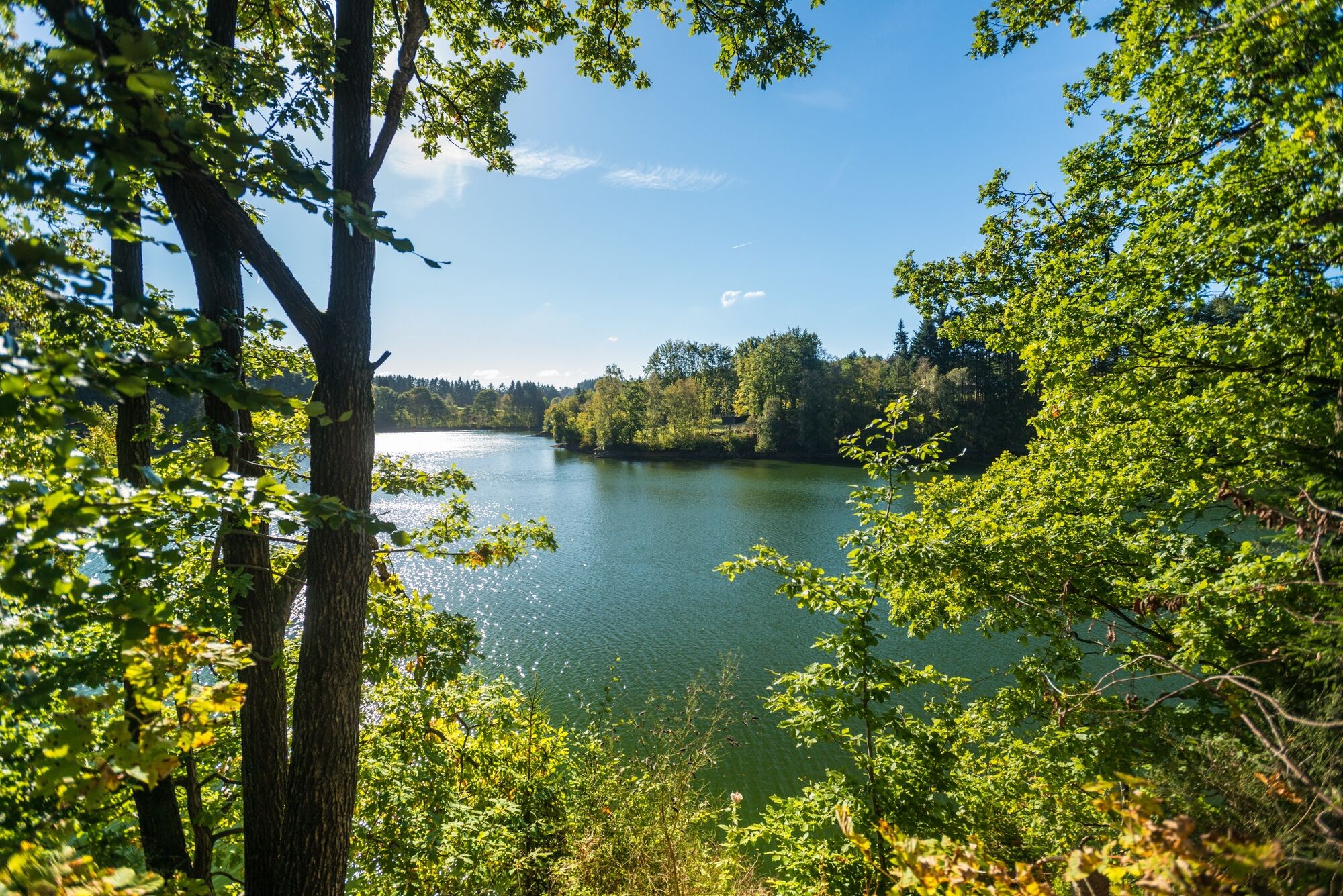
© Tourismusagentur Ostbelgien - Denis Dosquet

© Tourismusagentur Ostbelgien - Dominik Ketz

© Tourismusagentur Ostbelgien - Dominik Ketz

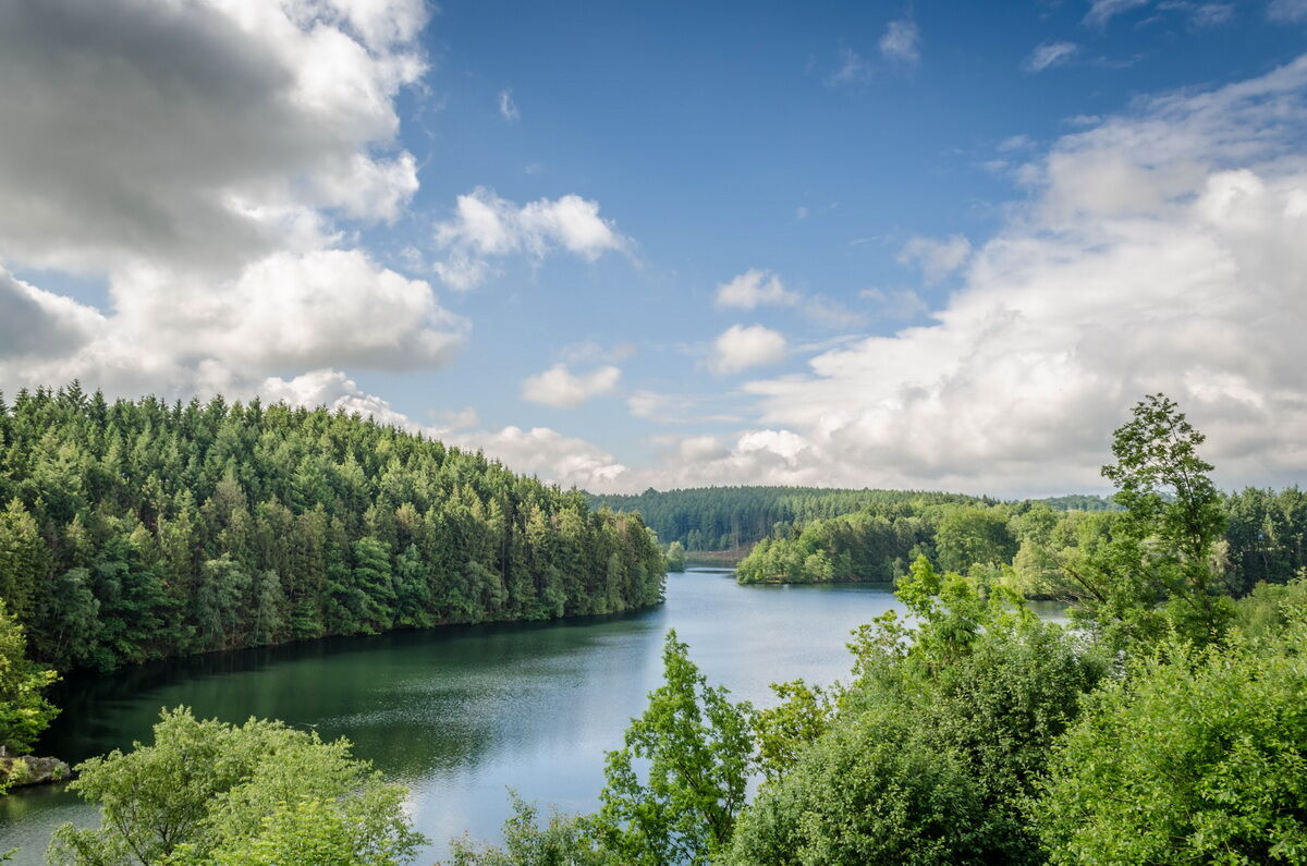
© Tourismusagentur Ostbelgien - RSI Robertville

- Krótki opis
-
It may be true that many things are in the eye of the beholder, but it is hardly an exaggeration to say that this is the most exciting stage on GR56.
- Stopień trudności
-
ciężkie
- Ocena
-
- Trasa
-
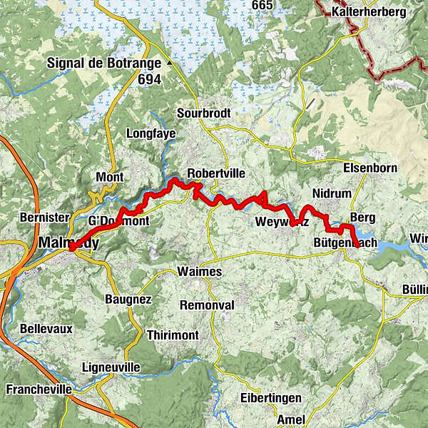
Malmedy0,3 kmBelvédère "La Tournante Roche" (426 m)0,7 kmChapelle du Calvaire0,7 kmChôdes2,4 kmG'Doumont2,8 kmNez de Napoléon7,7 kmCascade de Reinhardstein8,2 kmWévercé17,7 kmBütgenbach22,9 km
- Najlepszy sezon
-
stylutmarkwimajczelipsiewrzpaźlisgru
- Najwyższy punkt
- 559 m
- Miejsce docelowe
-
Bütgenbach Dam. GPS coordinates 50.426068,6.028450
- Profil wysokości
-
 © outdooractive.com


- Autor
-
Wycieczka GR56 – Malmedy / Bütgenbach jest używany przez outdooractive.com pod warunkiem.
GPS Downloads
Więcej wycieczek w regionach
-
Eifel/ Rheinland-Pfalz
1057
-
Hohes Venn
602
-
Weismes
120


