© Agnieszka Wajs - Zermatt Tourismus
© Fabienne Fux-Schaller - Zermatt Tourismus
© Fabienne Fux-Schaller - Zermatt Tourismus

© Fabienne Fux-Schaller - Zermatt Tourismus

© Fabienne Fux-Schaller - Zermatt Tourismus
© Fabienne Fux-Schaller - Zermatt Tourismus

© Fabienne Fux-Schaller - Zermatt Tourismus

- Krótki opis
-
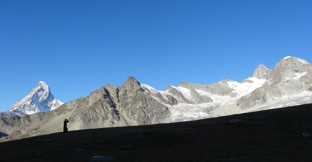
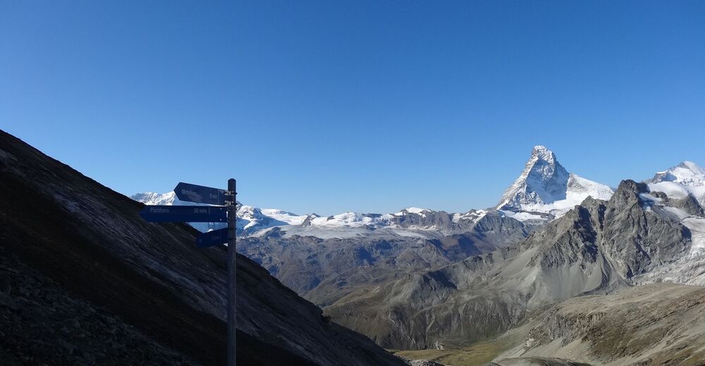
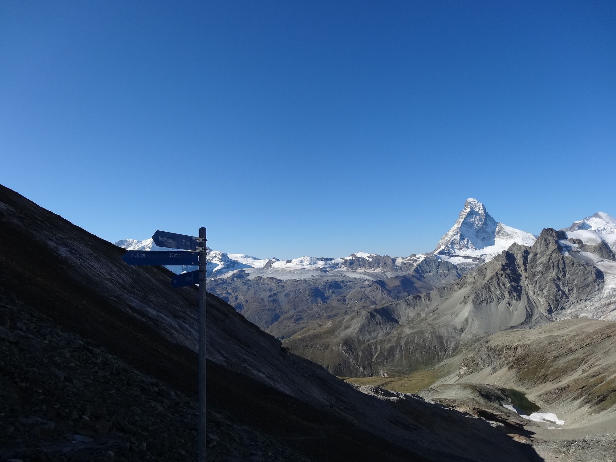
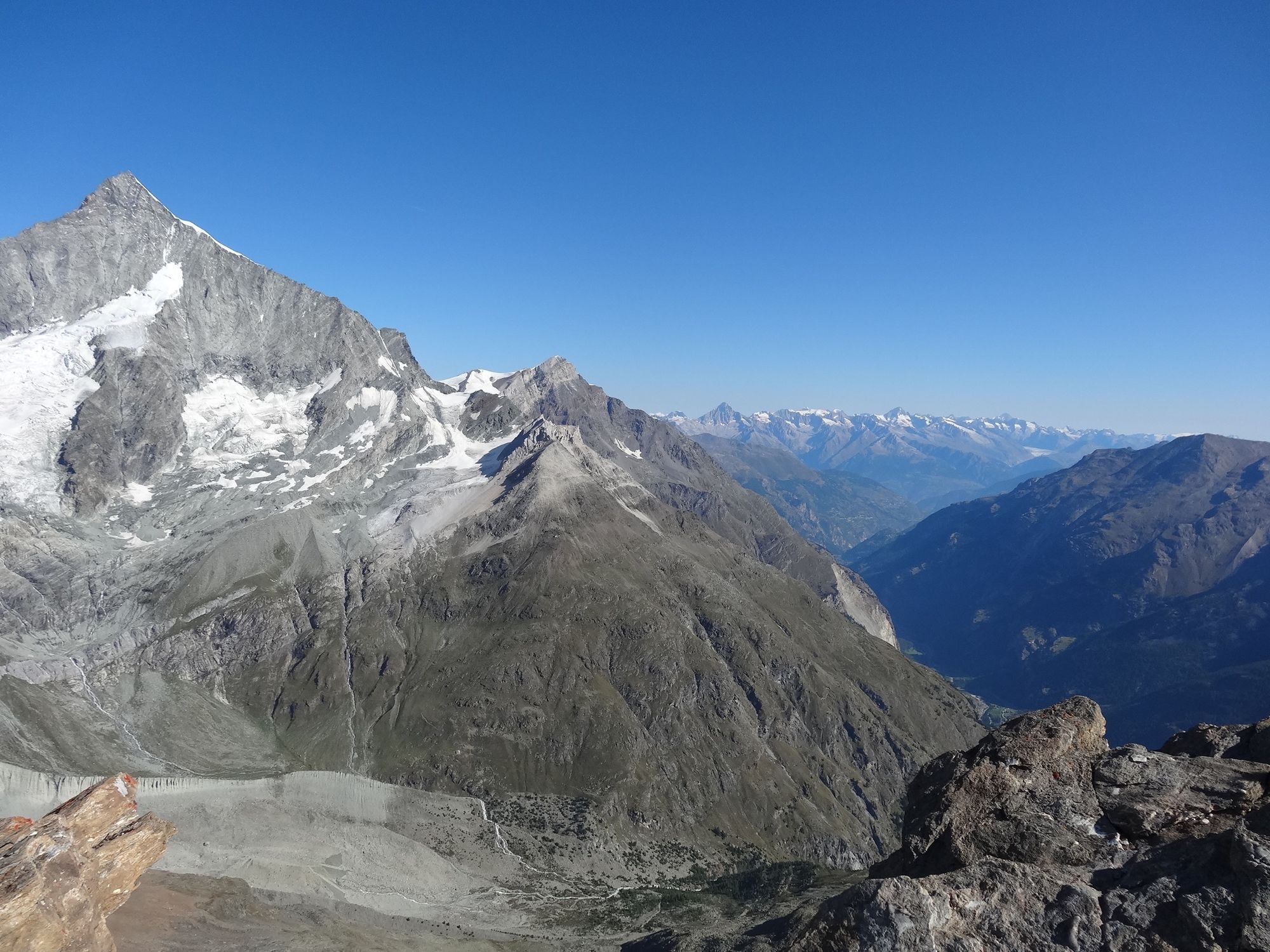
Both mountains, the Mettelhorn and the Platthorn, reveal totally unexpected views to the west: the summit of the Wellenkuppe with its wave of snow, and the Ober Gabelhorn with its dramatic rocky ridges.
- Stopień trudności
-
ciężkie
- Ocena
-
- Trasa
-
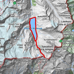
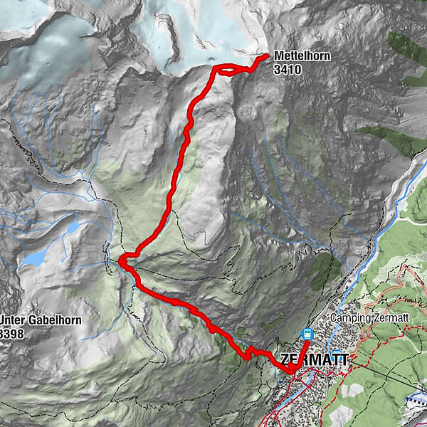
Zermatt (1.608 m)0,3 kmBerggasthaus Trift (2.337 m)4,0 kmPlatthorn (3.345 m)8,2 kmMettelhorn (3.410 m)8,7 km
- Najlepszy sezon
-
stylutmarkwimajczelipsiewrzpaźlisgru
- Najwyższy punkt
- 3.378 m
- Miejsce docelowe
-
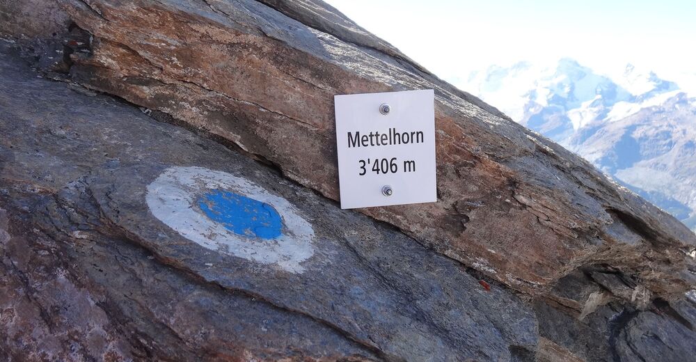
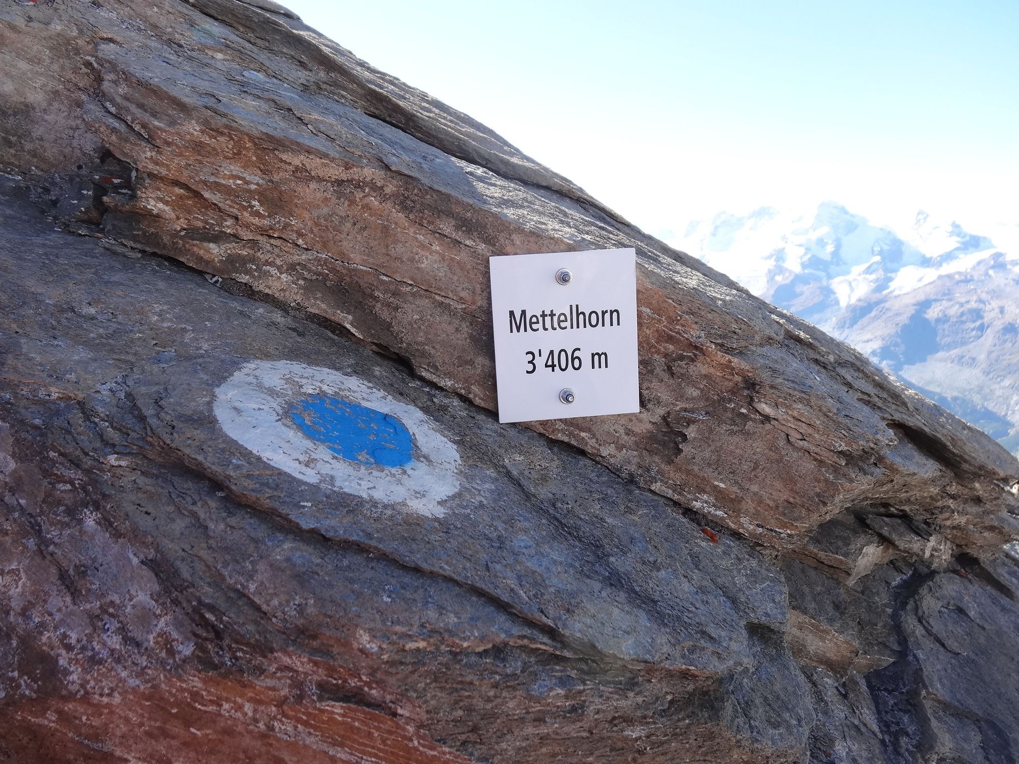
Mettelhorn (3,406 m)
- Profil wysokości
-
 © outdooractive.com


- Autor
-
Wycieczka Platthorn / Mettelhorn (Nr. 33) jest używany przez outdooractive.com pod warunkiem.
GPS Downloads


Informacje ogólne
Przystanek odświeżania
Flora
Fauna
Obiecujący
Więcej wycieczek w regionach
-
Oberwallis
1873
-
Mattertal
555
-
Zermatt
154