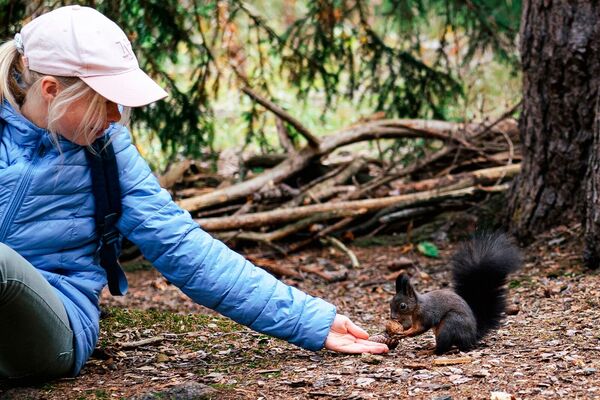
© Val d'Anniviers - Anniviers Tourisme

© Val d'Anniviers - Anniviers Tourisme

© Val d'Anniviers - Anniviers Tourisme
- Krótki opis
-
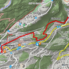
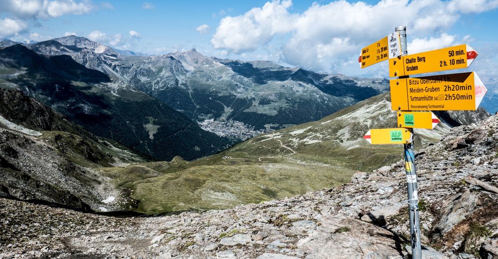
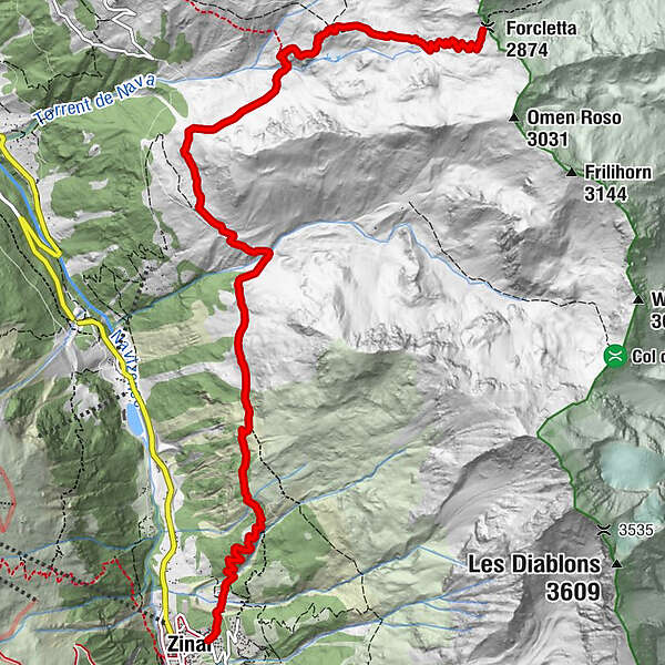
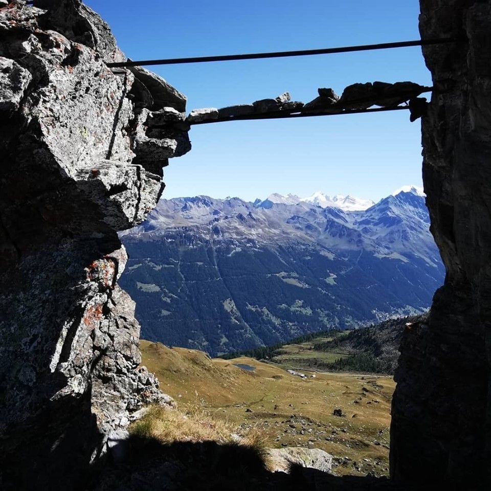
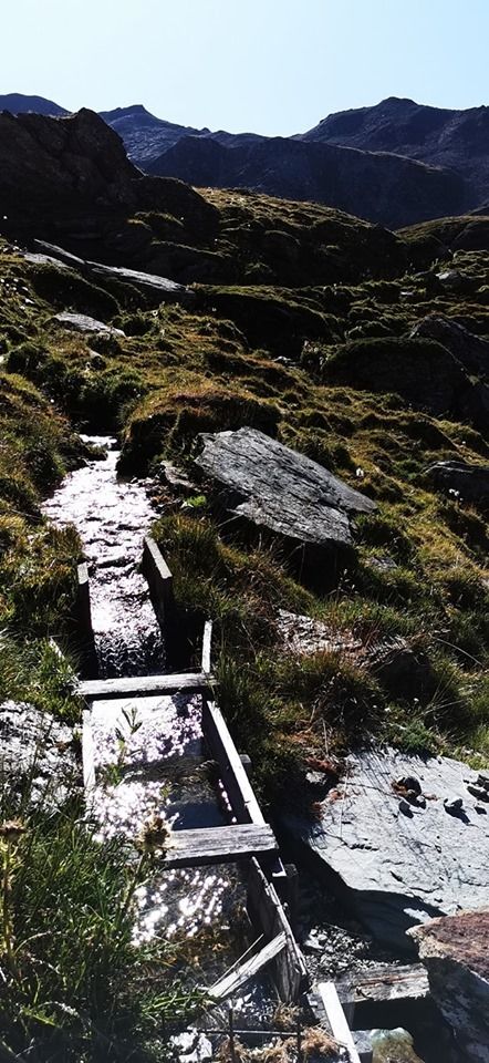
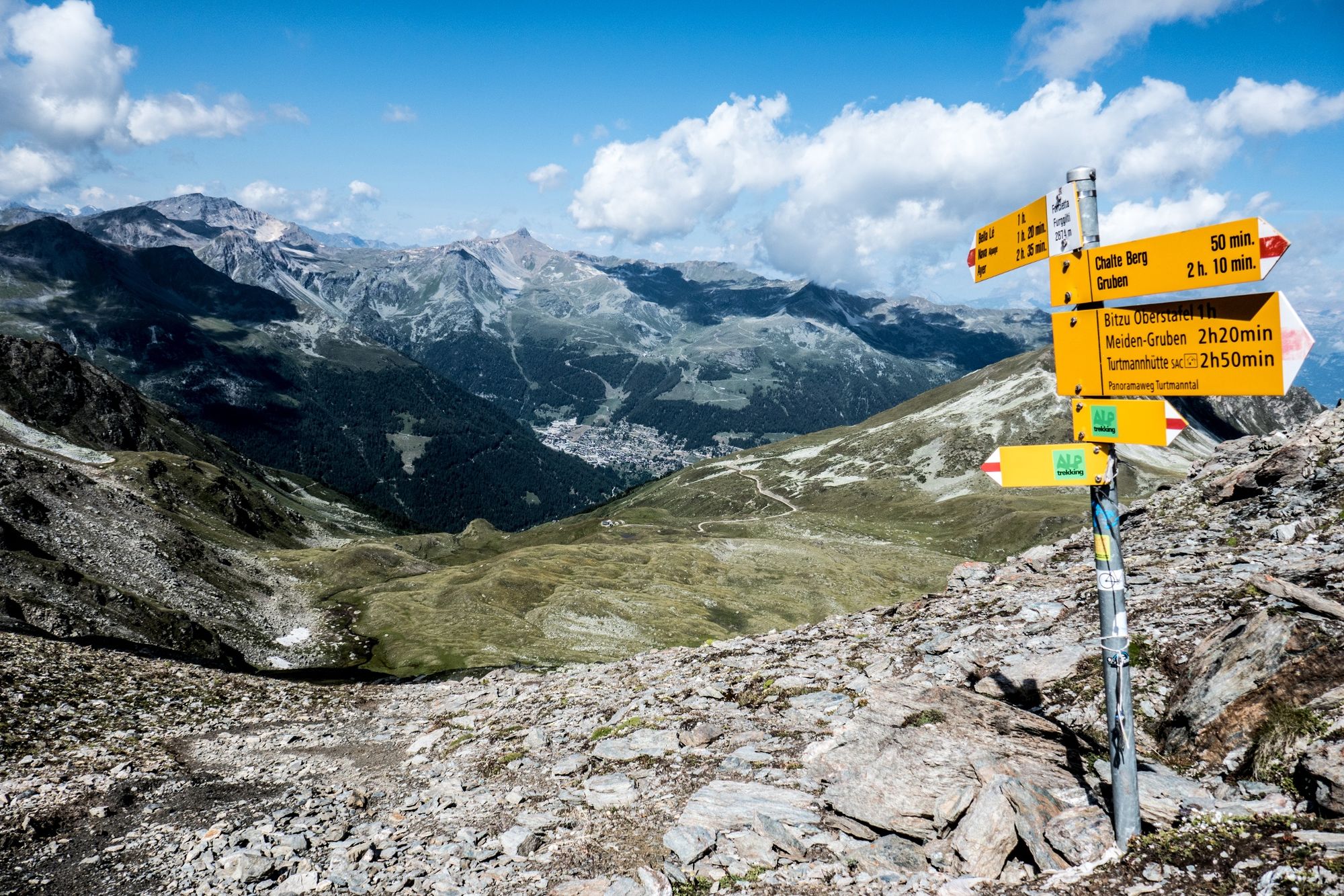
The Forcletta Pass connects the Val d’Anniviers with the neighbouring Turtmanntal Valley. ”Zinal-Forcletta-Grüben” is one of the stages of the Matterhorn Tour hiking trail.
- Stopień trudności
-
ciężkie
- Ocena
-
- Trasa
-
Zinal (1.675 m)Pralonzet0,2 kmFurggilti (2.874 m)9,1 km
- Najwyższy punkt
- 2.844 m
- Miejsce docelowe
-
Col de la Forcletta
- Profil wysokości
-
 © outdooractive.com
-

-
AutorWycieczka Zinal - Col de la Forcletta n°9 jest używany przez outdooractive.com pod warunkiem.
GPS Downloads


Więcej wycieczek w regionach
-
Oberwallis
1872
-
Sierre Anniviers
791
-
Zinal
277