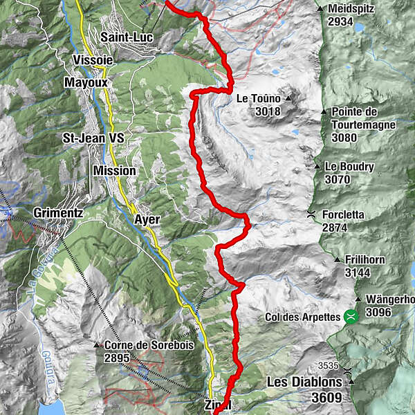
Tour of the Val d'Anniviers : the five 4,000 meter peak hike (stage 2)

Wędrówka

© Val d'Anniviers Tourisme

© Intersoc VZW - Joris Hollebosch

© Intersoc VZW - Joris Hollebosch

© Intersoc VZW - Joris Hollebosch

- Krótki opis
-
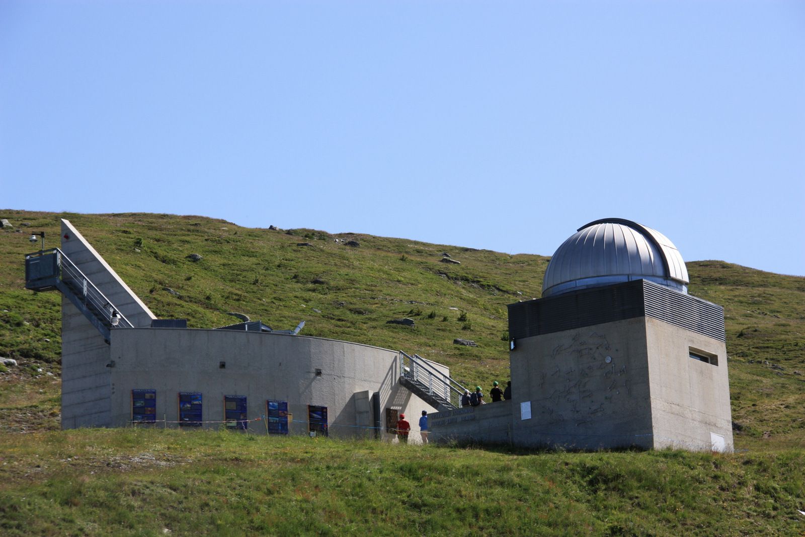
Scenic funicular ride, heavenly astronomical trail, historical hotel and glorious views of the “Couronne Impériale” consisting of five 4,000-metre peaks.
- Stopień trudności
-
średni
- Ocena
-
- Trasa
-
Tignousa (2.182 m)Hôtel Weisshorn4,5 kmPralonzet15,1 kmZinal (1.675 m)15,6 km
- Najlepszy sezon
-
stylutmarkwimajczelipsiewrzpaźlisgru
- Najwyższy punkt
- 2.424 m
- Miejsce docelowe
-
Zinal
- Profil wysokości
-
 © outdooractive.com


-

-
AutorWycieczka Tour of the Val d'Anniviers : the five 4,000 meter peak hike (stage 2) jest używany przez outdooractive.com pod warunkiem.
GPS Downloads


Informacje ogólne
Przystanek odświeżania
Kulturalny/Historyczny
Flora
Fauna
Obiecujący
Więcej wycieczek w regionach
-
Oberwallis
1873
-
Sierre Anniviers
782
-
Zinal
277
")