

© Saastal Tourismus AG

© Saastal Tourismus AG

© Saastal Tourismus AG

© Saastal Tourismus AG

© Saastal Tourismus AG

- Krótki opis
-
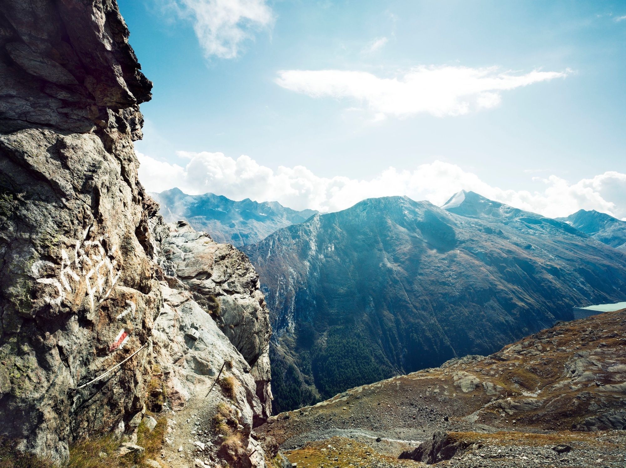
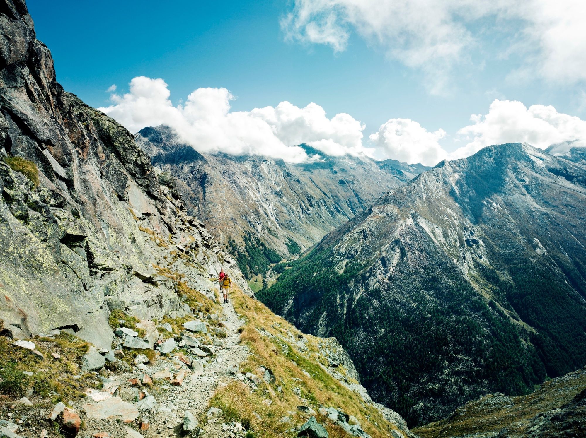
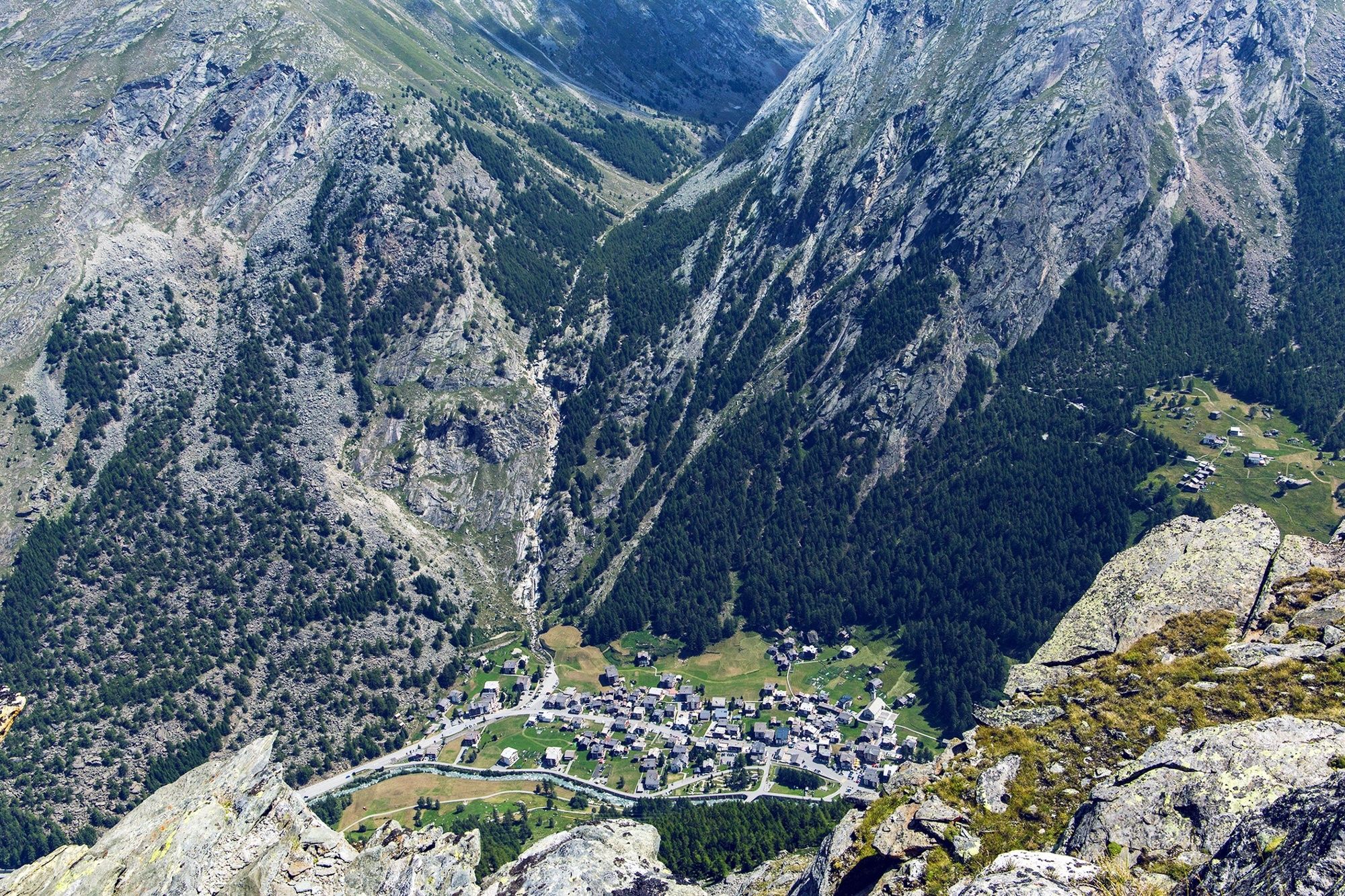
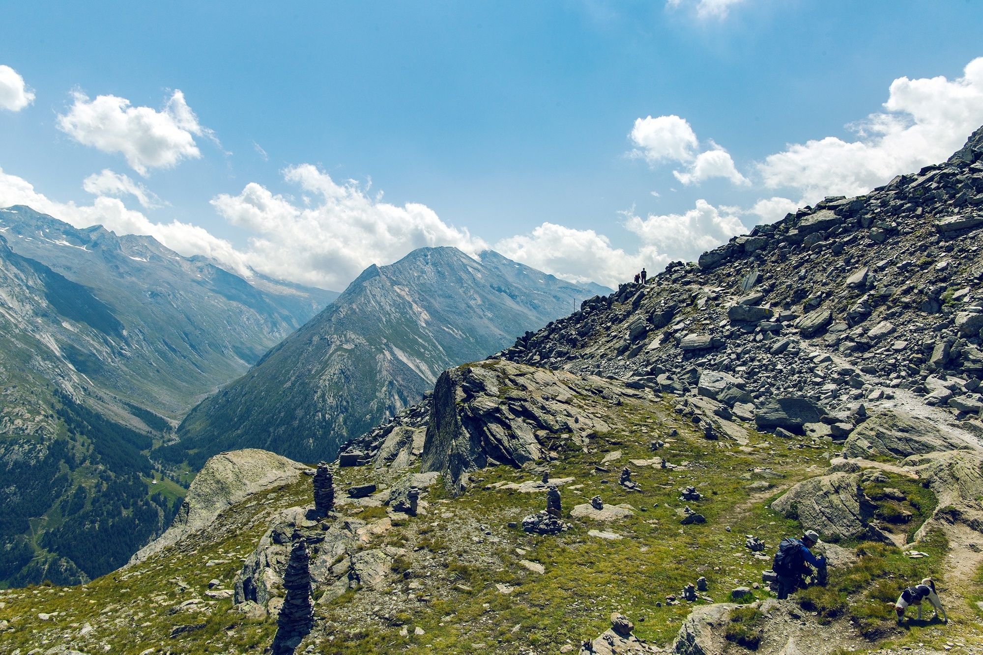
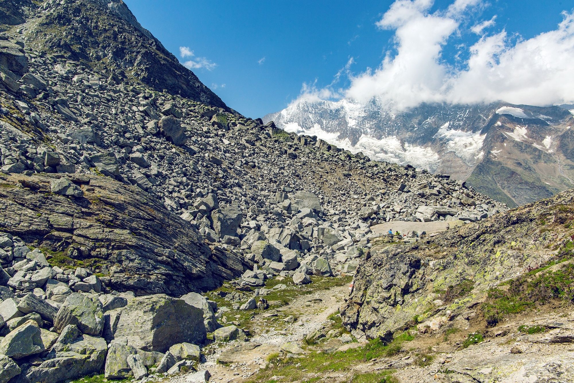
High-altitude hike through a wild glacial landscape between two cable car summit stations. Glorious views plus an ascent to a historical mountaineers’ hut.
- Stopień trudności
-
ciężkie
- Ocena
-
- Trasa
-
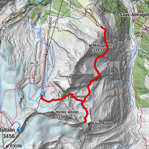
Felskinn (2.989 m)Britanniahütte (3.030 m)2,9 kmPlattjen7,3 kmBergrestaurant Plattjen Terminus7,3 km
- Najlepszy sezon
-
stylutmarkwimajczelipsiewrzpaźlisgru
- Najwyższy punkt
- 3.024 m
- Miejsce docelowe
-
Plattjen, cable car summit station
- Profil wysokości
-
 © outdooractive.com
-

-
AutorWycieczka From Felskinn to the Britannia hut and Plattjen jest używany przez outdooractive.com pod warunkiem.
GPS Downloads


Informacje ogólne
Przystanek odświeżania
Kulturalny/Historyczny
Obiecujący
Więcej wycieczek w regionach
-
Oberwallis
1875
-
Saastal
484
-
Saas-Fee
128


")


