Anzère: Le sentier des Bouquetins: wandeling aan la Grande dixence

Wędrówka

- Krótki opis
-
Le sentier des Bouquetins
- Stopień trudności
-
średni
- Ocena
-
- Trasa
-
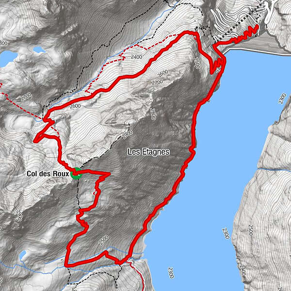
Col des Roux (2.780 m)5,3 kmCol des Roux (2.804 m)5,5 kmCabane de Prafleuri6,4 km
- Najwyższy punkt
- 2.800 m
- Profil wysokości
-
 © outdooractive.com
- Autor
-
Wycieczka Anzère: Le sentier des Bouquetins: wandeling aan la Grande dixence jest używany przez outdooractive.com pod warunkiem.
GPS Downloads


Więcej wycieczek w regionach
-
Unterwallis
1201
-
Evolène
651
-
Arolla
91


