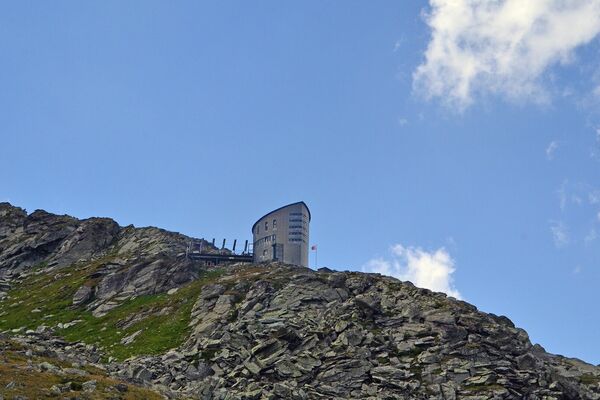
© AlpsInsight - Dan Patitucci
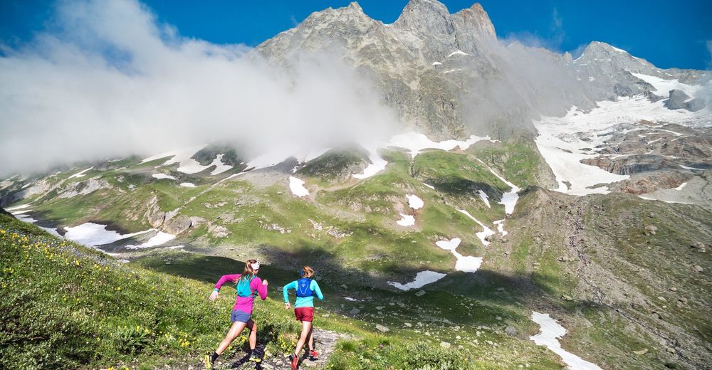
© AlpsInsight - Dan Patitucci
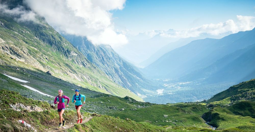
© AlpsInsight - Dan Patitucci


- Krótki opis
-
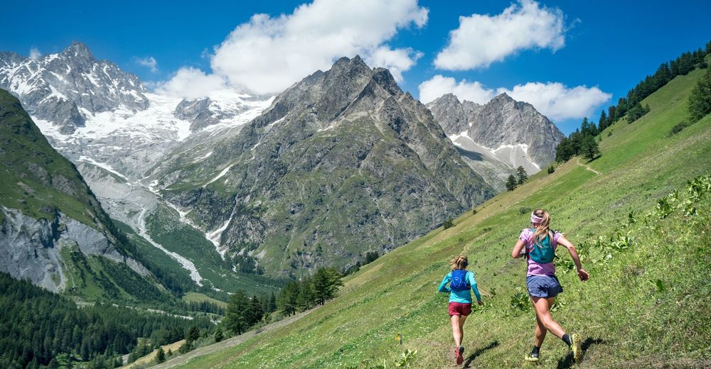
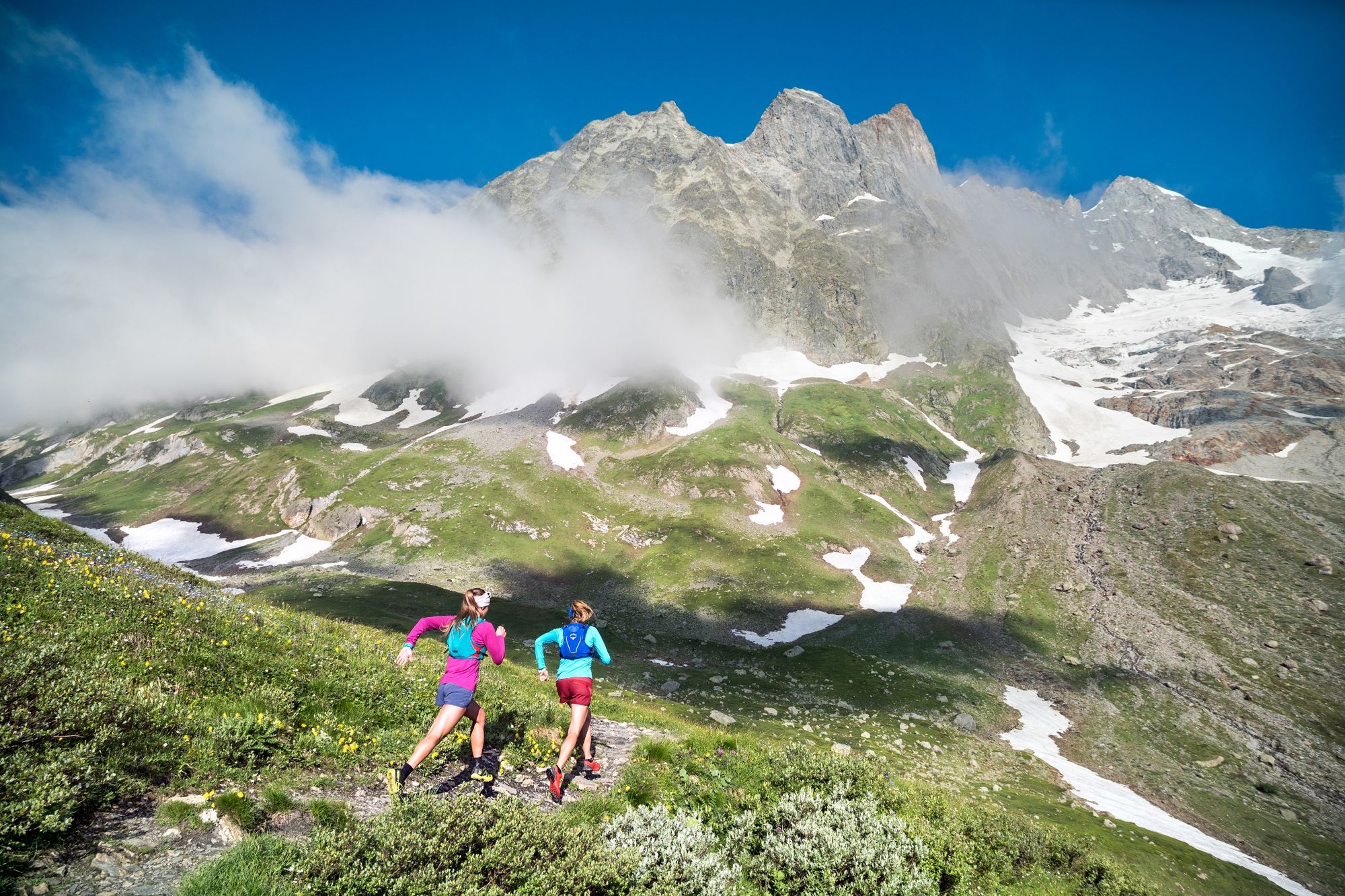
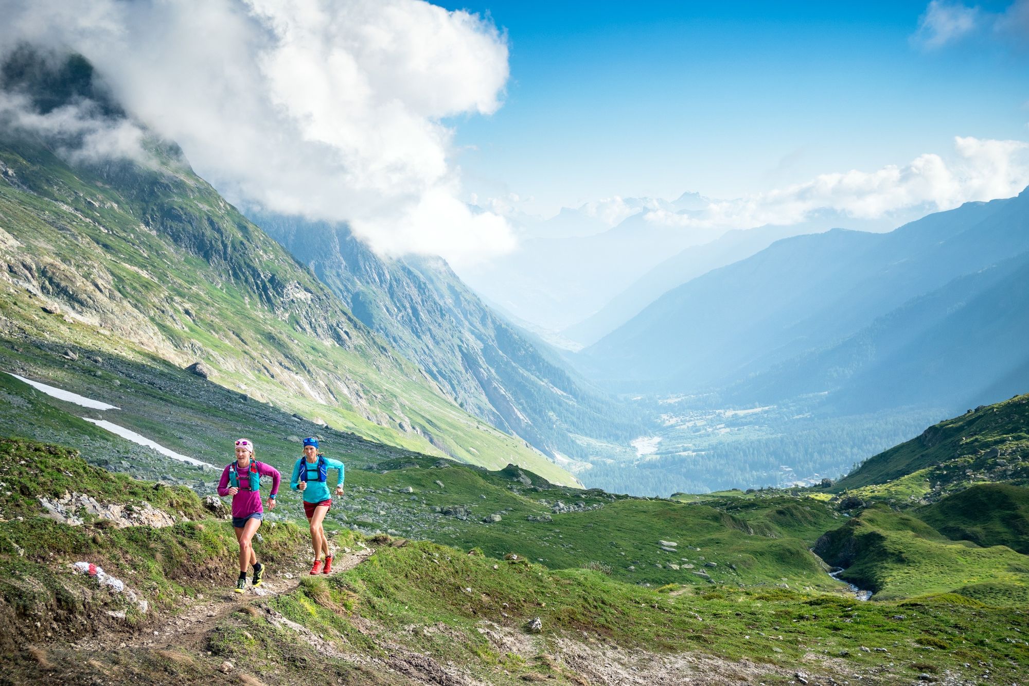
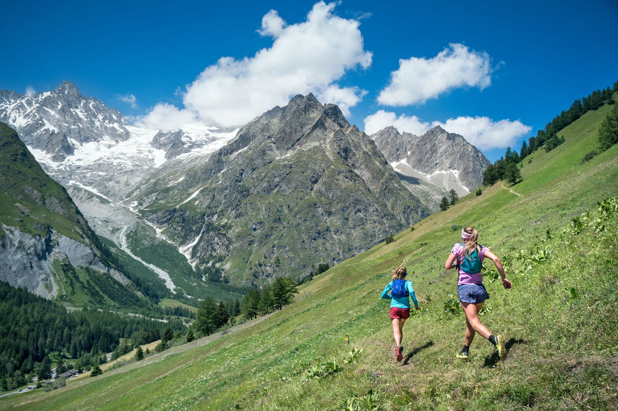
This itinerary in the heart of the Val Ferret offers a breathtaking view of the Italian-Swiss valley and the jagged mountains that overlook it.
- Stopień trudności
-
średni
- Ocena
-
- Trasa
-
La FoulyLe Clou0,4 kmGîte de la Léchère1,4 kmLa Peule (2.071 m)11,4 kmFerret19,2 kmLes Granges20,3 kmLe Clou20,7 kmLa Fouly21,4 km
- Najlepszy sezon
-
stylutmarkwimajczelipsiewrzpaźlisgru
- Najwyższy punkt
- 2.557 m
- Miejsce docelowe
-
La Fouly
- Profil wysokości
-
 © outdooractive.com
- Autor
-
Wycieczka Val Ferret from La Fouly jest używany przez outdooractive.com pod warunkiem.
GPS Downloads


Informacje ogólne
Przystanek odświeżania
Kulturalny/Historyczny
Wskazówka dla osób mających dostęp do poufnych informacji
Flora
Fauna
Obiecujący
Więcej wycieczek w regionach