
- Krótki opis
-
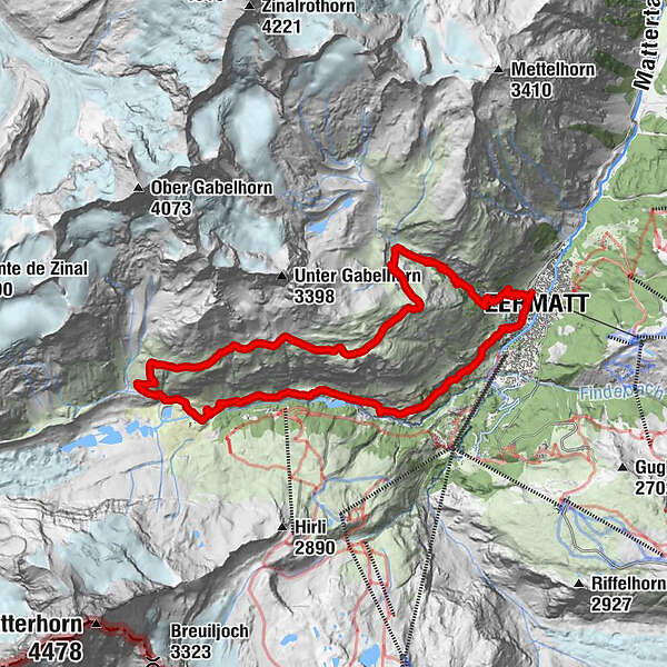
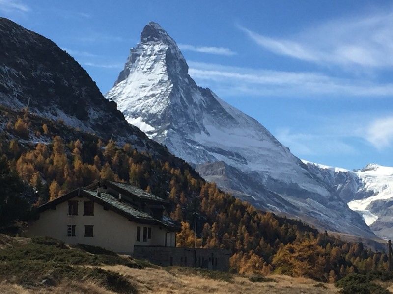
Enjoy an exceptional view of the Matterhorn from this loop which combines a particularly steep start with a long singletrack above the Zermatt valley.
- Stopień trudności
-
ciężkie
- Ocena
-
- Trasa
-
Zermatt (1.608 m)0,0 kmBerggasthaus Trift (2.337 m)3,8 kmZmuttbachfall11,6 kmRestaurant Jägerstube16,2 kmZmutt16,2 kmKirche St. Mauritius19,4 kmZermatt (1.608 m)19,7 km
- Najlepszy sezon
-
stylutmarkwimajczelipsiewrzpaźlisgru
- Najwyższy punkt
- 2.742 m
- Miejsce docelowe
-
Zermatt
- Profil wysokości
-
 © outdooractive.com


- Autor
-
Wycieczka Zermatt Höhbalmen Loop jest używany przez outdooractive.com pod warunkiem.
GPS Downloads


Informacje ogólne
Przystanek odświeżania
Kulturalny/Historyczny
Wskazówka dla osób mających dostęp do poufnych informacji
Flora
Fauna
Obiecujący
Więcej wycieczek w regionach
-
Oberwallis
114
-
Mattertal
34
-
Zermatt
14