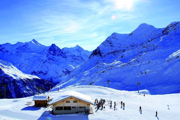
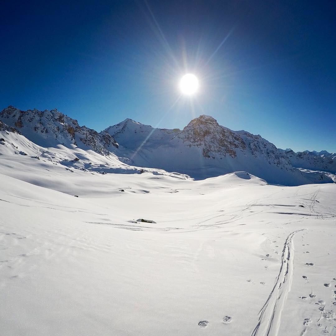
© Val d'Anniviers - Anniviers Tourisme

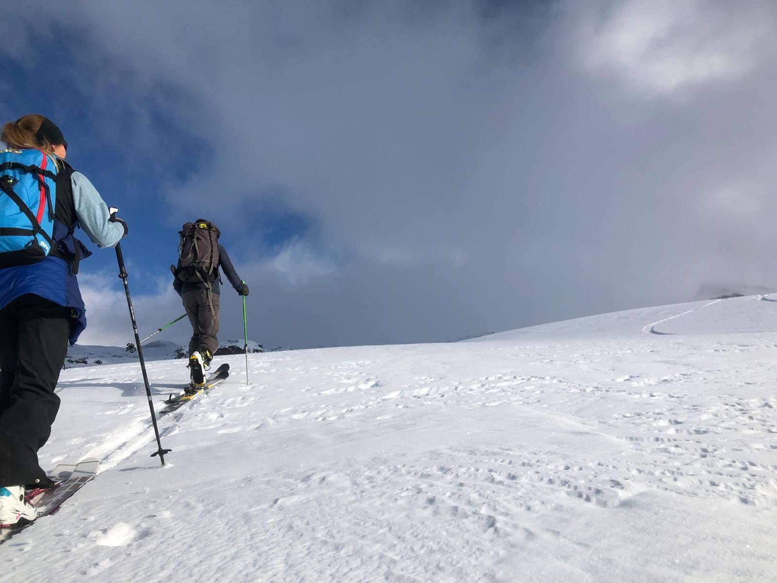
© Val d'Anniviers - Anniviers Tourisme

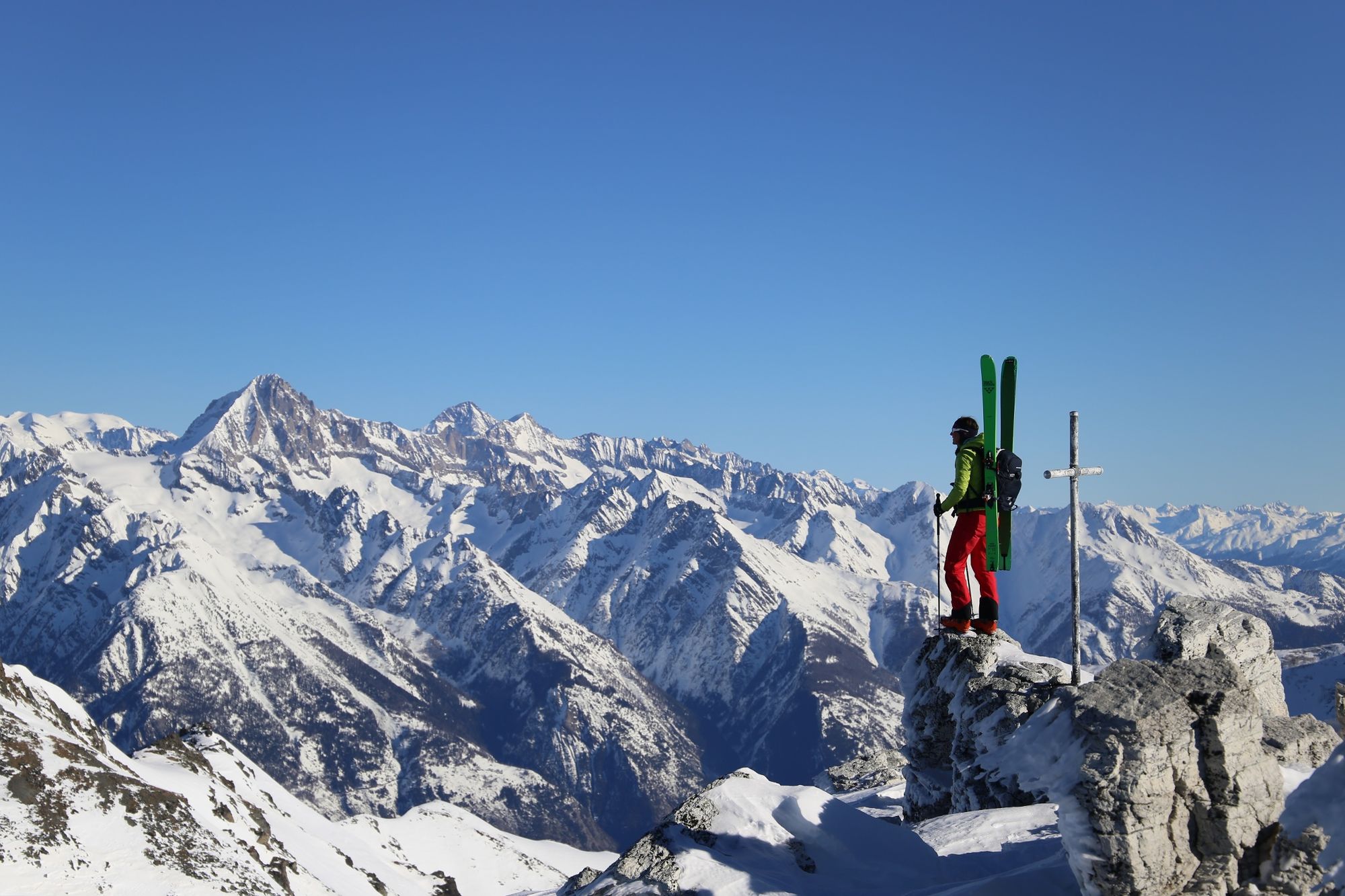
© Val d'Anniviers - Anniviers Tourisme

© Val d'Anniviers - Anniviers Tourisme

© Val d'Anniviers - Anniviers Tourisme

© Val d'Anniviers - Anniviers Tourisme

- Krótki opis
-
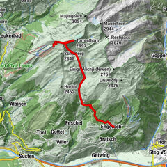
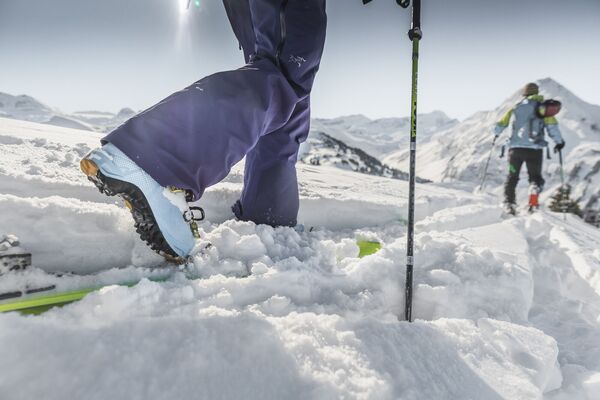
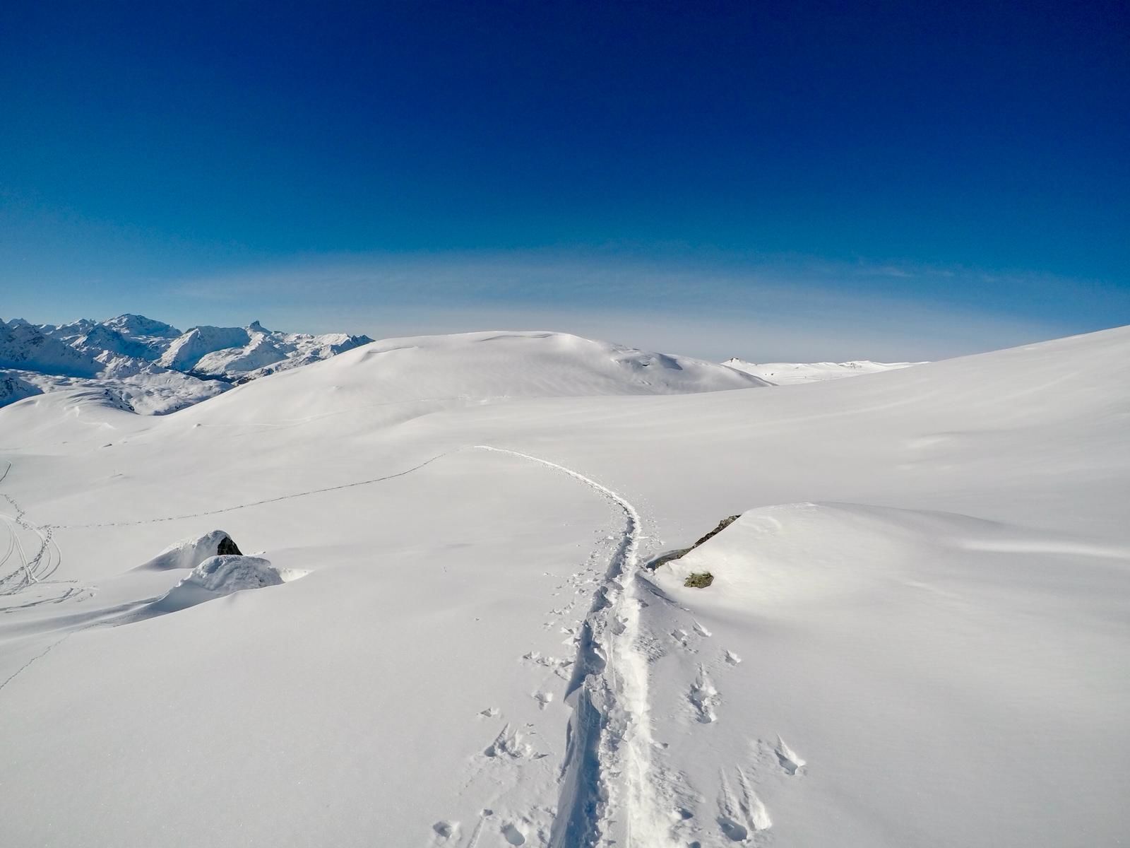
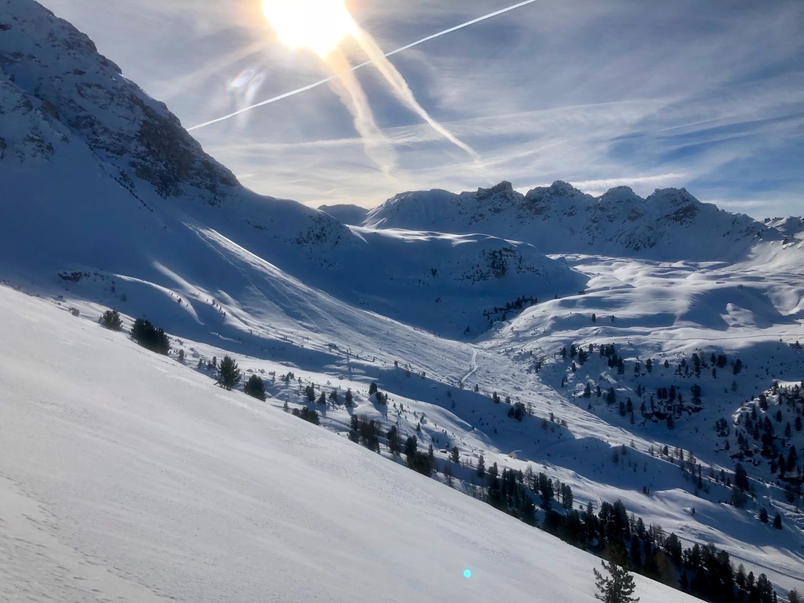
A challenging trail, with two sections requiring you to carry your skis, linking St-Luc to the summit of Bella Tola, more than 3000 metres above sea level.
- Stopień trudności
-
ciężkie
- Ocena
-
- Trasa
-
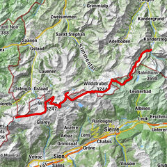
Le Prilett0,0 kmVuibiesse1,0 kmPas de Boeuf (2.817 m)6,3 kmBella Tola (3.025 m)7,2 km
- Najwyższy punkt
- 3.004 m
- Miejsce docelowe
-
Sommet de la Bella Tola
- Profil wysokości
-
 © outdooractive.com
-

-
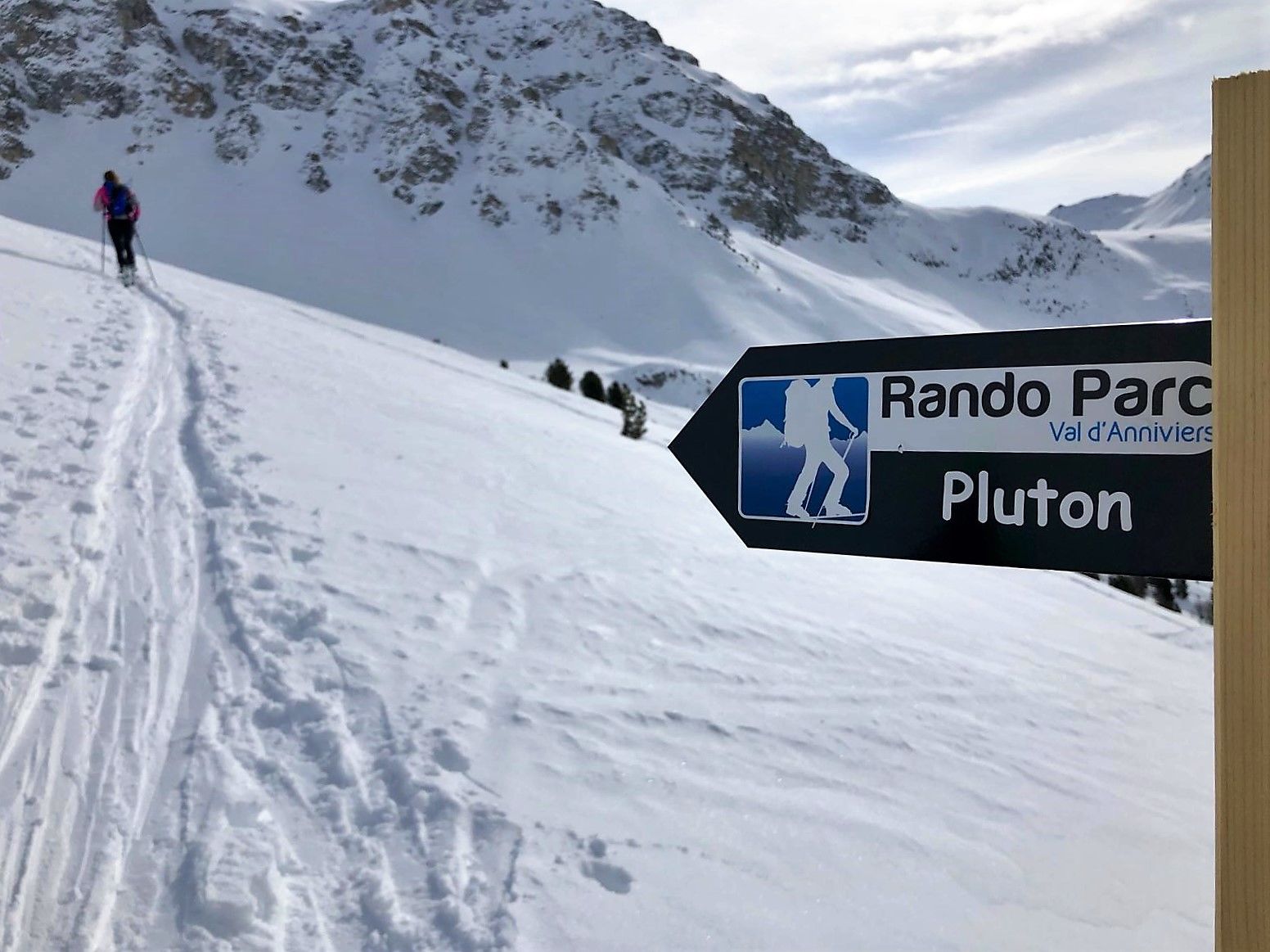
AutorWycieczka St-Luc : Rando Parc / Pluton jest używany przez outdooractive.com pod warunkiem.
GPS Downloads


Informacje ogólne
Obiecujący
Więcej wycieczek w regionach
-
Oberwallis
117
-
Sierre Anniviers
42
-
St-Luc / Chandolin
13