- Krótki opis
-
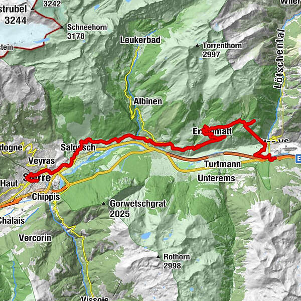
Cycling route: Gampel - Siders
- Stopień trudności
-
średni
- Ocena
-
- Trasa
-
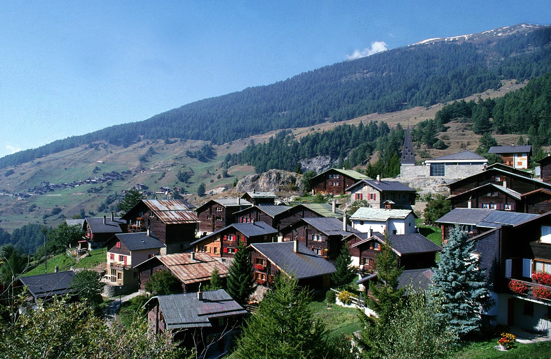
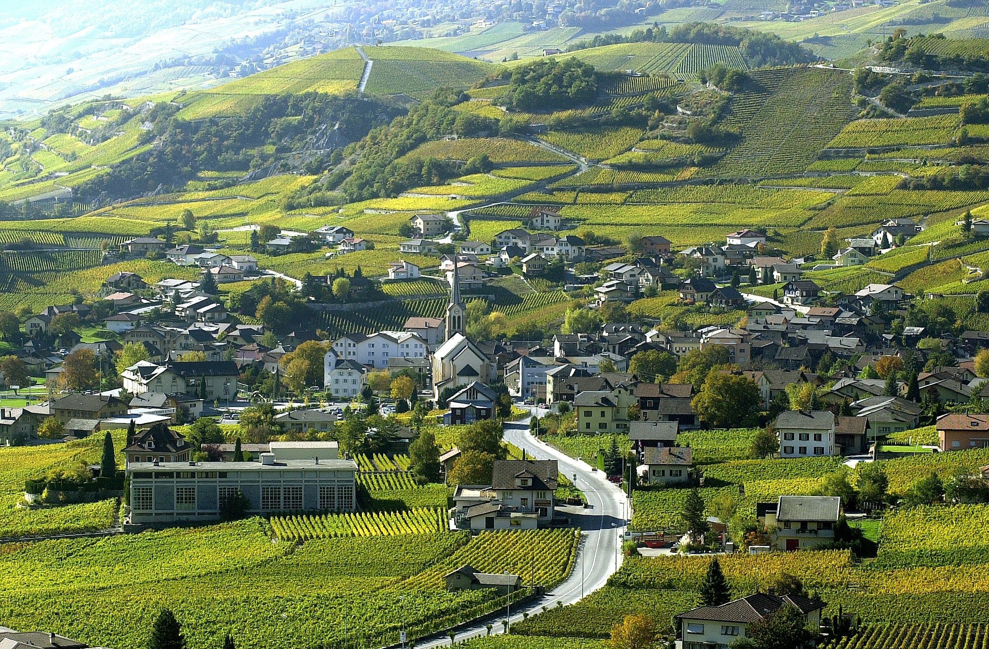
Gampel-Steg (632 m)0,1 kmGampilgaar (Niedergesteln)0,4 kmGampel3,1 kmEggu4,7 kmRestaurant Seilbahn (1.518 m)4,7 kmRestaurant Bielti (1.490 m)4,7 kmJeizinen (1.525 m)4,9 kmKirche Geburt Mariens5,2 kmBiälti5,3 kmBrumatten5,4 kmAchermatten5,5 kmRestaurant Park (1.532 m)6,5 kmJeizinen SJN (1.530 m)6,9 kmTrogachra7,0 kmEngersch7,9 kmErschmatt (1.228 m)11,9 kmBratsch13,4 kmUnter Rotafen16,6 kmOber Rotafen16,6 kmSusten (630 m)19,2 kmLeuk Stadt (731 m)19,9 kmKirche19,9 kmVaronne22,2 kmVarensis22,8 kmSonne26,2 kmKirche St. Johann Baptist26,5 kmSalgesch (581 m)26,6 kmGlarey29,8 kmMuraz31,0 kmVilla31,9 kmSiders (534 m)32,5 kmSiders (533 m)32,7 km
- Najlepszy sezon
-
stylutmarkwimajczelipsiewrzpaźlisgru
- Najwyższy punkt
- 1.585 m
- Miejsce docelowe
-
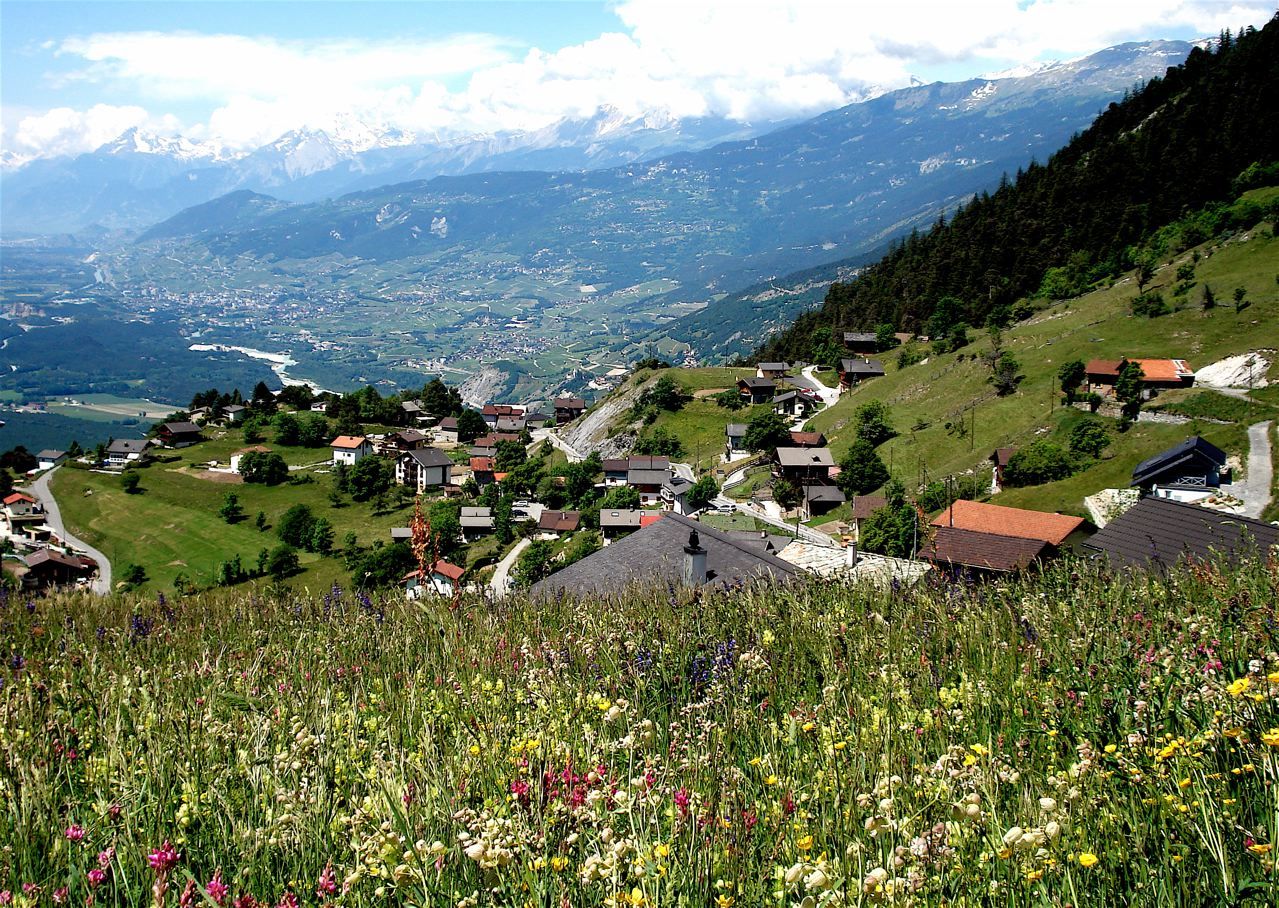
Sierre
- Profil wysokości
-
 © outdooractive.com
- Autor
-
Wycieczka Cycling route: Gampel - Siders jest używany przez outdooractive.com pod warunkiem.
GPS Downloads


Więcej wycieczek w regionach
-
Oberwallis
121
-
Turtmanntal
60
-
Agarn
25