© Pays du St-Bernard - Gaëtan Tornay


- Krótki opis
-
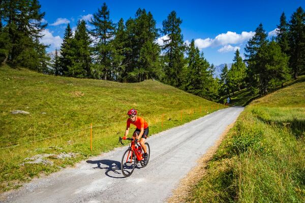
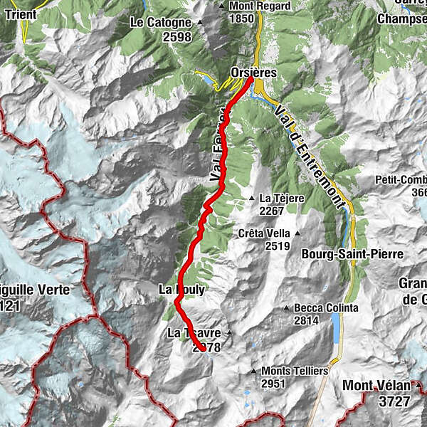
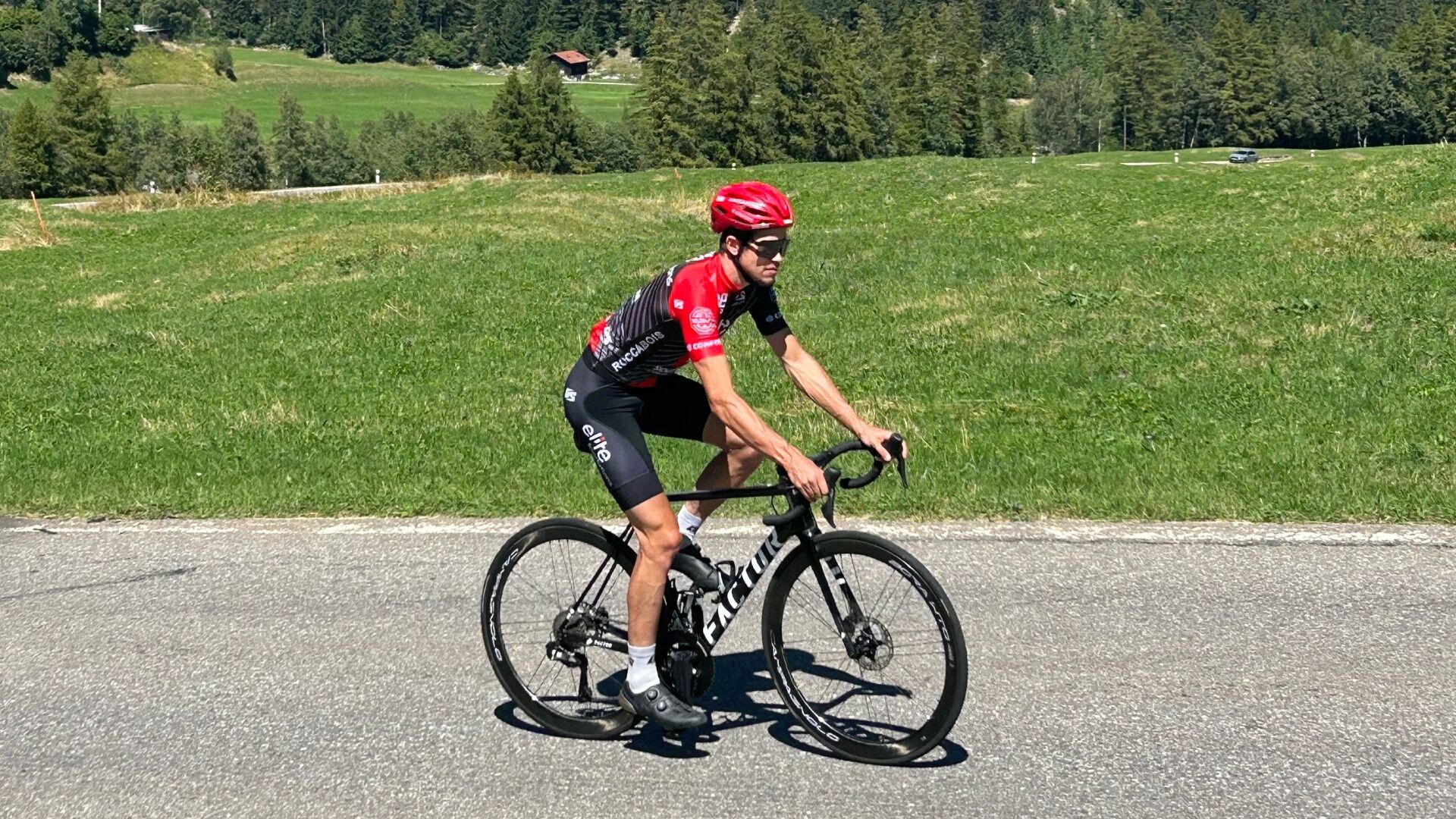
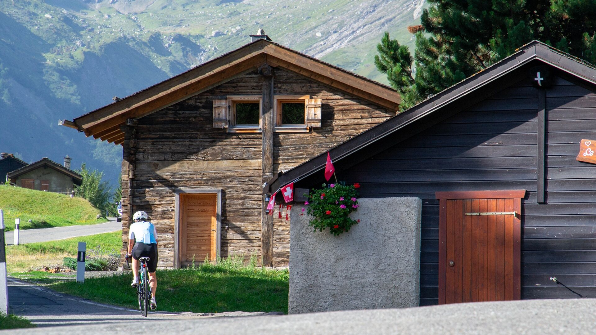
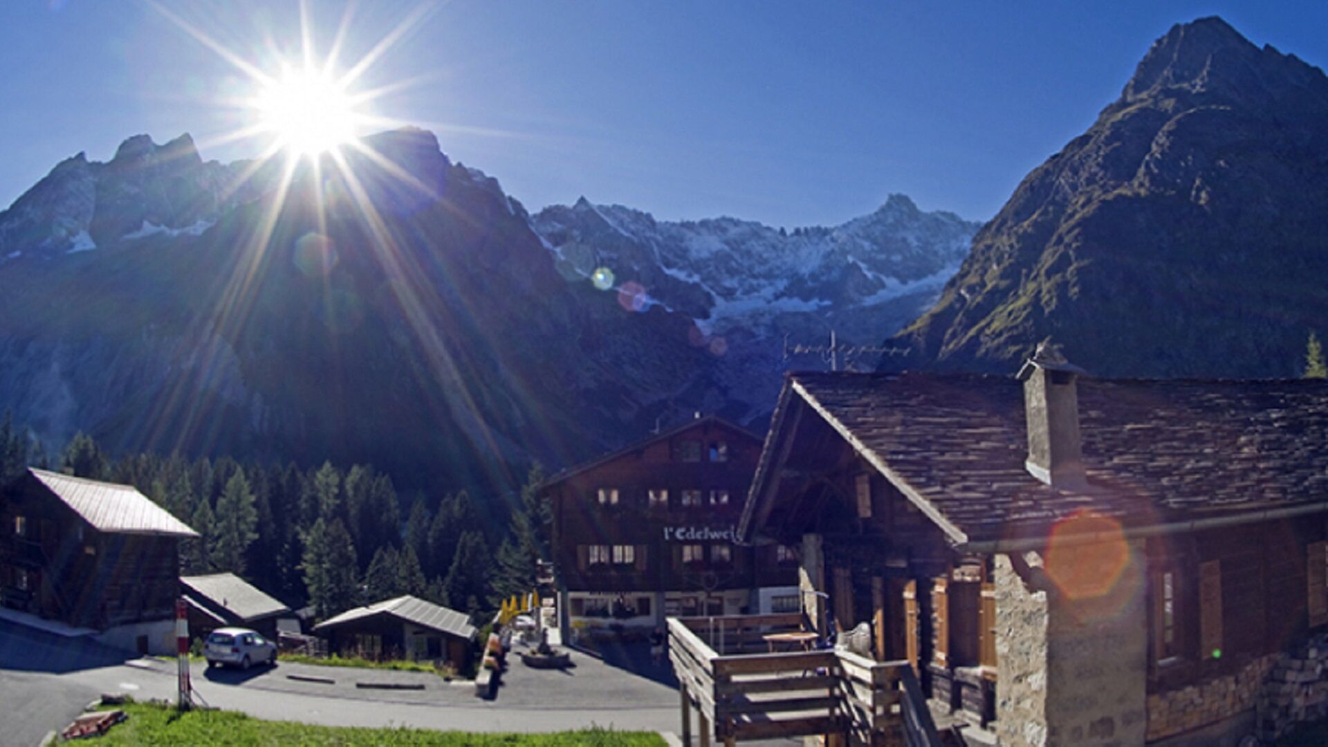
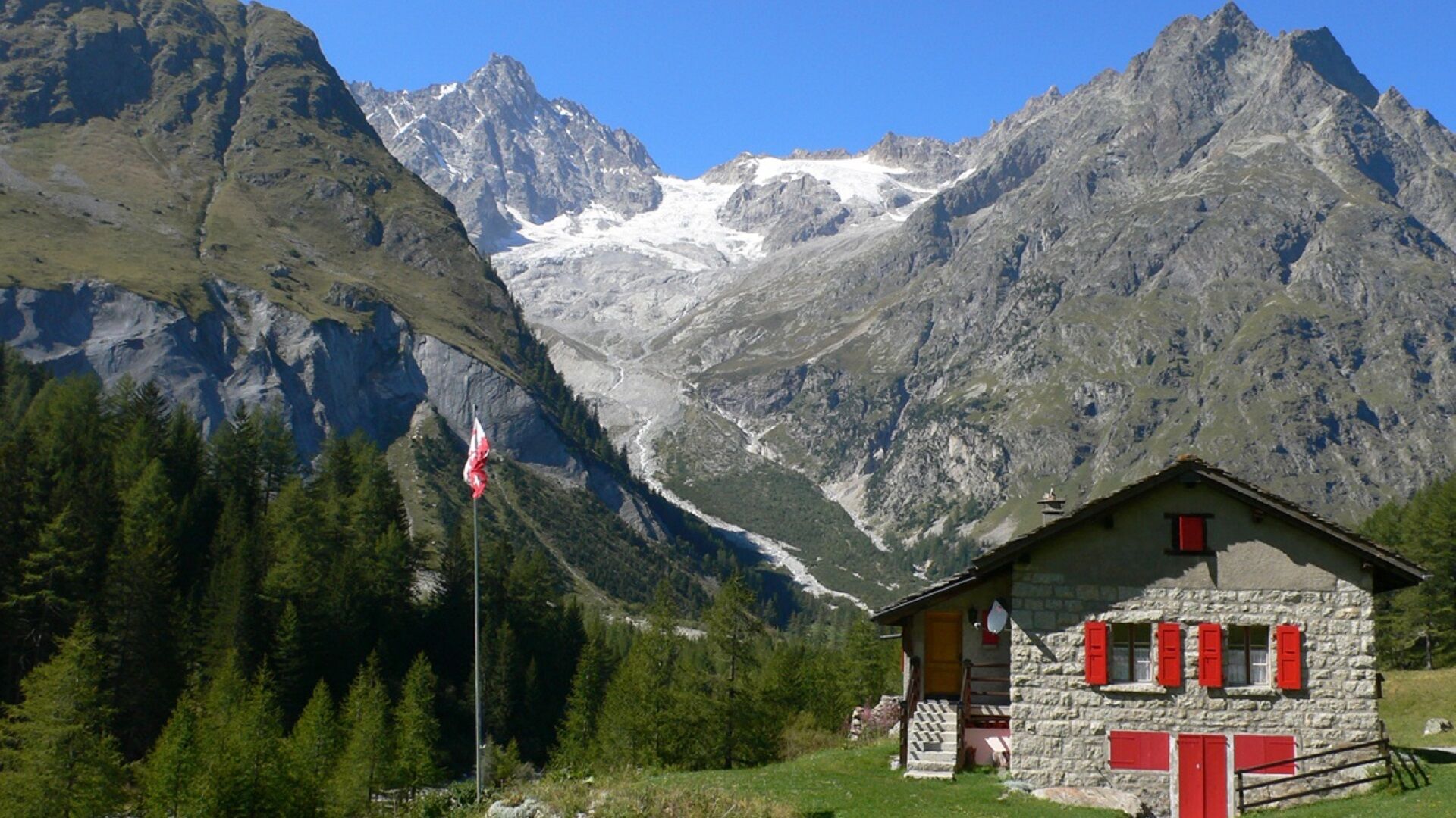
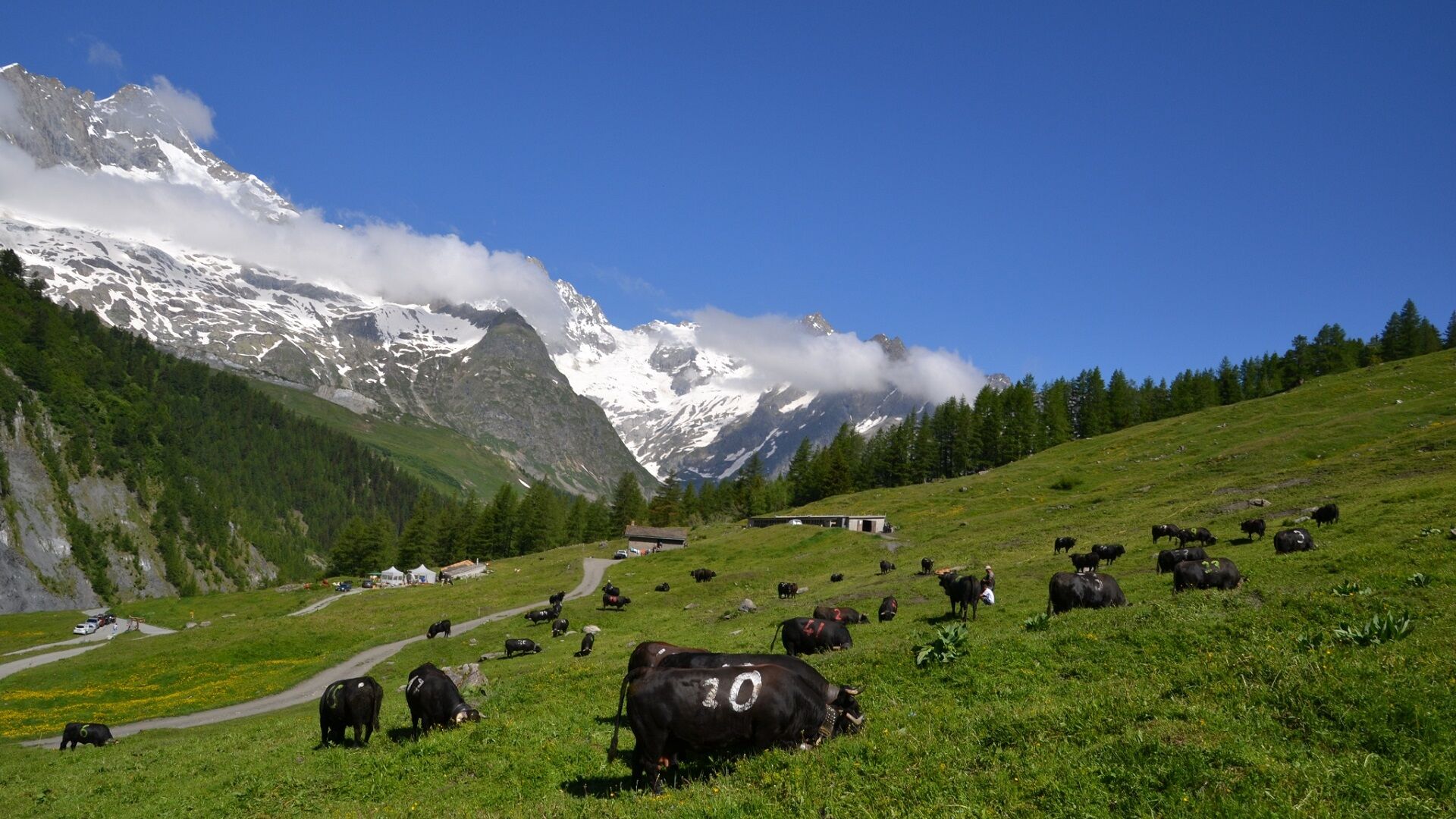
Go up the Val Ferret from the main village of Orsières to the mountain pastures!
- Stopień trudności
-
średni
- Ocena
-
- Trasa
-
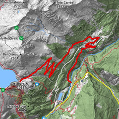
Orsières (902 m)Le Quai de l'Ours/Hôtel Terminus0,0 kmSom-la-Proz1,4 kmLe Châtelet, Restaurant du3,4 kmIssert3,5 kmLes Arlaches4,4 kmChapelle de Praz-de-Fort5,0 kmPraz-de-Fort5,1 kmLe Revers5,6 kmSaleinaz5,7 kmBranche d'en Bas8,3 kmBranche d'en Haut8,9 kmCafé Restaurant du Dolent9,8 kmPrayon9,9 kmLa Seiloz10,7 kmL'Amône11,4 kmEdelweiss12,5 kmLa Fouly12,5 kmAuberge de la Fouly12,6 kmAuberge des Glaciers12,6 kmLe Clou13,5 kmLes Granges14,0 kmHôtel du Col de Fenêtre14,8 kmFerret14,9 km
- Najlepszy sezon
-
stylutmarkwimajczelipsiewrzpaźlisgru
- Najwyższy punkt
- 1.782 m
- Miejsce docelowe
-
Orsières train station
- Profil wysokości
-
 © outdooractive.com

- Autor
-
Wycieczka Val Ferret jest używany przez outdooractive.com pod warunkiem.
GPS Downloads


Informacje ogólne
Przystanek odświeżania
Fauna
Obiecujący
Więcej wycieczek w regionach