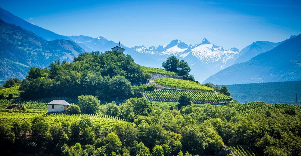
© Valais/Wallis Promotion - Frederic Huber
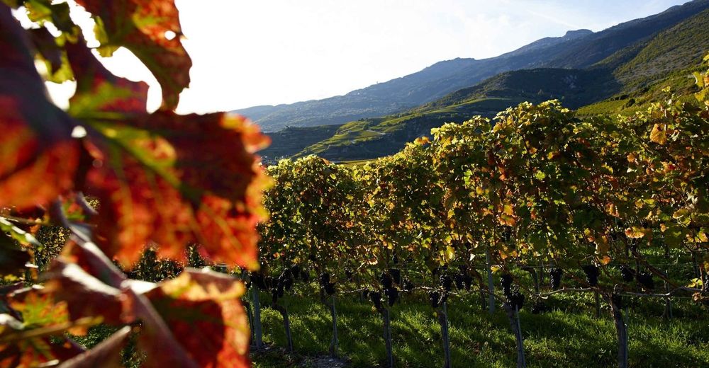
© Valais/Wallis Promotion - Christian Pfammatter
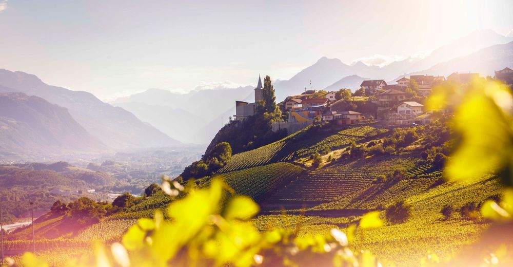
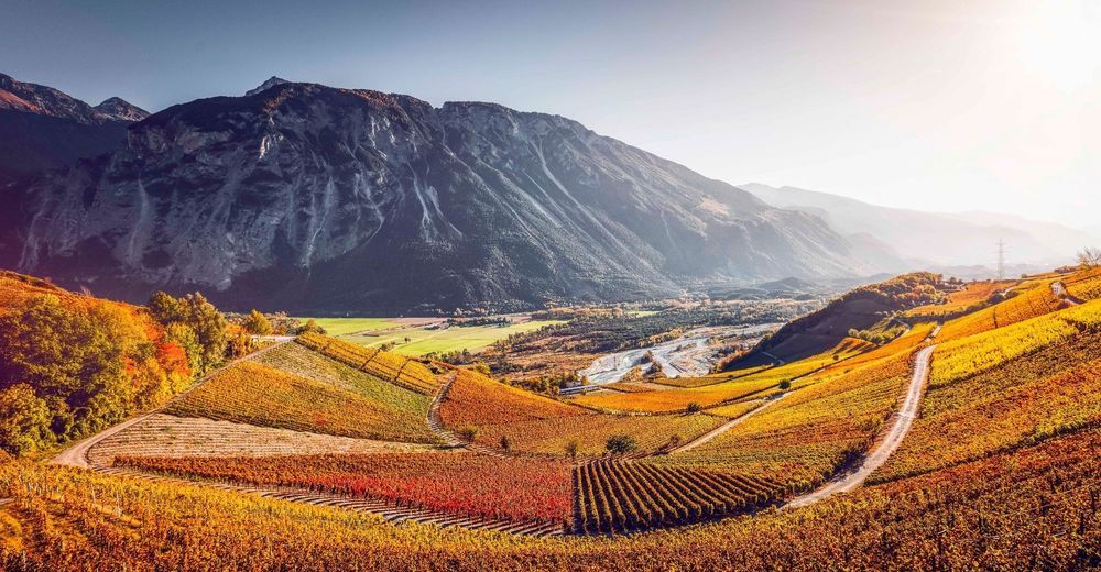
© Valais/Wallis Promotion - Pascal Gertschen
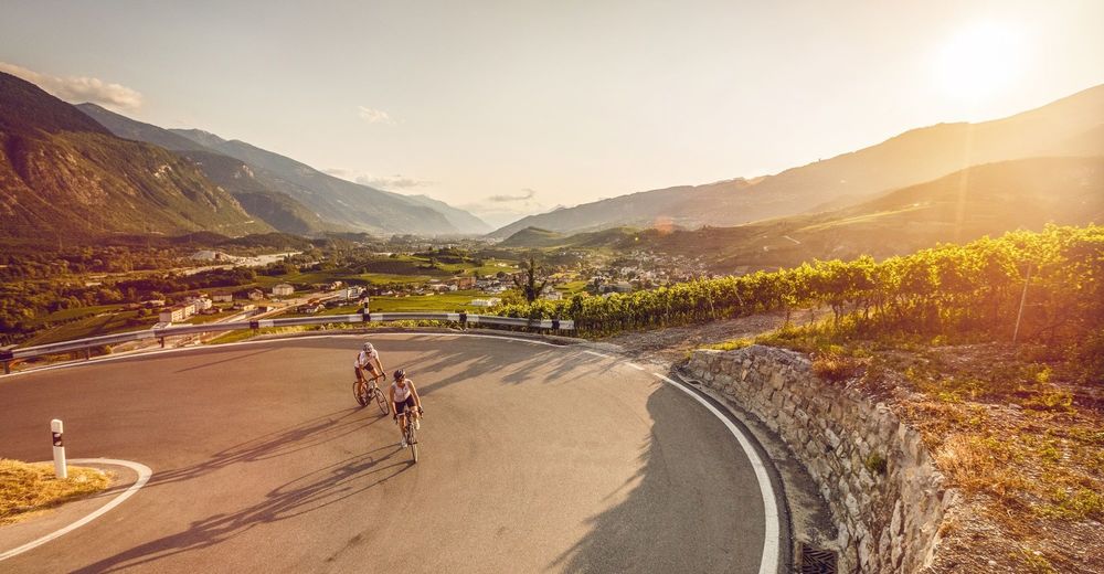
© Valais/Wallis Promotion - Frederic Huber
© Valais/Wallis Promotion - Pascal Gertschen

- Krótki opis
-
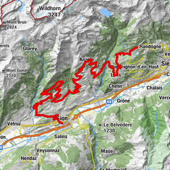
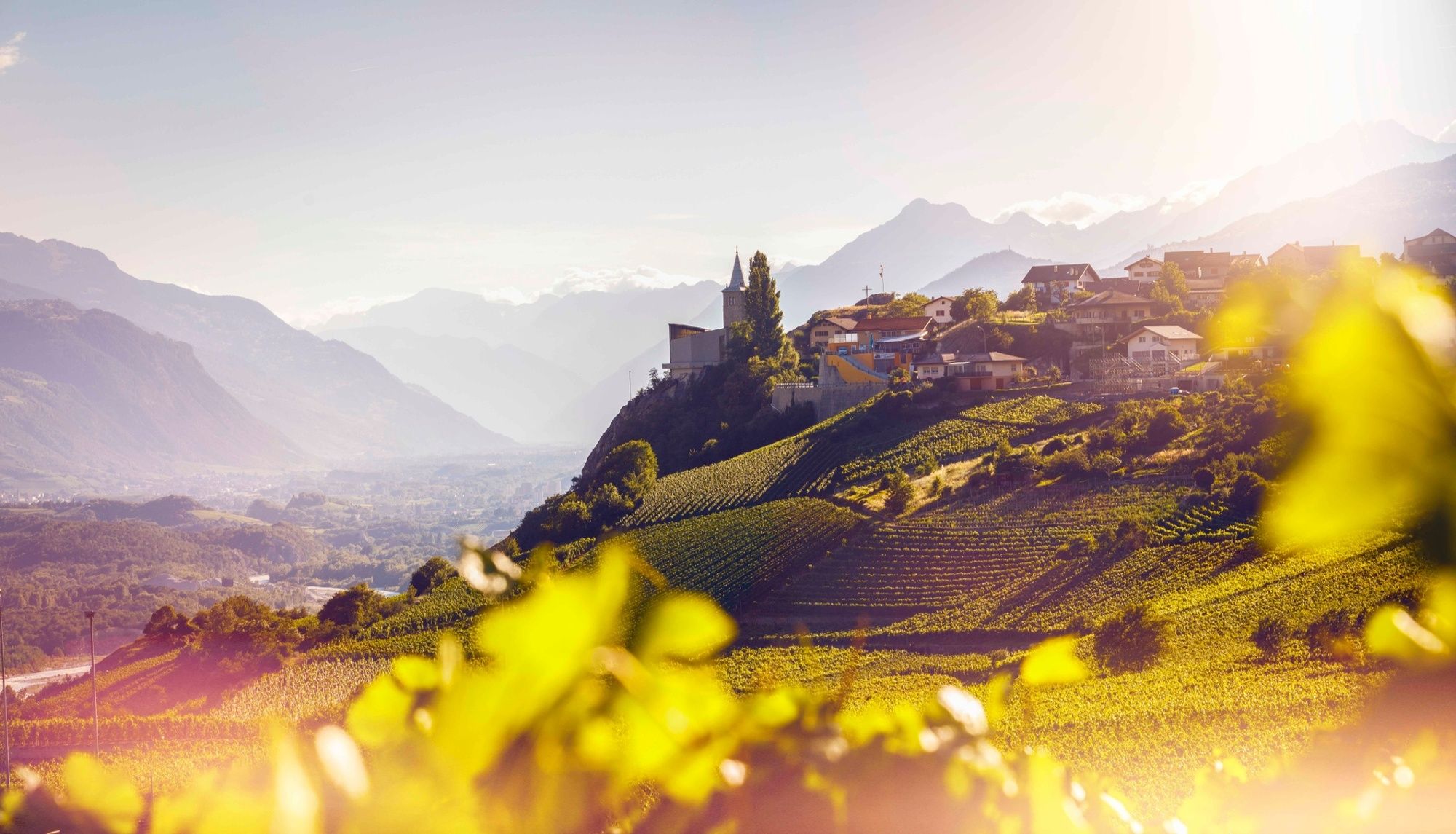
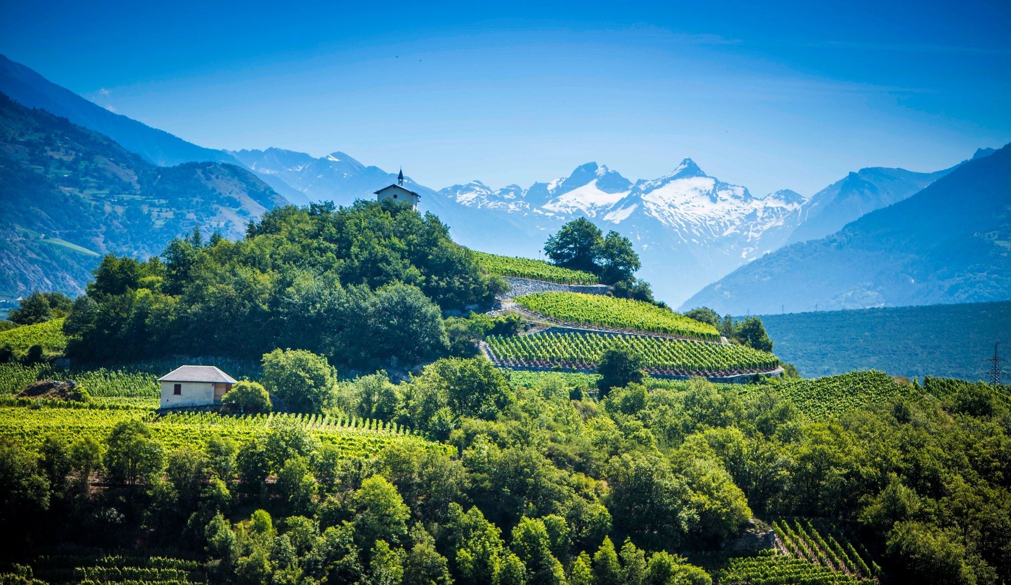
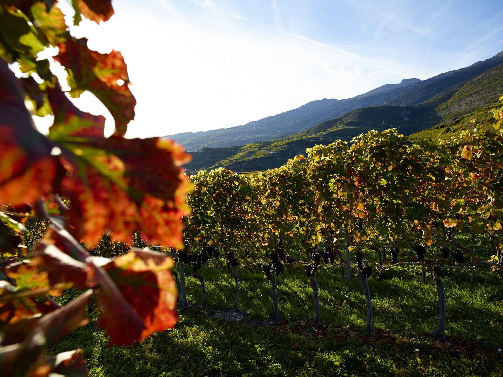
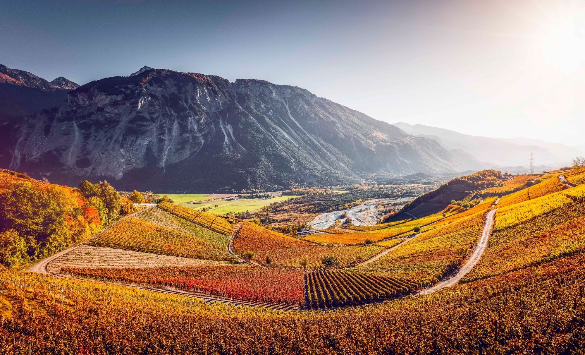
The second stage of the Vineyard Trail takes you on a journey from the historical monuments of the capital of Valais through sunny vineyards to the heart of the town of Leuk.
- Stopień trudności
-
średni
- Ocena
-
- Trasa
-
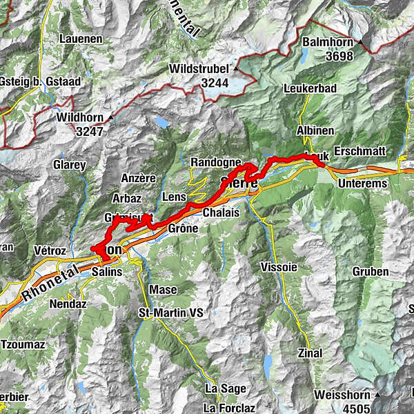
Saint-Guérin2,7 kmEglise évangélique3,9 kmSitten (515 m)5,0 kmDiolly9,1 kmDrône13,8 kmGrimseln (882 m)16,0 kmCafé de la place16,1 kmEglise St-Pancrace16,1 kmLes Fermes18,2 kmEglise de Signèse19,7 kmSignèse (Ayent)19,9 kmLormey21,8 kmSaint-Léonard (498 m)24,0 kmUnderground lake24,6 kmChelin (756 m)26,5 kmVaas27,2 kmFlanthey27,3 kmSaint-Clément27,8 kmCondémines28,2 kmValençon29,0 kmPetit-Ollon29,3 kmOllon VS29,7 kmChampzabé31,4 kmNoës32,1 kmCorin-de-la-Crête32,4 kmLoc33,9 kmVenthen (799 m)37,7 kmEglise de Miège40,0 kmMiesen (702 m)40,1 kmLe Relais Miègois40,1 kmMuzot42,3 kmVeyras (645 m)42,8 kmSiders (533 m)43,3 kmGlarey43,5 kmSalgesch (581 m)46,7 kmKirche St. Johann Baptist46,7 kmSonne46,9 kmVarensis50,4 kmVaronne50,7 kmKirche53,1 kmLeuk Stadt (731 m)53,1 kmSusten (630 m)54,8 kmLeuk (623 m)54,9 km
- Najlepszy sezon
-
stylutmarkwimajczelipsiewrzpaźlisgru
- Najwyższy punkt
- 887 m
- Miejsce docelowe
-
Leuk (train station)
- Profil wysokości
-
 © outdooractive.com

- Autor
-
Wycieczka Vineyard Trail Sion to Leuk (stage 2) jest używany przez outdooractive.com pod warunkiem.
GPS Downloads


Informacje ogólne
Przystanek odświeżania
Kulturalny/Historyczny
Wskazówka dla osób mających dostęp do poufnych informacji
Flora
Fauna
Obiecujący
Więcej wycieczek w regionach
-
Thyon les Collons
118
-
Crans - Montana
89
-
Lens
34