
- Krótki opis
-
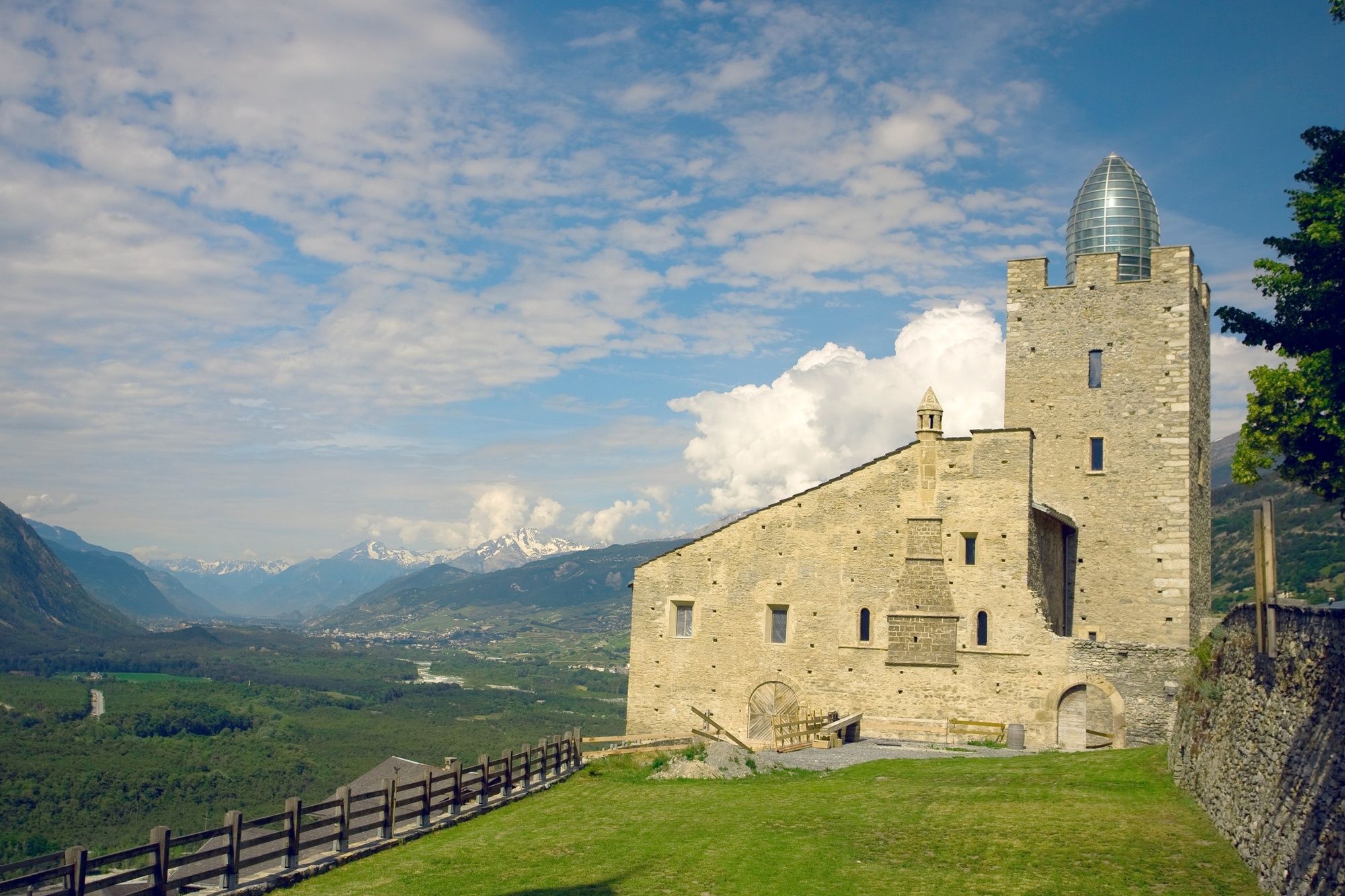
This sunny round is not only interesting from the sporting side. Sunny hamlets, sacred buildings and rustic mountain villages are part of the programme.
- Stopień trudności
-
średni
- Ocena
-
- Trasa
-
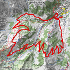
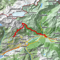
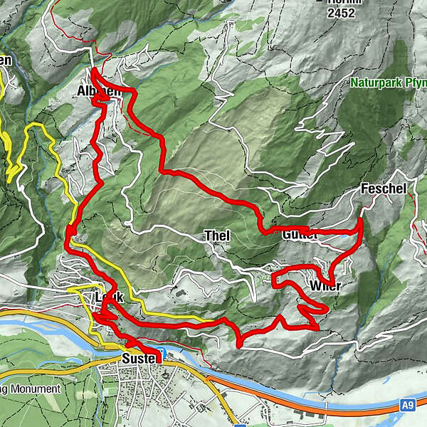
Leuk (623 m)0,1 kmSusten (630 m)0,3 kmLeuk Stadt (731 m)1,9 kmKirche1,9 kmBrunnen6,1 kmGrächmatten7,2 kmWiler8,0 kmFeschel9,1 kmGuttet10,1 kmThel11,4 kmSunnublick14,7 kmGodswärgjistubu15,0 kmPfarrkirche Heiliger Bruder Klaus15,0 kmAlbinen (1.300 m)15,0 kmKirche19,0 kmLeuk Stadt (731 m)19,1 kmSusten (630 m)20,7 kmLeuk (623 m)20,8 km
- Najlepszy sezon
-
stylutmarkwimajczelipsiewrzpaźlisgru
- Najwyższy punkt
- 1.462 m
- Miejsce docelowe
-
Susten/Leuk
- Profil wysokości
-
 © outdooractive.com


- Autor
-
Wycieczka Sunnubärga Loop jest używany przez outdooractive.com pod warunkiem.
GPS Downloads


Informacje ogólne
Przystanek odświeżania
Kulturalny/Historyczny
Flora
Fauna
Obiecujący
Więcej wycieczek w regionach
-
Oberwallis
210
-
Leuk/Leukerbad
122
-
Agarn
37