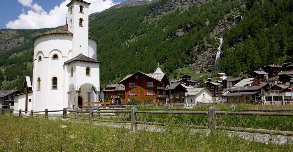
© Saastal Marketing
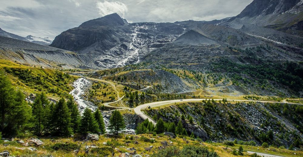
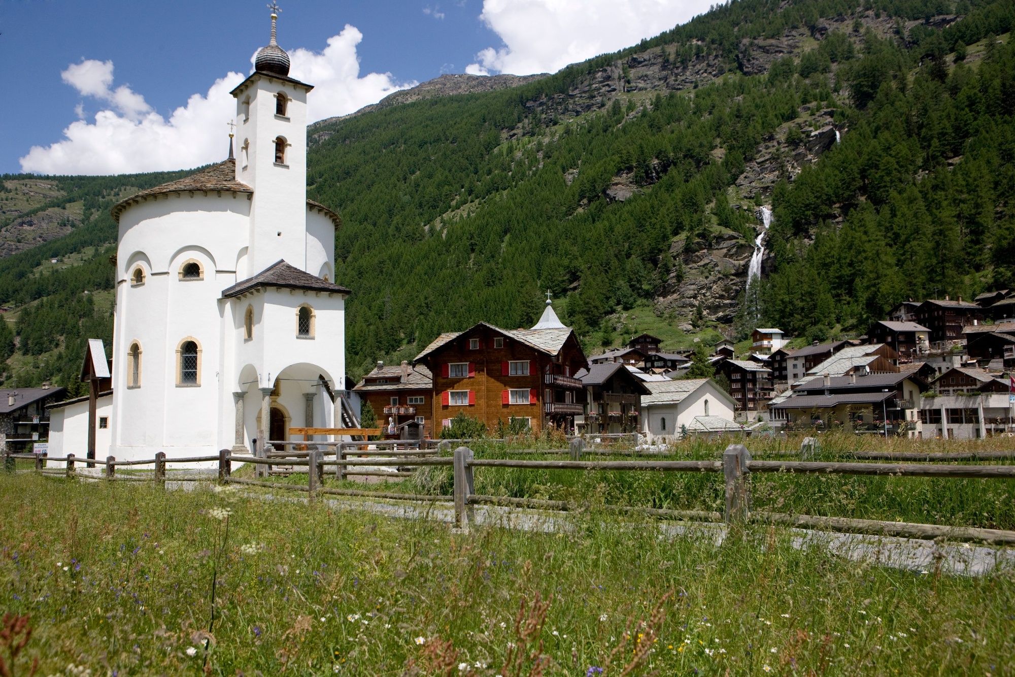
© Valais/Wallis Promotion - Christian Pfammatter
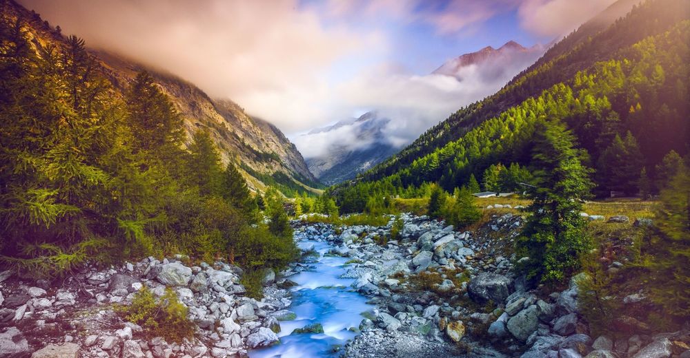
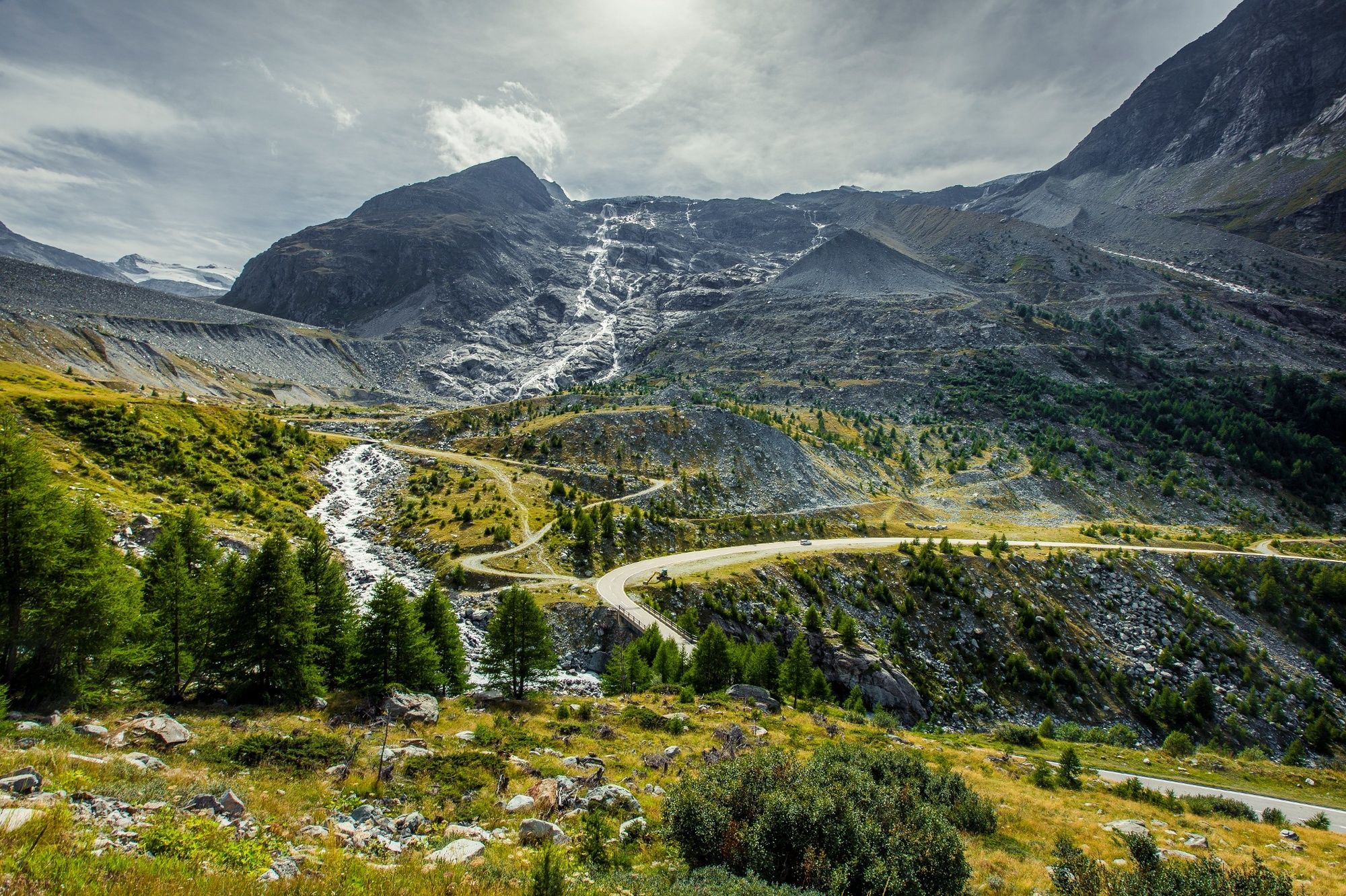
© Valais/Wallis Promotion - Christian Pfammatter
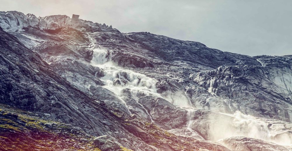
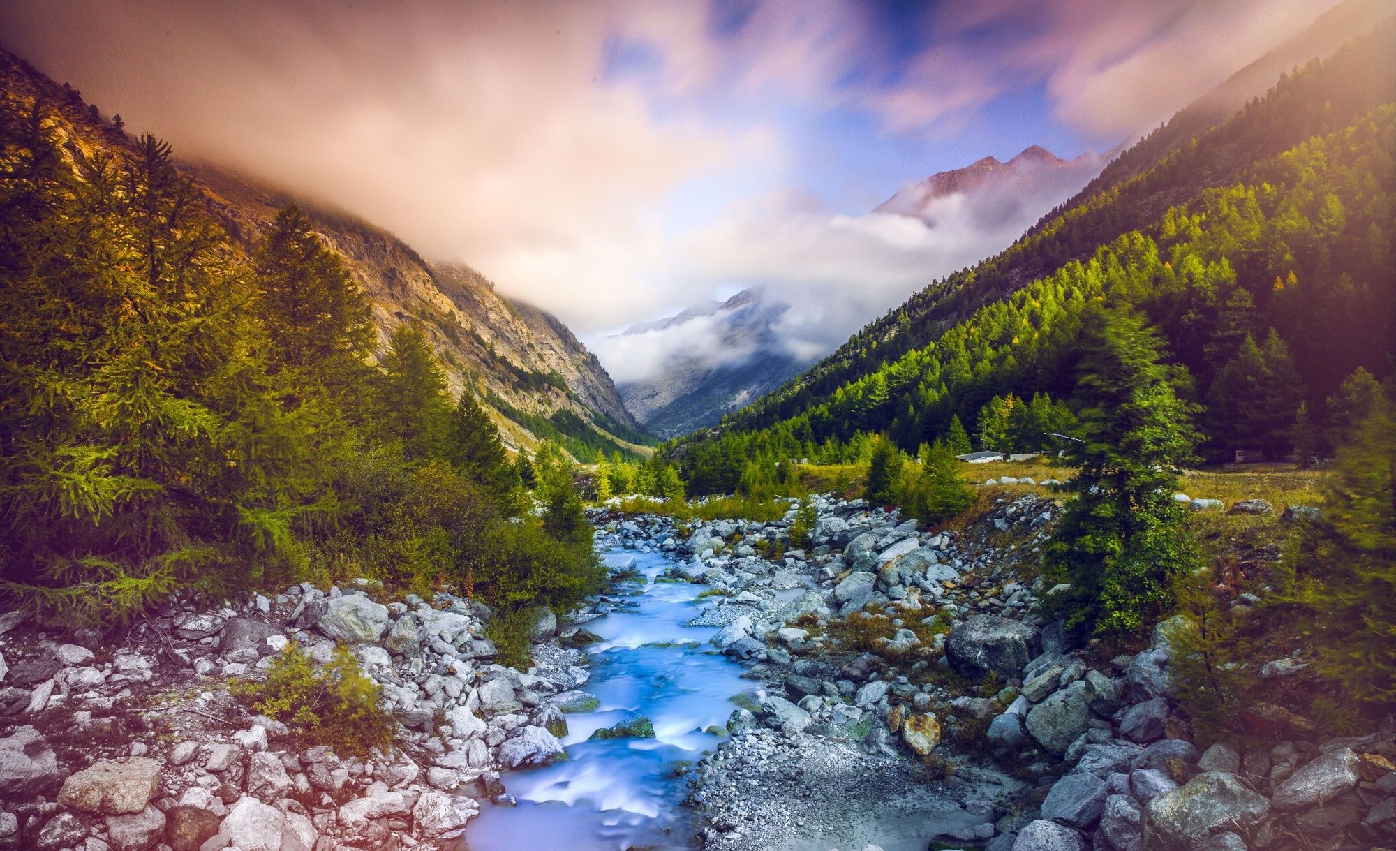
© Valais/Wallis Promotion - Christian Pfammatter

- Krótki opis
-
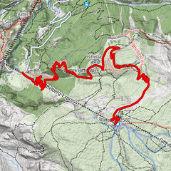
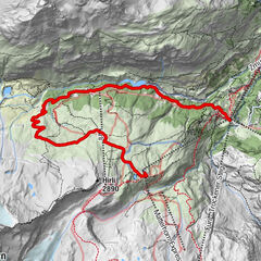
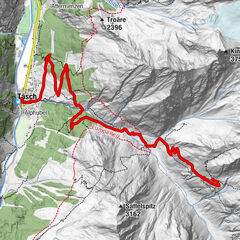
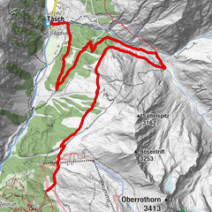
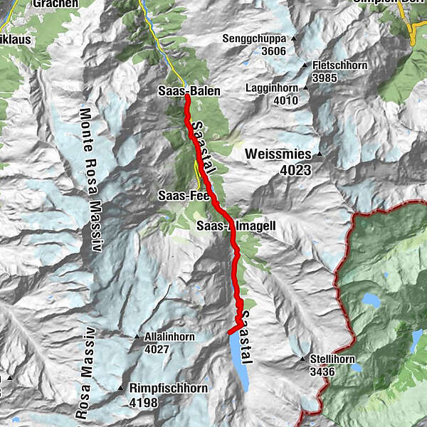
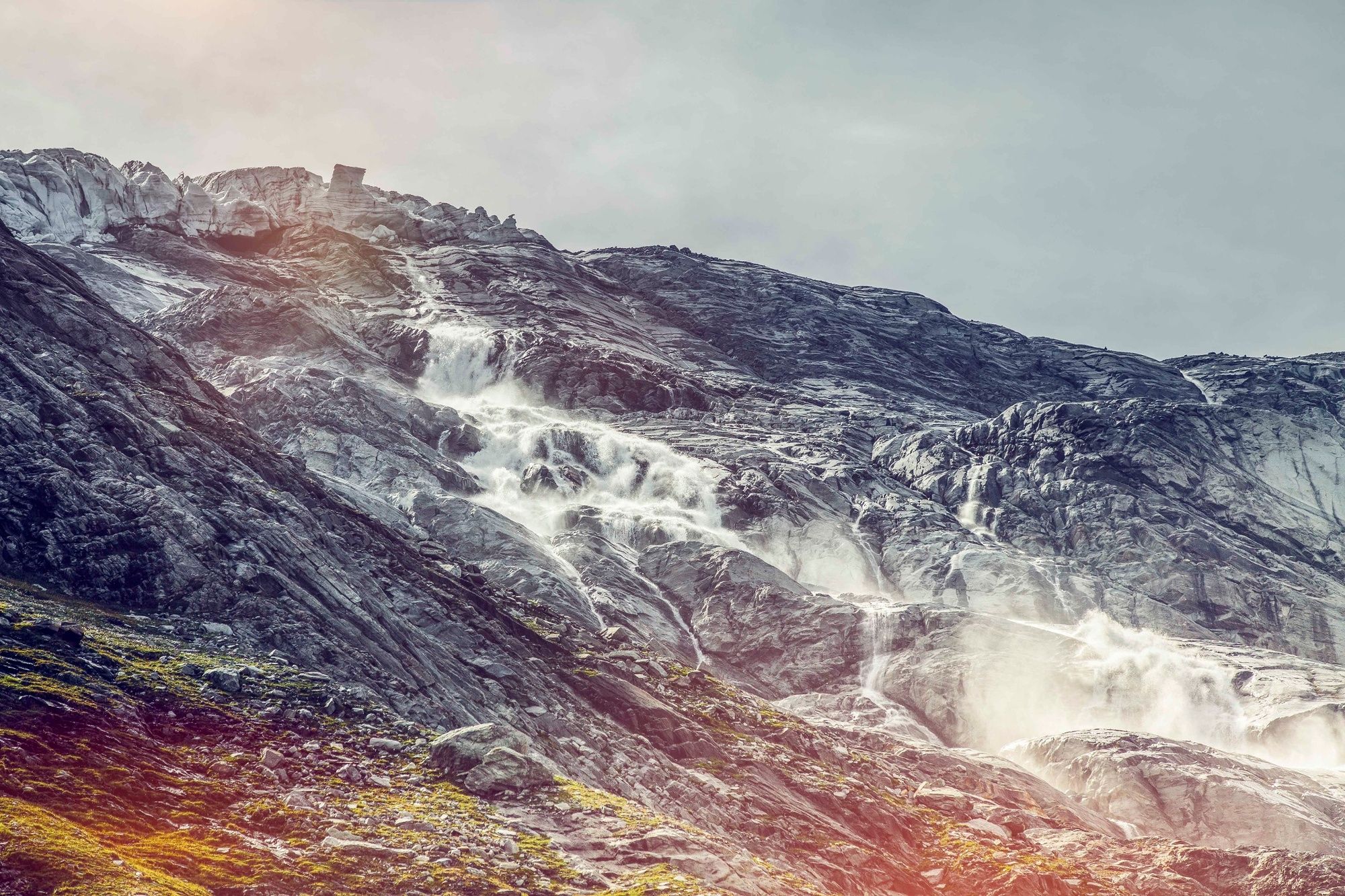
From Saas-Balen, this route takes you into the Saas Valley to the summit of the Mattmark dam, offering a wide variety of difficulty levels, landscapes and nature.
- Stopień trudności
-
średni
- Ocena
-
- Trasa
-
HollerbielDorfSaas-BalenLehnSaas-Grund3,0 kmBodmen5,4 kmSaas-Almagell7,9 km
- Najlepszy sezon
-
stylutmarkwimajczelipsiewrzpaźlisgru
- Najwyższy punkt
- 2.204 m
- Miejsce docelowe
-
Mattmark dam
- Profil wysokości
-
 © outdooractive.com
- Autor
-
Wycieczka Saas Valley Trail jest używany przez outdooractive.com pod warunkiem.
GPS Downloads


Informacje ogólne
Przystanek odświeżania
Flora
Obiecujący
Więcej wycieczek w regionach
-
Oberwallis
211
-
Saastal
67
-
Saas-Almagell
6