© Bikeschule Zermatt - Zermatt Tourismus
© Nik Wicki - Zermatt Tourismus

- Krótki opis
-
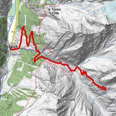
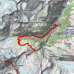
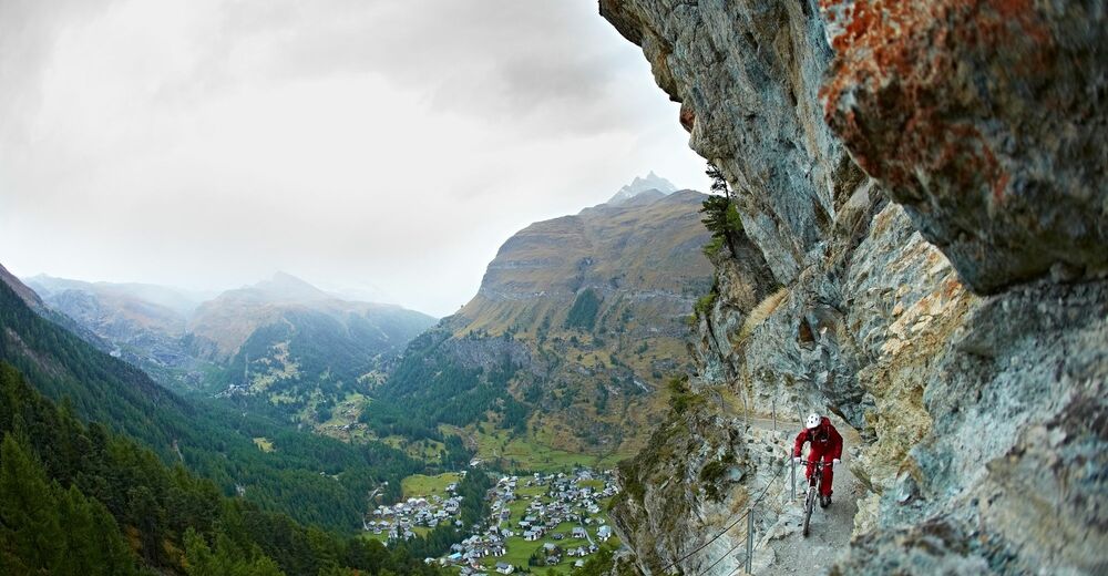
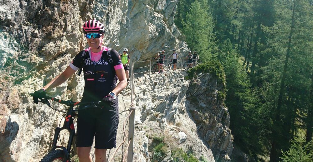
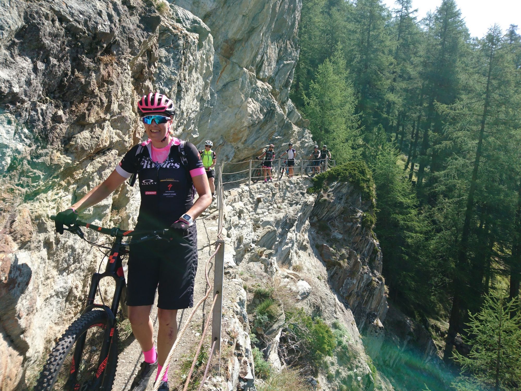
The majority of this route is not technically challenging, but you need a head for heights.
- Stopień trudności
-
średni
- Ocena
-
- Trasa
-
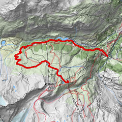
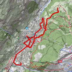
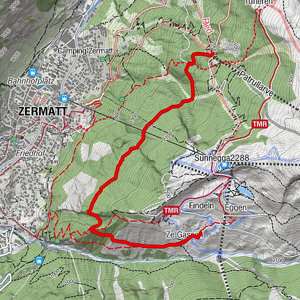
Ze Gassen (2.051 m)0,2 kmZermatt (1.608 m)1,9 kmPatrullarve (1.993 m)3,3 km
- Najlepszy sezon
-
stylutmarkwimajczelipsiewrzpaźlisgru
- Najwyższy punkt
- 2.087 m
- Miejsce docelowe
-
Patrullarve (2,000 m)
- Profil wysokości
-
 © outdooractive.com

- Autor
-
Wycieczka Oberer Höhenweg Bike Tour (Nr. 30) jest używany przez outdooractive.com pod warunkiem.
GPS Downloads


Informacje ogólne
Przystanek odświeżania
Flora
Fauna
Obiecujący
Więcej wycieczek w regionach
-
Oberwallis
211
-
Mattertal
62
-
Zermatt
35