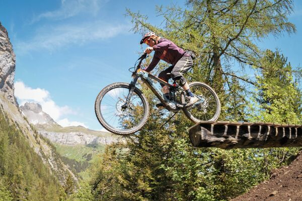
© Crans-Montana Tourisme & Congrès - Corentin Theurillat

© Crans-Montana Tourisme & Congrès - Chételat Dylan

© Crans-Montana Tourisme & Congrès - Corentin Theurillat

- Krótki opis
-
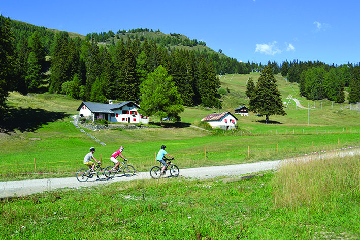
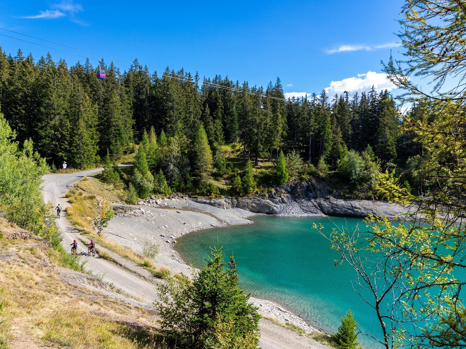
This ride, which takes you from the resort to the surrounding pastures, is a last test before you tackle the more difficult routes. It is a mix of all kind of terrains: asphalt, beaten earth and paths.
- Stopień trudności
-
średni
- Ocena
-
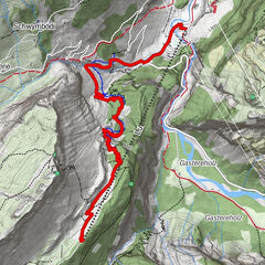
- Trasa
-
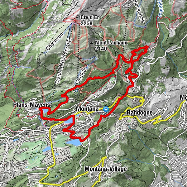
Crans (1.476 m)0,8 kmMontana (1.495 m)1,2 kmPlans-Mayens2,6 kmLe Tsaumiau9,0 kmZaumiau9,5 kmLa Comba10,1 kmClairmont10,2 kmOrzière10,4 kmMontana (1.495 m)11,0 km
- Najwyższy punkt
- 1.758 m
- Miejsce docelowe
-
Lac de la Moubra, Route de la Moubra
- Profil wysokości
-
 © outdooractive.com
- Autor
-
Wycieczka Courtavey Bike jest używany przez outdooractive.com pod warunkiem.
GPS Downloads


Więcej wycieczek w regionach
-
Thyon les Collons
182
-
Crans - Montana
129
-
Sierre
41