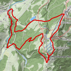
Dane wycieczki
6,2km
1.130
- 1.283m
163hm
02:30h

- Krótki opis
-
ca. 3 Stunden - mittlere Wanderung
- Ocena
-
- Punkt wyjścia
-
Parkplatz vom Almhotel Hochhäderich
- Trasa
-
Alpengasthof zur Hochwies1,3 kmSchmalzhütte1,8 kmBerggasthof Hochbühl2,6 kmAlpe Glutschwanden4,1 kmAlpstüble Moos5,2 km
- Najwyższy punkt
- 1.283 m
- Odpoczynek/Odosobnienie
-
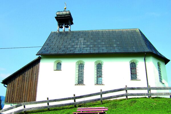
Alpe Hochwies, Gasthof Hochbühl, Alpstüble Moos, Almhotel Hochhäderich (Cafe-Restaurant mit Erlebnis-Spielplatz)
- Mapy
-
Almhotel Hochhäderich - Tel. 05513-8254-0 Gratis Wanderbroschüre "Erlebnis-Berge" oder diverse Karten zum Kaufen
GPS Downloads


Warunki na szlaku
Asfalt
Żwir
Łąka
Las
Skała
Wyeksponowany
Więcej wycieczek w regionach
-
Allgäu
2367
-
Bregenzerwald
2296
-
Riefensberg
703