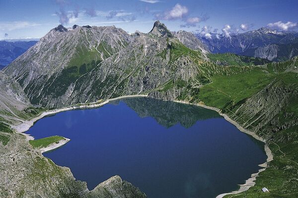
© Montafon

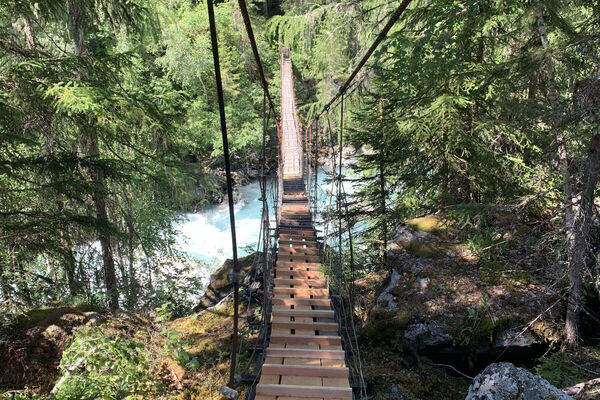
© Silvretta Historica; Montafon Tourismus GmbH - Julia Mangeng

© Silvretta Historica; Stand Montafon - Julia Mangeng

© Silvretta Historica; Stand Montafon - Julia Mangeng

- Krótki opis
-
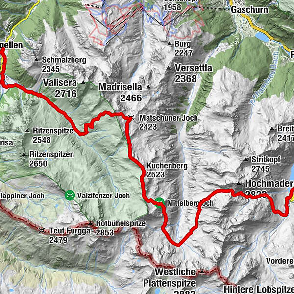
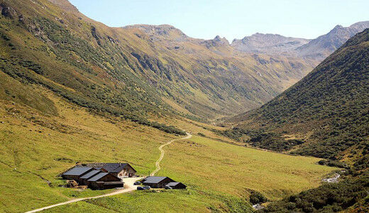
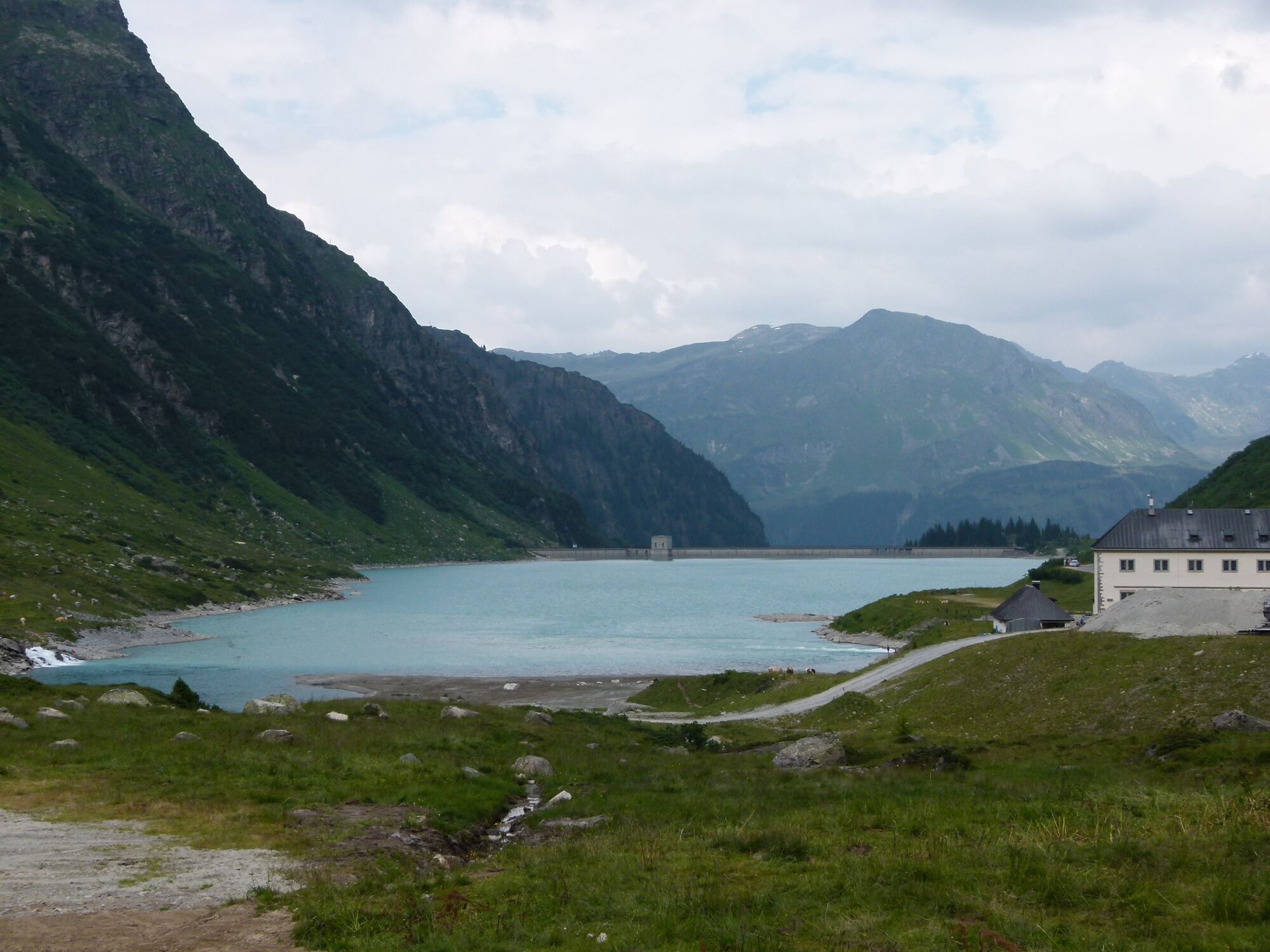
Vermuntsee - Hochmadererjoch - Tübinger Hütte - Vergaldaalpe - Vergaldatal - Zentrum Gargellen
- Stopień trudności
-
ciężkie
- Ocena
-
- Trasa
-
Tübinger Hütte6,8 kmVergaldner Joch (2.515 m)10,0 kmVorderberg (2.553 m)10,5 kmKuchenberg (2.523 m)11,2 kmMatschuner Joch (2.423 m)13,2 kmHeimbühel Joch13,9 kmVergalda20,1 kmBarga20,4 kmGargellner Stoba21,4 kmGargellen21,5 kmKuratienkirche Hl. Maria Magdalena21,6 km
- Najlepszy sezon
-
stylutmarkwimajczelipsiewrzpaźlisgru
- Najwyższy punkt
- 2.525 m
- Miejsce docelowe
-
Zentrum Gargellen
- Profil wysokości
-


-

-
AutorWycieczka Vom Vermuntstausee nach Gargellen jest używany przez outdooractive.com pod warunkiem.
GPS Downloads


Więcej wycieczek w regionach
-
Montafon
1382
-
Gargellen im Montafon
352