

© Alpenregion Bludenz Tourismus GmbH - Melanie Fleisch

© Alpenregion Bludenz Tourismus GmbH - Melanie Fleisch

© Alpenregion Bludenz Tourismus GmbH - Melanie Fleisch

© Alpenregion Bludenz Tourismus GmbH - Melanie Fleisch

© Alpenregion Bludenz Tourismus GmbH - Melanie Fleisch

© Alpenregion Bludenz Tourismus GmbH - Melanie Fleisch

© Alpenregion Bludenz Tourismus GmbH - Melanie Fleisch

© Alpenregion Bludenz Tourismus GmbH - Melanie Fleisch

© Alpenregion Bludenz Tourismus GmbH - Melanie Fleisch

© Vorarlberg Tourismus GmbH

- Krótki opis
-
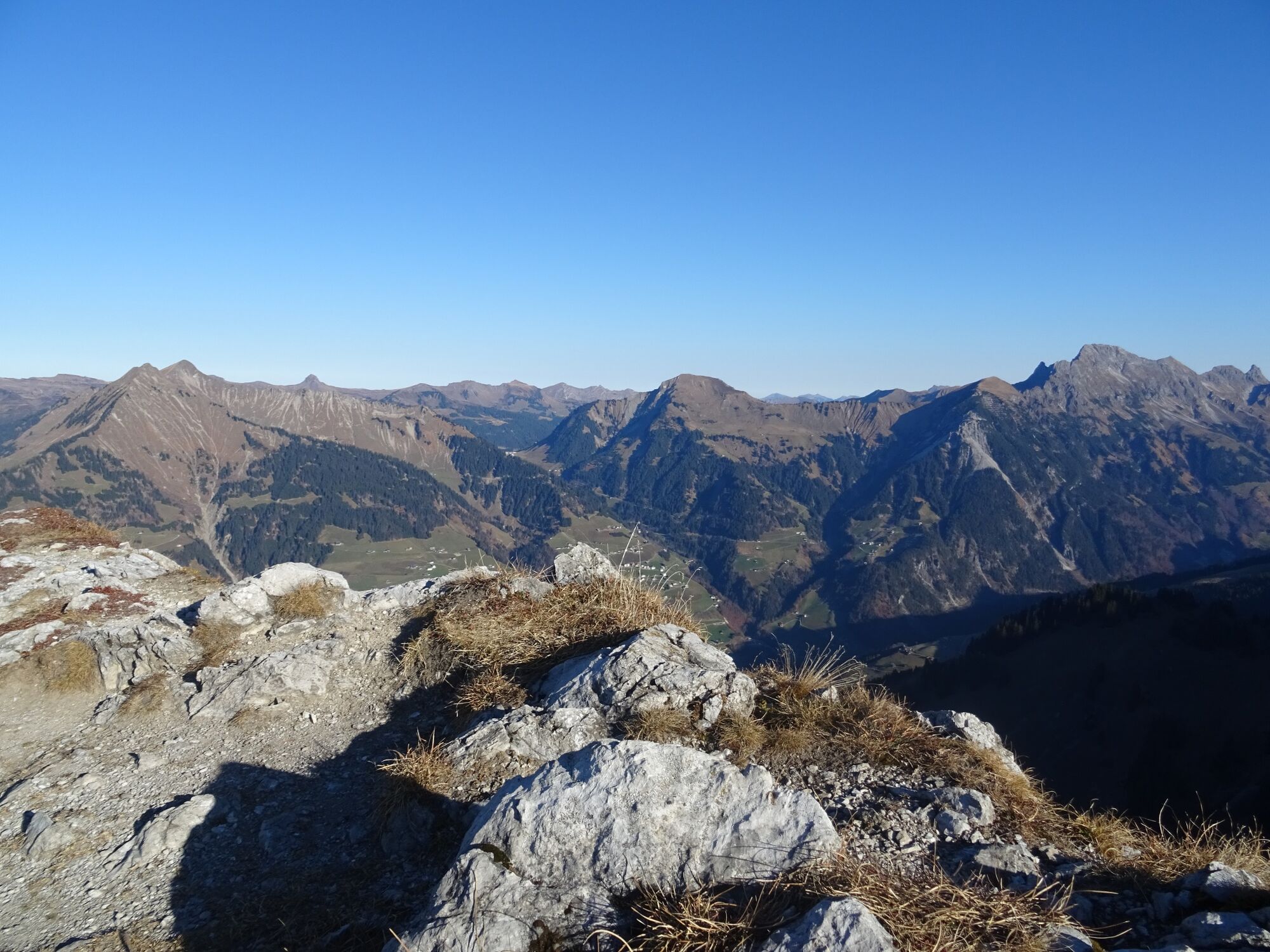
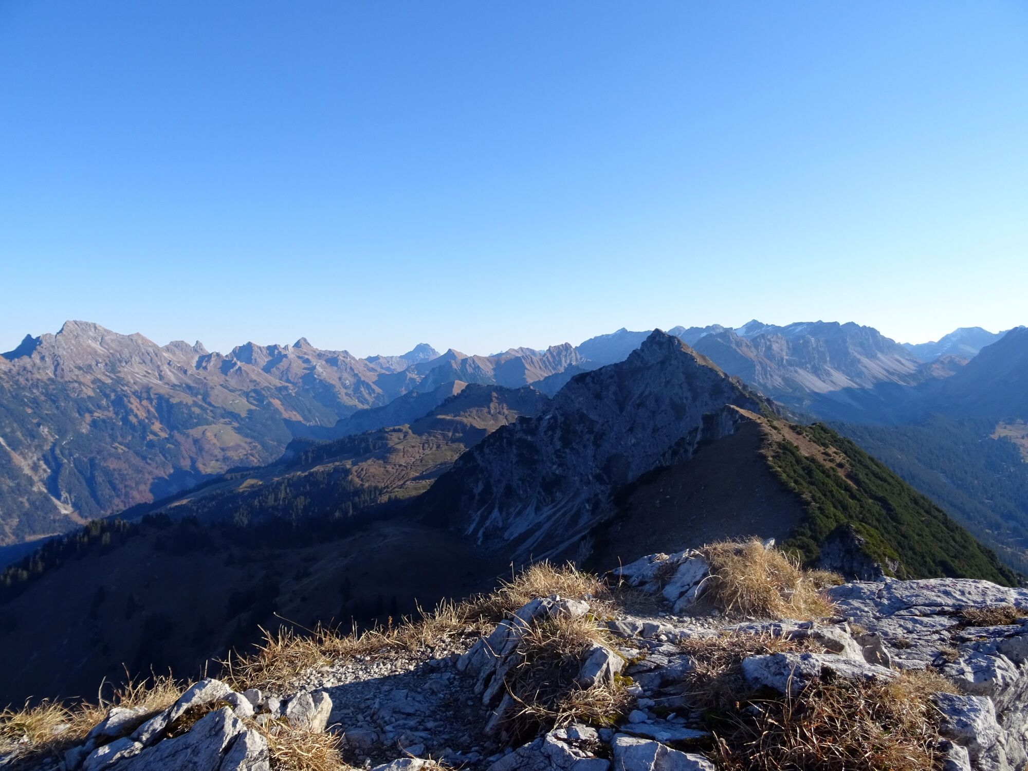
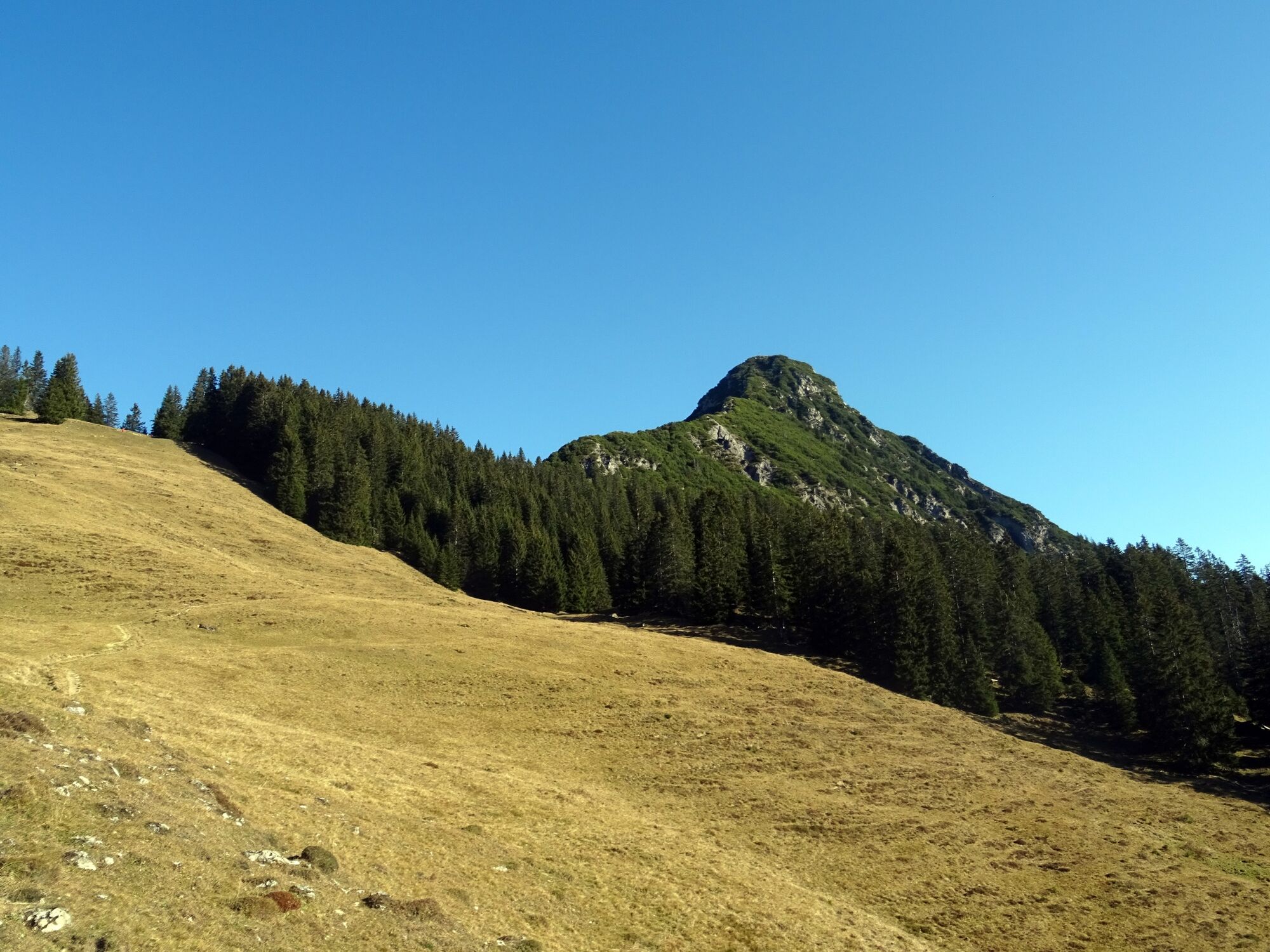
Beautiful mountain tour with partly somewhat exposed and rope-secured sections to the summit of the Kellaspitze with a fabulous panoramic view.
- Stopień trudności
-
ciężkie
- Ocena
-
- Trasa
-
St. Katharina0,1 kmGasthaus Walserklause Marul0,3 kmMarul0,4 kmStafelfederalpe2,8 kmKellaspitze (2.017 m)4,8 kmStafelfederalpe6,8 kmMarul9,2 kmGasthaus Walserklause Marul9,3 kmSt. Katharina9,5 km
- Najlepszy sezon
-
stylutmarkwimajczelipsiewrzpaźlisgru
- Najwyższy punkt
- 1.997 m
- Miejsce docelowe
-
Hikers' car park Marul, Raggal
- Profil wysokości
-


- Autor
-
Wycieczka Kellaspitze, 2.017 m | Raggal-Marul jest używany przez outdooractive.com pod warunkiem.
GPS Downloads


Informacje ogólne
Obiecujący
Więcej wycieczek w regionach


