© Lech Zürs Tourismus GmbH - Lech Zuers Tourismus GmbH

© DAV-Sektion Schwaben - Lech Zuers Tourismus GmbH
- Krótki opis
-
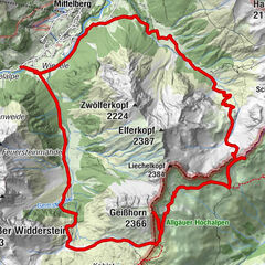
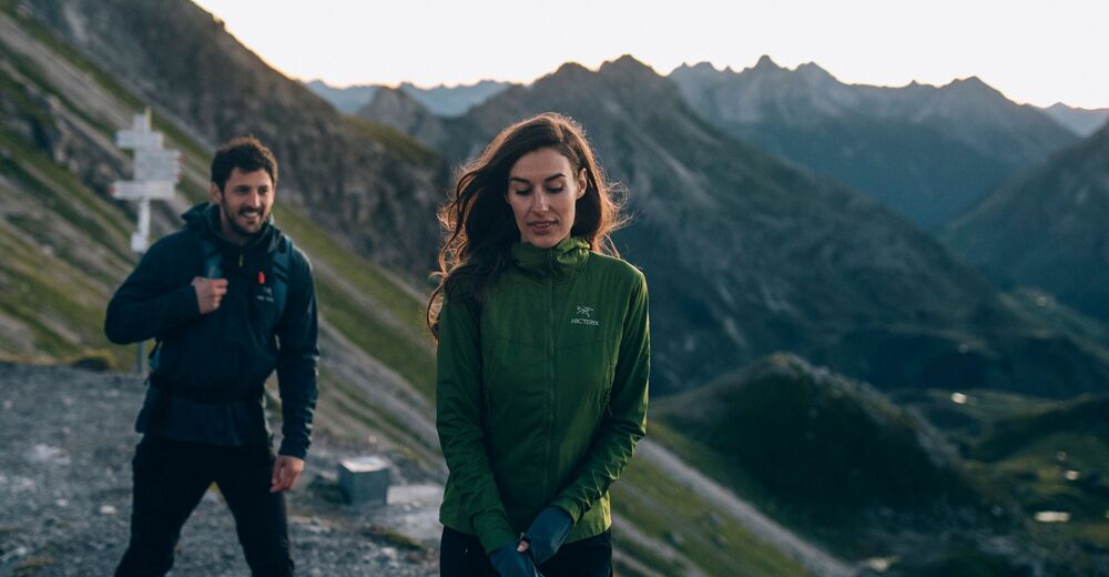
This very easy mountain hike leads you through untouched valley basins and across mountain crests with beautiful views.
- Stopień trudności
-
średni
- Ocena
-
- Trasa
-
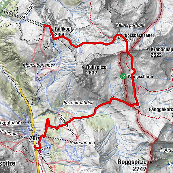
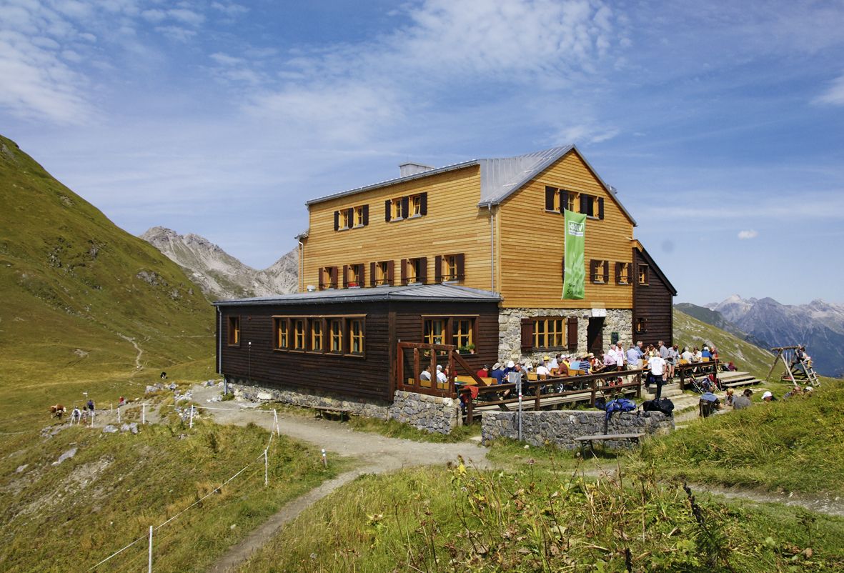
Panoramarestaurant RüfikopfRüfikopf (2.360 m)0,2 kmBockbachsattel (2.310 m)2,9 kmKrabachjoch (2.300 m)5,3 kmTritt-Alpe8,3 kmTrittalpe8,4 kmZürs (1.717 m)9,8 kmBergkirche Zürs10,0 kmArlberghaus - Walserstube10,2 km
- Najlepszy sezon
-
stylutmarkwimajczelipsiewrzpaźlisgru
- Najwyższy punkt
- 2.408 m
- Miejsce docelowe
-
Zürs am Arlberg
- Profil wysokości
-

-

-
AutorWycieczka Stuttgarter hut jest używany przez outdooractive.com pod warunkiem.
GPS Downloads


Informacje ogólne
Przystanek odświeżania
Obiecujący
Więcej wycieczek w regionach
-
Arlberg
1719
-
Lech - Zürs am Arlberg
512