

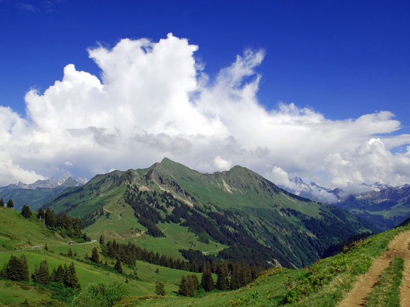
© Damüls - Faschina Tourismus - Matthias Greilach

- Krótki opis
-
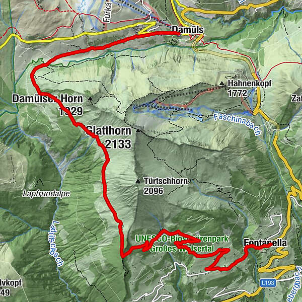
Damüls - Alpe Unterdamüls - Hintertürtschalpe - Türtschalpe - Mittelberg -Fontanella
- Stopień trudności
-
średni
- Ocena
-
- Trasa
-
Damüls (1.423 m)Alpe Unterdamüls2,7 kmTürtschalpe (1.641 m)6,2 kmMittelberg10,6 kmPfarrkirche Hl. Sebastian12,1 kmFontanella (1.145 m)12,1 km
- Najlepszy sezon
-
stylutmarkwimajczelipsiewrzpaźlisgru
- Najwyższy punkt
- 1.703 m
- Miejsce docelowe
-
Fontanella
- Profil wysokości
-

- Autor
-
Wycieczka Damüls-Faschina | Rund um's Glatthorn jest używany przez outdooractive.com pod warunkiem.
GPS Downloads


Informacje ogólne
Przystanek odświeżania
Obiecujący
Więcej wycieczek w regionach


