

© Kleinwalsertal Tourismus eGen

© Kleinwalsertal Tourismus eGen

© Kleinwalsertal Tourismus eGen

© Kleinwalsertal - Kleinwalsertal Tourismus eGen

© Kleinwalsertal Tourismus eGen

© Kleinwalsertal Tourismus eGen

© Kleinwalsertal - Kleinwalsertal Tourismus eGen

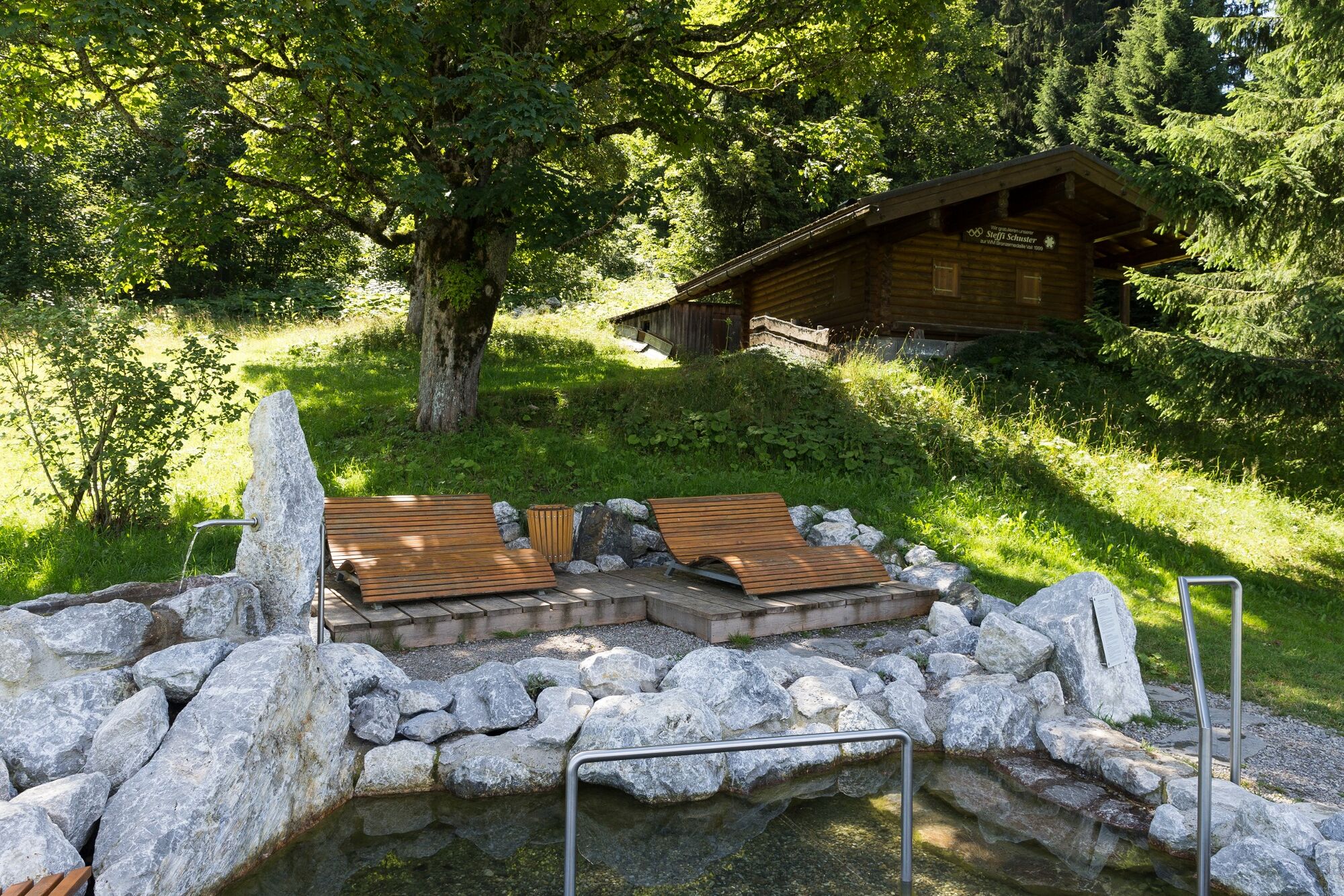
© Kleinwalsertal Tourismus eGen | Fotograf @Oliver Farys

- Krótki opis
-
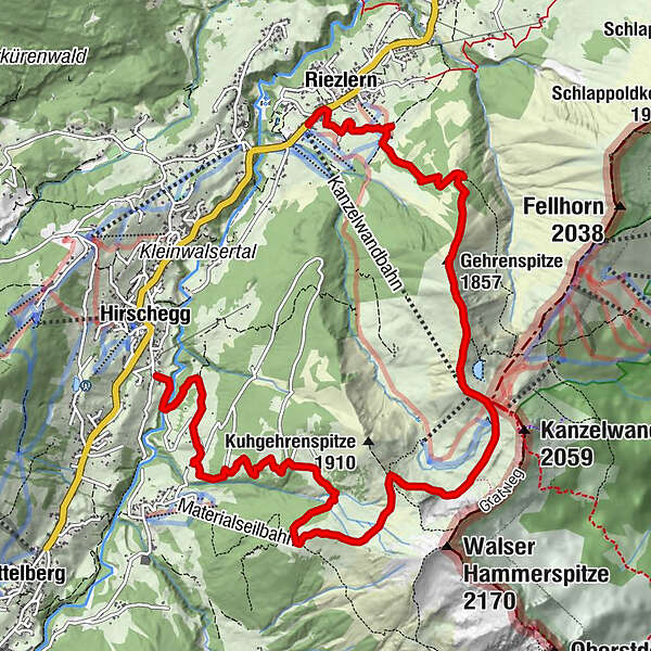
Crisp mountain hike from the Riezler Alpe to the Gehrenspitze and the Kanzelwandbahn. The reward is already waiting, great views of the Kleinwalsertal and the Allgäu.
- Stopień trudności
-
ciężkie
- Ocena
-
- Trasa
-
Riezlern (1.086 m)0,2 kmRiezleralpe2,3 kmGehrenspitze (1.857 m)3,2 kmRote Wand3,9 kmPanoramarestaurant (1.956 m)4,2 kmInnere Kuhgehrenalpe7,2 kmÄußere Kuhgehrenalpe8,0 kmBrand-Alpe9,2 kmNebenwasser10,8 kmHirschegg (1.122 m)11,4 kmDürenboden11,4 km
- Najlepszy sezon
-
stylutmarkwimajczelipsiewrzpaźlisgru
- Najwyższy punkt
- 1.955 m
- Miejsce docelowe
-
Riezlern
- Profil wysokości
-


- Autor
-
Wycieczka Via the Riezler Alpe to the Kanzelwandbahn jest używany przez outdooractive.com pod warunkiem.
GPS Downloads


Informacje ogólne
Przystanek odświeżania
Flora
Fauna
Obiecujący
Więcej wycieczek w regionach


