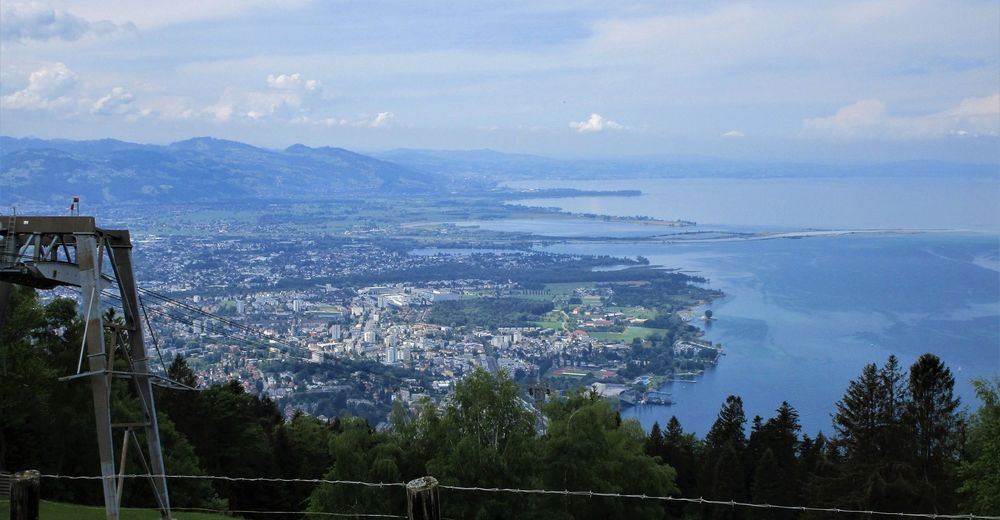
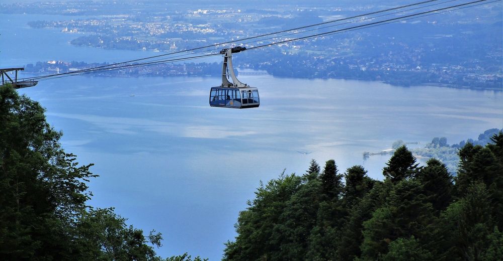
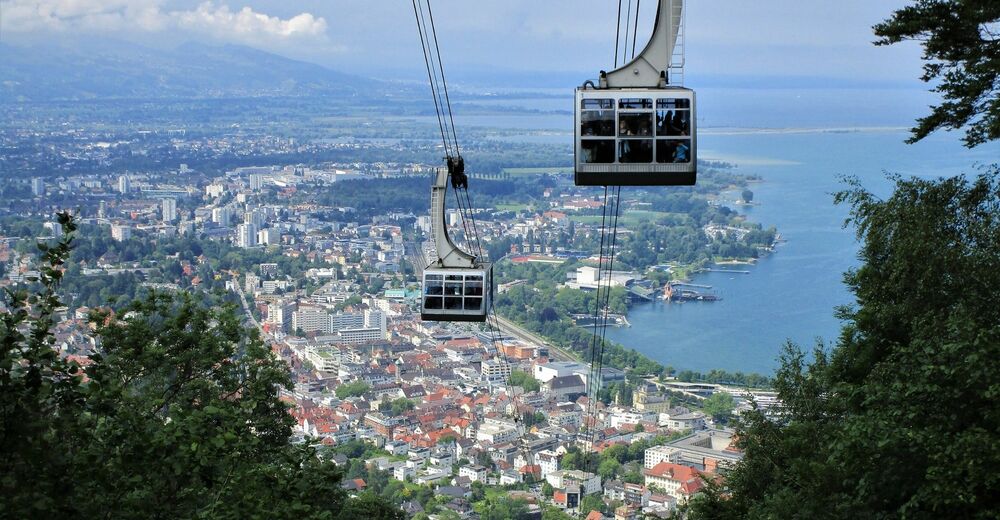
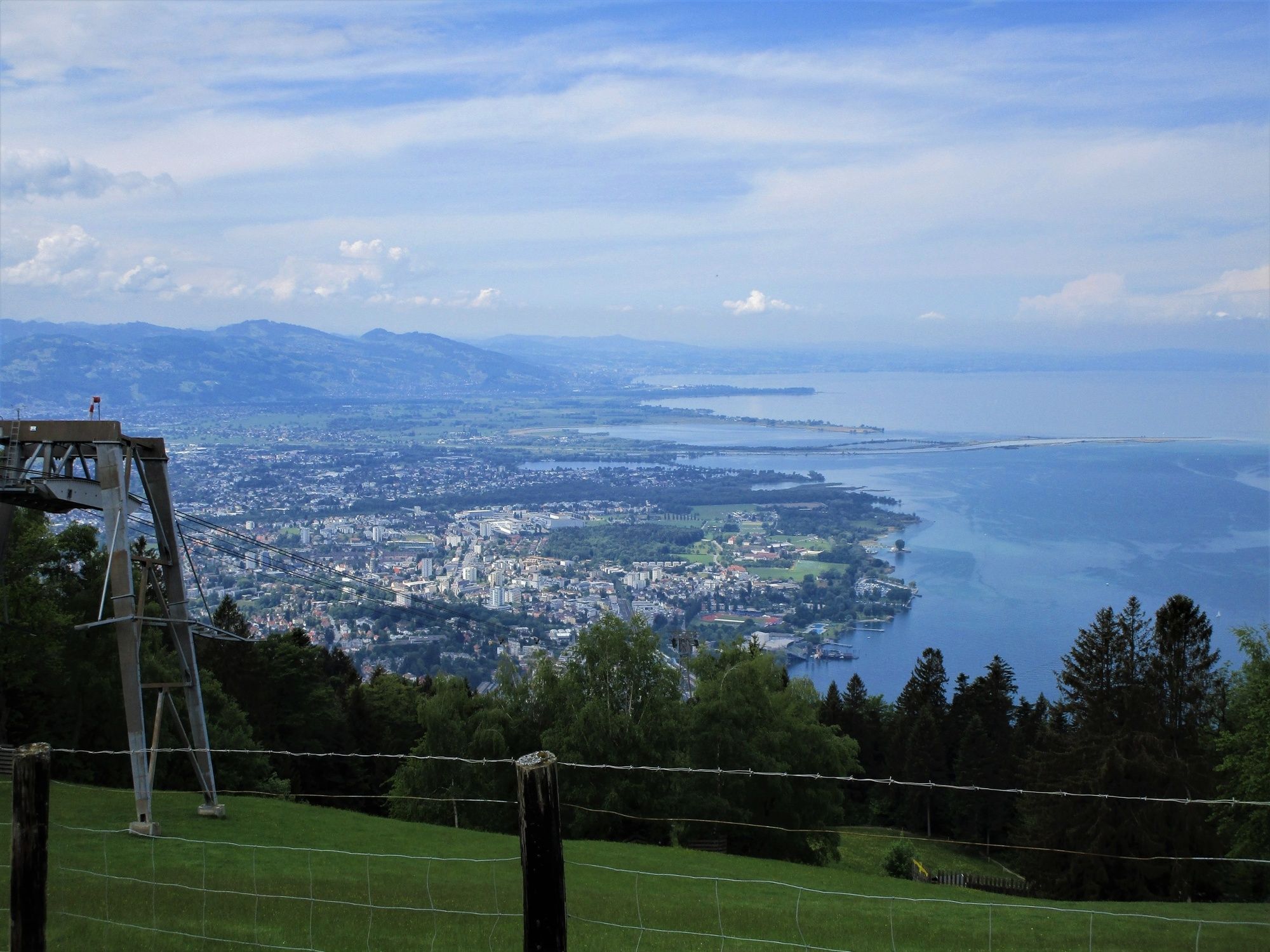
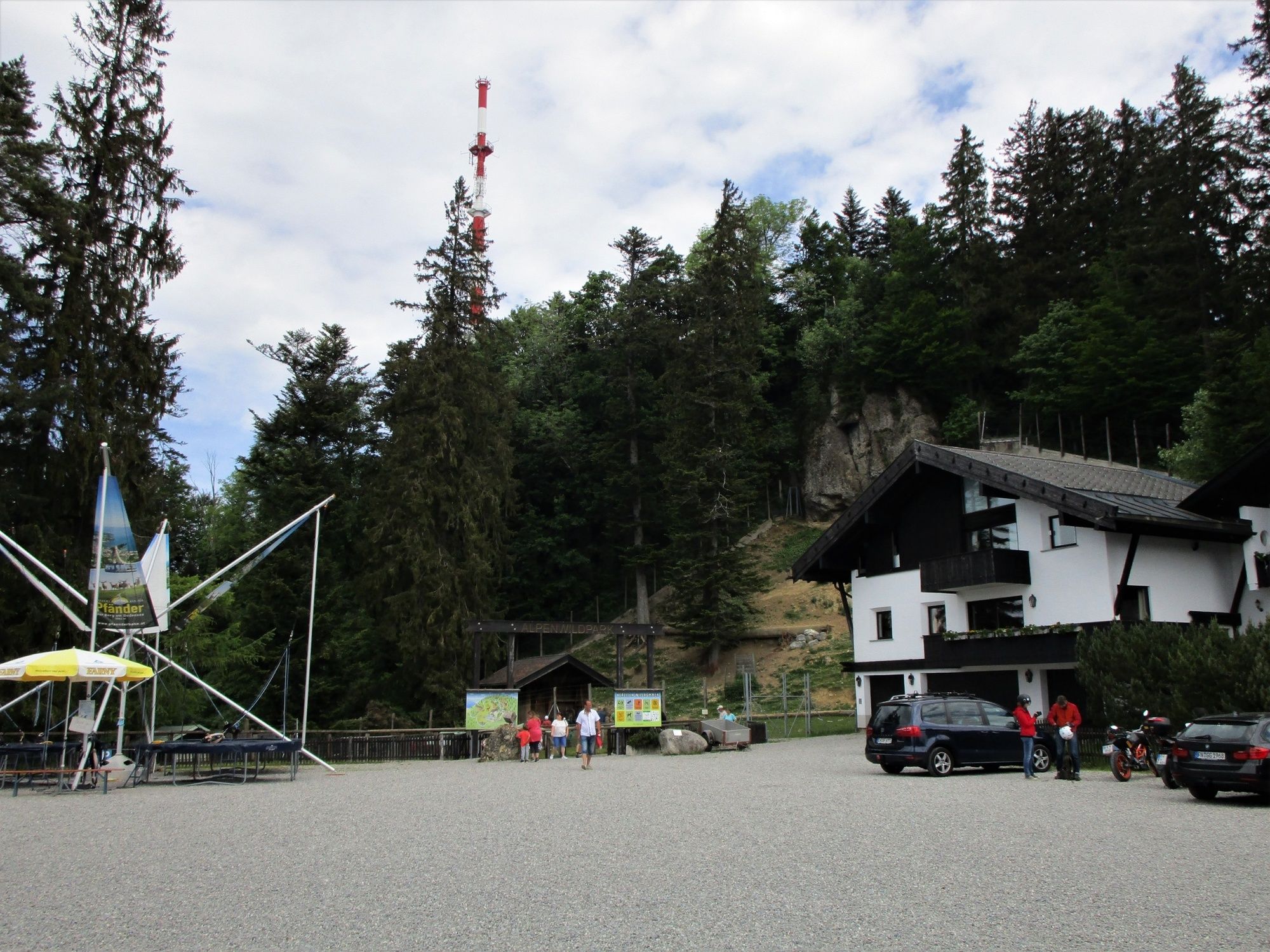
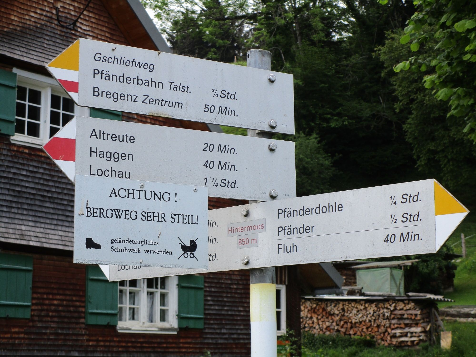
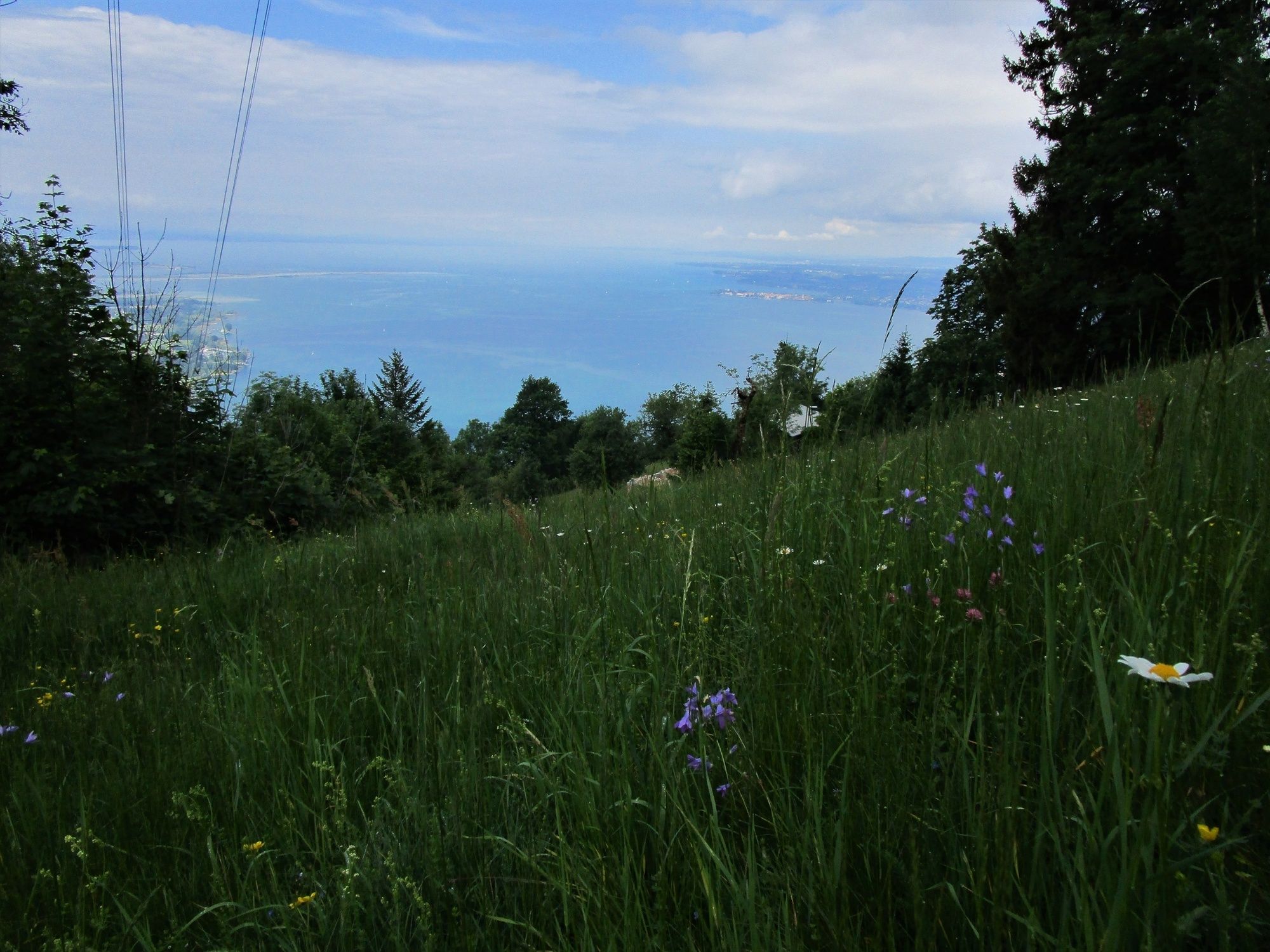
Sportliche Talwanderung: Pfänderbahn - über Gschliefweg - Bregenz

Wędrówka

© Bodensee-Vorarlberg Tourismus GmbH - Erich Zucchali / www.guideservice.at
© Erich Zucalli / www.guideservice.at - Erich Zucalli
© Erich Zucalli / www.guideservice.at - Erich Zucalli
© Erich Zucalli / www.guideservice.at - Erich Zucalli
© Erich Zucalli / www.guideservice.at - Erich Zucalli
© Erich Zucalli / www.guideservice.at - Erich Zucalli
© Erich Zucalli / www.guideservice.at - Erich Zucalli
© Erich Zucalli / www.guideservice.at - Erich Zucalli
© Erich Zucalli / www.guideservice.at - Erich Zucalli
© Erich Zucalli / www.guideservice.at - Erich Zucalli

- Krótki opis
-
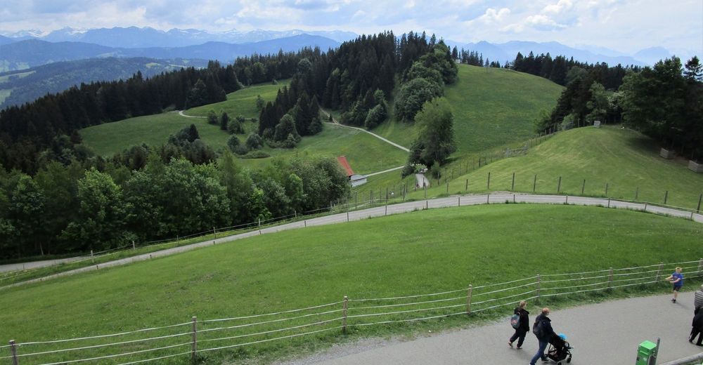
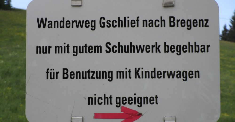
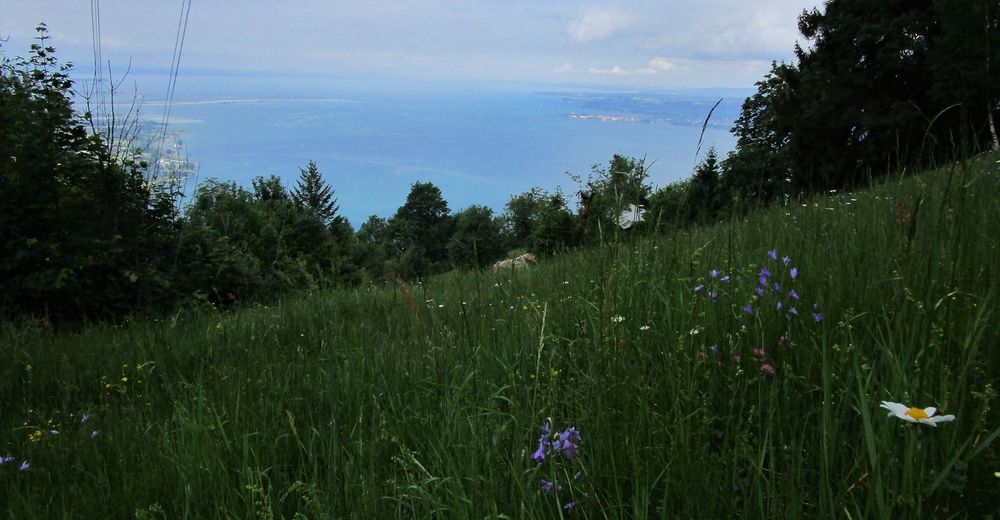
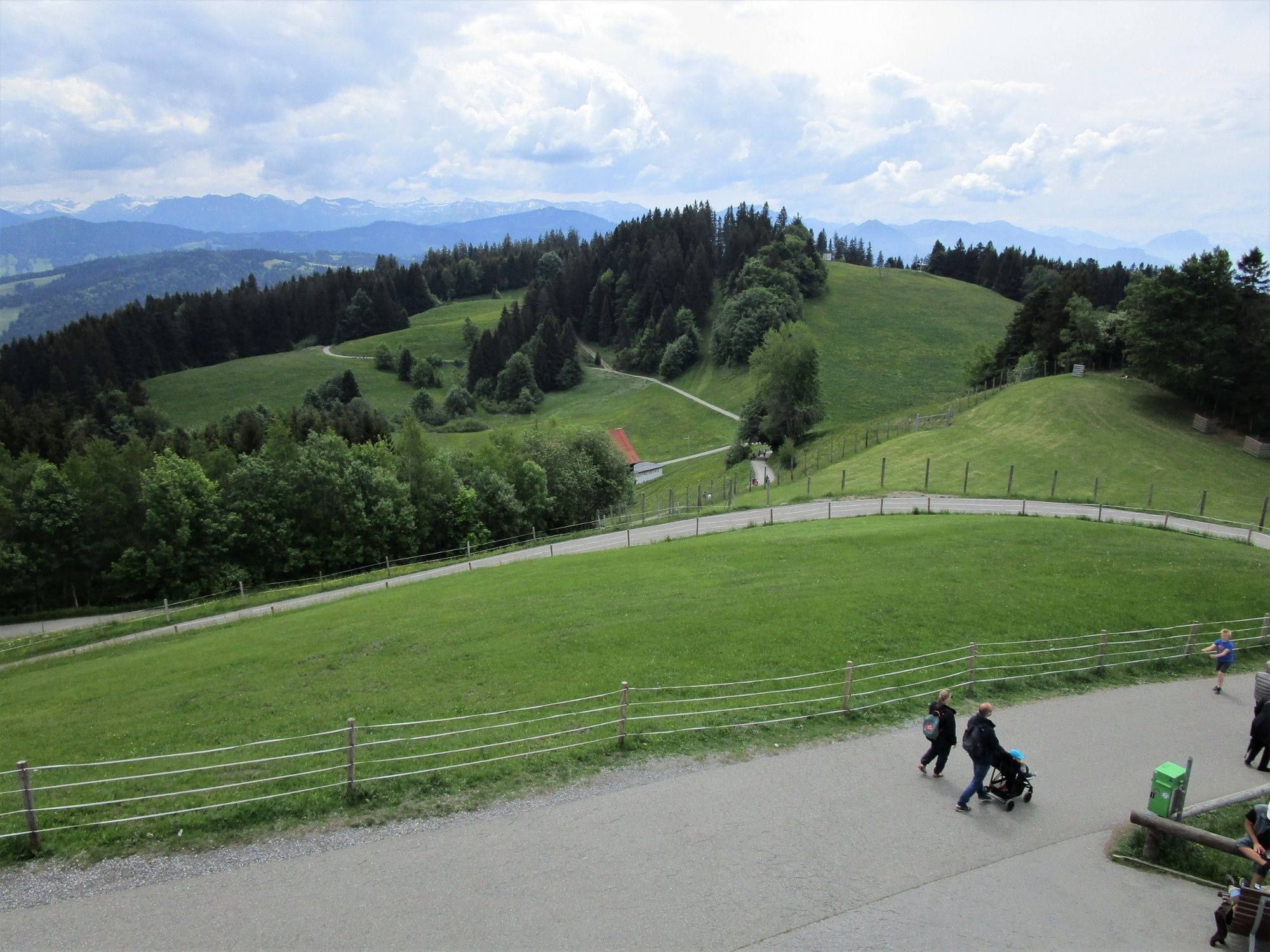
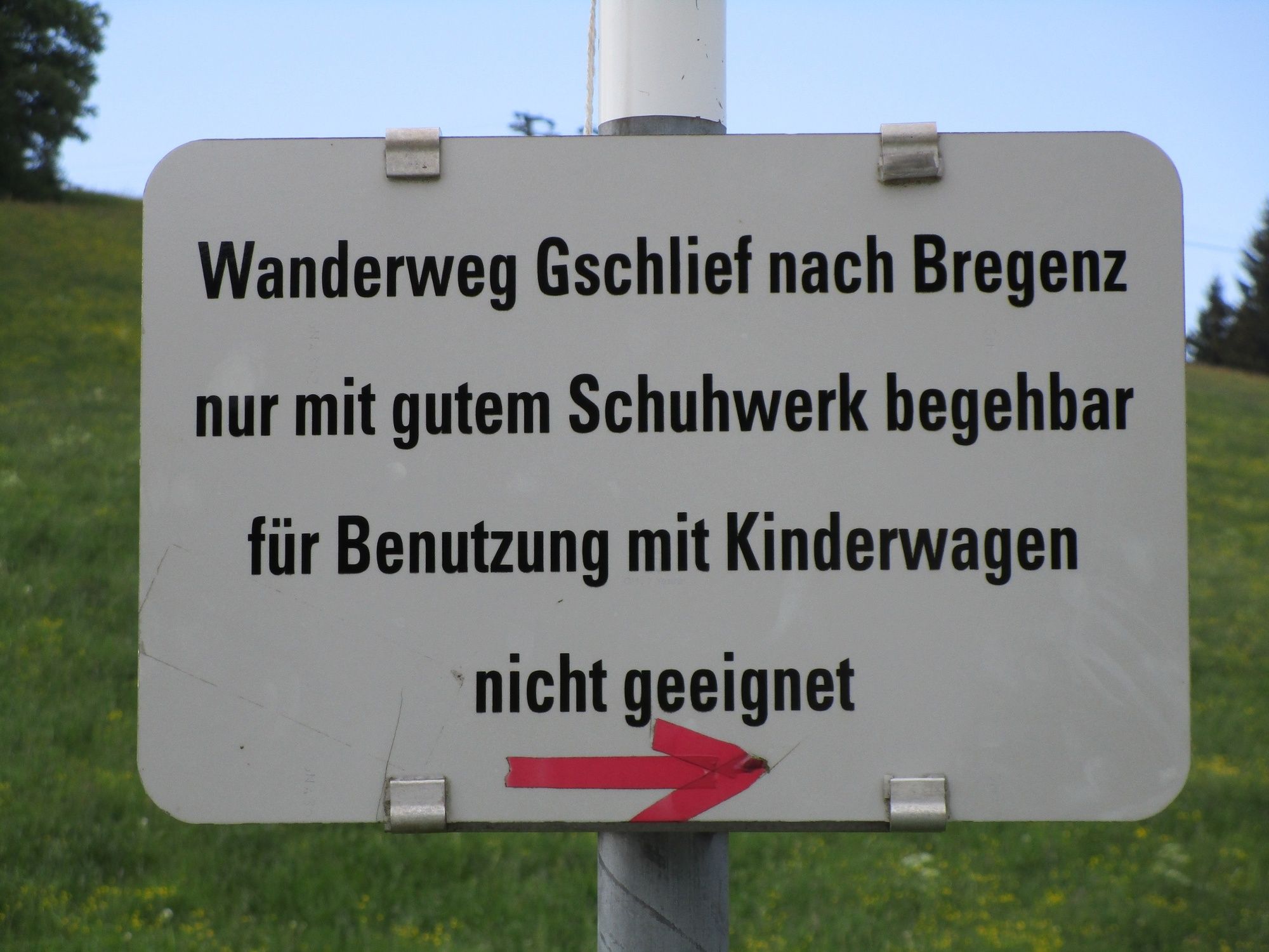
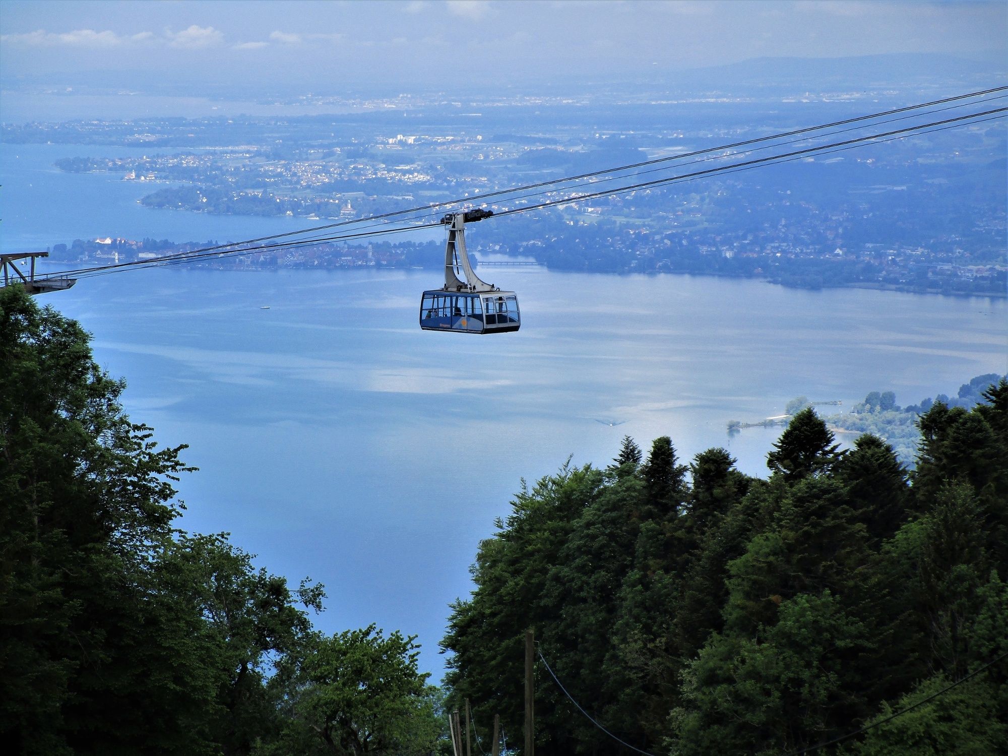
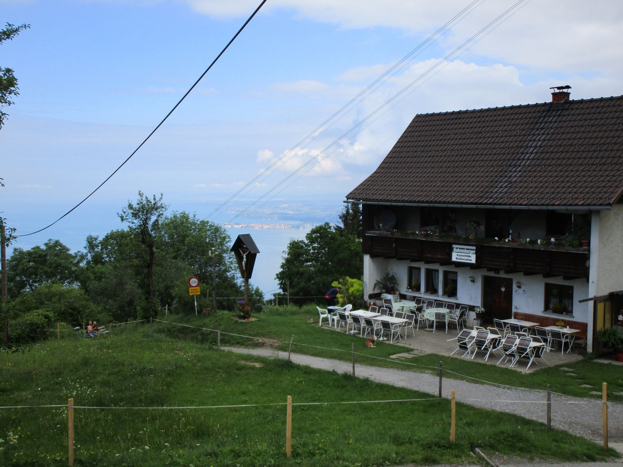
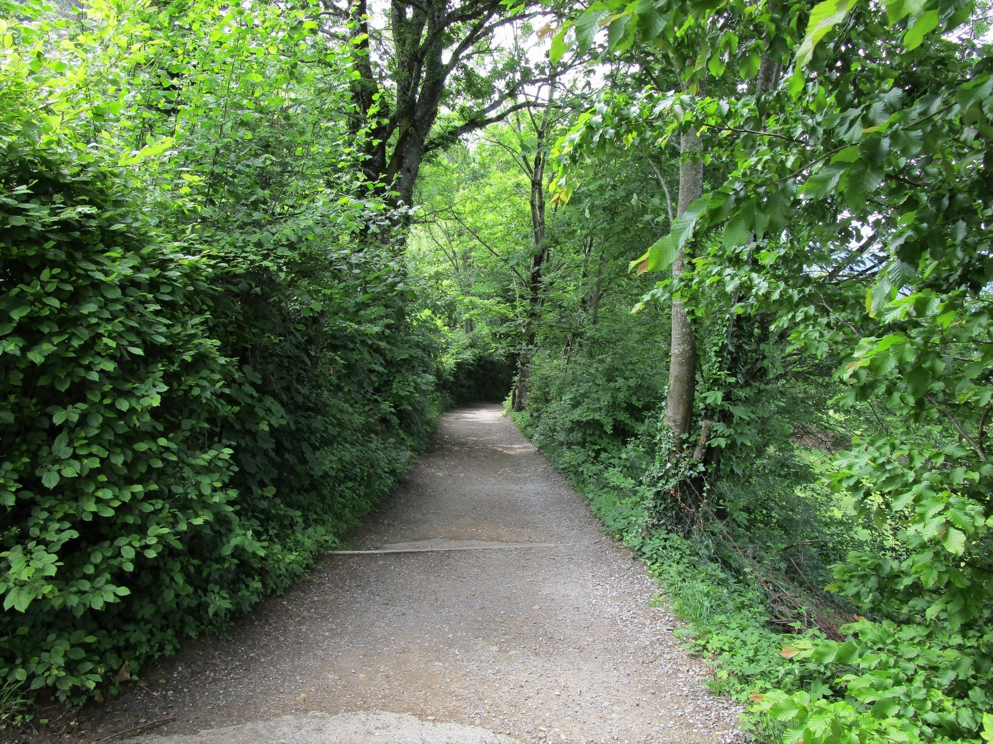
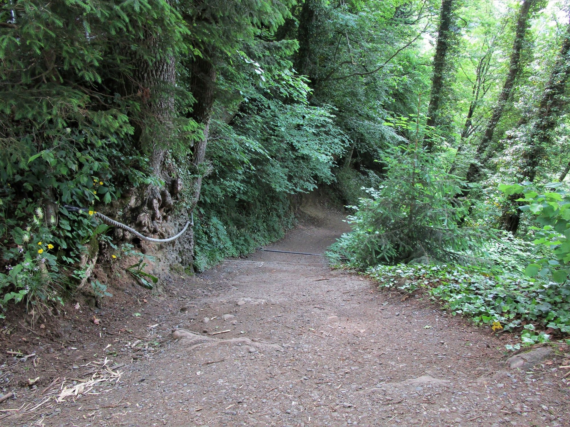
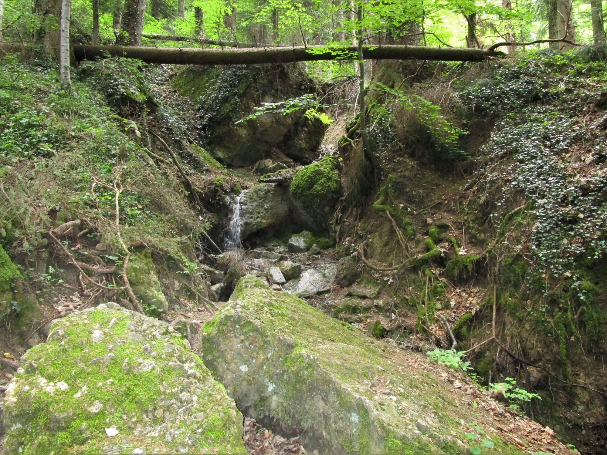
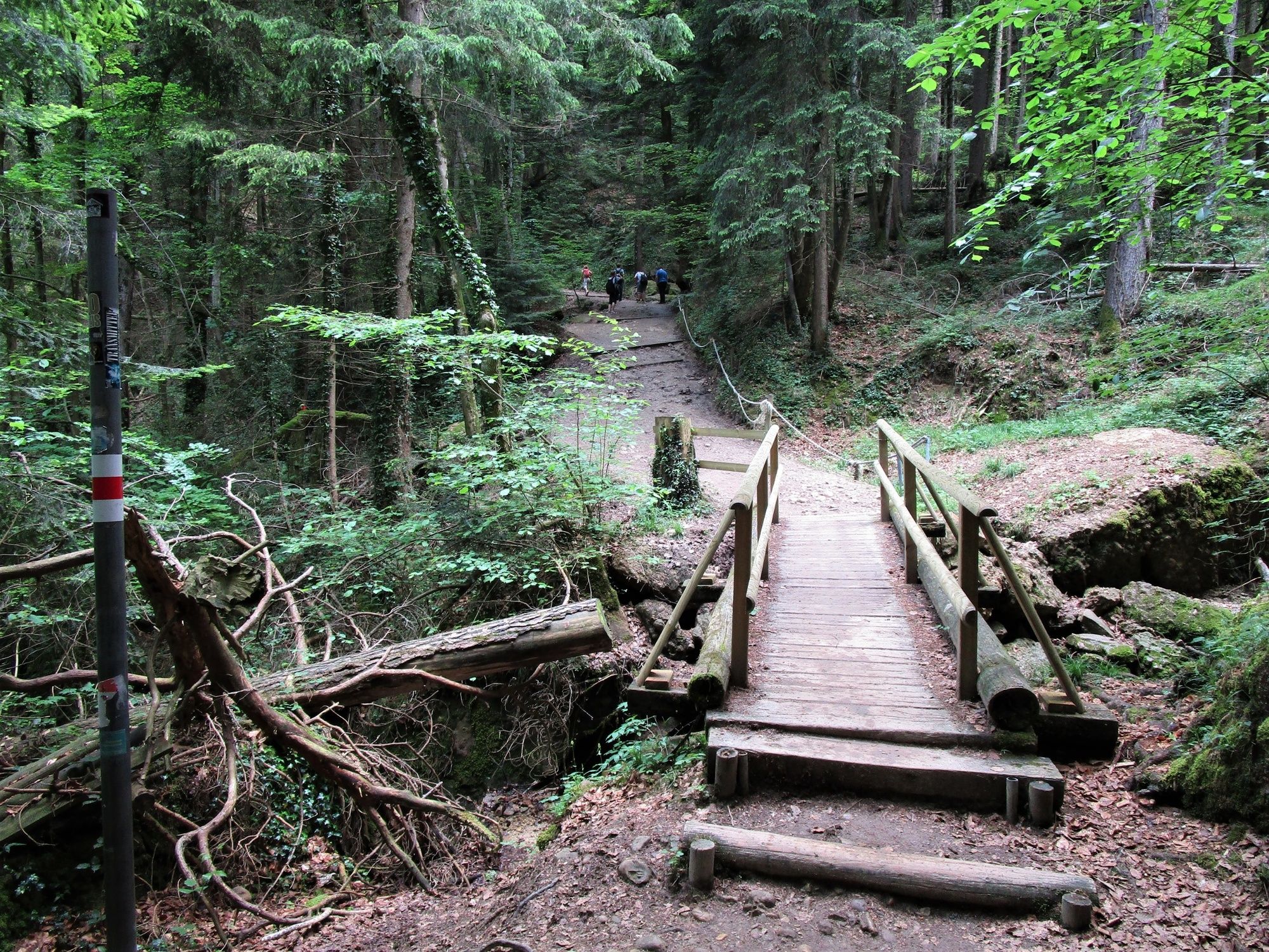
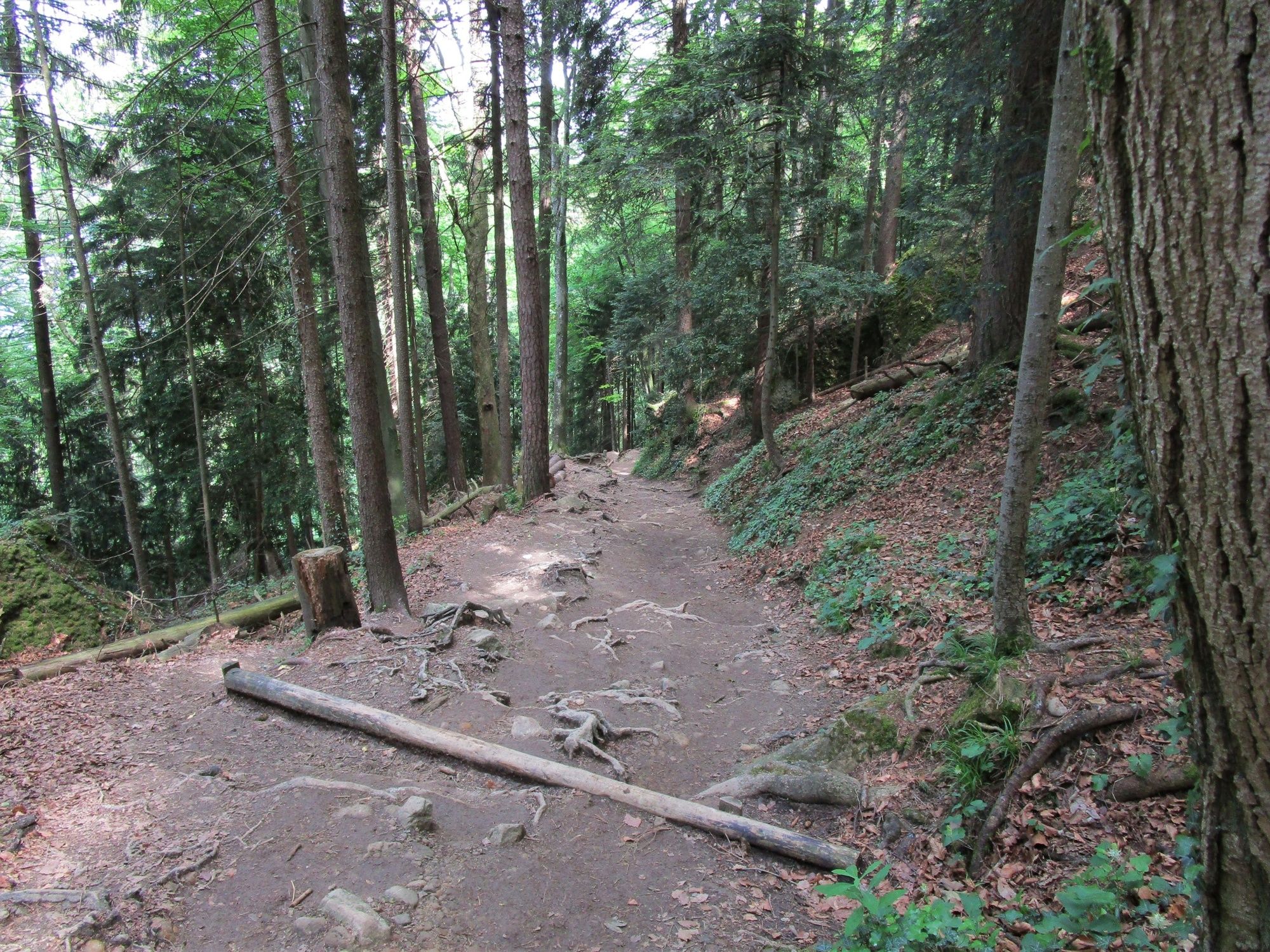
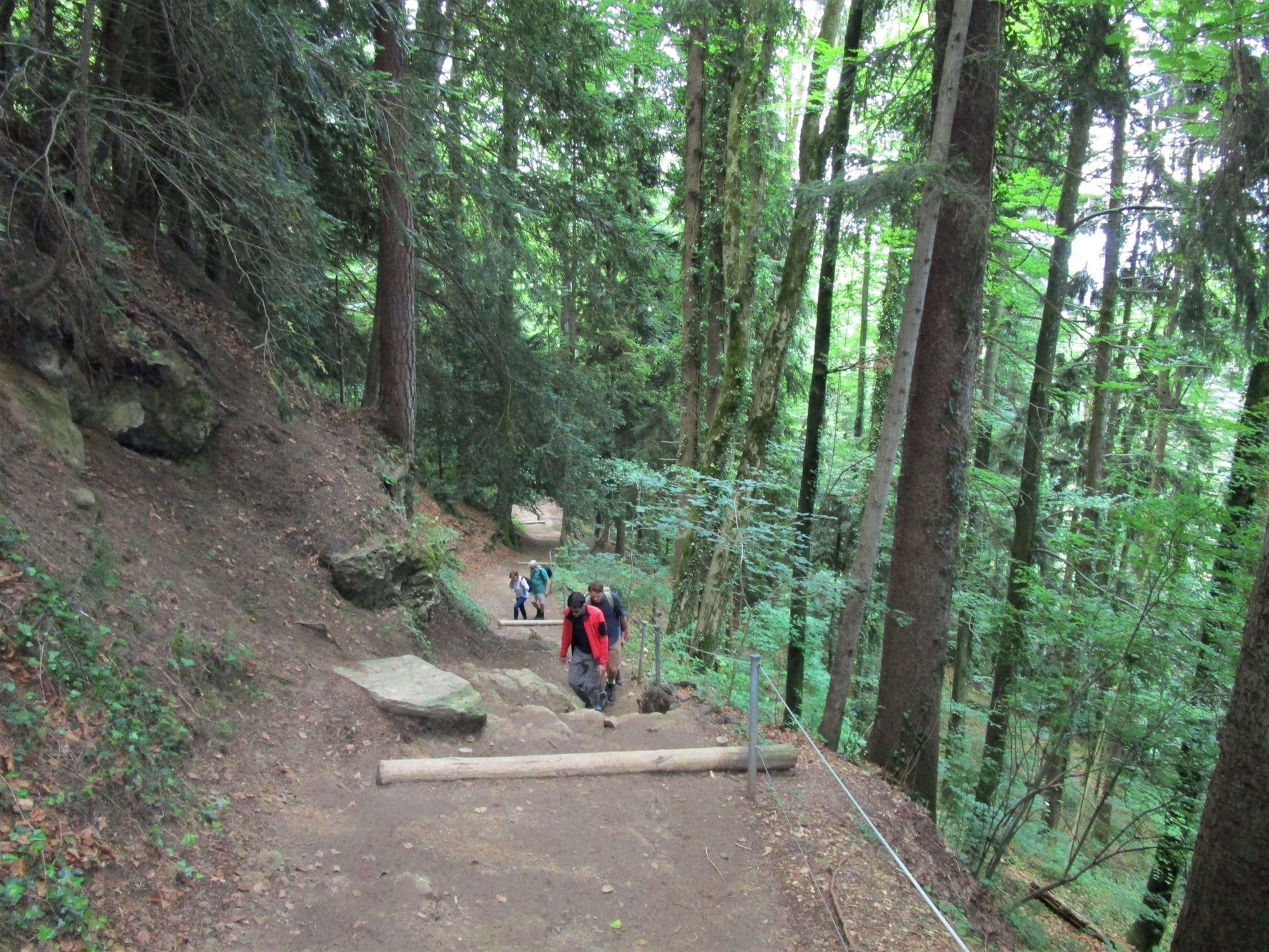
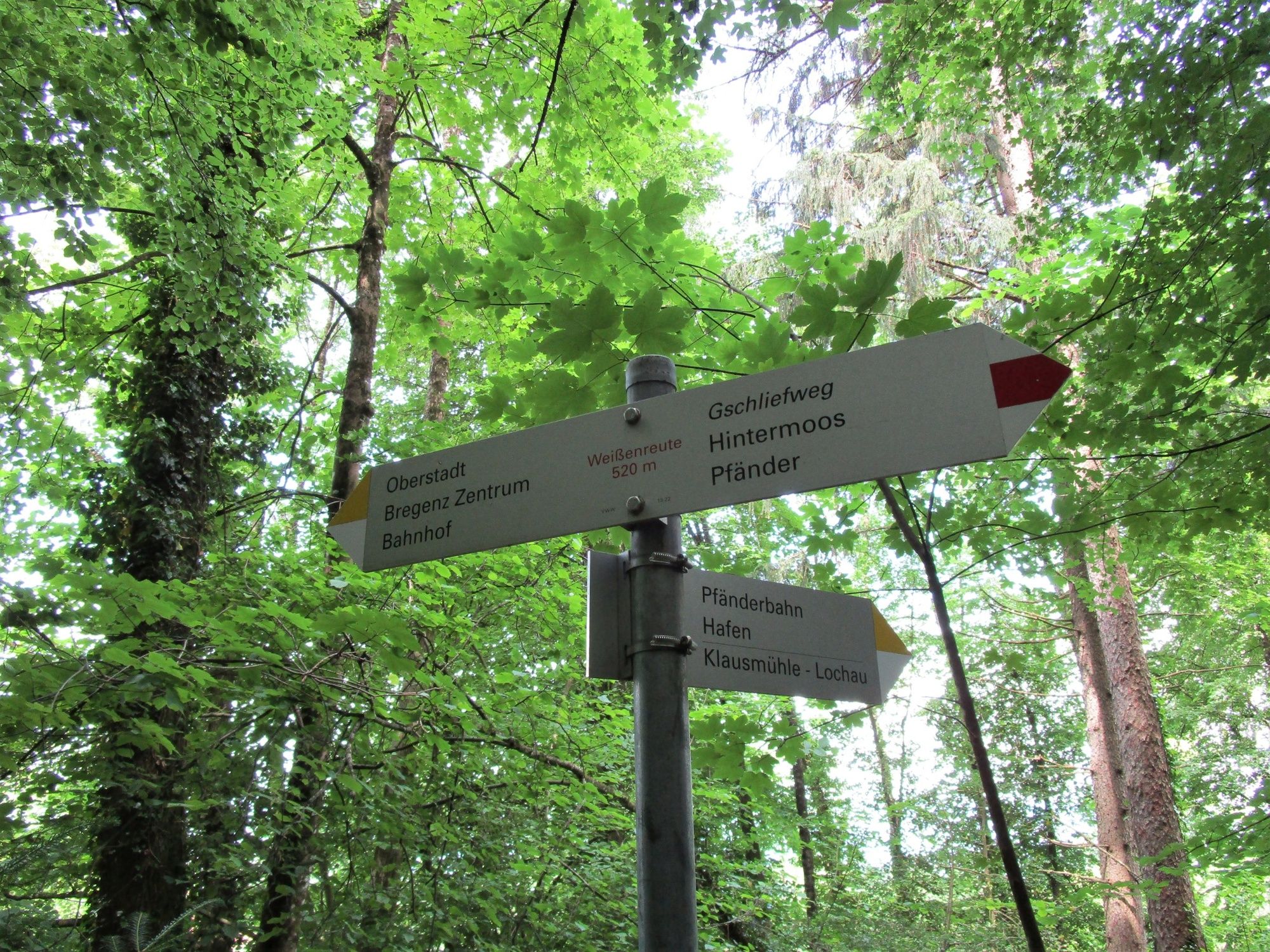
Aussichtsreiche Wanderung von der Bergstation der Pfänderbahn über den teils steilen, aber interessanten Gschliefweg zurück zur Talstation.
- Stopień trudności
-
średni
- Ocena
-
- Trasa
-
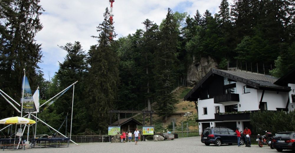
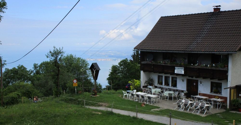
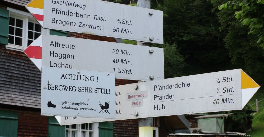
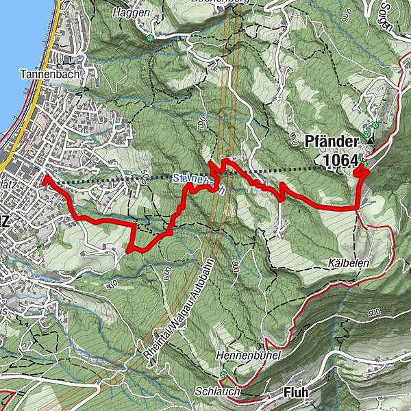
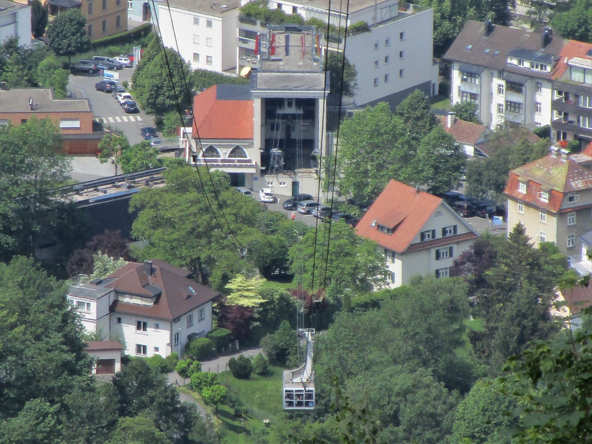
Gaststüble Halbstation1,2 kmPfänderbahn Talstation3,7 kmBregenz (427 m)3,8 km
- Najlepszy sezon
-
stylutmarkwimajczelipsiewrzpaźlisgru
- Najwyższy punkt
- 1.018 m
- Miejsce docelowe
-
Talstation Pfänderbahn
- Profil wysokości
-


- Autor
-
Wycieczka Sportliche Talwanderung: Pfänderbahn - über Gschliefweg - Bregenz jest używany przez outdooractive.com pod warunkiem.
GPS Downloads


Informacje ogólne
Przystanek odświeżania
Obiecujący
Więcej wycieczek w regionach
-
St. Gallen - Bodensee
2064
-
Bodensee - Vorarlberg
1315
-
Bregenz - Pfänderbahn
340


